Elevation of Cabugao, Bato, Catanduanes, Philippines
Location: Philippines > Bicol > Catanduanes > Bato >
Longitude: 124.283831
Latitude: 13.600026
Elevation: 21m / 69feet
Barometric Pressure: 101KPa
Elevation Map:
Satellite Map:
Related Photos:
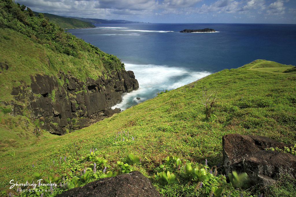
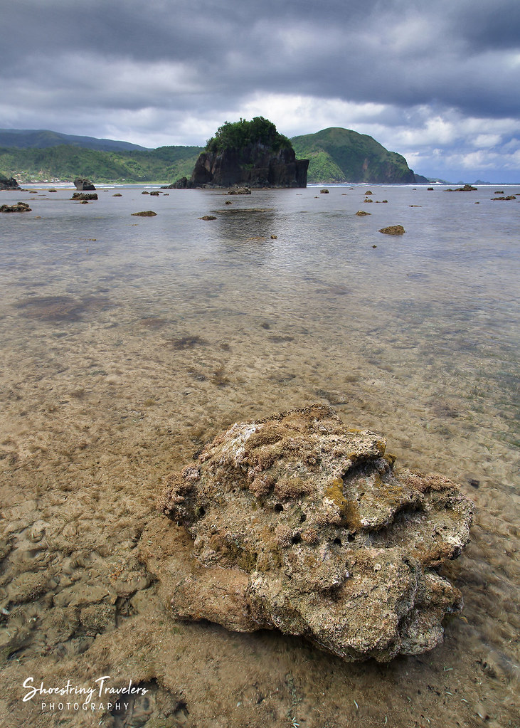
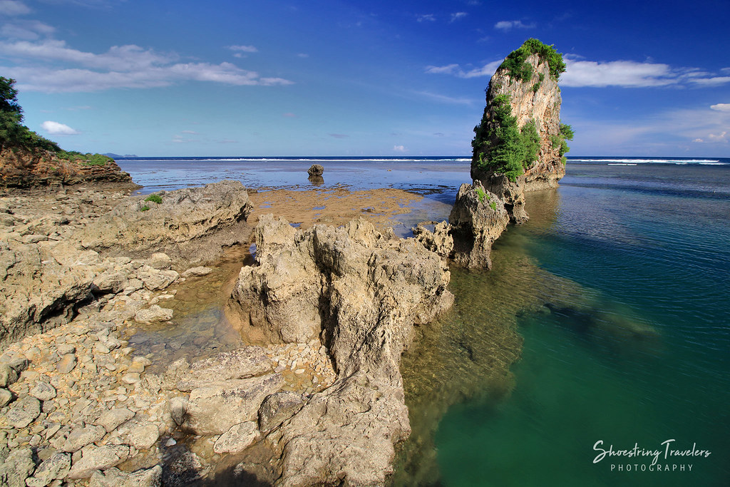
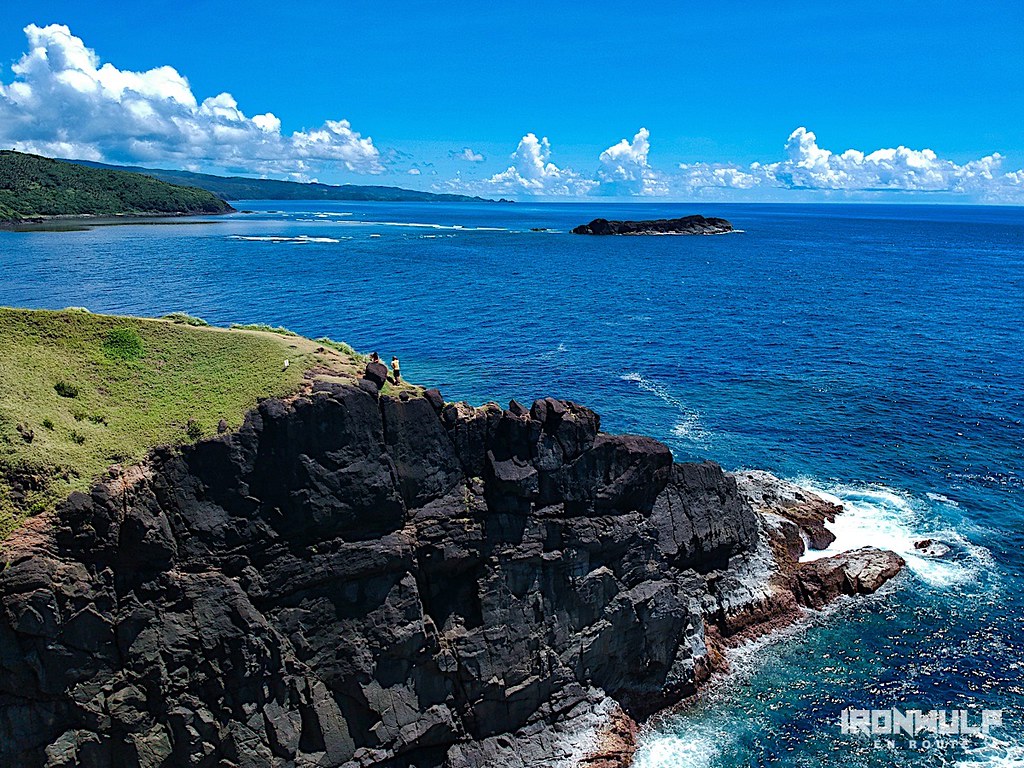
Pacific View
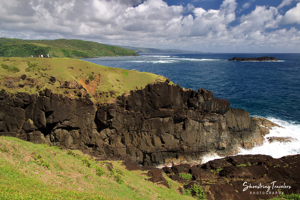
Catanduanes Coast
Coastal View
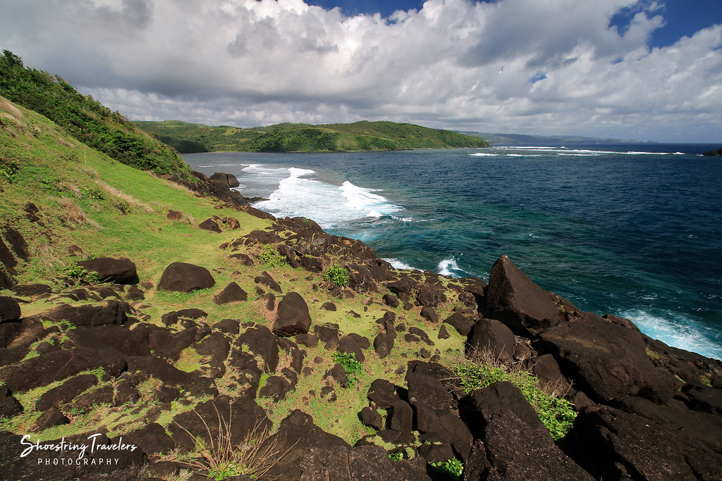
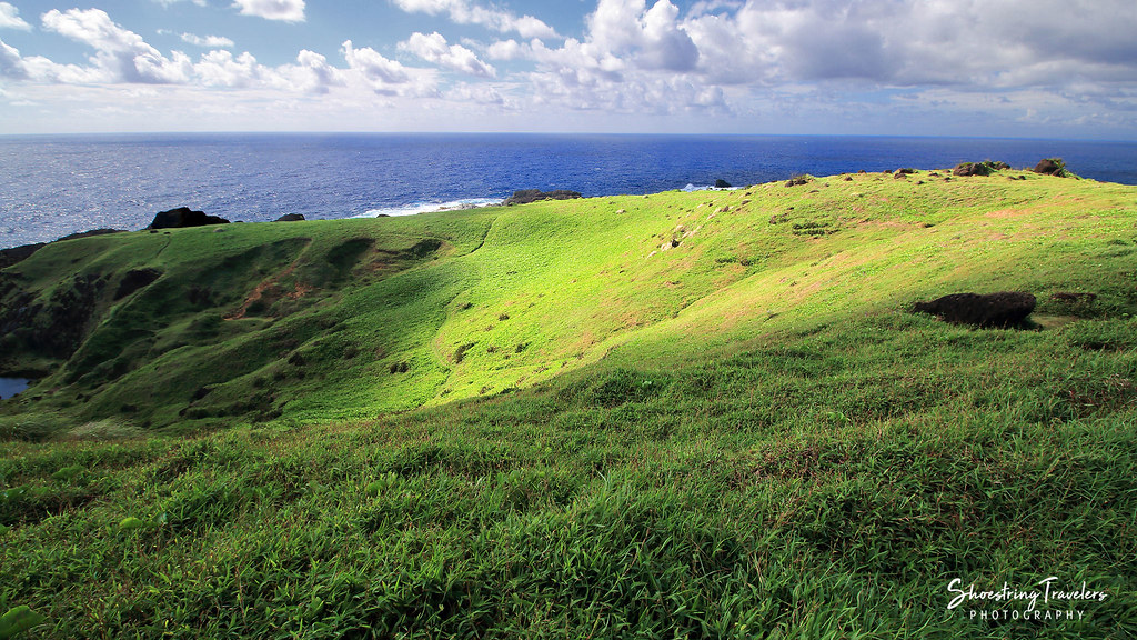
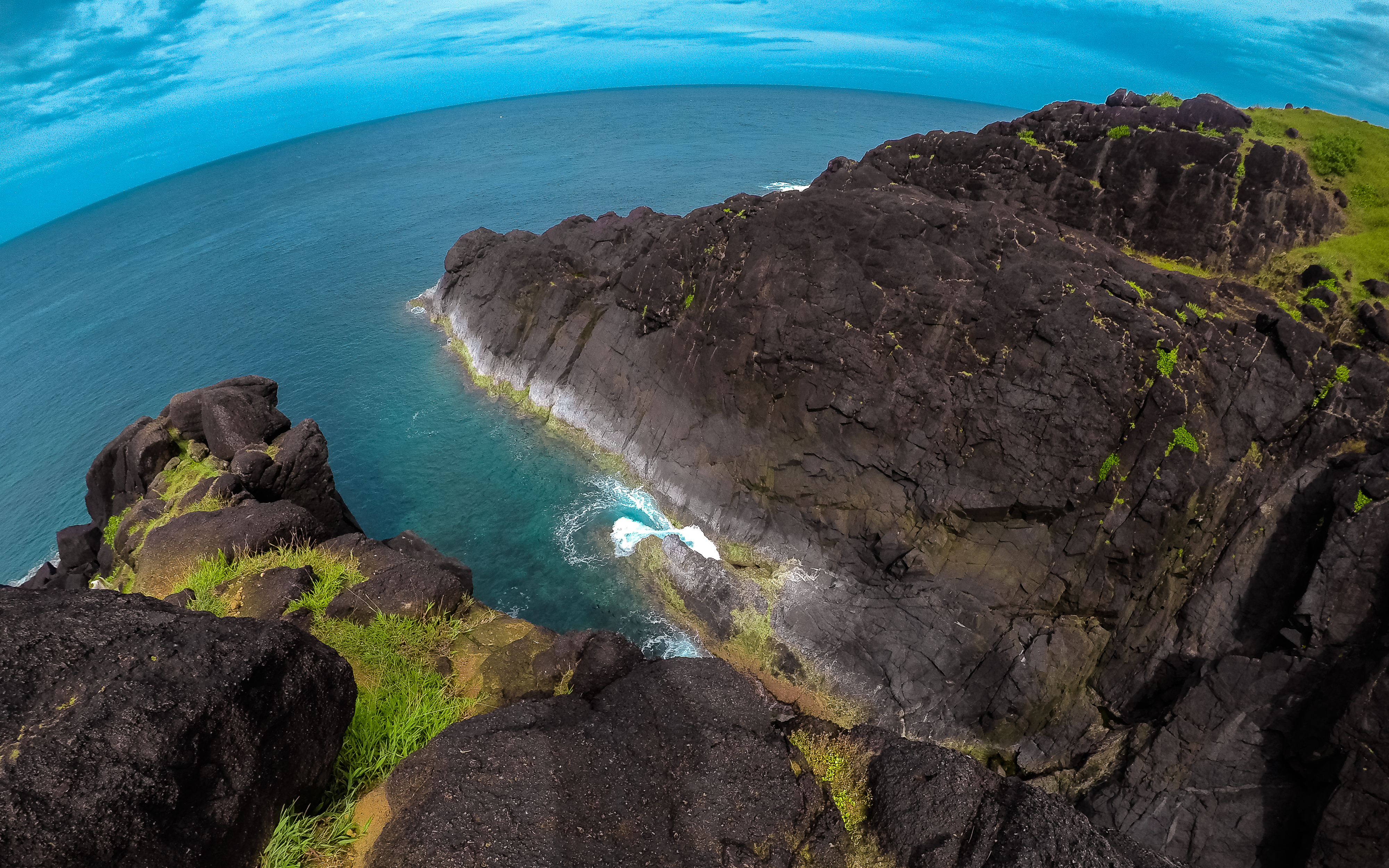
Through the Hills
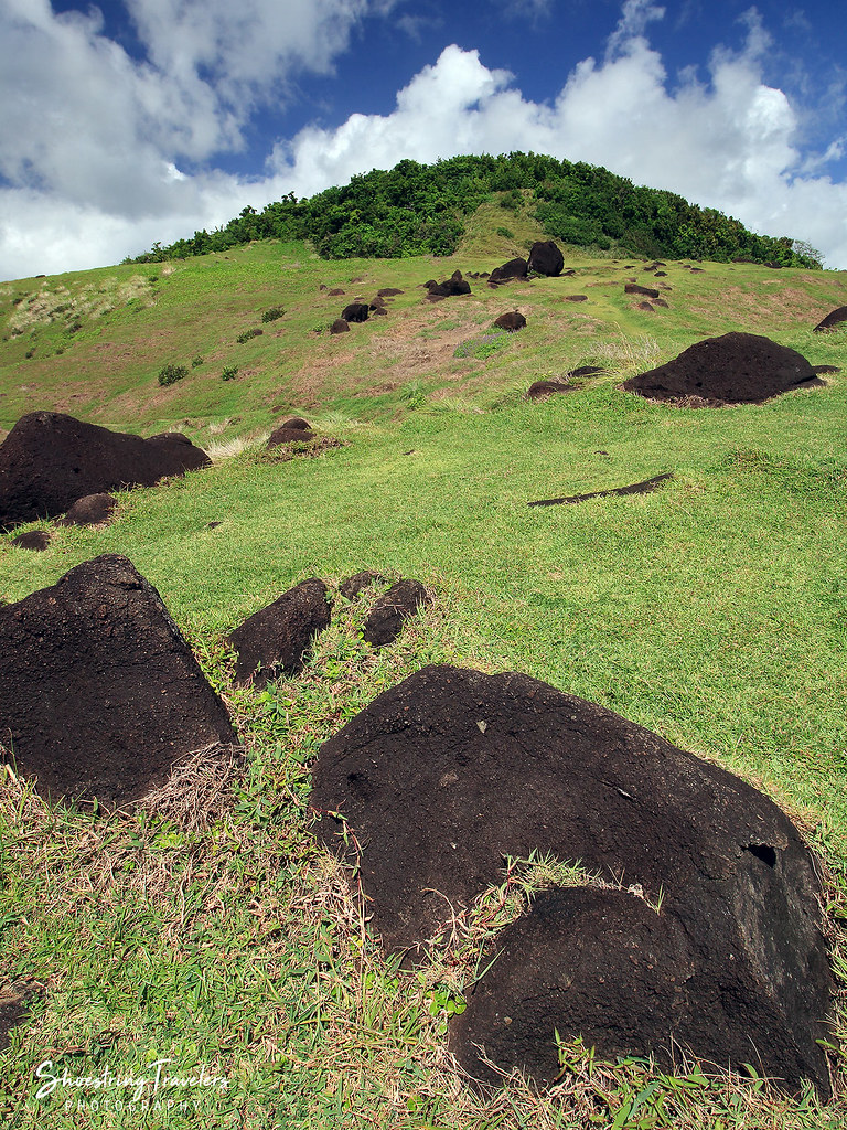
Binurong's Hills
Binurong Point

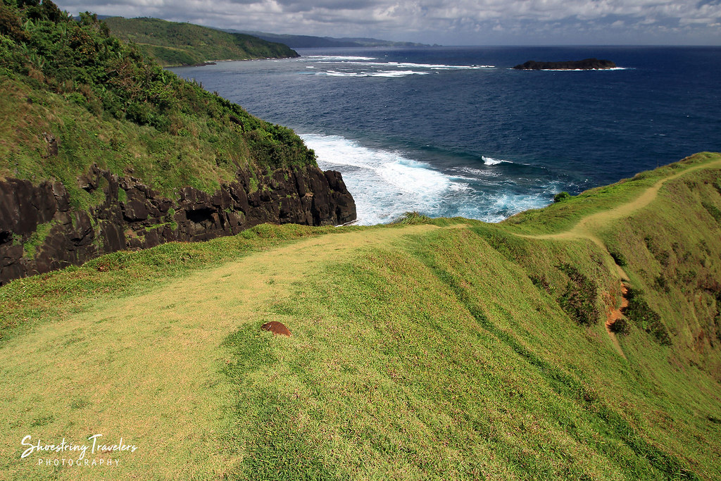
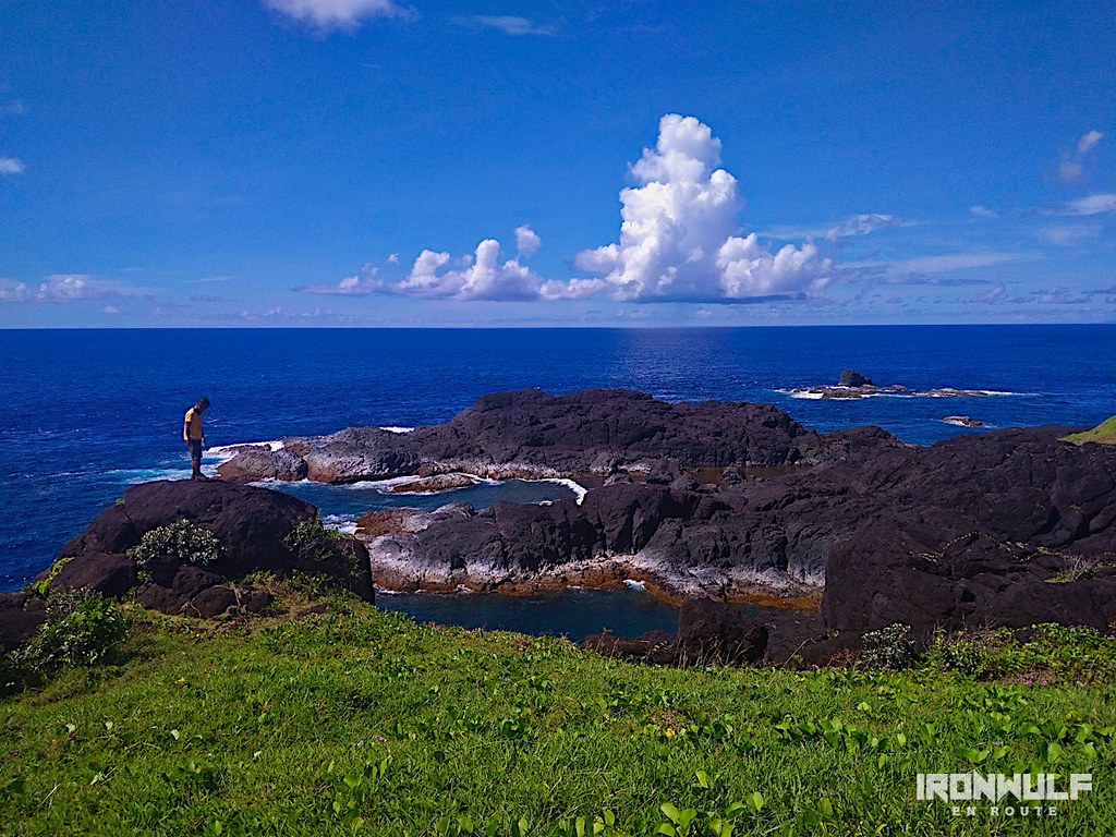
Binurong Point
Light and Shadows in the Land of Howling Winds
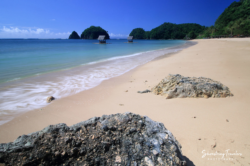
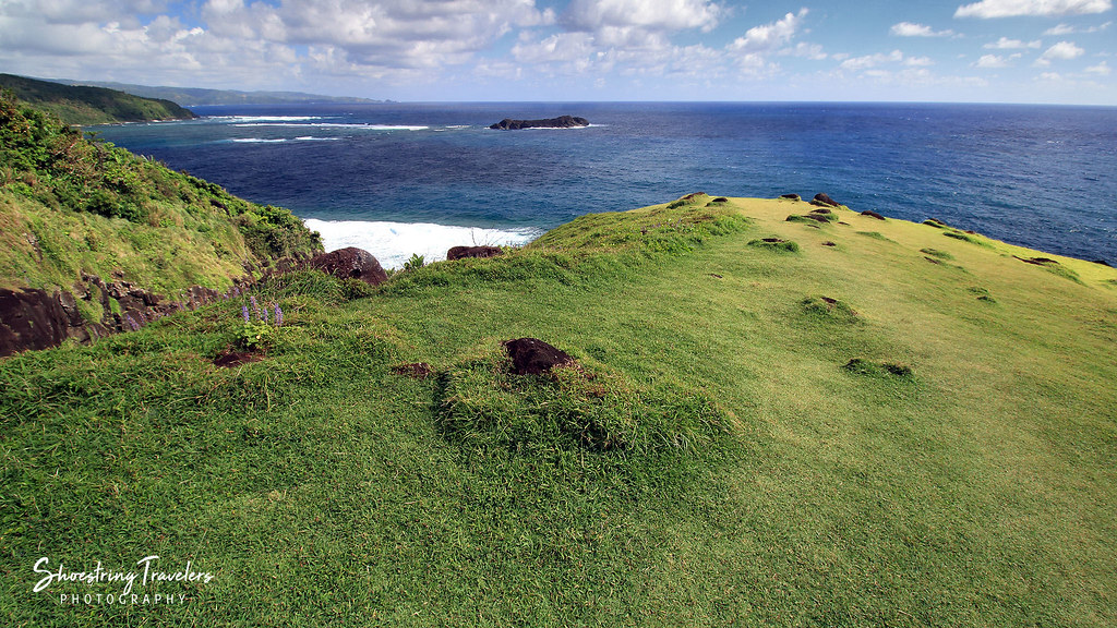
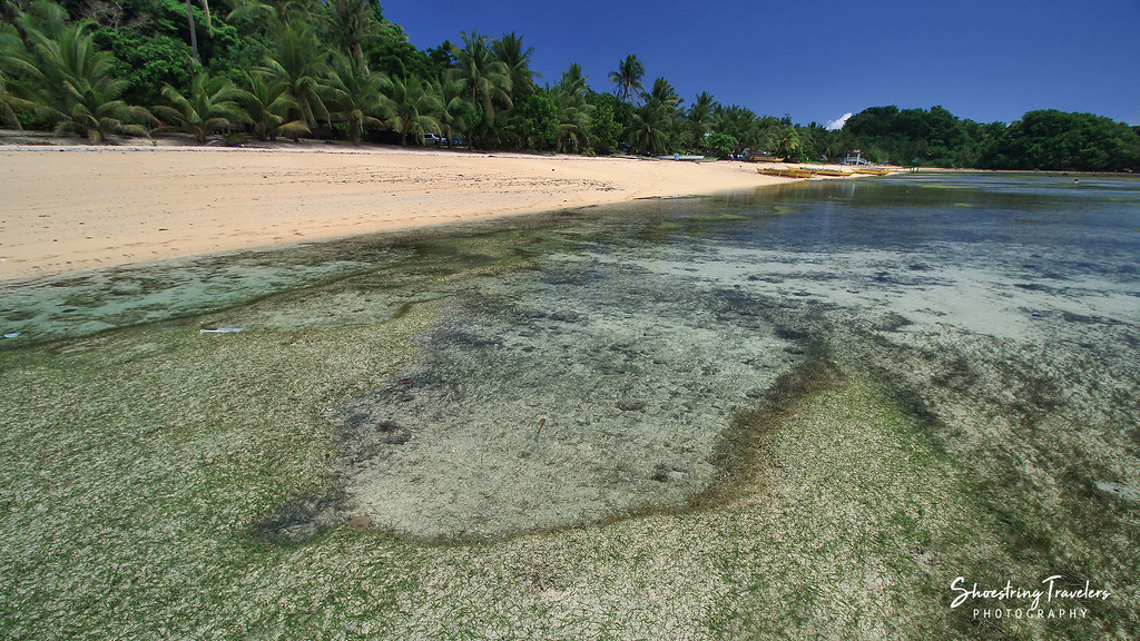
Igang Beach
Puraran Low Tide
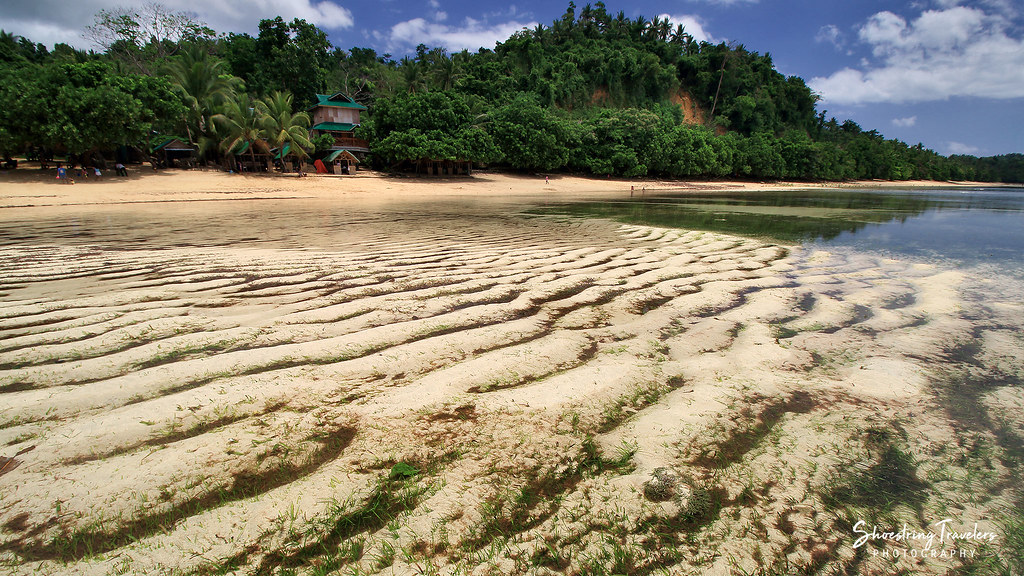
Patterns in the Sand
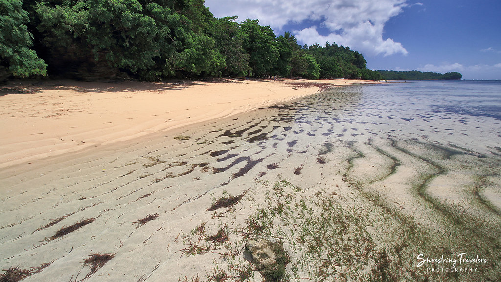
Mamangal Beach
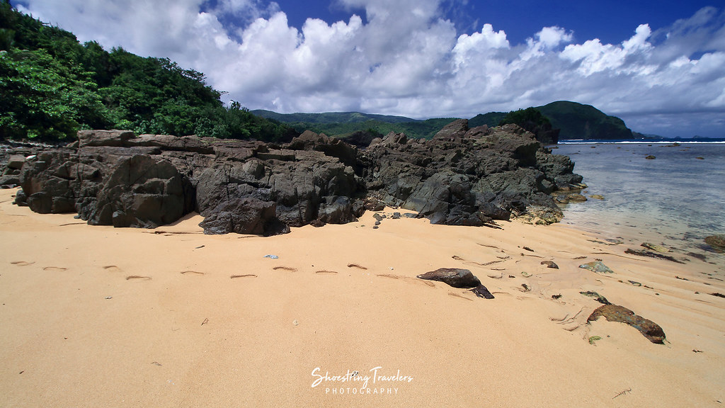
Puraran Rocks!

Wild Flowers
Dive Pool
BINURONG POINT
Binurong Point

Puraran Beach
Low Tide at Batag Beach
Binurong Point

Twin Rock Beach
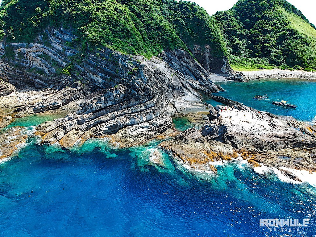
Carorian Poseidon Rock
Topographic Map of Cabugao, Bato, Catanduanes, Philippines
Find elevation by address:

Places near Cabugao, Bato, Catanduanes, Philippines:
Bato Municipal Hall
Barangay Libod
Tamburan
Bato
Bote
Pananaogan
Bote Lighthouse
Antipolo Del Norte
Catanduanes
Baras
Mamangal Beach Resort
Binurong View Point
Catanduanes Island
Barangay Obi
Pedro Vera (summit)
San Andres
Caramoran
Bagamanoc
Bacacay
Basud
Recent Searches:
- Elevation of Zimmer Trail, Pennsylvania, USA
- Elevation of 87 Kilmartin Ave, Bristol, CT, USA
- Elevation of Honghe National Nature Reserve, QP95+PJP, Tongjiang, Heilongjiang, Jiamusi, Heilongjiang, China
- Elevation of Hercules Dr, Colorado Springs, CO, USA
- Elevation of Szlak pieszy czarny, Poland
- Elevation of Griffing Blvd, Biscayne Park, FL, USA
- Elevation of Kreuzburger Weg 13, Düsseldorf, Germany
- Elevation of Gateway Blvd SE, Canton, OH, USA
- Elevation of East W.T. Harris Boulevard, E W.T. Harris Blvd, Charlotte, NC, USA
- Elevation of West Sugar Creek, Charlotte, NC, USA