Elevation of CA-36, Red Bluff, CA, USA
Location: United States > California > Tehama County > Red Bluff >
Longitude: -122.07073
Latitude: 40.3133852
Elevation: 186m / 610feet
Barometric Pressure: 99KPa
Elevation Map:
Satellite Map:
Related Photos:

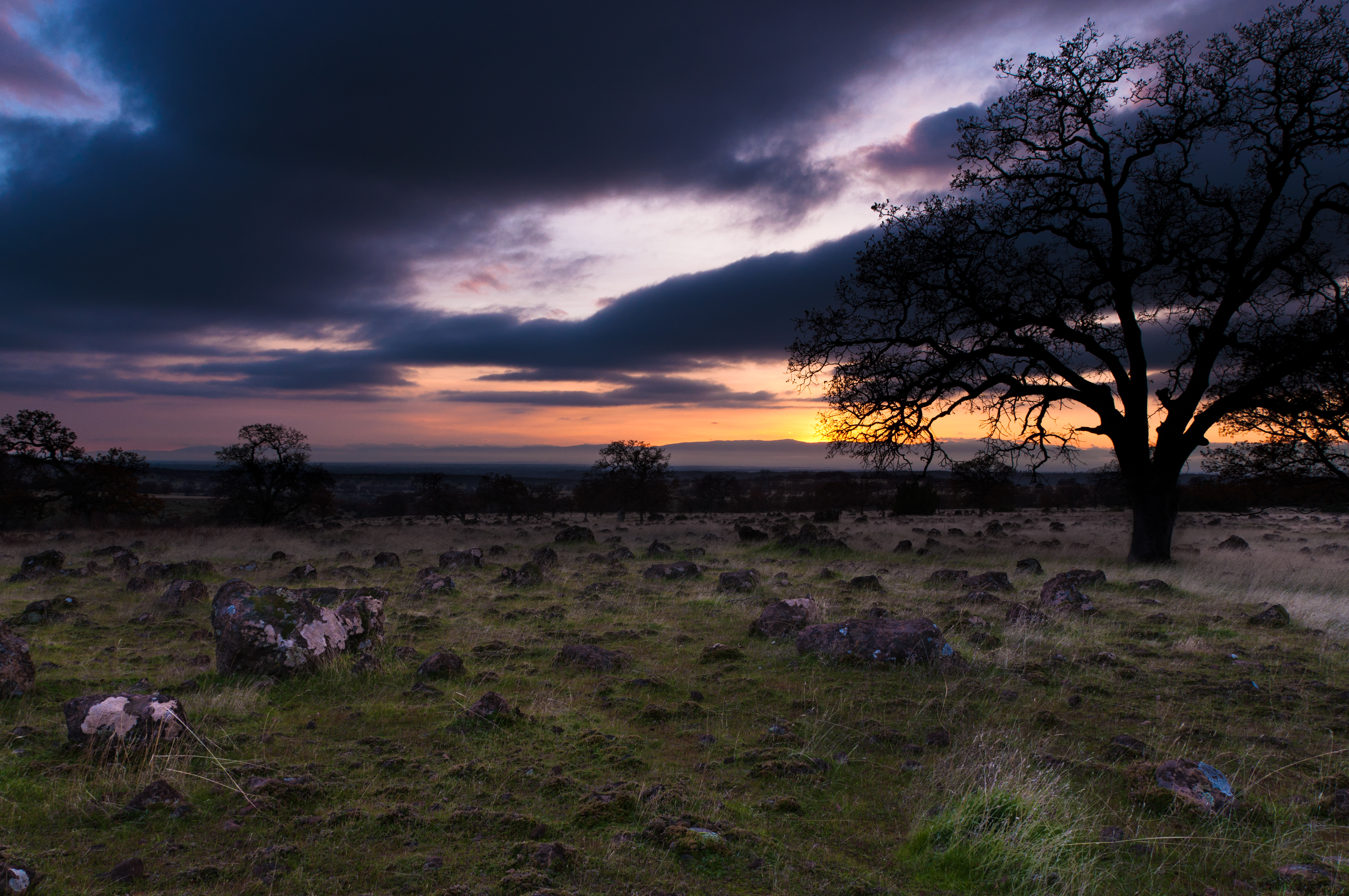
Oh yeah! (Mt. Lassen Sunrise)

Iron Canyon Loop
Strip [4]

Sacramento River (Livin' on the Edge)

Sacramento River (His Glory)

Coyote Pond - A New Breathe

Oak Slough

Sacramento River (His Glory)

Dinner Time!
Iron Canyon Trail
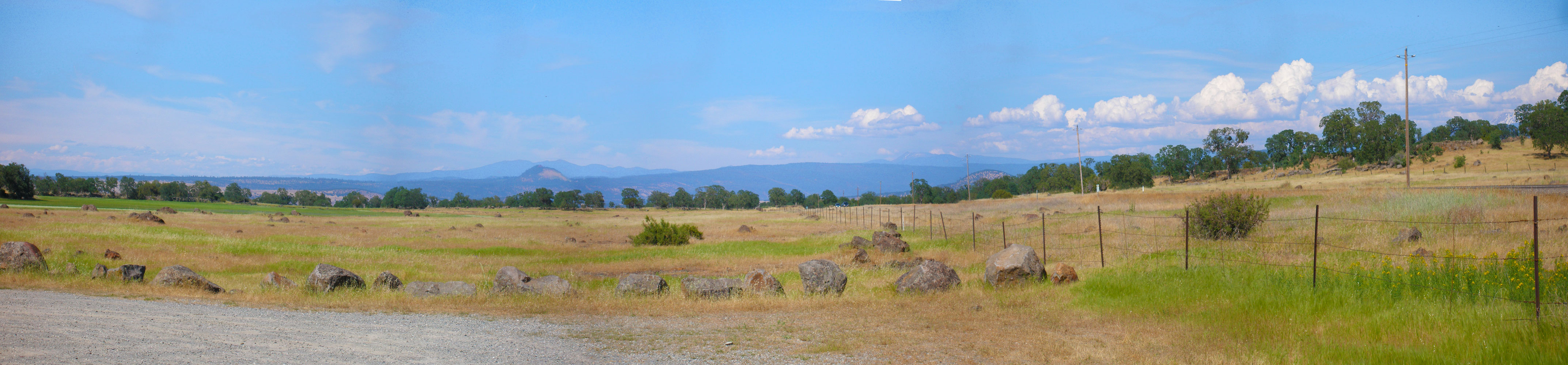
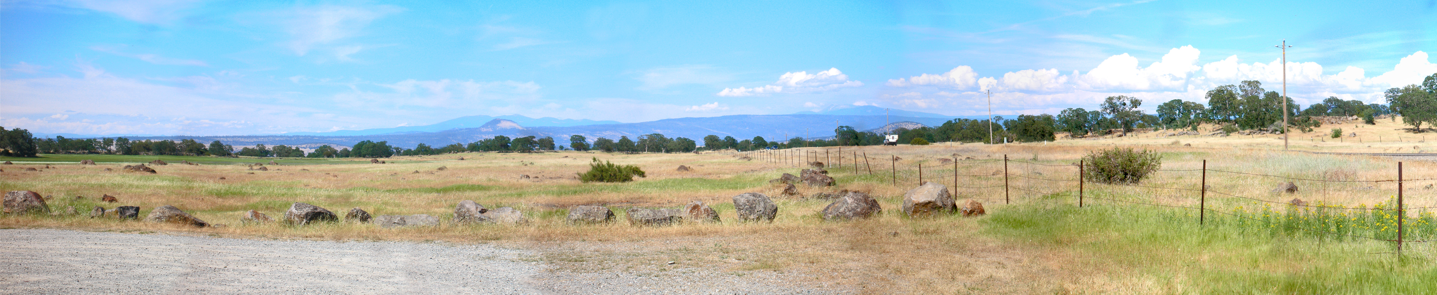
hog-lake-pano-west

Sacramento River (Dreaming in Vertical)
Alive on I-5, 4 :: #redbluff #california #highway36 #red #bluff #tree #field #beautiful #blue #sky #puffy #clouds #golden #landscape #day #vibrant #cloudscape
A Buck Short
Sunsets forever

Iron Canyon Trail

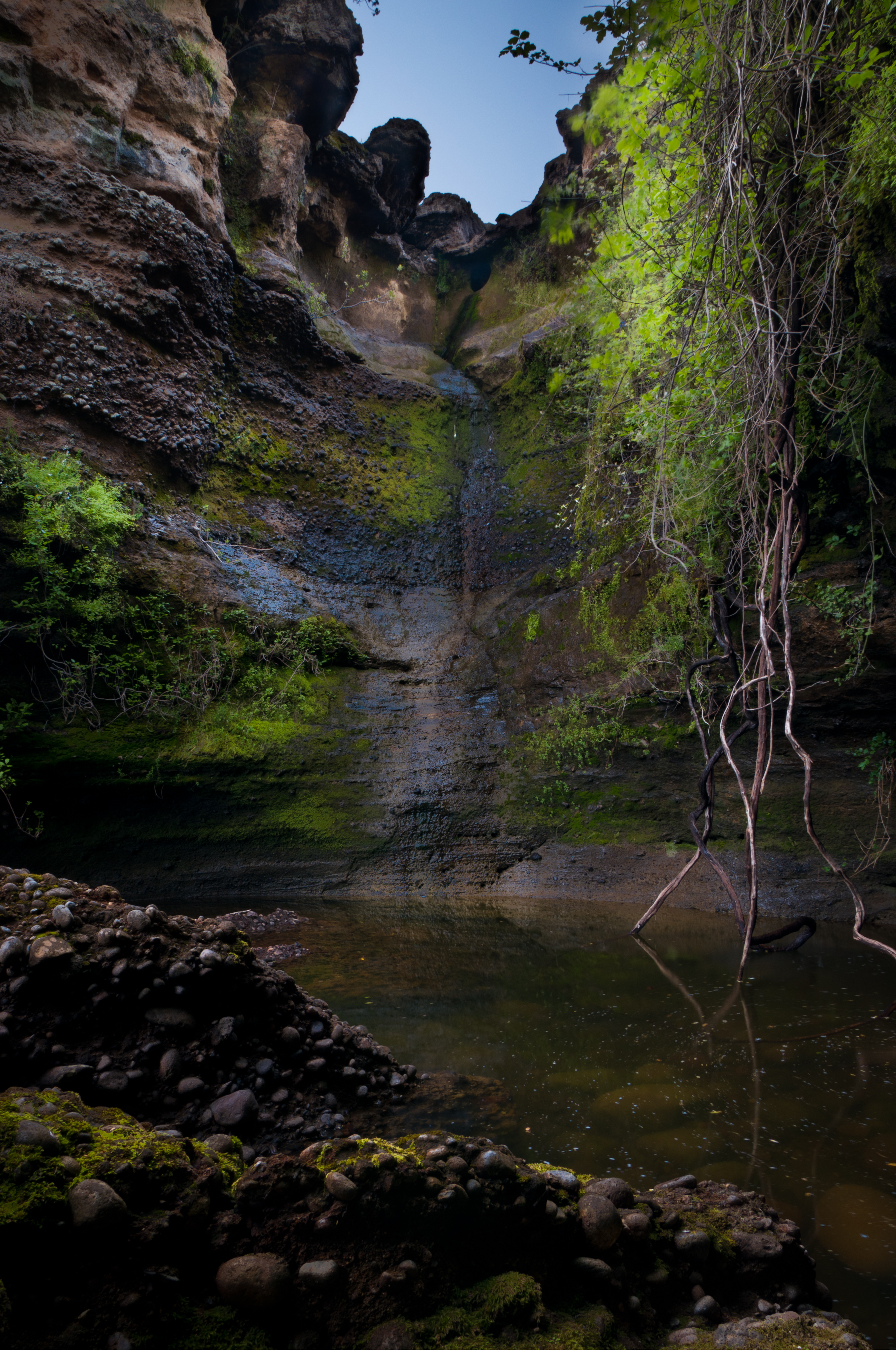
Turtle Creek Falls (To the Edge)

Sacramento Valley (Endless Hope)
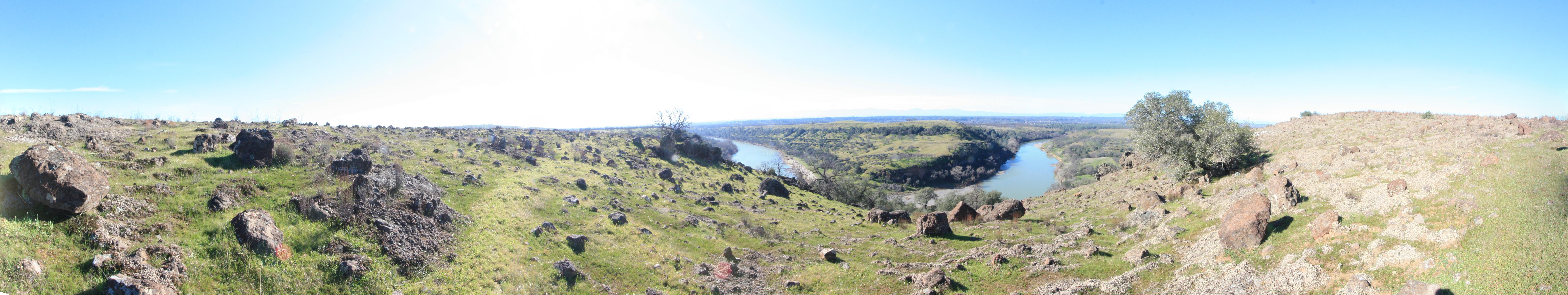
hog-lake-pano-east-auto
Iron Canyon Trail
hog-lake-pano-east-3

Iron Canyon Trail
Topographic Map of CA-36, Red Bluff, CA, USA
Find elevation by address:

Places near CA-36, Red Bluff, CA, USA:
27420 Ca-36
Gover Rd, Anderson, CA, USA
18957 Ketch Pl
22687 River View Dr
22495 Vía Pasado
22481 Cloud Creek Pl
Brent Rd, Red Bluff, CA, USA
15965 E Wallen Rd
Bend
Plum Creek Rd, Paynes Creek, CA, USA
Paynes Creek
Middletree Ranch Road
27202 Lack Creek Dr
Dersch Road
27019 Dersch Rd
Penner Drive
Kauffman Ave, Red Bluff, CA, USA
Dersch Road
Lyn Ellen Drive
Frantz Drive
Recent Searches:
- Elevation of F36W+3M, Mussoorie, Uttarakhand, India
- Elevation of Fairland Ave, Fairhope, AL, USA
- Elevation of Sunset Dr, Richmond, VA, USA
- Elevation of Grodna District, Hrodna Region, Belarus
- Elevation of Hrodna, Hrodna Region, Belarus
- Elevation of Sandia Derby Estates, Tijeras, NM, USA
- Elevation of 23 Sunrise View Ct, Tijeras, NM, USA
- Elevation of Lytham Ln, Katy, TX, USA
- Elevation of Tater Hill, Oklahoma, USA
- Elevation of NY-, Friendship, NY, USA