Elevation of Cloud Creek Pl, Cottonwood, CA, USA
Location: United States > California > Tehama County >
Longitude: -122.19920
Latitude: 40.3706041
Elevation: 177m / 581feet
Barometric Pressure: 99KPa
Elevation Map:
Satellite Map:
Related Photos:
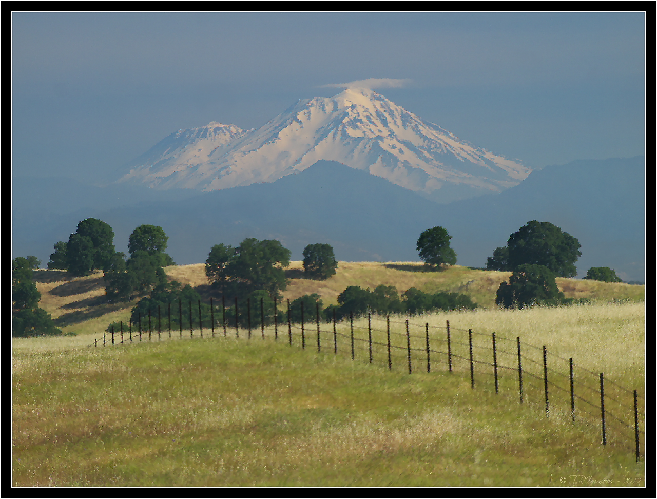
Mount Shasta - A Telephoto Landscape

Iron Canyon Loop

OZ (2)

Together Again

View of mom's house as I left. #theknottyknitter

View of the berry patch

Another berry patch view

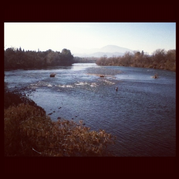
Sacramento River (Livin' on the Edge)

Sacramento River (His Glory)

Sacramento River (His Glory)

Sacramento River (Dreaming in Vertical)

On the Road to Mt. Shasta

Leaving Lassen

Corn field
Alive on I-5, 4 :: #redbluff #california #highway36 #red #bluff #tree #field #beautiful #blue #sky #puffy #clouds #golden #landscape #day #vibrant #cloudscape
A man fly fishing in the Sacramento River. #sacramento #river #redding #california #roadtrip #sunny #blue #sky #fly #fishing #roadtrip #california #instagram #instagold #instagood #igaddicts #ipodtouch #igdaily #ipod
A Buck Short

Sunsets forever

sacramento river sunset

Barge Hole (Red Bloom)

Coyote Pond - A New Breathe
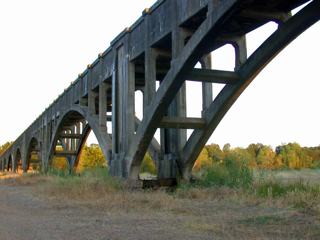
Anderson Aquaduct_03

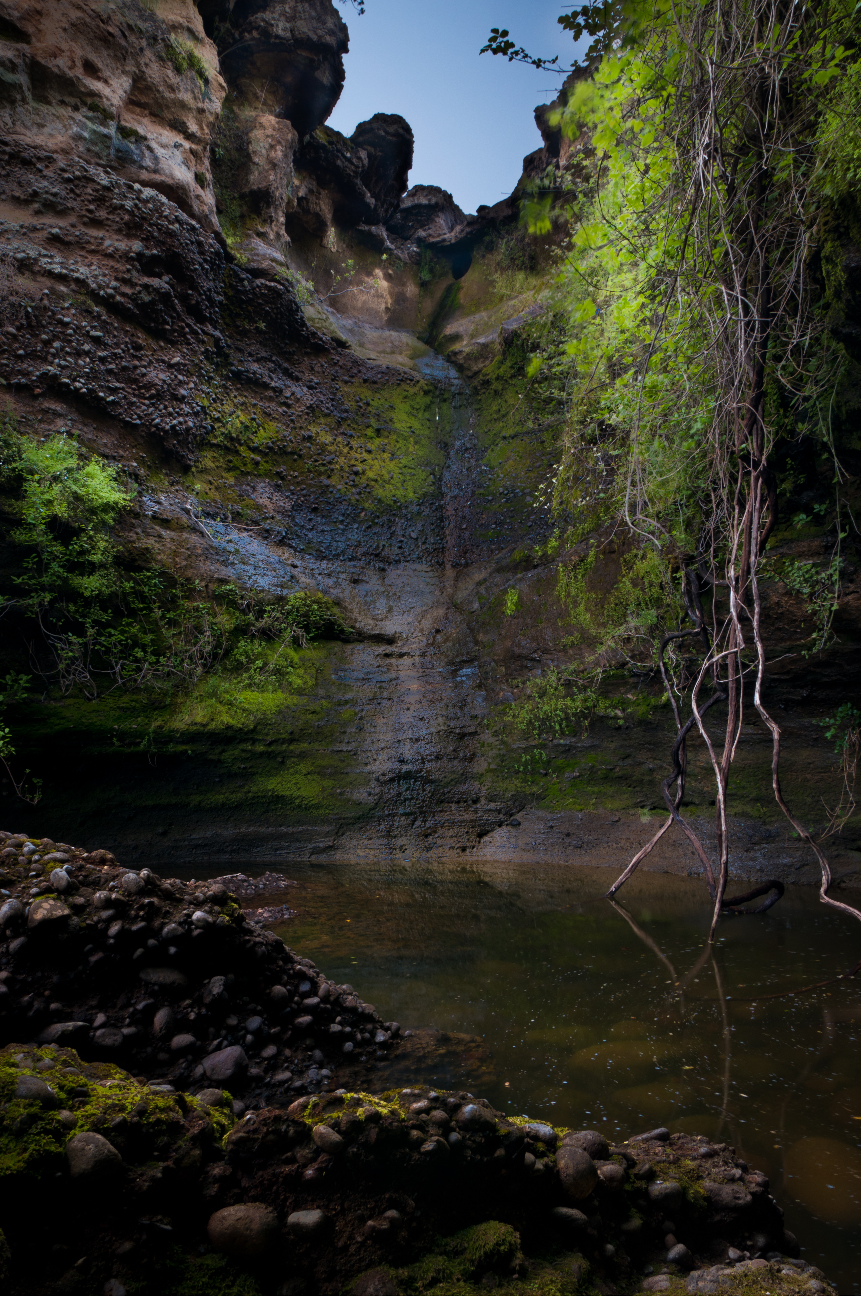
Turtle Creek Falls (To the Edge)

Lone.
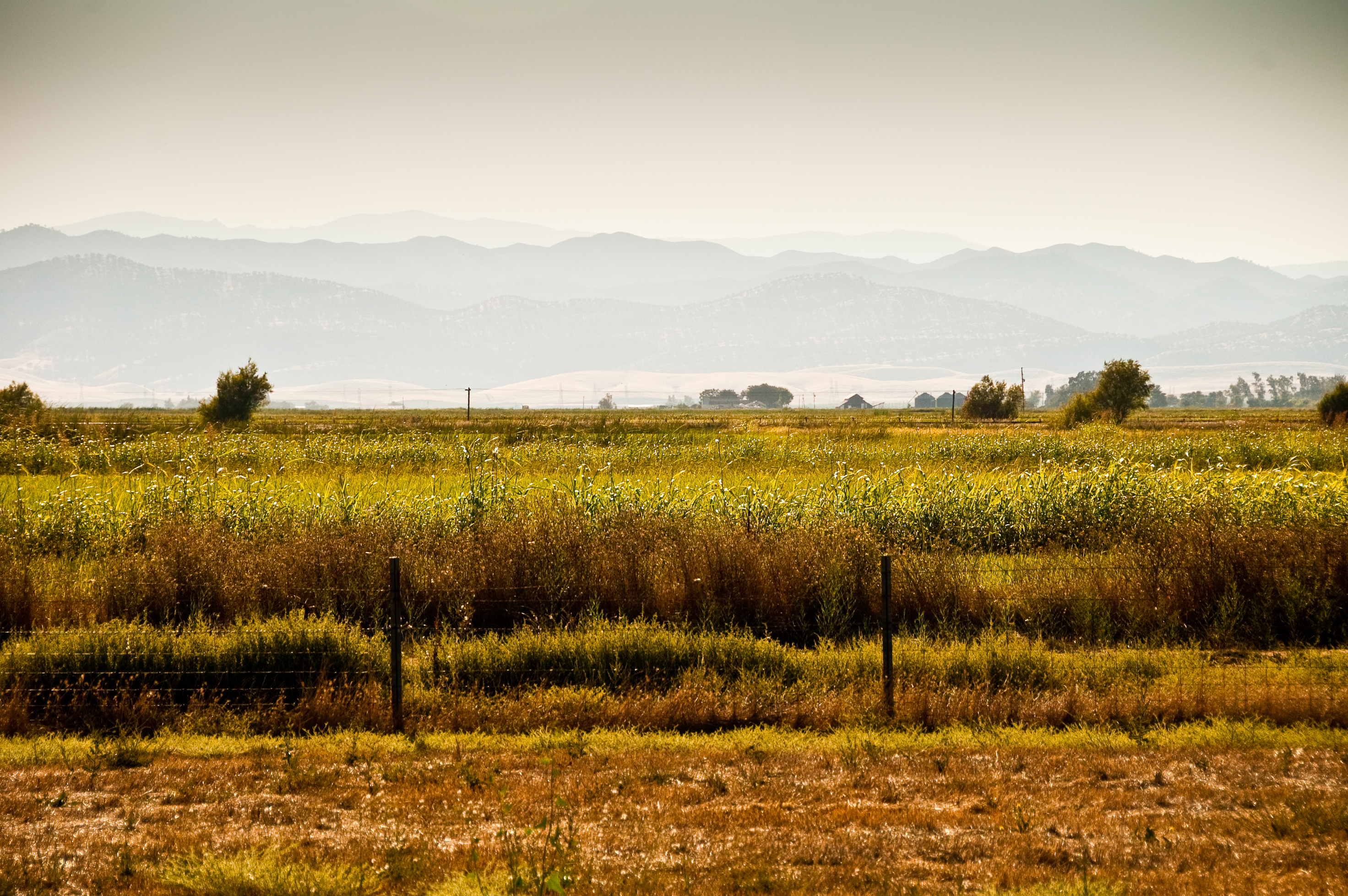
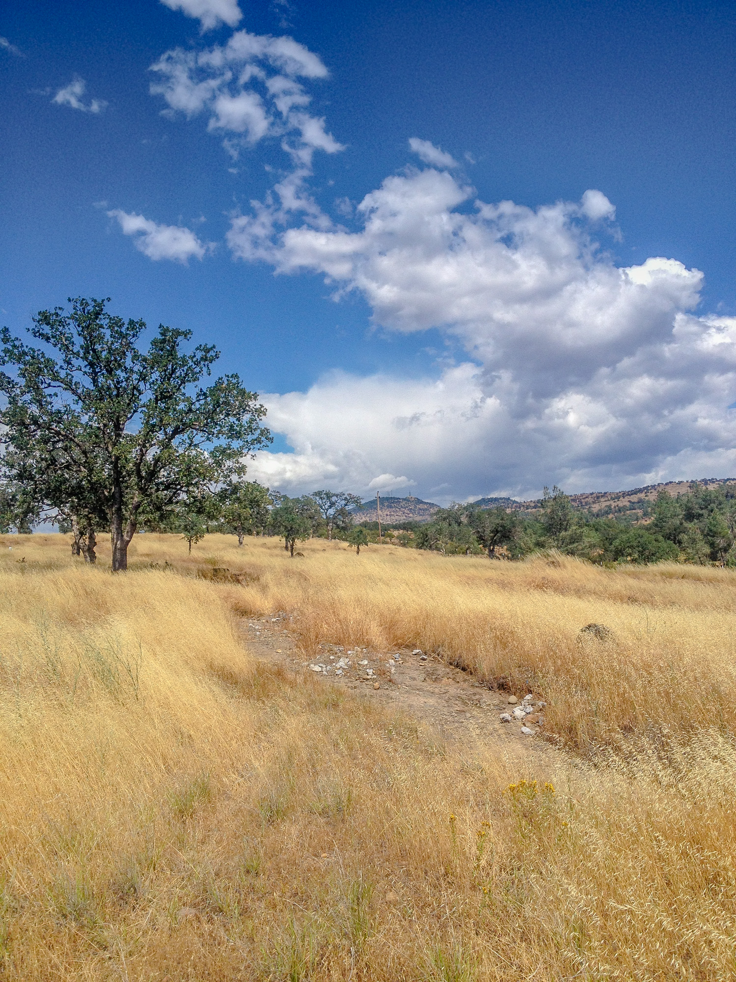
golden meadow
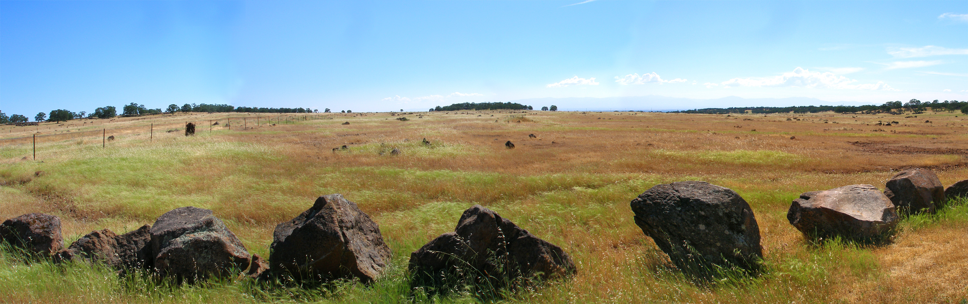
hog-lake-pano-west
Topographic Map of Cloud Creek Pl, Cottonwood, CA, USA
Find elevation by address:

Places near Cloud Creek Pl, Cottonwood, CA, USA:
22687 River View Dr
Gover Rd, Anderson, CA, USA
18957 Ketch Pl
Balls Ferry Road
Cottonwood Creek Charter School
Cottonwood
Cottonwood Community Library
3614 Park Dr
Lyn Ellen Drive
Frantz Drive
22495 Vía Pasado
Bend
20282 Domaine Pl
15965 E Wallen Rd
Brent Rd, Red Bluff, CA, USA
Penner Drive
Dersch Road
Anderson
2296 Howard St
3093 Sharon Ave
Recent Searches:
- Elevation of Kreuzburger Weg 13, Düsseldorf, Germany
- Elevation of Gateway Blvd SE, Canton, OH, USA
- Elevation of East W.T. Harris Boulevard, E W.T. Harris Blvd, Charlotte, NC, USA
- Elevation of West Sugar Creek, Charlotte, NC, USA
- Elevation of Wayland, NY, USA
- Elevation of Steadfast Ct, Daphne, AL, USA
- Elevation of Lagasgasan, X+CQH, Tiaong, Quezon, Philippines
- Elevation of Rojo Ct, Atascadero, CA, USA
- Elevation of Flagstaff Drive, Flagstaff Dr, North Carolina, USA
- Elevation of Avery Ln, Lakeland, FL, USA