Elevation map of Bokaro, Jharkhand, India
Location: India > Jharkhand >
Longitude: 85.971322
Latitude: 23.6635265
Elevation: 324m / 1063feet
Barometric Pressure: 97KPa
Elevation Map:
Satellite Map:
Related Photos:

Tenughat Dam
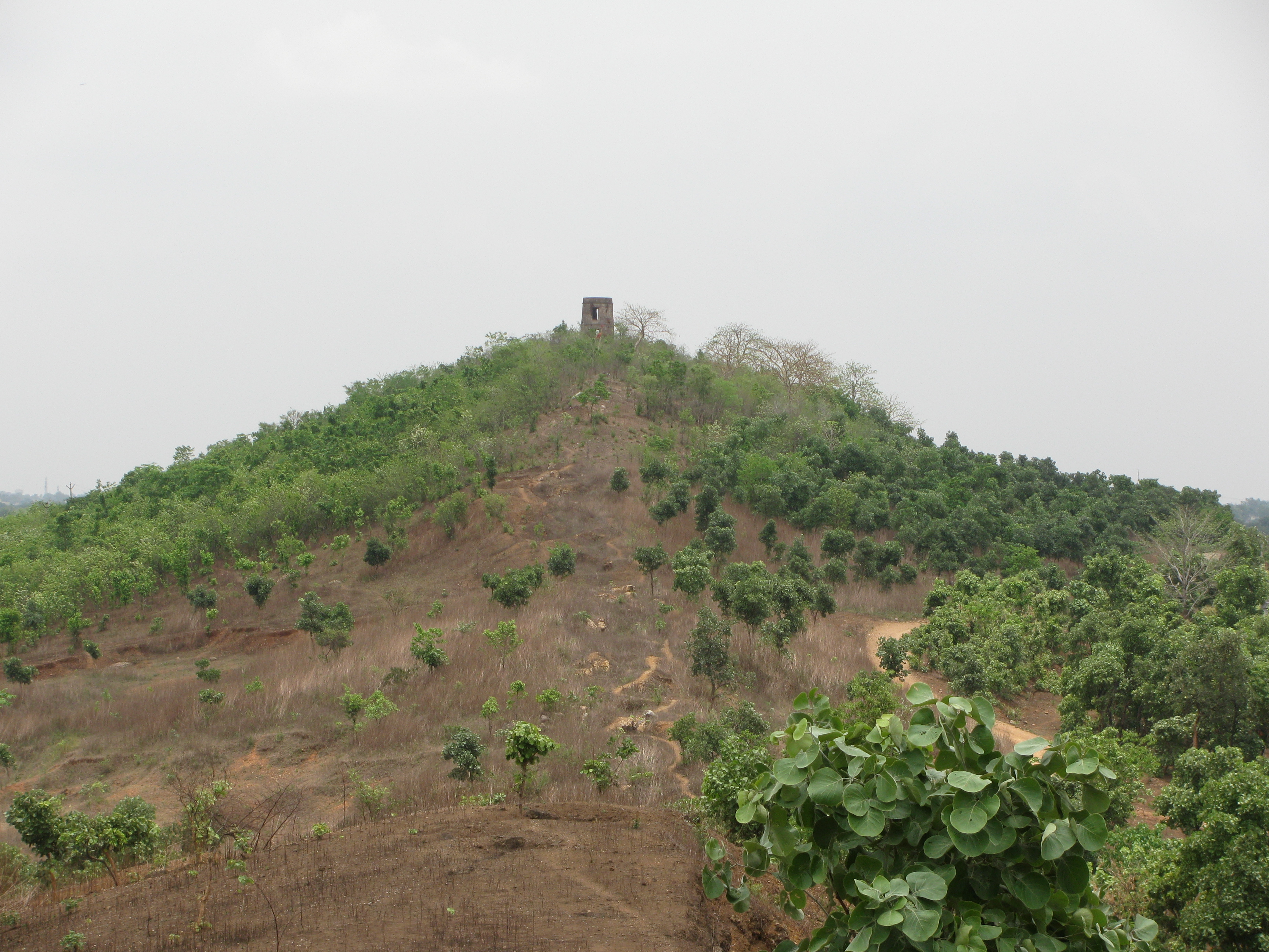
SATANPUR HILL,BOKARO

Tenughat Dam

Tenughat Dam

Tenughat Dam

Tenughat Dam
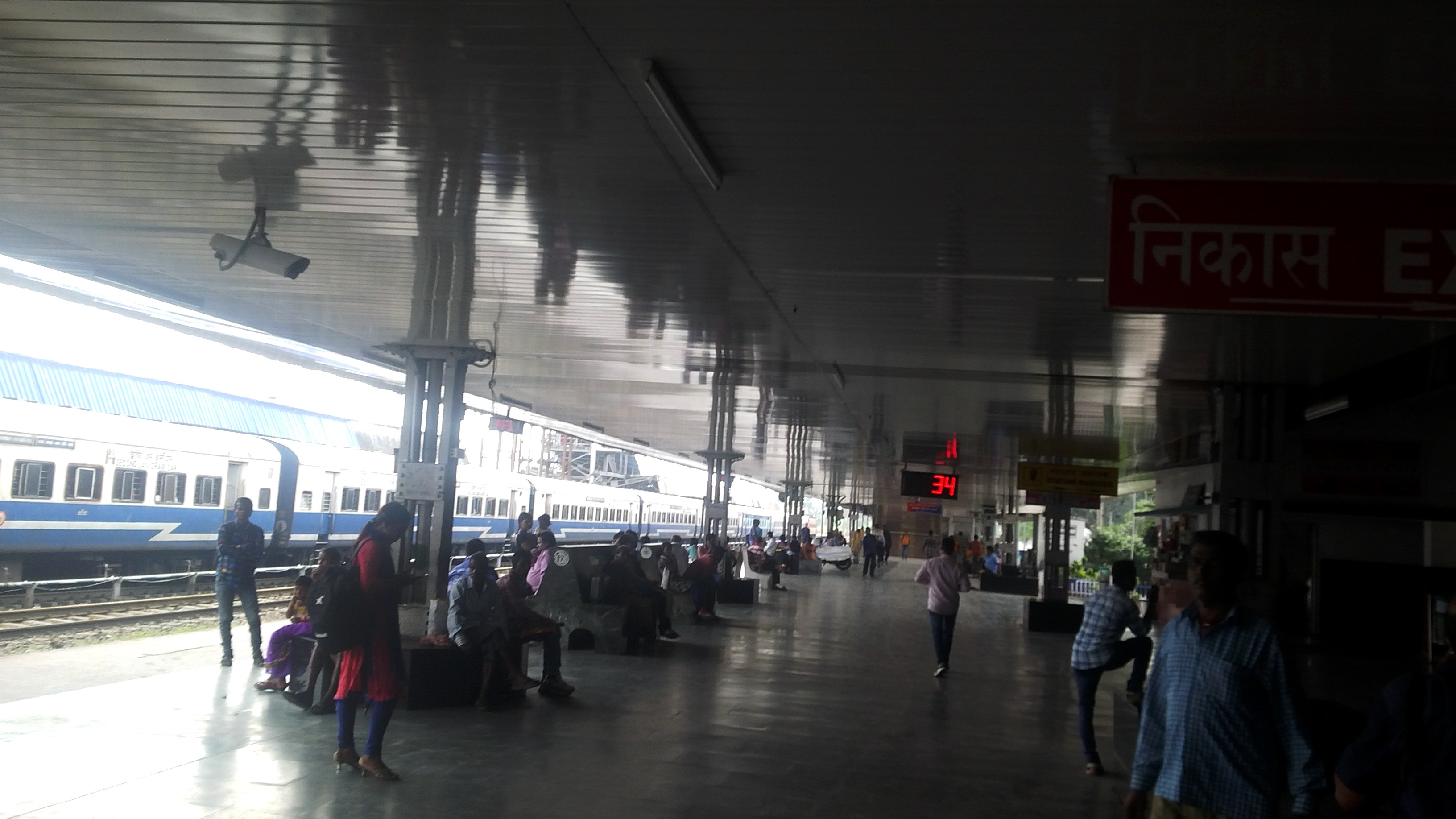
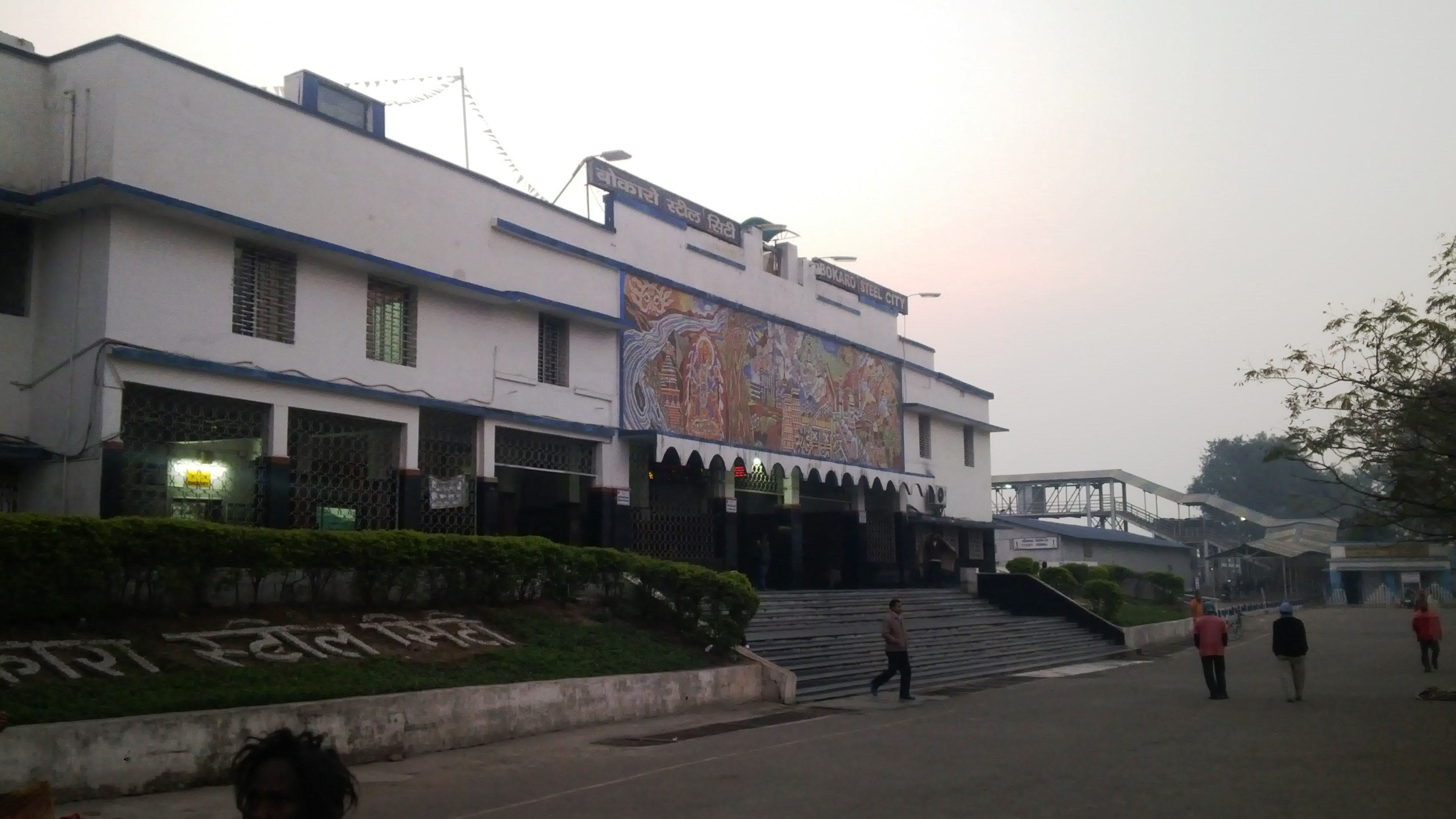
Bokaro Station
Bokaro Station
Bokaro Station

Pict captured on 10th Jan '16. At Bokaro Steel City Jn while traveling to ranchi frm patna
Bokaro Railway Station
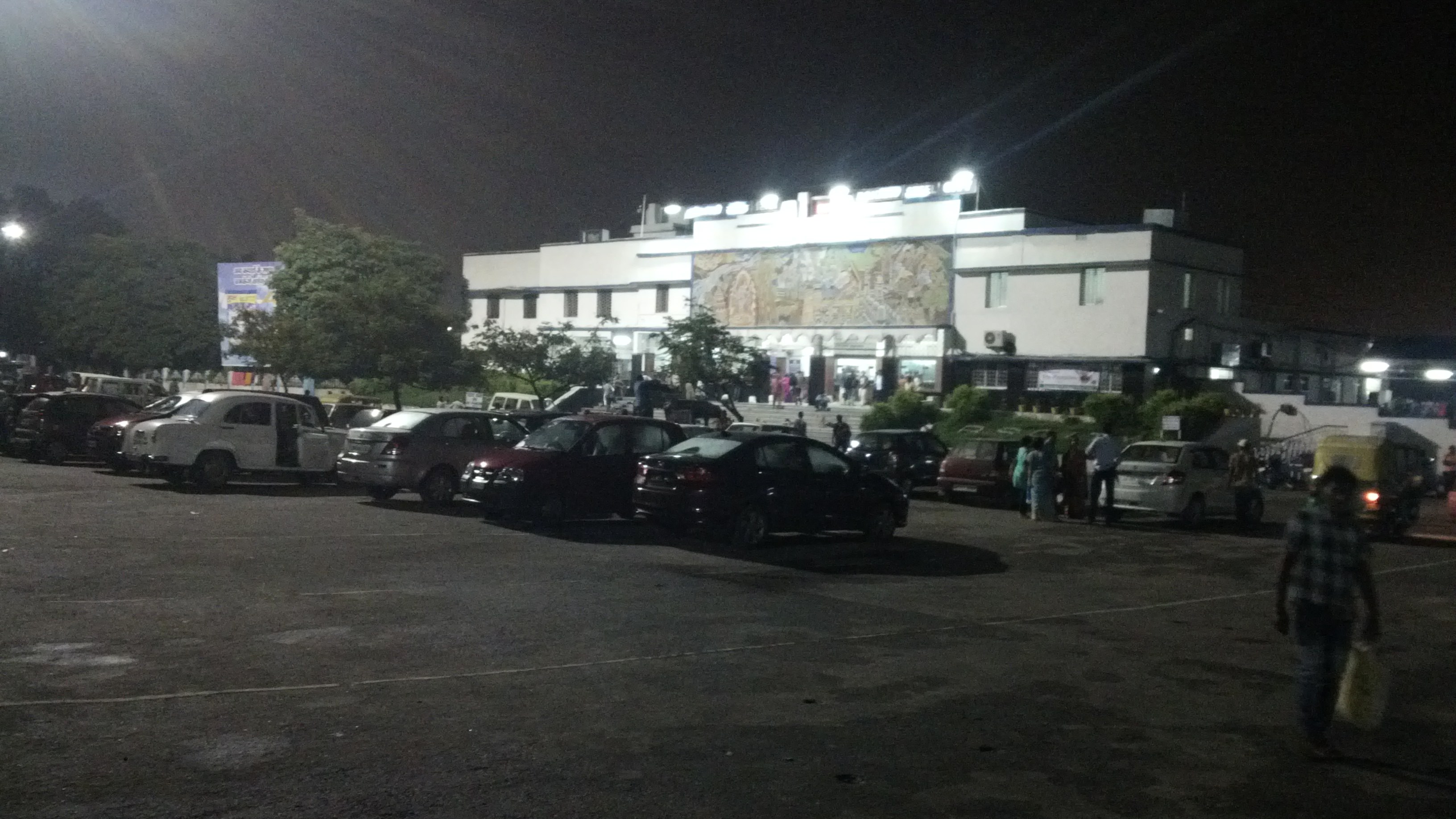
Bokaro Station
Bokaro 3
Bokaro 2

Tenughat Dam

Tenughat Dam

Tenughat Dam
Topographic Map of Bokaro, Jharkhand, India
Find elevation by address:

Places in Bokaro, Jharkhand, India:
Places near Bokaro, Jharkhand, India:
Peterbar
Petarwar Lake
Bokaro
Palamu
Bokaro Steel City
Dugda
Silli
Kharni
Jharkhand, India
Ajodhya
Dhanbad
Barria
Lower Dam
Purulia
Dhanbad
Jabarrah High School
Purulia
Raghunathpur
Gar Panchkot
Garh Panchokot Hills
Recent Searches:
- Elevation of Hickory St, Greenville, NC, USA
- Elevation of Poplar Ln, Guffey, CO, USA
- Elevation of Falling Spring Rd, Clyde, NC, USA
- Elevation of Kingsfield St, Castle Rock, CO, USA
- Elevation of AMELIA CT HSE, VA, USA
- Elevation of Abbey Dr, Virginia Beach, VA, USA
- Elevation of Brooks Lp, Spearfish, SD, USA
- Elevation of Panther Dr, Maggie Valley, NC, USA
- Elevation of Jais St - Wadi Shehah - Ras al Khaimah - United Arab Emirates
- Elevation of Shawnee Avenue, Shawnee Ave, Easton, PA, USA