Elevation of Barria, West Bengal, India
Location: India > West Bengal > Purulia >
Longitude: 86.0988253
Latitude: 23.1972396
Elevation: 491m / 1611feet
Barometric Pressure: 96KPa
Elevation Map:
Satellite Map:
Related Photos:

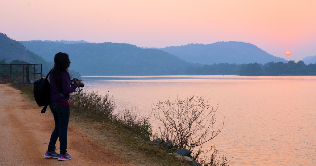
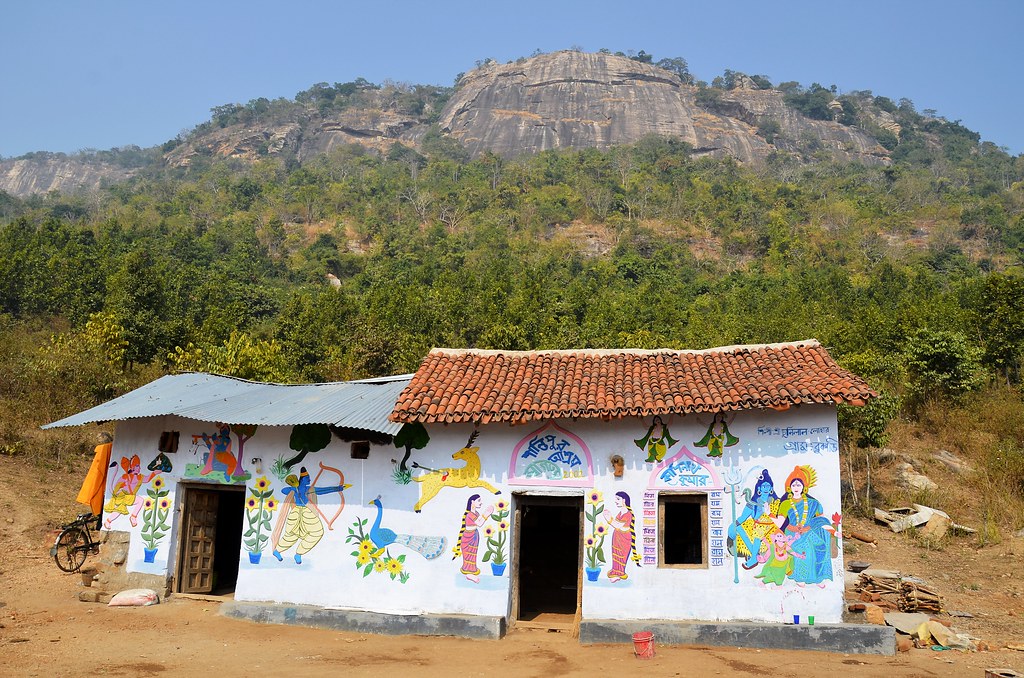
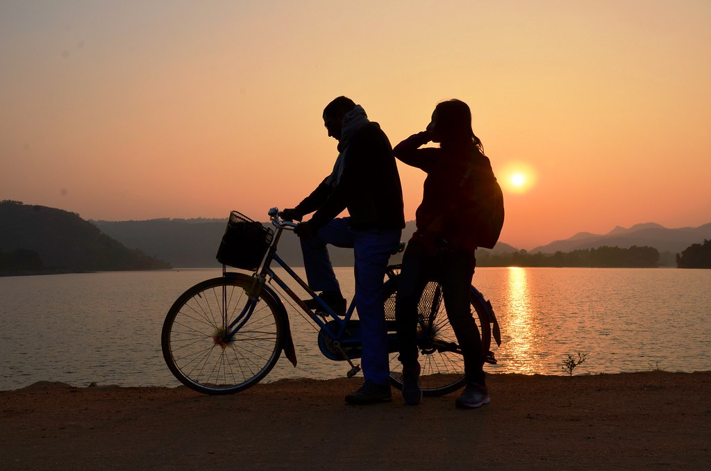
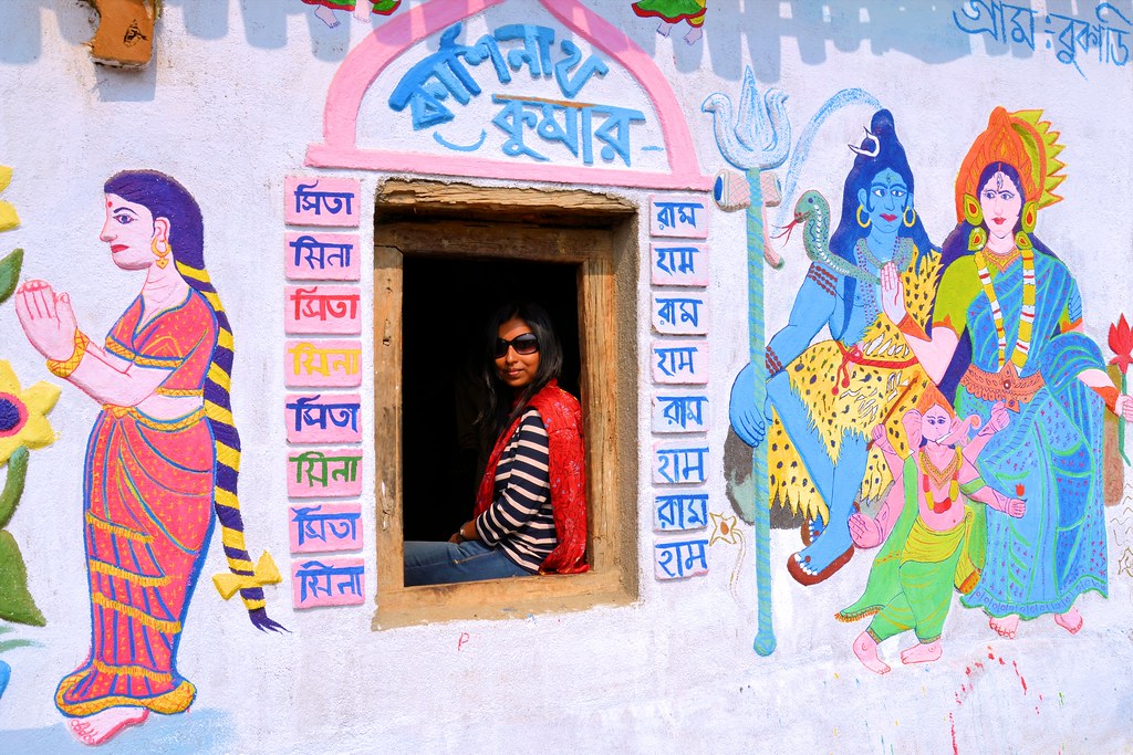
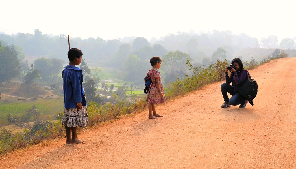
বৃষ্টির সঙ্গে পুরুলিয়ায়
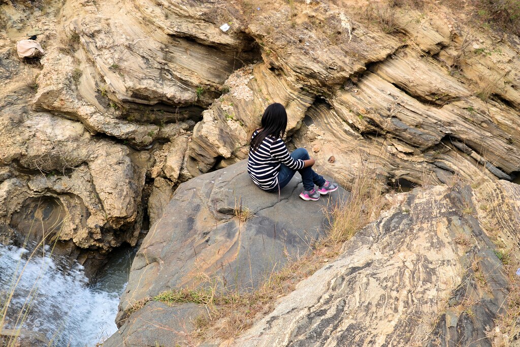
বৃষ্টির সঙ্গে পুরুলিয়ায়
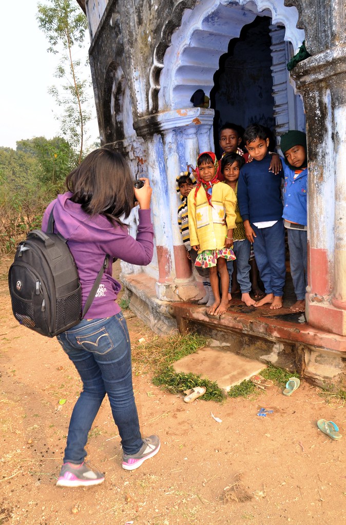
বৃষ্টির সঙ্গে পুরুলিয়ায়
বৃষ্টির সঙ্গে পুরুলিয়ায়
বৃষ্টির সঙ্গে পুরুলিয়ায়
বৃষ্টির সঙ্গে পুরুলিয়ায়
বৃষ্টির সঙ্গে পুরুলিয়ায়
বৃষ্টির সঙ্গে পুরুলিয়ায়
Beyond the road...
Beauty of Purulia...
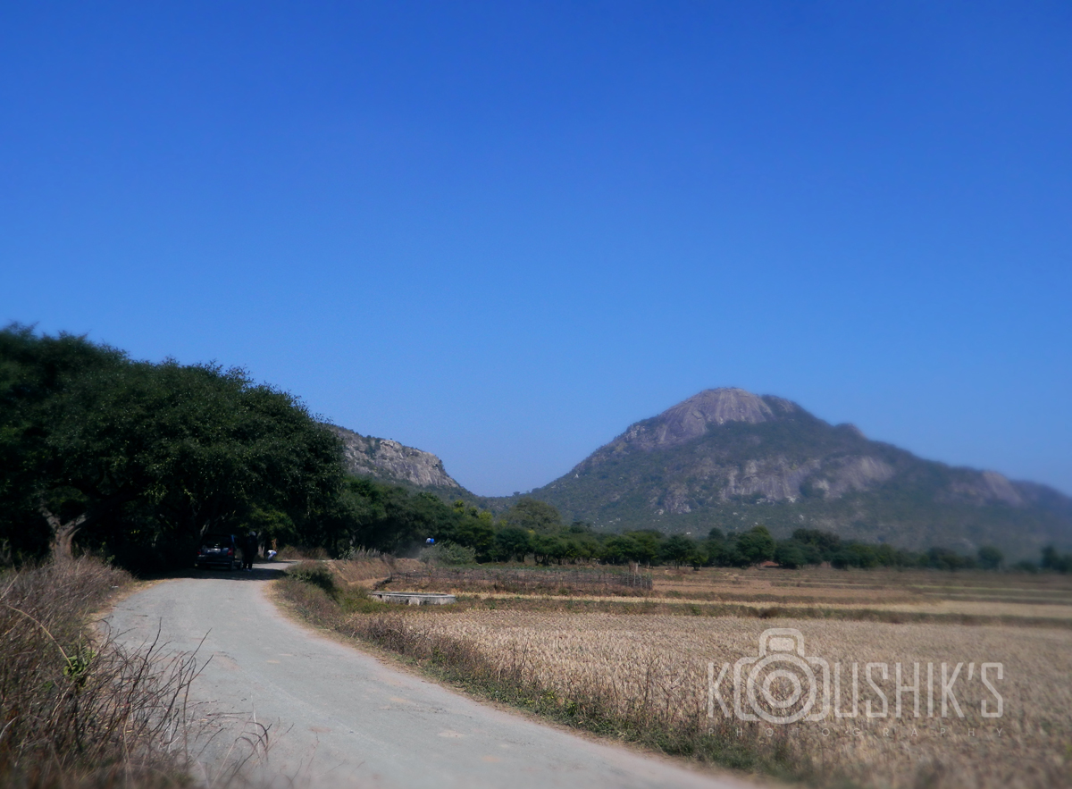
Landscape from Ajodhya Hills
Topographic Map of Barria, West Bengal, India
Find elevation by address:

Places in Barria, West Bengal, India:
Places near Barria, West Bengal, India:
Lower Dam
Ajodhya
Purulia
Silli
Mango
Purulia
Jamshedpur
Birsanagar
Sidhu Kanhu Maidan
Birsanagar Zone No.2
Jabarrah High School
Bokaro Steel City
Petarwar Lake
Bokaro
Peterbar
Dugda
Duarsini Forest
Bokaro
Palamu
Raghunathpur
Recent Searches:
- Elevation of Rojo Ct, Atascadero, CA, USA
- Elevation of Flagstaff Drive, Flagstaff Dr, North Carolina, USA
- Elevation of Avery Ln, Lakeland, FL, USA
- Elevation of Woolwine, VA, USA
- Elevation of Lumagwas Diversified Farmers Multi-Purpose Cooperative, Lumagwas, Adtuyon, RV32+MH7, Pangantucan, Bukidnon, Philippines
- Elevation of Homestead Ridge, New Braunfels, TX, USA
- Elevation of Orchard Road, Orchard Rd, Marlborough, NY, USA
- Elevation of 12 Hutchinson Woods Dr, Fletcher, NC, USA
- Elevation of Holloway Ave, San Francisco, CA, USA
- Elevation of Norfolk, NY, USA