Elevation of Gar Panchkot, West Bengal, India
Location: India > West Bengal > Purulia >
Longitude: 86.7667756
Latitude: 23.6166997
Elevation: 371m / 1217feet
Barometric Pressure: 97KPa
Elevation Map:
Satellite Map:
Related Photos:

Loyabad

Kulti
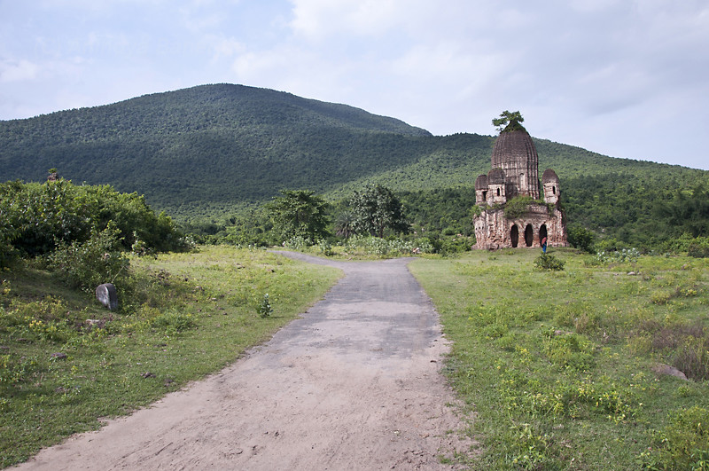
Garpanchokot Ruins in front of Panchokot Hill
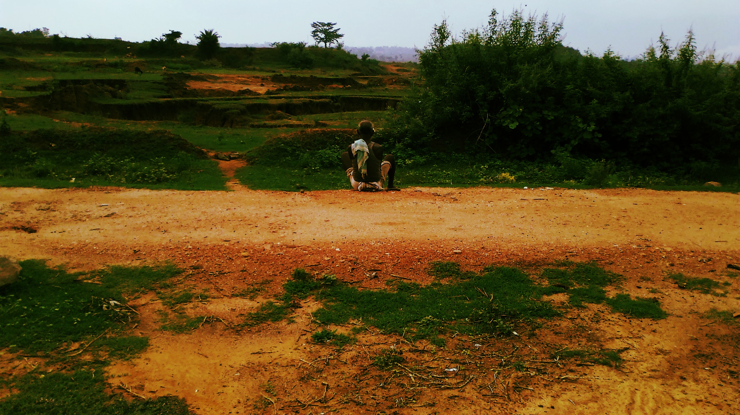
Thoughts i camera

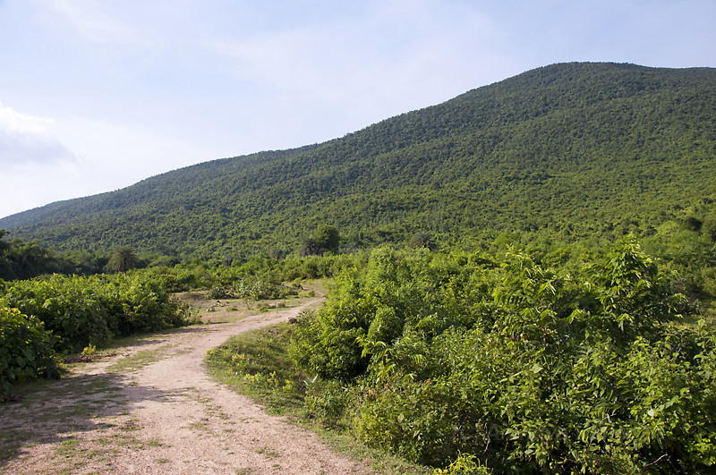
Way to Baranti Hill
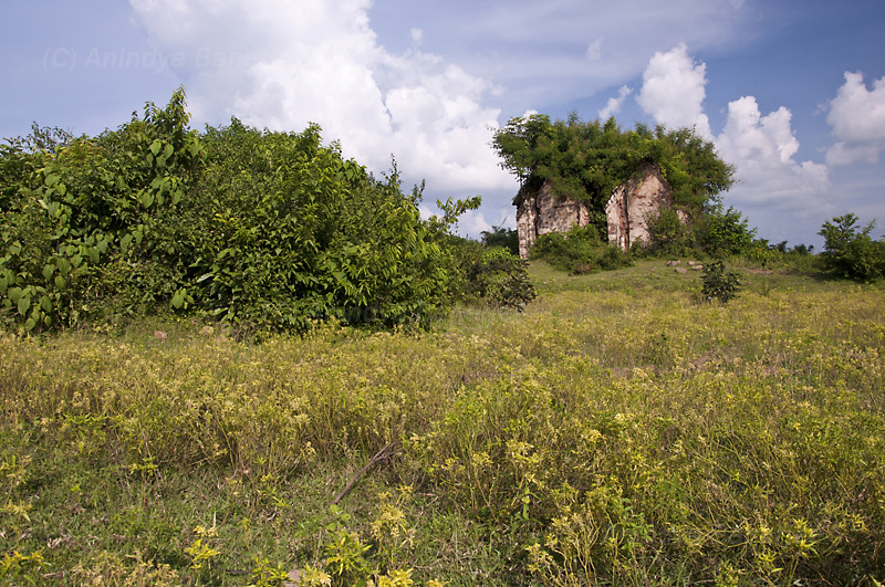
Ruins at Panchokot

Muradi Dam

Muradi Dam

Way to Baranti Hill

Muradi Dam

Muradi Dam

Muradi Dam
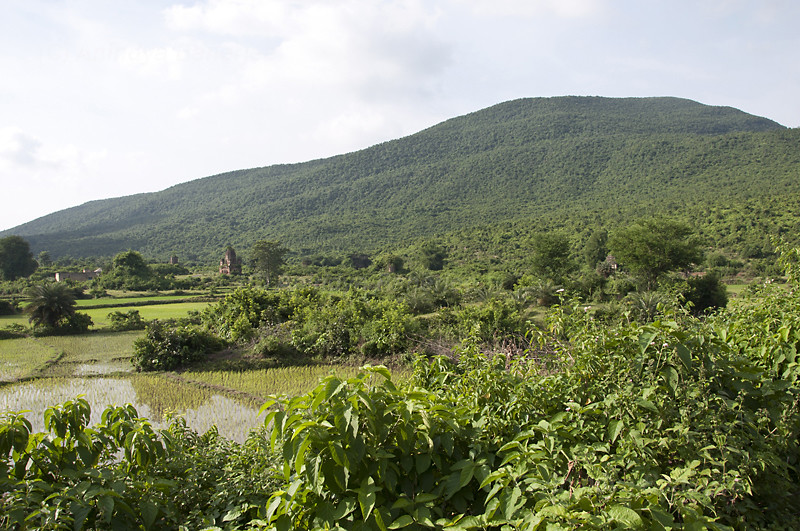
Panchokot Hill, Purulia
Panchokot Hill
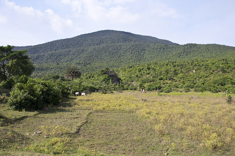
Panchokot Hill back drop
Topographic Map of Gar Panchkot, West Bengal, India
Find elevation by address:

Places near Gar Panchkot, West Bengal, India:
Garh Panchokot Hills
Raghunathpur
Kulti
Biharinath Hill
Gopalpur
Asansol
Dhanbad
Jabarrah High School
Chhatna
Dhanbad
Purulia
Taragati Samanta Road
Kenduadihi
Purulia
Bankura
Debedia Durga Temple
Jharkhand, India
Kharni
Bankura
Bokaro Steel City
Recent Searches:
- Elevation of W Granada St, Tampa, FL, USA
- Elevation of Pykes Down, Ivybridge PL21 0BY, UK
- Elevation of Jalan Senandin, Lutong, Miri, Sarawak, Malaysia
- Elevation of Bilohirs'k
- Elevation of 30 Oak Lawn Dr, Barkhamsted, CT, USA
- Elevation of Luther Road, Luther Rd, Auburn, CA, USA
- Elevation of Unnamed Road, Respublika Severnaya Osetiya — Alaniya, Russia
- Elevation of Verkhny Fiagdon, North Ossetia–Alania Republic, Russia
- Elevation of F. Viola Hiway, San Rafael, Bulacan, Philippines
- Elevation of Herbage Dr, Gulfport, MS, USA