Elevation of Purulia, West Bengal, India
Location: India > West Bengal > Purulia >
Longitude: 86.365208
Latitude: 23.3320779
Elevation: 256m / 840feet
Barometric Pressure: 98KPa
Elevation Map:
Satellite Map:
Related Photos:
This wild #plant sticks to ur socks jeans pant tracks but never stops us to play in the wild reminds me of #OldDays wen we used to sit and rest after the stressful game and removed every single of the sharpe leafs/ thrones from our cloths..... #friends #c
Memory lane

.

বৃষ্টির সঙ্গে পুরুলিয়ায়

rat jaga tara

Bronze-winged jacana

Black-hooded oriole

little green bee-eater

Hey Bhagwan .... InSide train near Purulia
Bond...
Palash Bon
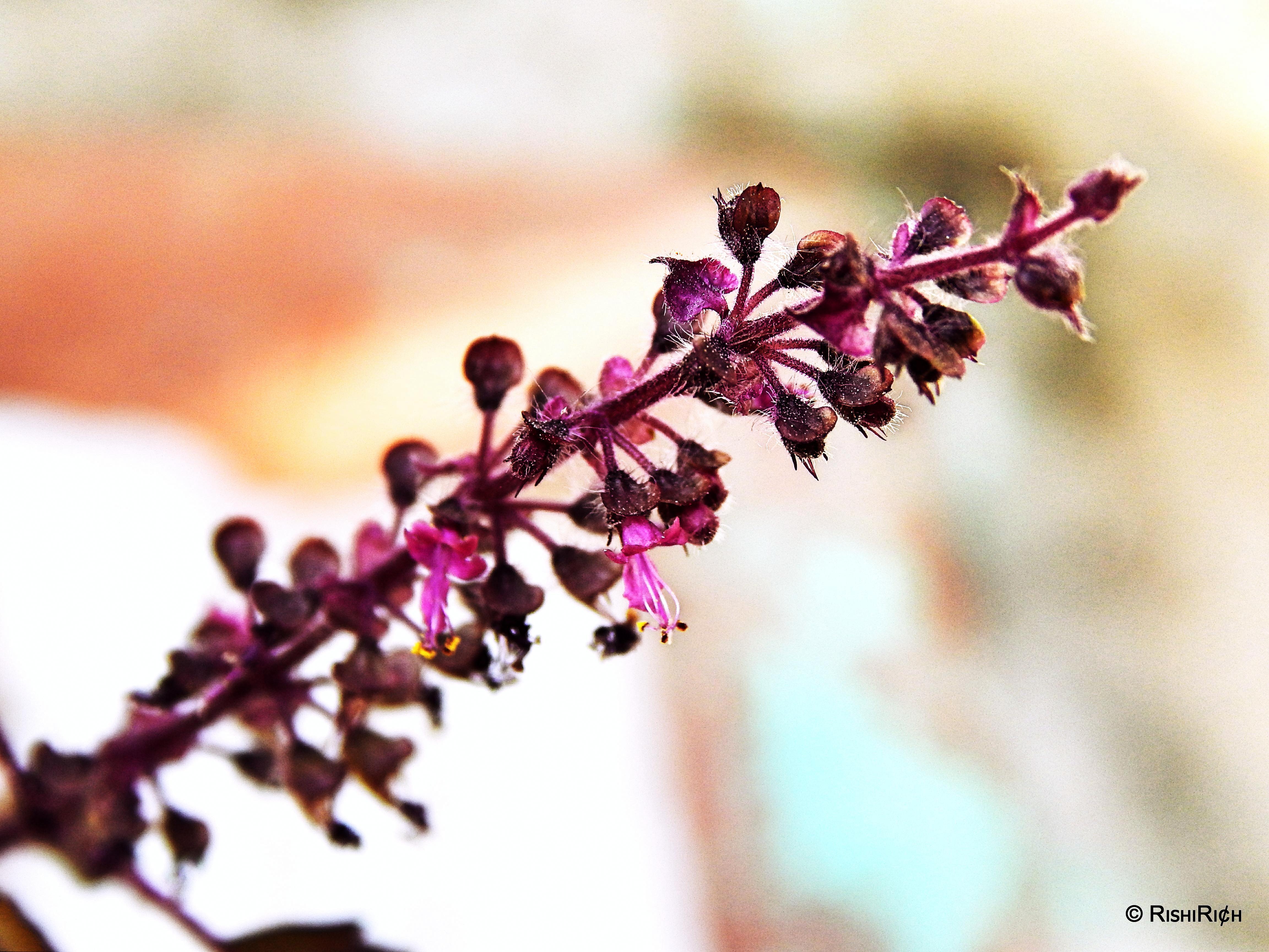
Tulsi Plant

Prabir SAMANTA at Purulia

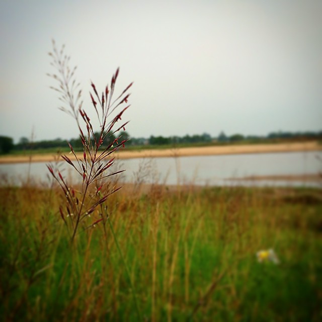
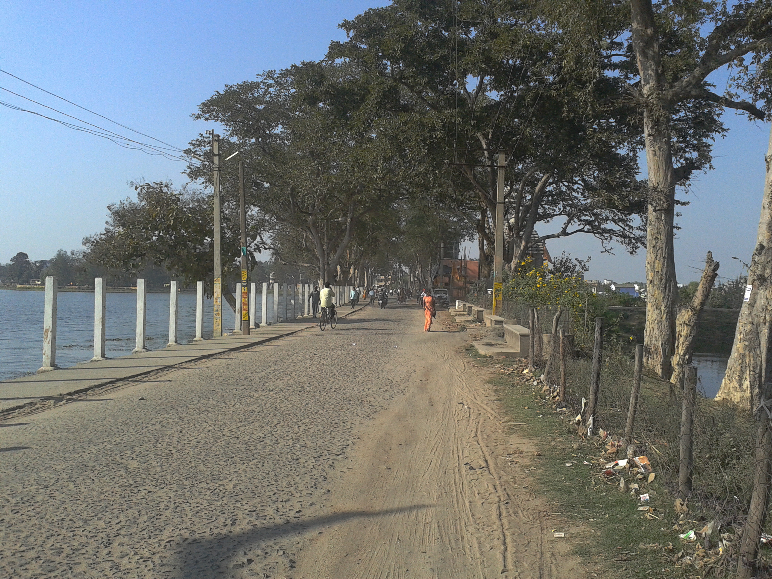
The stroll one needs to take once in a while #water #riverfront #puma #photography #walk #nature

The sky looked dramatic. Hovering over us like a big dark umbrella which could burst into heavy droplets of water. #purulia #west_bengal #cloudporn #cloud #photography #instagood #natgeo #lp
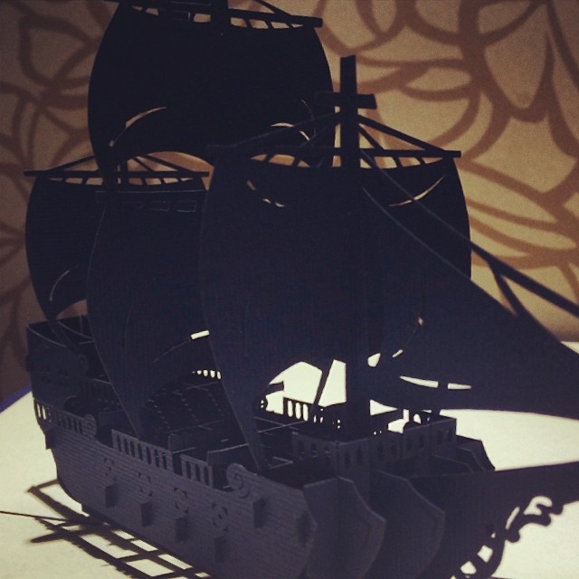
Hand made paper #art #bangkok #shopping photo via #procamapp #instagram #pirates

swapan kumar

ek jhak iche dana,jader aj udte mana
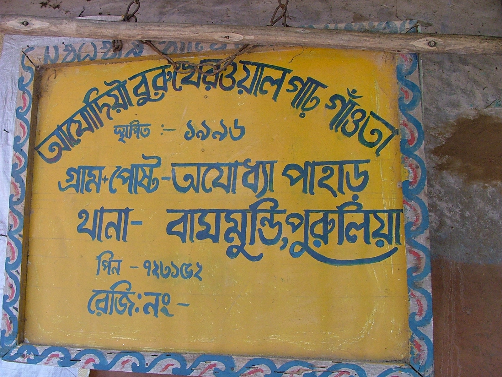
Sign board
Topographic Map of Purulia, West Bengal, India
Find elevation by address:

Places near Purulia, West Bengal, India:
Purulia
Jabarrah High School
Ajodhya
Barria
Lower Dam
Raghunathpur
Bokaro Steel City
Dugda
Dhanbad
Gar Panchkot
Garh Panchokot Hills
Dhanbad
Mango
Bokaro
Jharkhand, India
Kharni
Debedia Durga Temple
Silli
Jamshedpur
Birsanagar
Recent Searches:
- Elevation of E Brightview Ave, Pittsburgh, PA, USA
- Elevation of Cavendish Rd, Harringay Ladder, London N4 1RR, UK
- Elevation of 1 Zion Park Blvd, Springdale, UT, USA
- Elevation of Ganderbal
- Elevation map of Konkan Division, Maharashtra, India
- Elevation of Netaji Nagar, Hallow Pul, Kurla, Mumbai, Maharashtra, India
- Elevation of Uralsk, Kazakhstan
- Elevation of 45- Kahana Dr, Honokaa, HI, USA
- Elevation of New Mexico 30, NM-30, Española, NM, USA
- Elevation of Santmyer Way, Charles Town, WV, USA