Elevation of Lower Dam, Ajodhya Hills Rd, Barria, West Bengal, India
Location: India > West Bengal > Purulia > Barria >
Longitude: 86.0873652
Latitude: 23.1928744
Elevation: 287m / 942feet
Barometric Pressure: 98KPa
Elevation Map:
Satellite Map:
Related Photos:

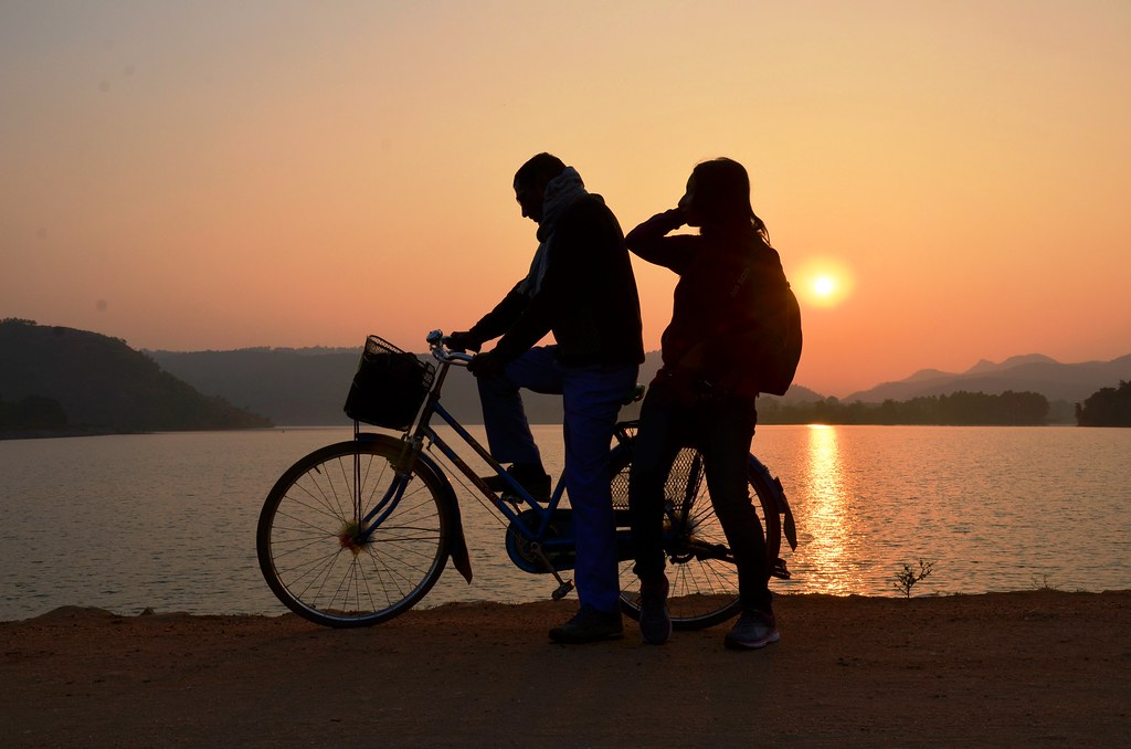
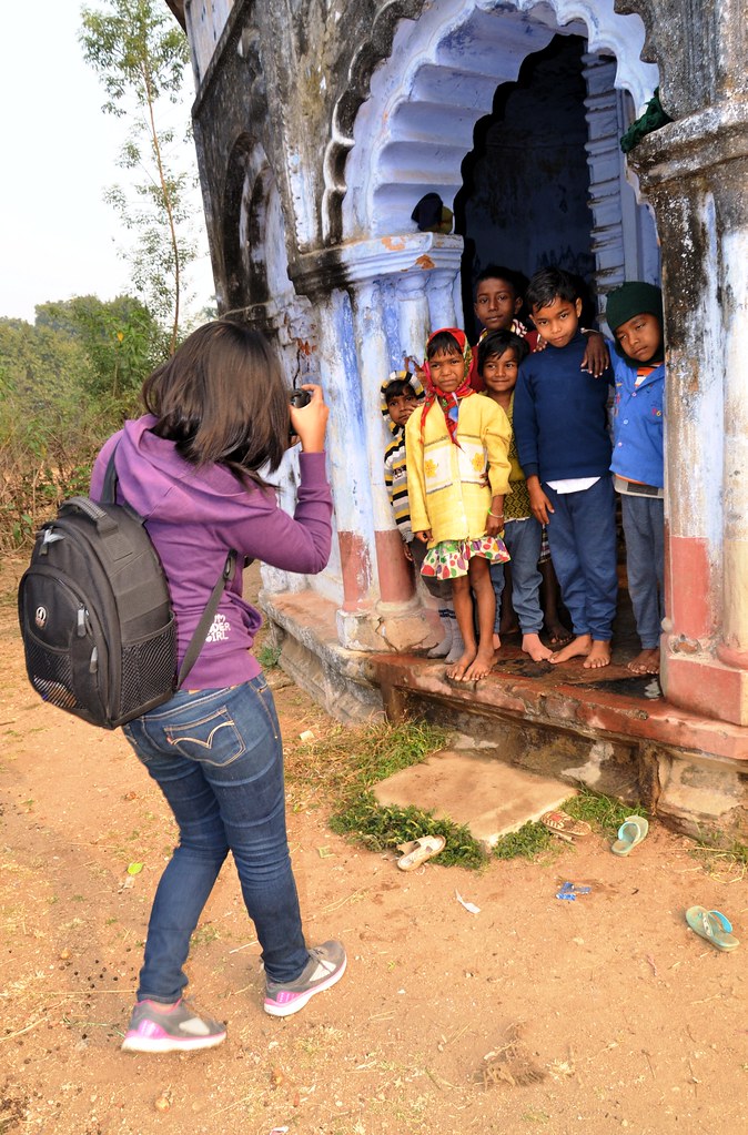
বৃষ্টির সঙ্গে পুরুলিয়ায়
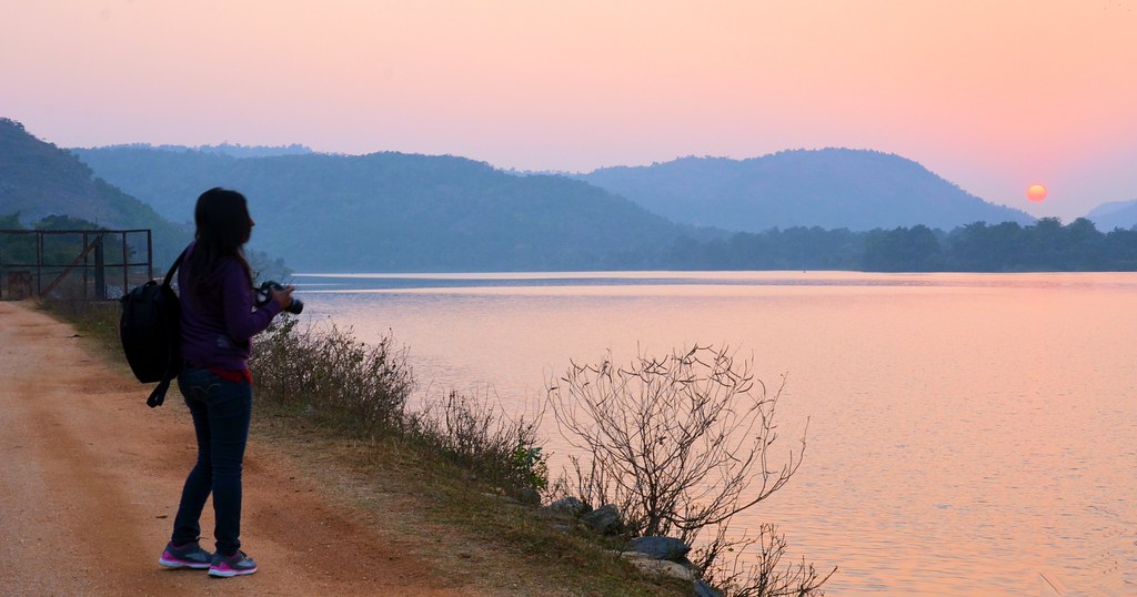
বৃষ্টির সঙ্গে পুরুলিয়ায়
বৃষ্টির সঙ্গে পুরুলিয়ায়
বৃষ্টির সঙ্গে পুরুলিয়ায়
বৃষ্টির সঙ্গে পুরুলিয়ায়
বৃষ্টির সঙ্গে পুরুলিয়ায়
বৃষ্টির সঙ্গে পুরুলিয়ায়
বৃষ্টির সঙ্গে পুরুলিয়ায়
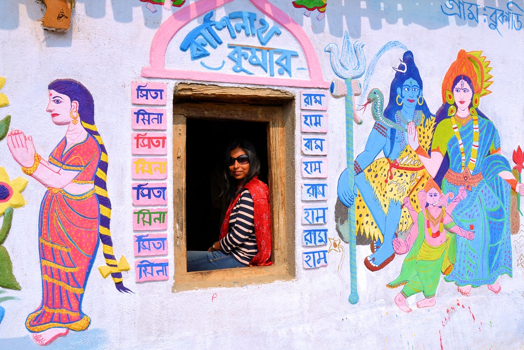
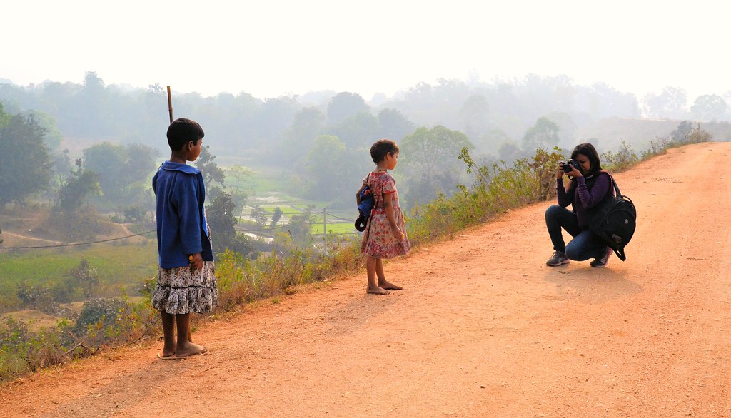
Beyond the road...
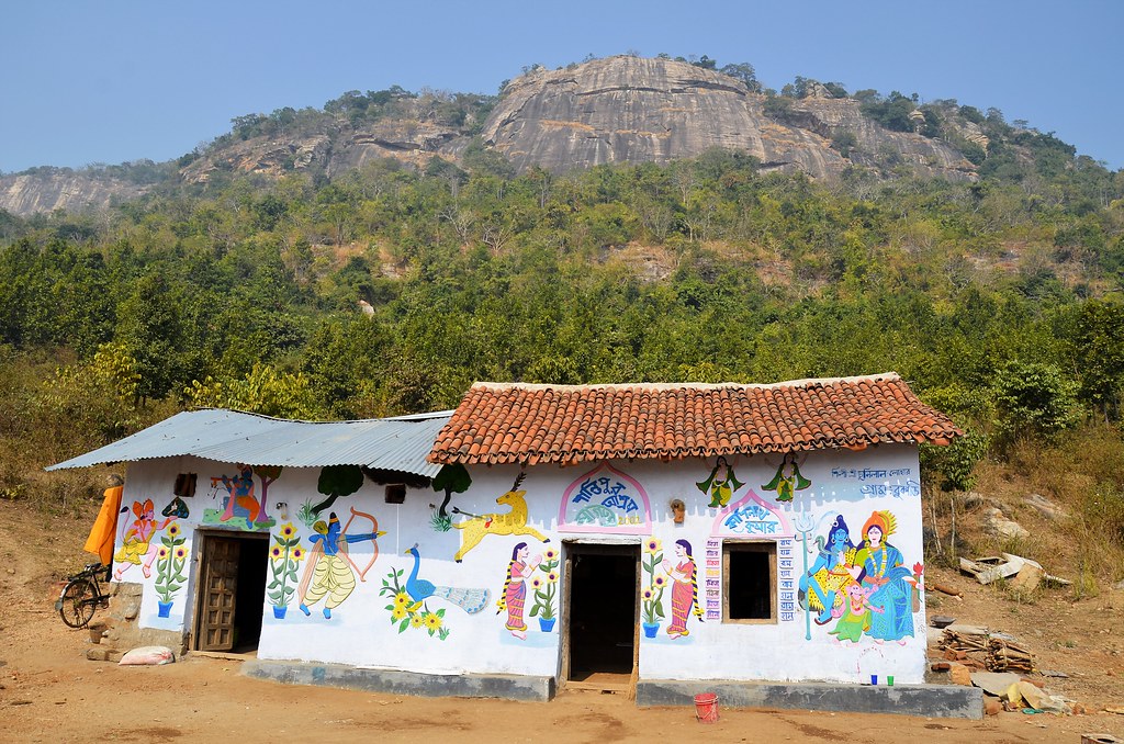
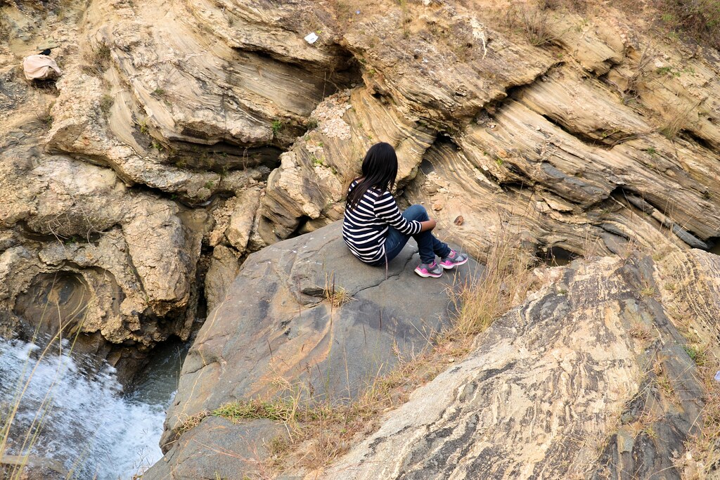
Beauty of Purulia...
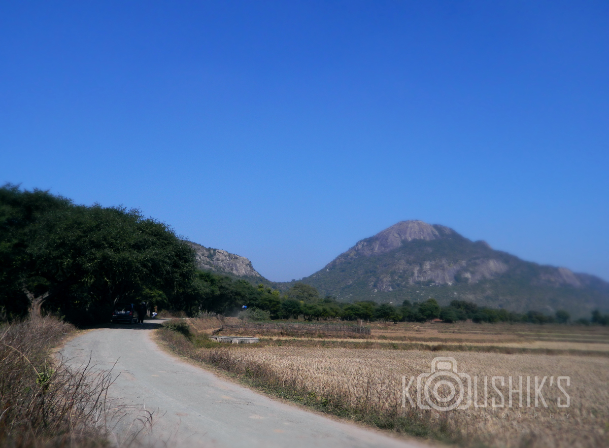
Landscape from Ajodhya Hills
Topographic Map of Lower Dam, Ajodhya Hills Rd, Barria, West Bengal, India
Find elevation by address:

Places near Lower Dam, Ajodhya Hills Rd, Barria, West Bengal, India:
Barria
Ajodhya
Silli
Purulia
Mango
Jamshedpur
Purulia
Birsanagar
Sidhu Kanhu Maidan
Birsanagar Zone No.2
Jabarrah High School
Petarwar Lake
Bokaro Steel City
Peterbar
Bokaro
Dugda
Duarsini Forest
Bokaro
Palamu
Raghunathpur
Recent Searches:
- Elevation of Unnamed Road, Respublika Severnaya Osetiya — Alaniya, Russia
- Elevation of Verkhny Fiagdon, North Ossetia–Alania Republic, Russia
- Elevation of F. Viola Hiway, San Rafael, Bulacan, Philippines
- Elevation of Herbage Dr, Gulfport, MS, USA
- Elevation of Lilac Cir, Haldimand, ON N3W 2G9, Canada
- Elevation of Harrod Branch Road, Harrod Branch Rd, Kentucky, USA
- Elevation of Wyndham Grand Barbados Sam Lords Castle All Inclusive Resort, End of Belair Road, Long Bay, Bridgetown Barbados
- Elevation of Iga Trl, Maggie Valley, NC, USA
- Elevation of N Co Rd 31D, Loveland, CO, USA
- Elevation of Lindever Ln, Palmetto, FL, USA