Elevation of Beulah Rd, Dawson Springs, KY, USA
Location: United States > Kentucky > Nebo >
Longitude: -87.680297
Latitude: 37.2721166
Elevation: 148m / 486feet
Barometric Pressure: 100KPa
Elevation Map:
Satellite Map:
Related Photos:
Cathrin 1 of 2

CSX W103, Manitou,KY 12/17/2013

Princeton, KY Barn

The Rebel - Earlington, Kentucky
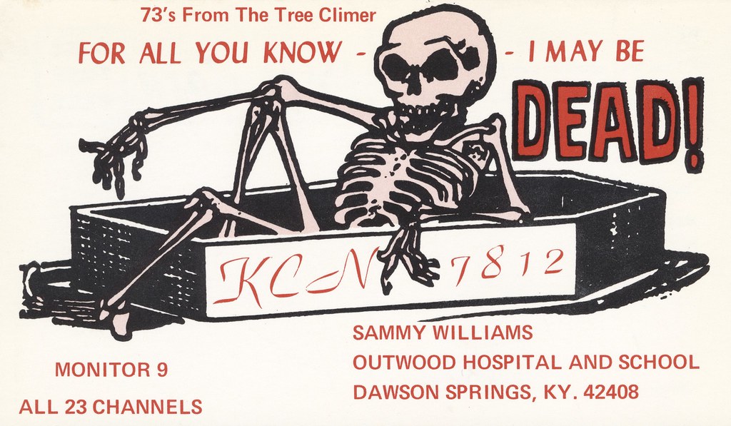
The Tree Climer - Dawson Springs, Kentucky
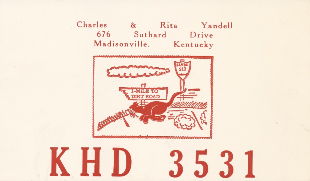
Charles & Rita Yandell - Madisonville, Kentucky

P&L #4504

P&L #2115

This Old House
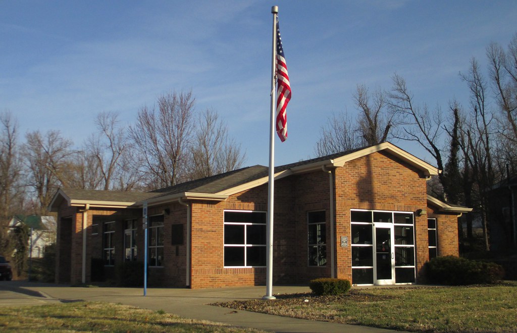
Post Office 42410 (Earlington, Kentucky)

CSX Train T519

P&L Train PNX1

P&L Train WW1
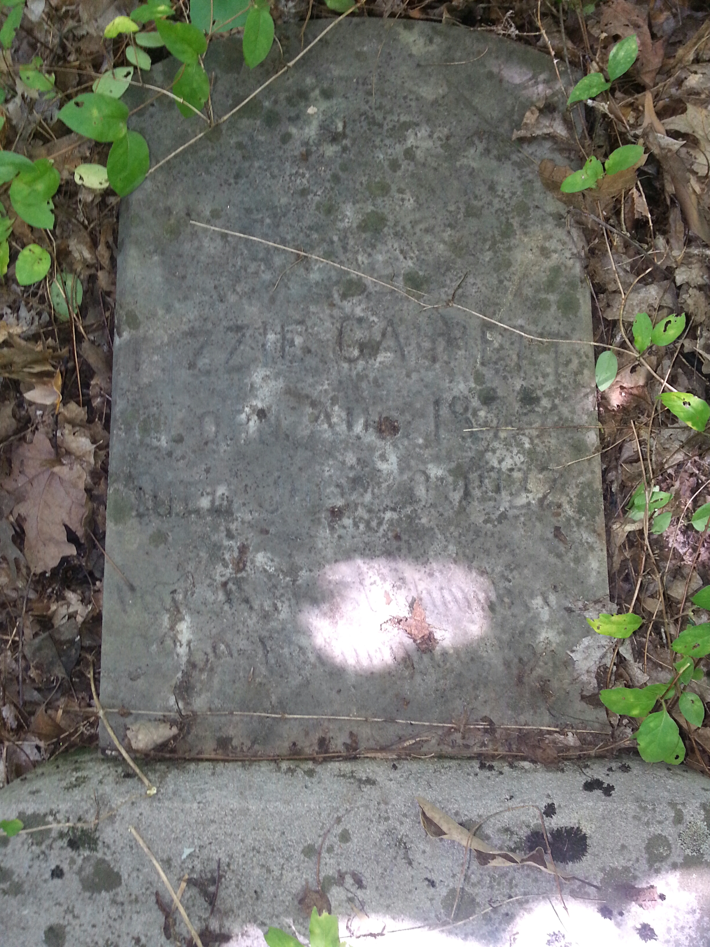
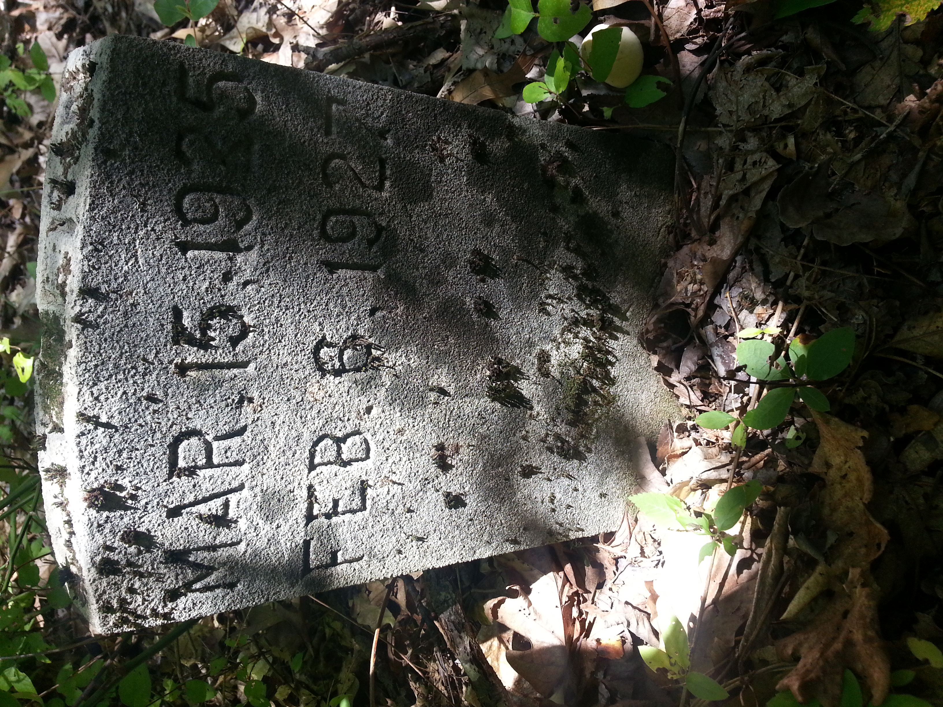
Lizzie Gant
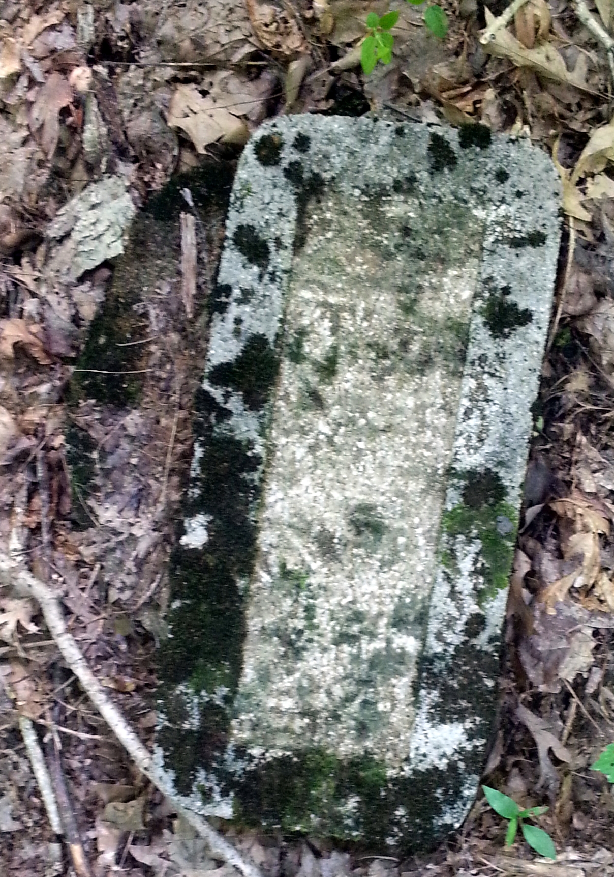
Couldnt make heads or tails of this one.
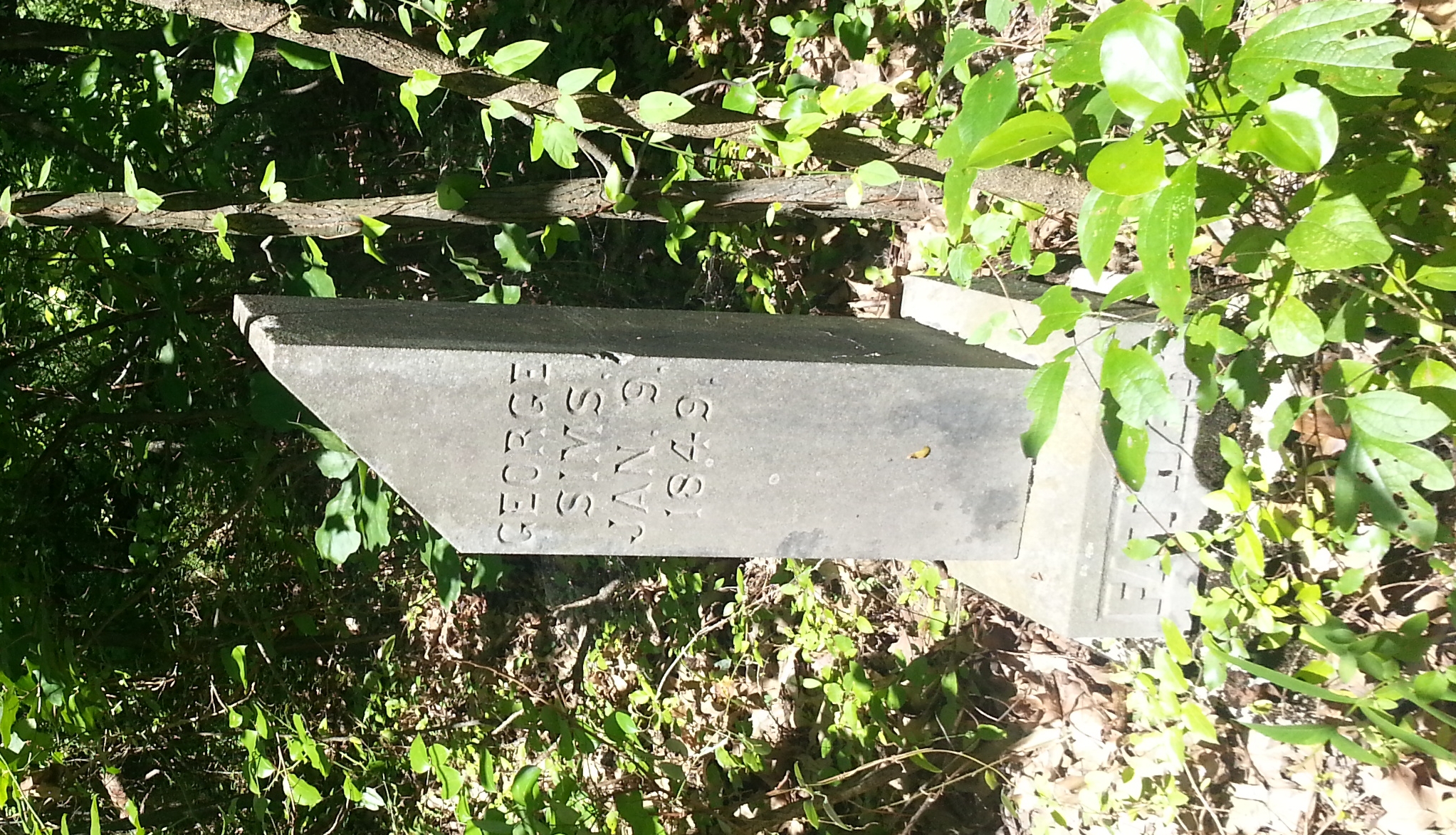
George Simms
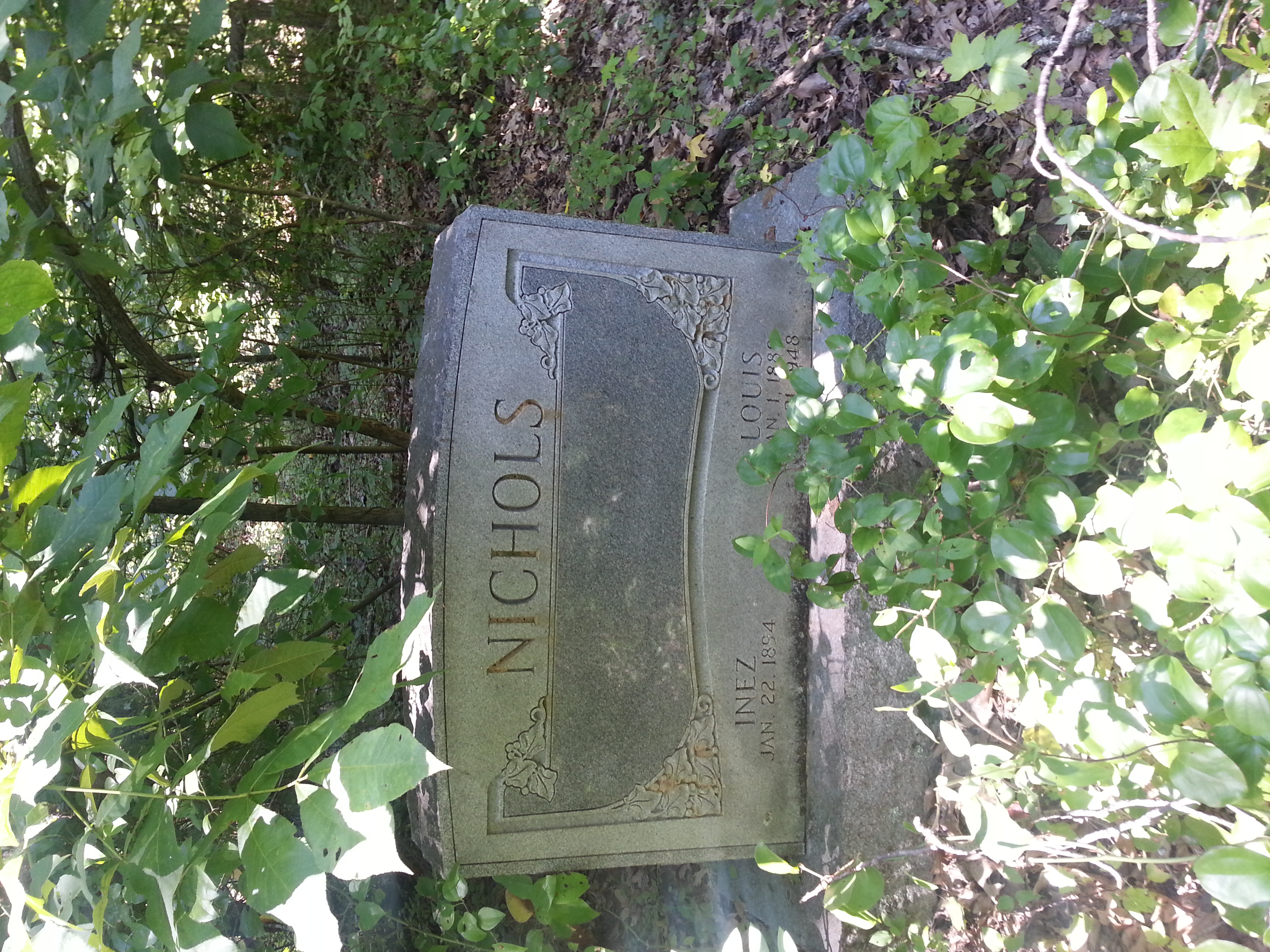
Louis Nichols
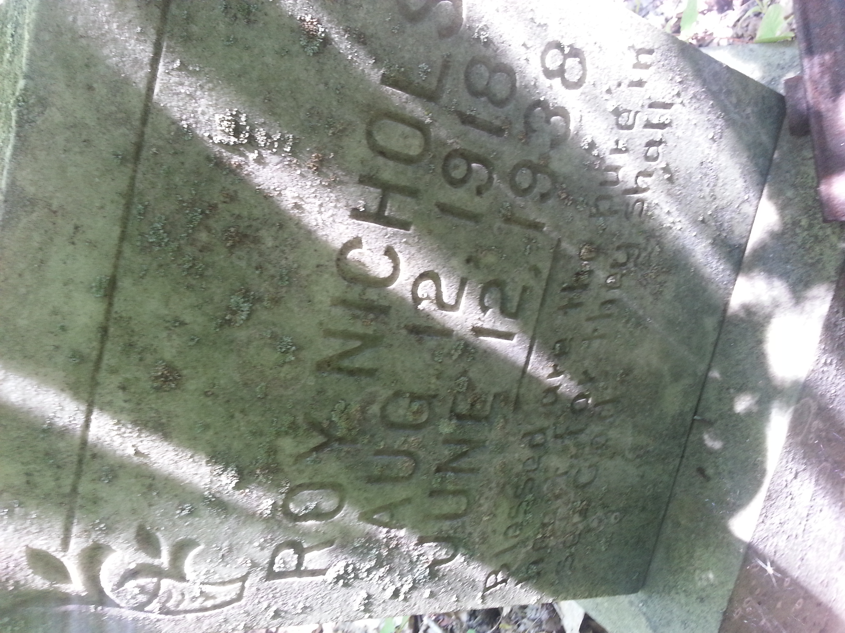
Roy Nichols
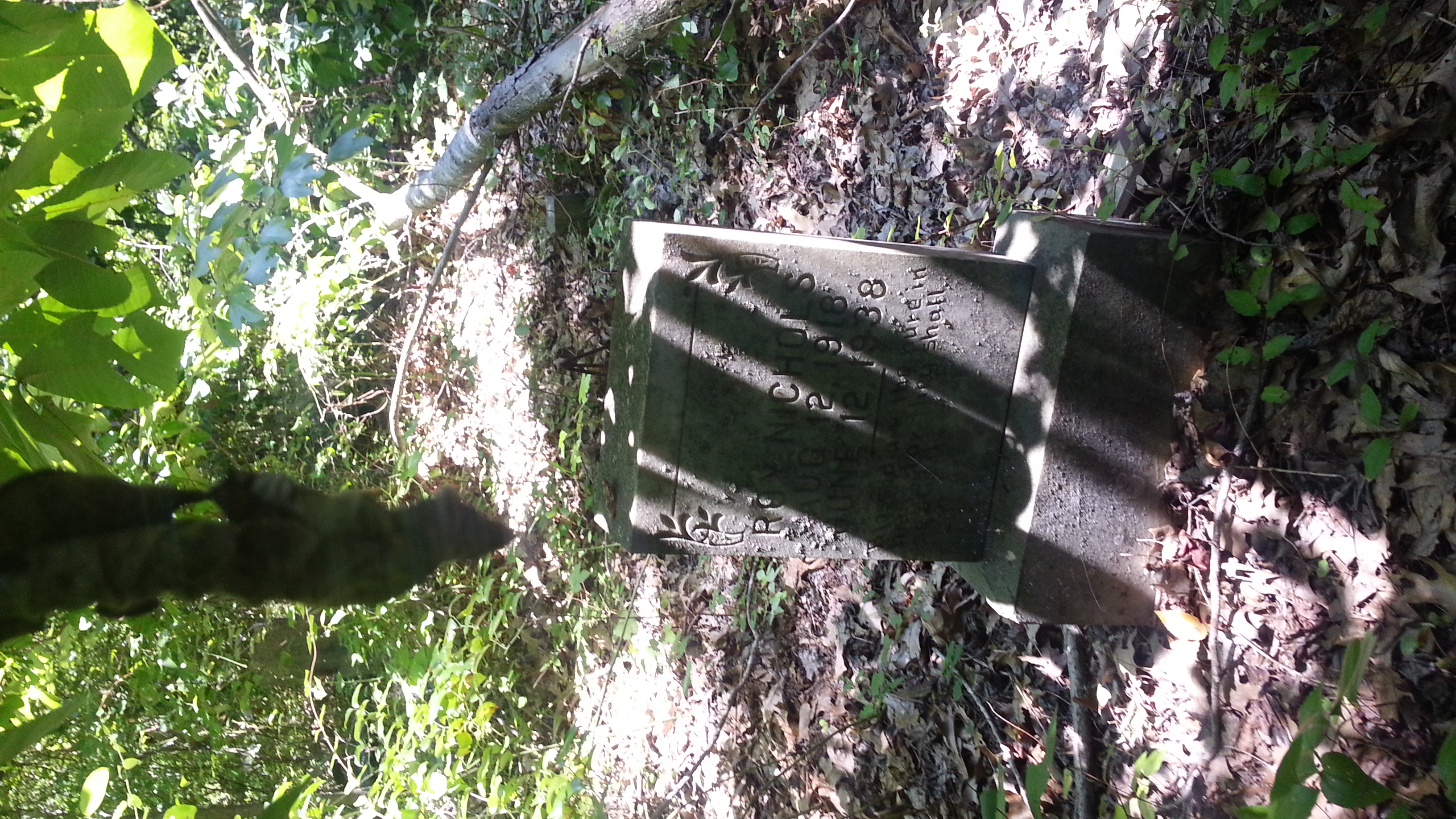
Roy Nichols 2 of 2
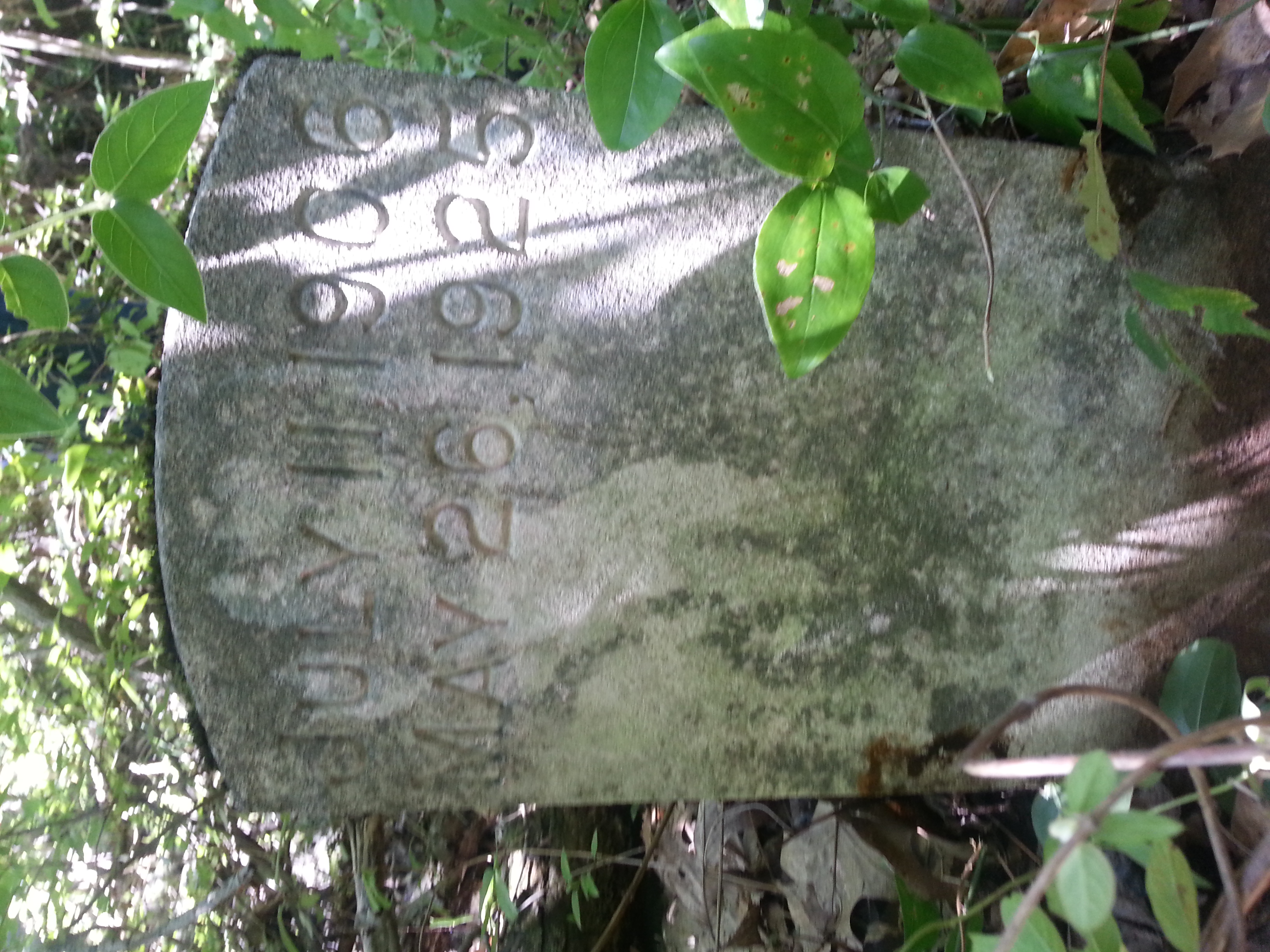
Louise 2 of 2
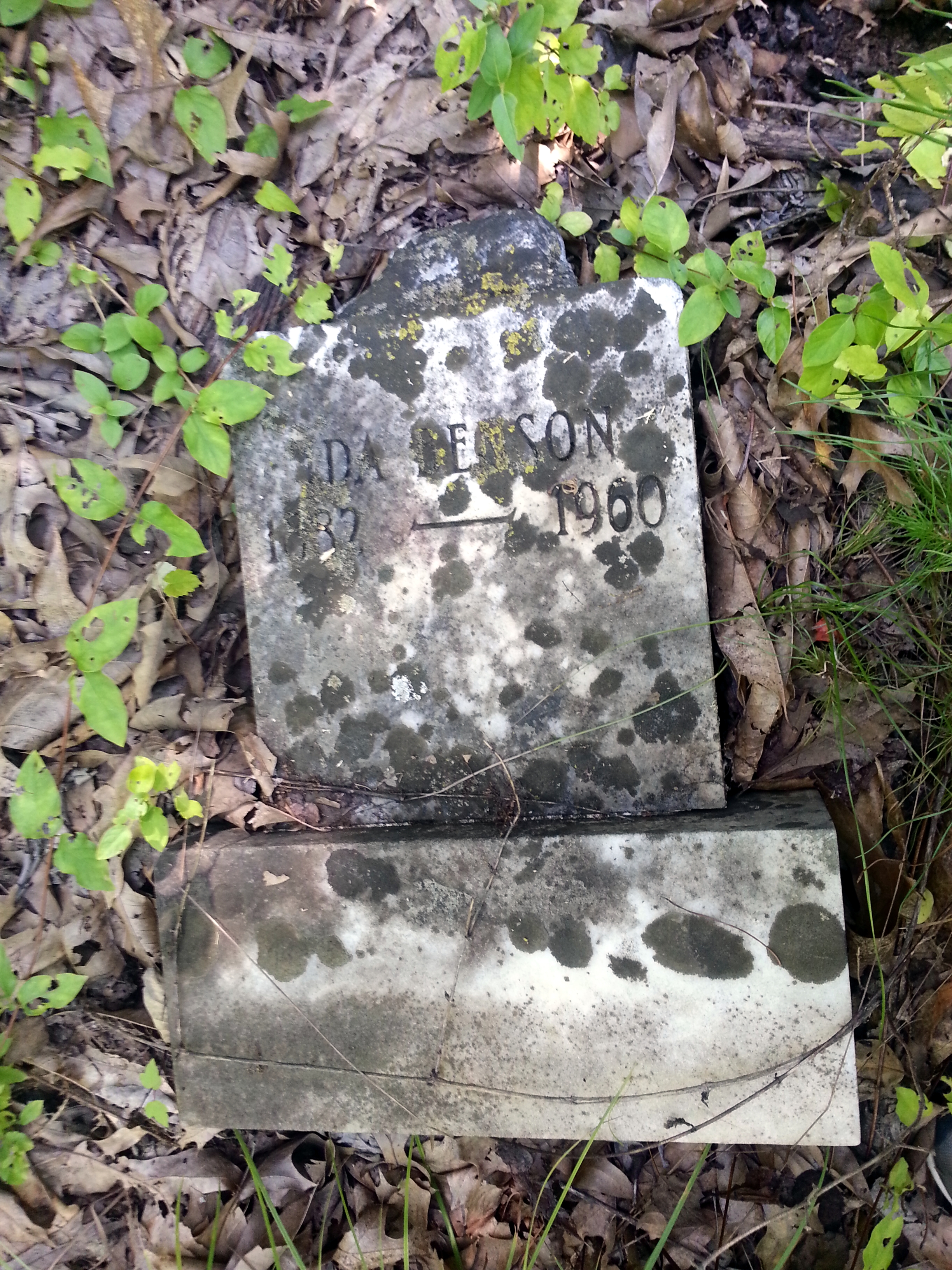
Ida Benson
Topographic Map of Beulah Rd, Dawson Springs, KY, USA
Find elevation by address:

Places near Beulah Rd, Dawson Springs, KY, USA:
Charleston Rd, Dawson Springs, KY, USA
Daylight Road
2502 Olney Rd
East Walnut Street
608 E Walnut St
Dawson Springs
212 S Trim St
6300 Olney Rd
Hopkins County
Park Avenue
Meadows Hill Drive
Nortonville Rd, Dawson Springs, KY, USA
Nebo
KY-, Dawson Springs, KY, USA
White School House Road
1225 Columbia Schoolhouse Rd
Mcknight Road
Mcknight Road
Mount Hebron Church
814 St Thomas St
Recent Searches:
- Elevation of Groblershoop, South Africa
- Elevation of Power Generation Enterprises | Industrial Diesel Generators, Oak Ave, Canyon Country, CA, USA
- Elevation of Chesaw Rd, Oroville, WA, USA
- Elevation of N, Mt Pleasant, UT, USA
- Elevation of 6 Rue Jules Ferry, Beausoleil, France
- Elevation of Sattva Horizon, 4JC6+G9P, Vinayak Nagar, Kattigenahalli, Bengaluru, Karnataka, India
- Elevation of Great Brook Sports, Gold Star Hwy, Groton, CT, USA
- Elevation of 10 Mountain Laurels Dr, Nashua, NH, USA
- Elevation of 16 Gilboa Ln, Nashua, NH, USA
- Elevation of Laurel Rd, Townsend, TN, USA