Elevation of Balili Elementary School, Balili, Mankayan, Benguet, Philippines
Location: Philippines > Cordillera Administrative Region > Benguet > Mankayan >
Longitude: 120.783332
Latitude: 16.8666668
Elevation: 1125m / 3691feet
Barometric Pressure: 89KPa
Elevation Map:
Satellite Map:
Related Photos:
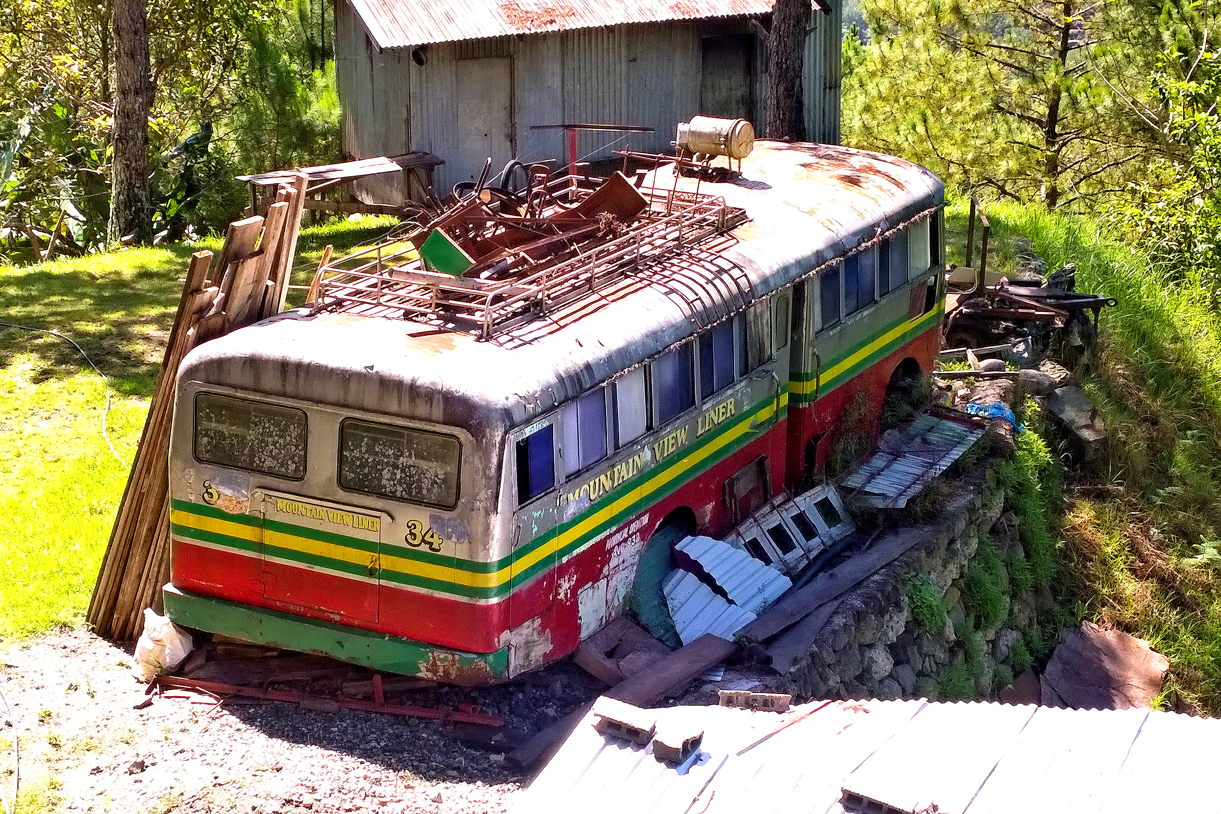
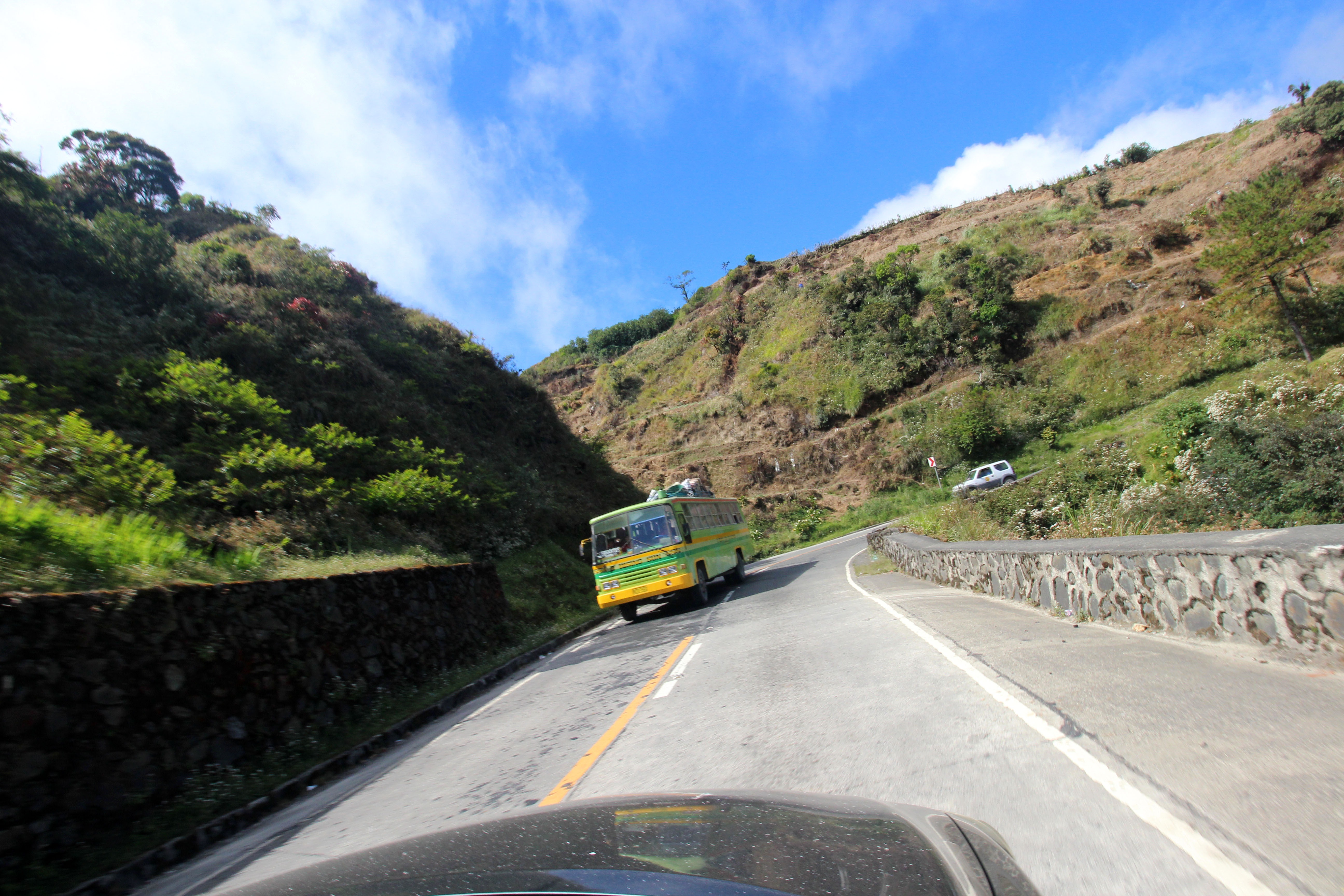
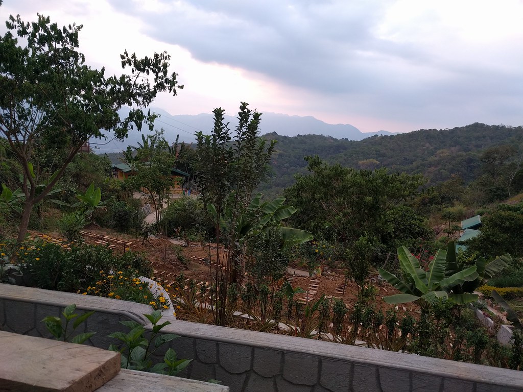
Mountain View Liner
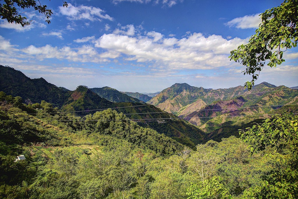
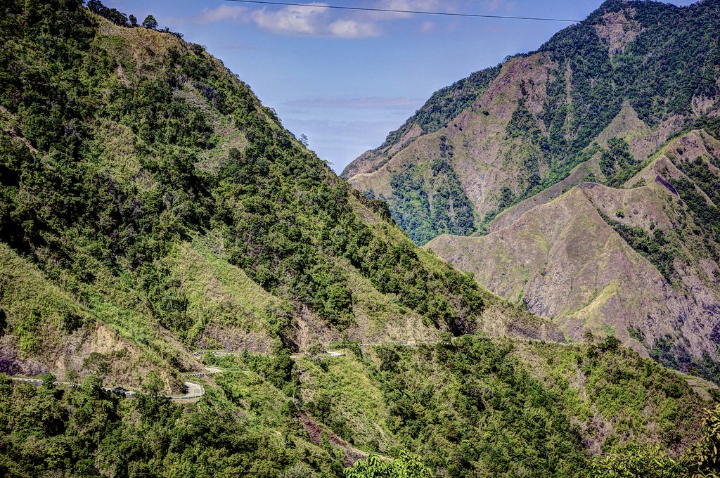
Mountain View
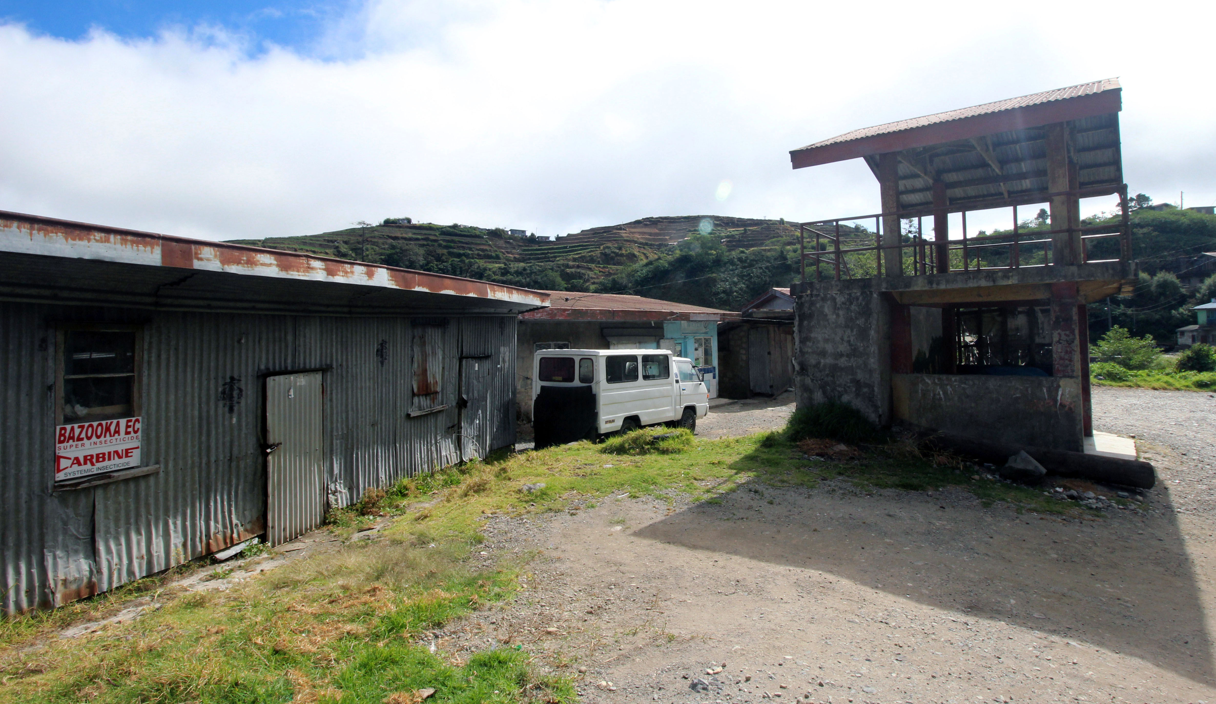
rural landscape- store

Local Mountain Man

Little one in the Mountain

Mountain Tatang
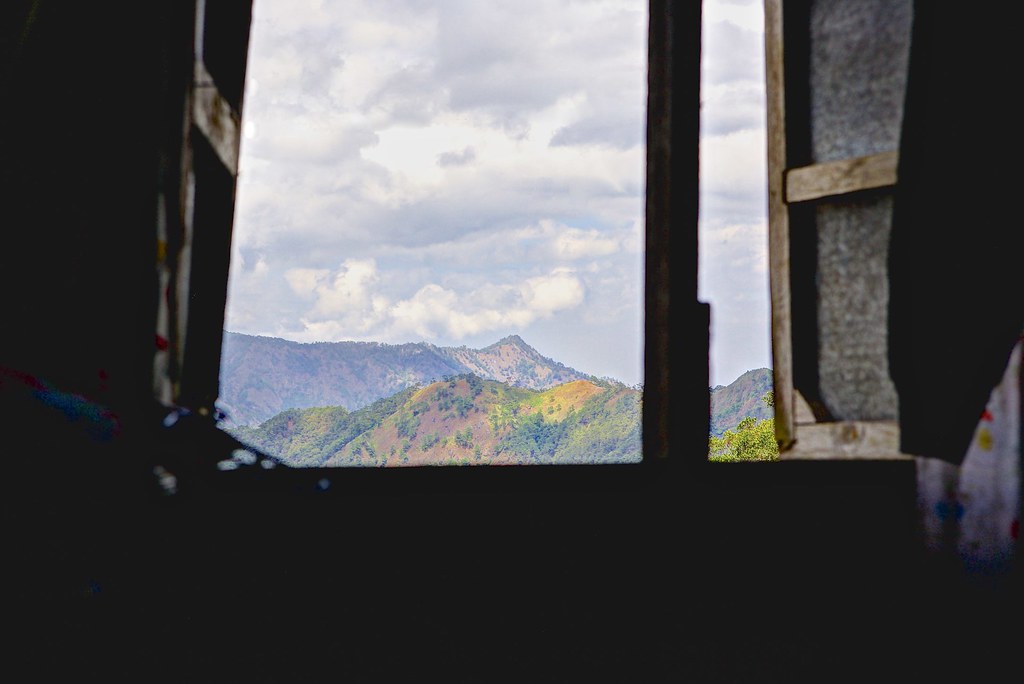
Bedroom Window
Drive up the Mountain 2

Mountain Fresh

20150119-014
Drive up the Mountain
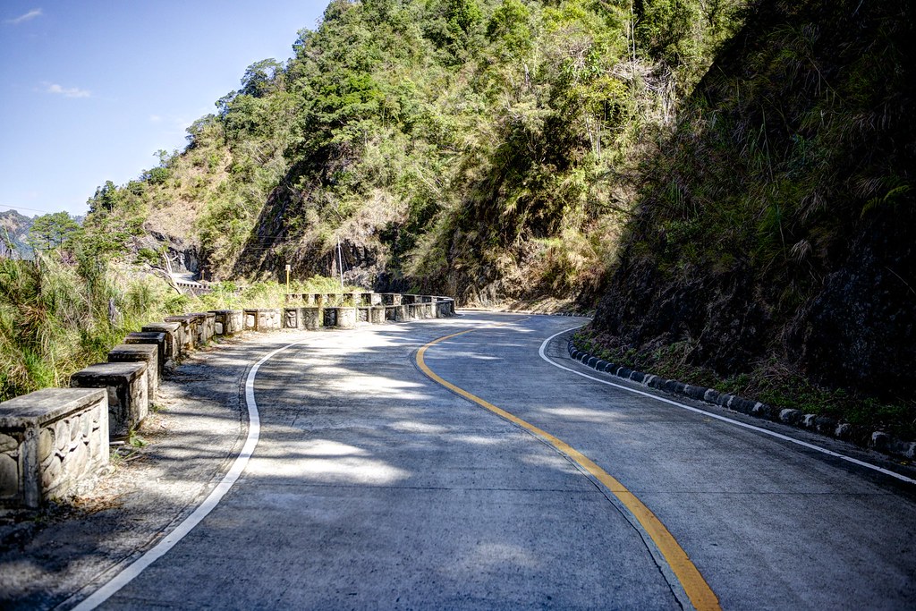
open road 17

20150119-015
20150119-016
20150119-013
Layog Country Farm
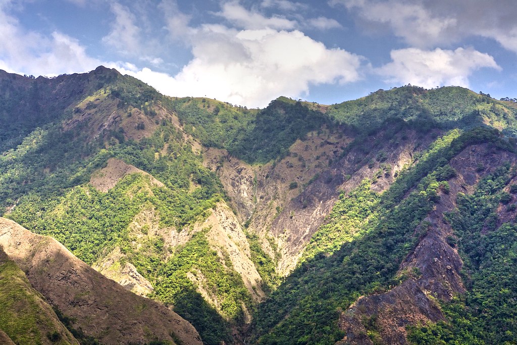
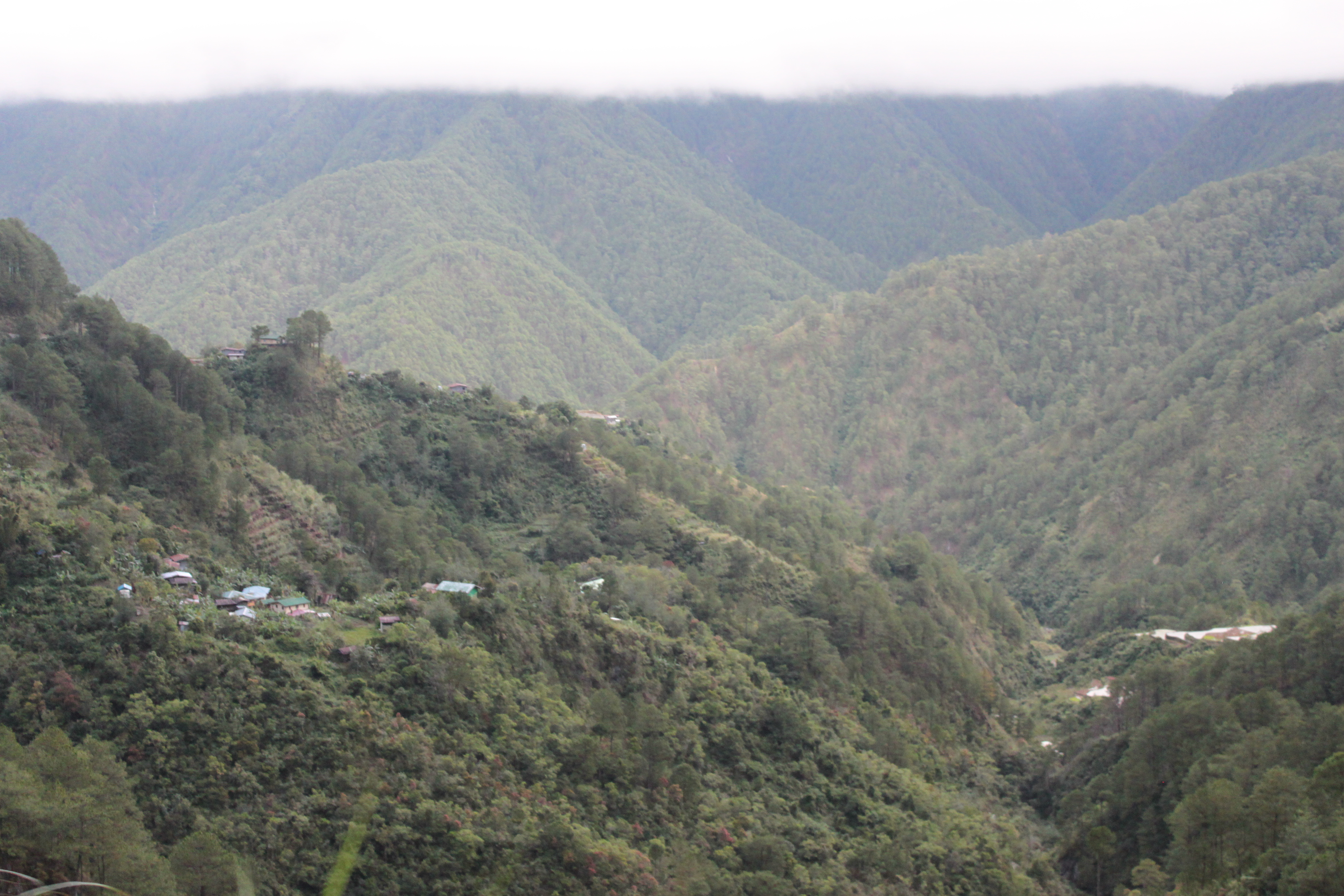
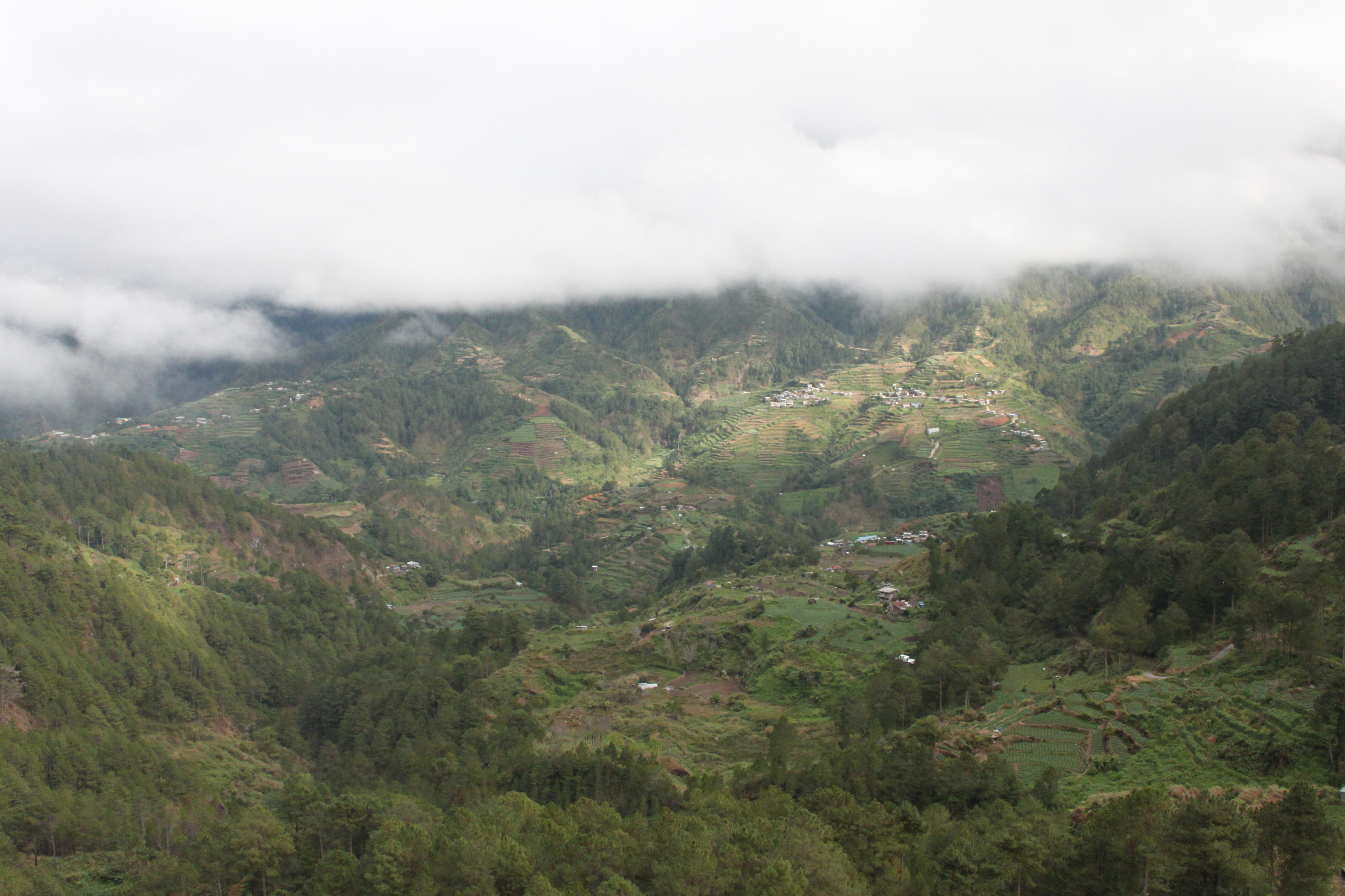
Mountain Clouds

terraces by the side of the highway 8
Topographic Map of Balili Elementary School, Balili, Mankayan, Benguet, Philippines
Find elevation by address:

Places near Balili Elementary School, Balili, Mankayan, Benguet, Philippines:
Cabacab Elementary School - Annex (cada)
Am-am Elementary School
Guinaoang Elementary School
Lepanto
Tabio
Balili National High School
Balili
Guinaoang
Cotcot, Talabis, Elementary School
Abatan
Mount Data Hotel
Sinto Elementary School
Sinto
Mount Data Road
Loo Elementary School Basketball Court
Monamon Sur Barangay Hall
Bakun Municipal Hall
Loo
Binaka Roman Catholic Church
Bakun
Recent Searches:
- Elevation of Congressional Dr, Stevensville, MD, USA
- Elevation of Bellview Rd, McLean, VA, USA
- Elevation of Stage Island Rd, Chatham, MA, USA
- Elevation of Shibuya Scramble Crossing, 21 Udagawacho, Shibuya City, Tokyo -, Japan
- Elevation of Jadagoniai, Kaunas District Municipality, Lithuania
- Elevation of Pagonija rock, Kranto 7-oji g. 8"N, Kaunas, Lithuania
- Elevation of Co Rd 87, Jamestown, CO, USA
- Elevation of Tenjo, Cundinamarca, Colombia
- Elevation of Côte-des-Neiges, Montreal, QC H4A 3J6, Canada
- Elevation of Bobcat Dr, Helena, MT, USA