Elevation of Mankayan, Benguet, Philippines
Location: Philippines > Cordillera Administrative Region > Benguet >
Longitude: 120.780967
Latitude: 16.8770346
Elevation: 1025m / 3363feet
Barometric Pressure: 90KPa
Elevation Map:
Satellite Map:
Related Photos:
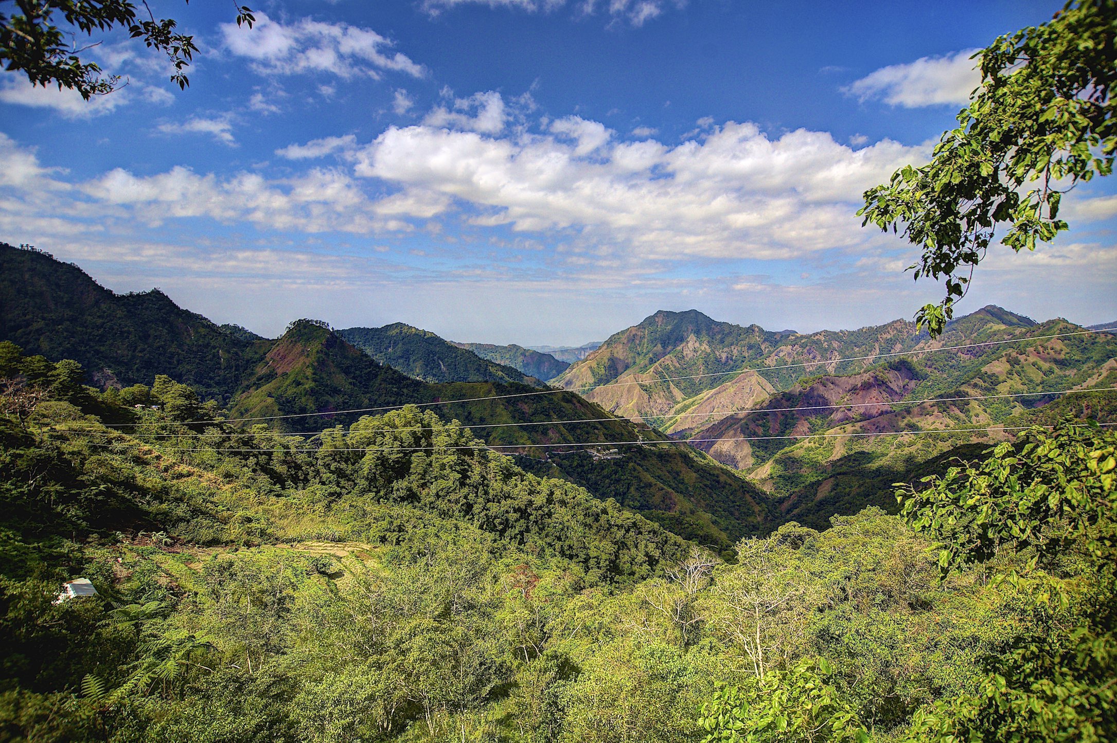
Mountain View
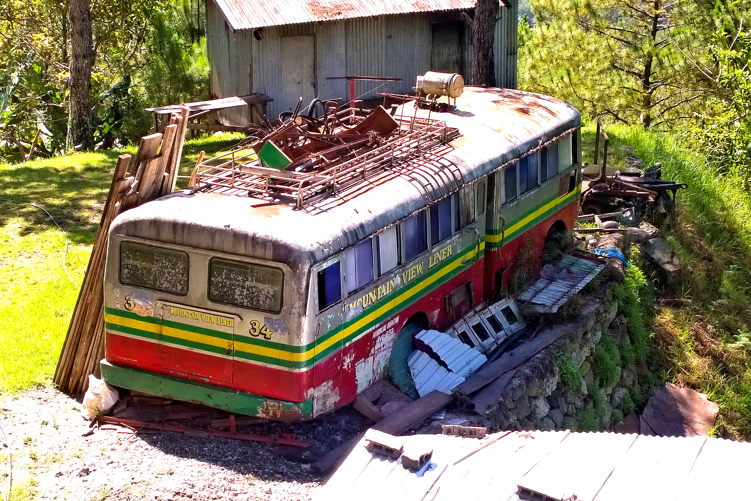
Mountain View Liner
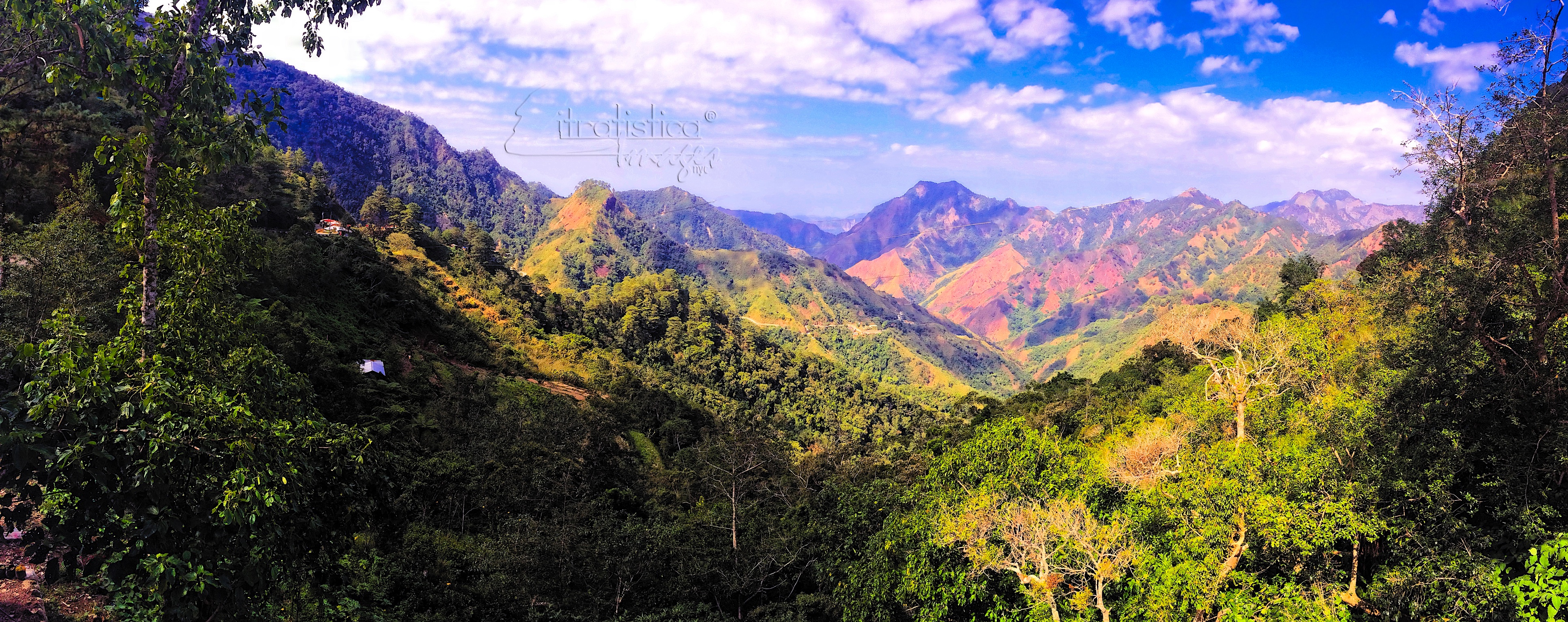
Bessing Pass Mountain

Little one in the Mountain
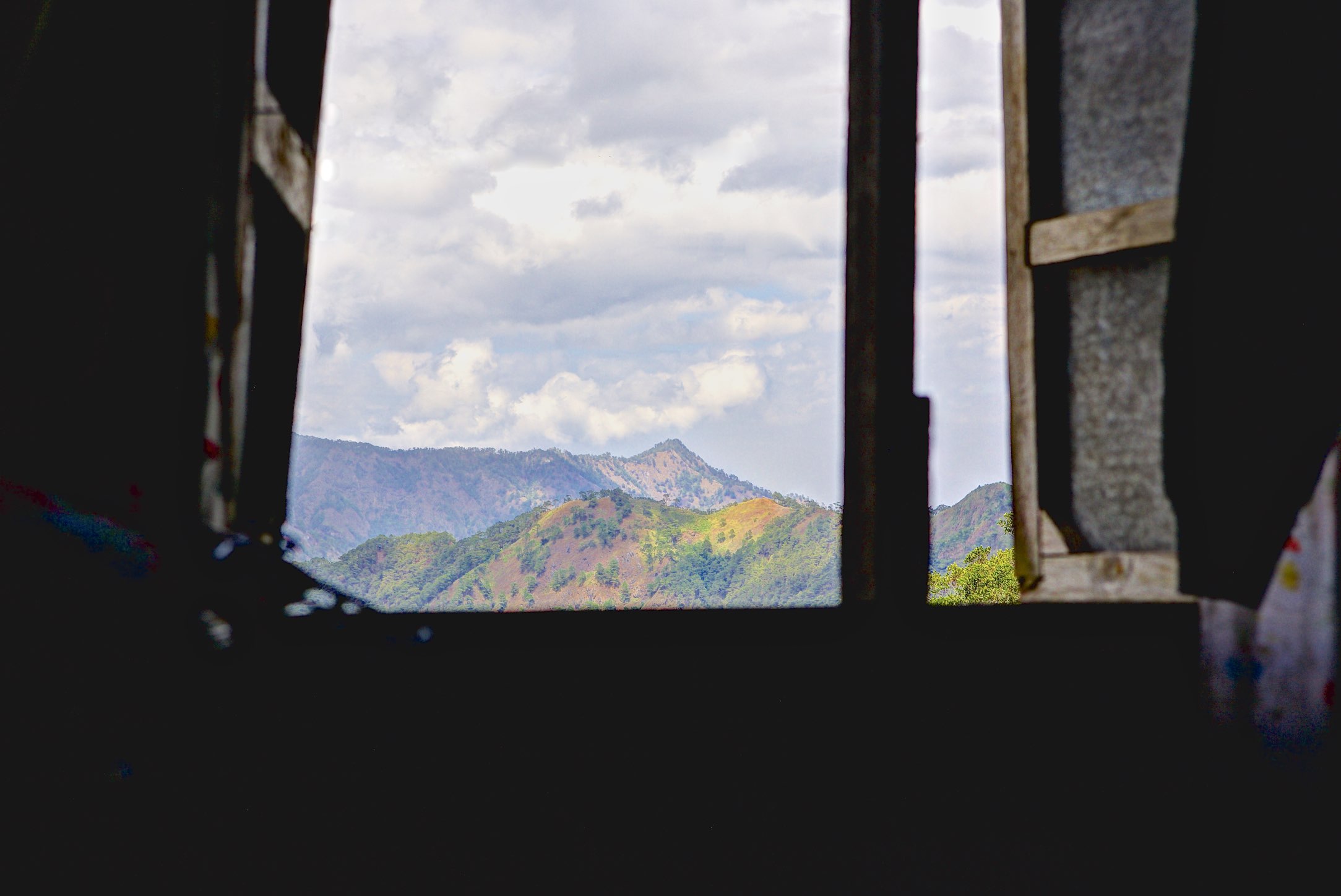
Bedroom Window

Mountain Tatang
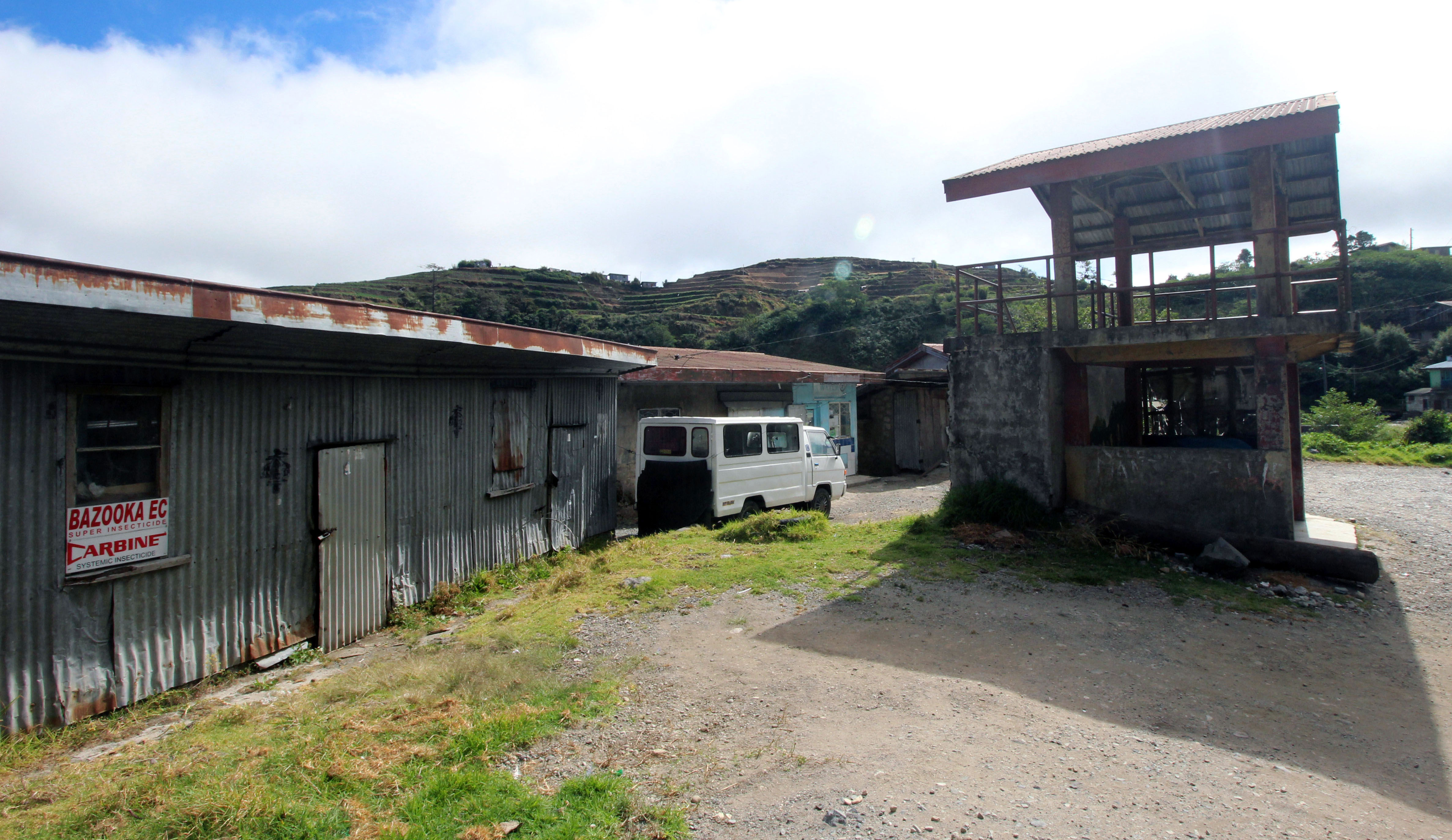
rural landscape- store

Local Mountain Man

Drive up the Mountain 2

Mountain Fresh
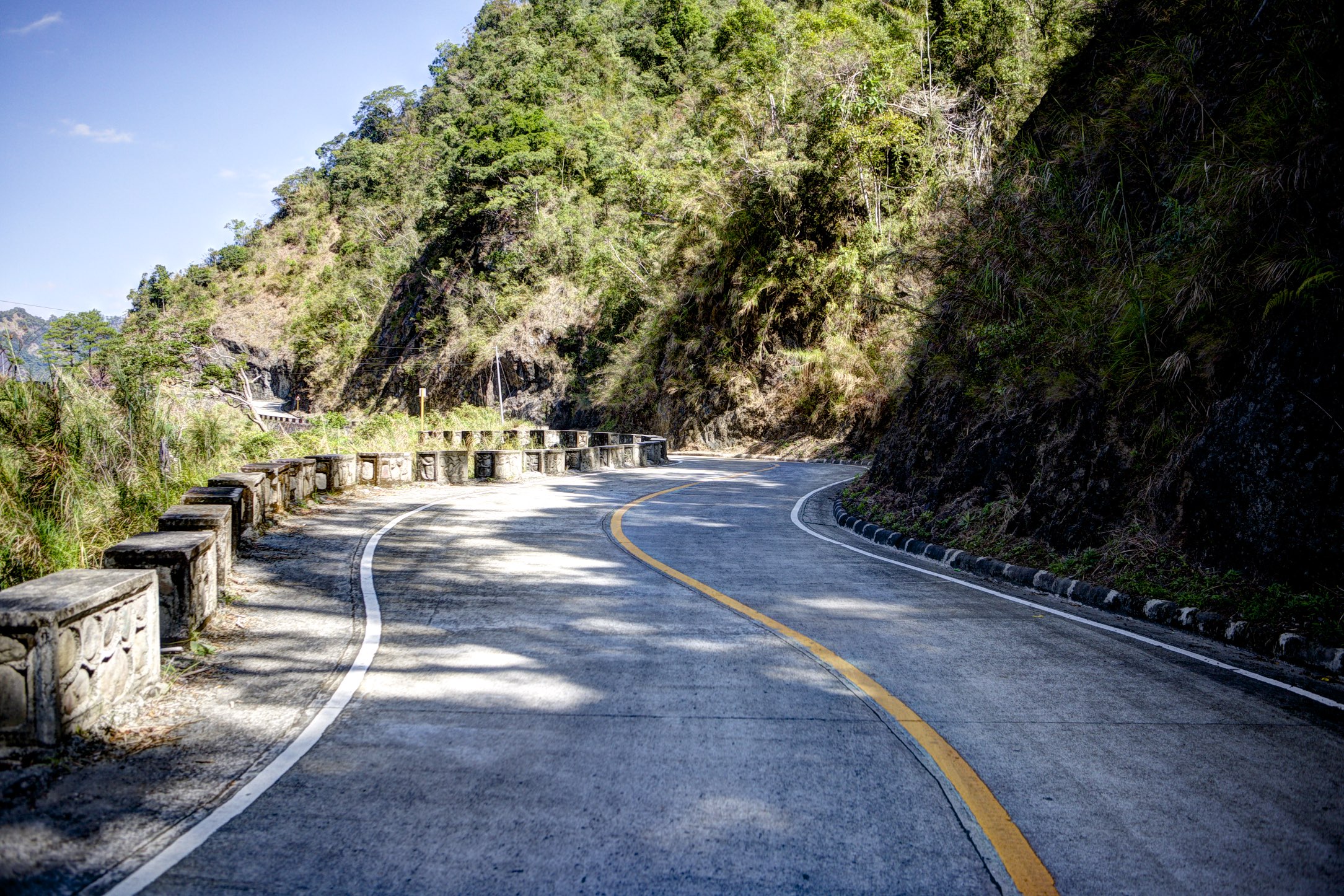
open road 17
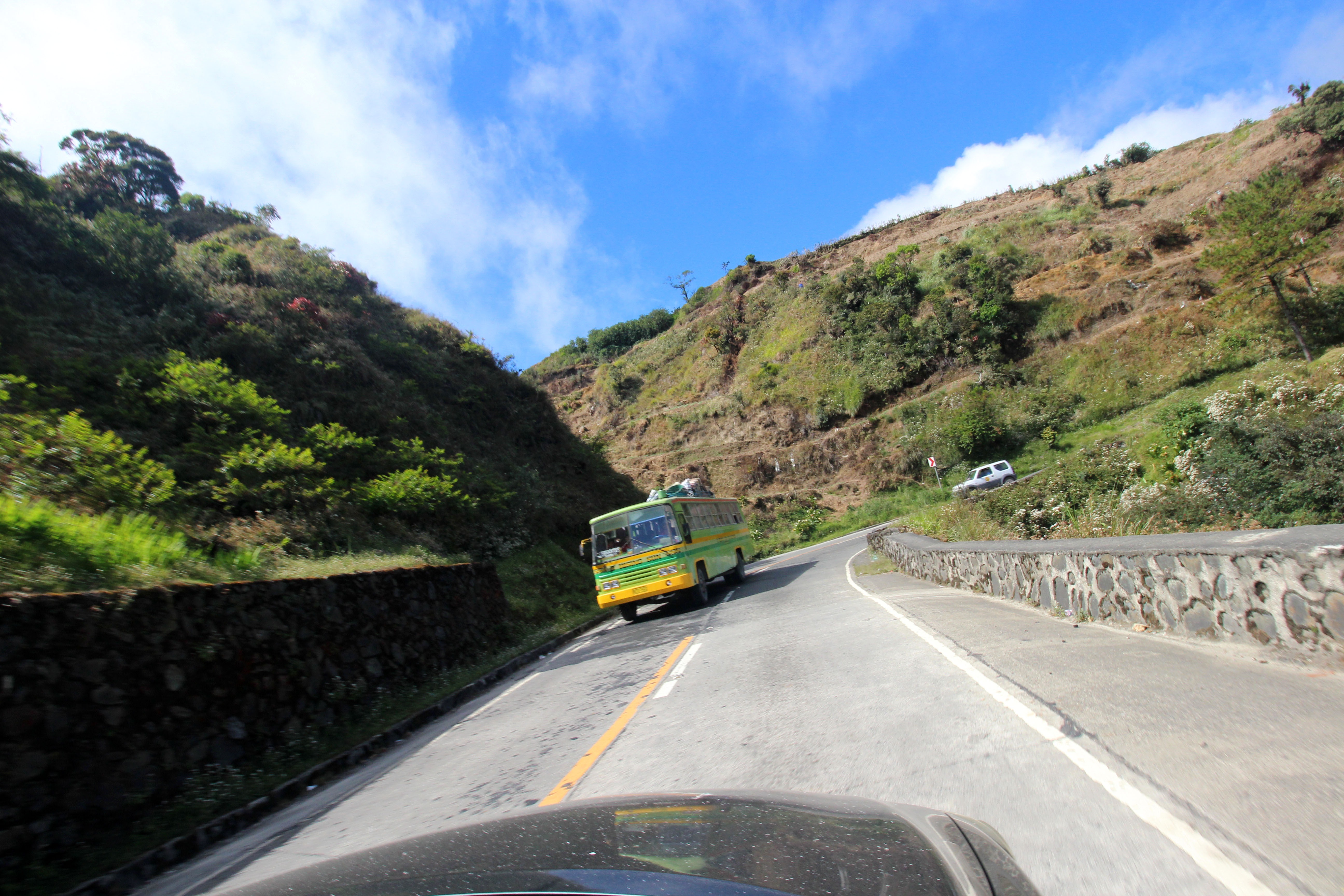
Drive up the Mountain

20150119-014

20150119-015
20150119-016
20150119-013
Layog Country Farm

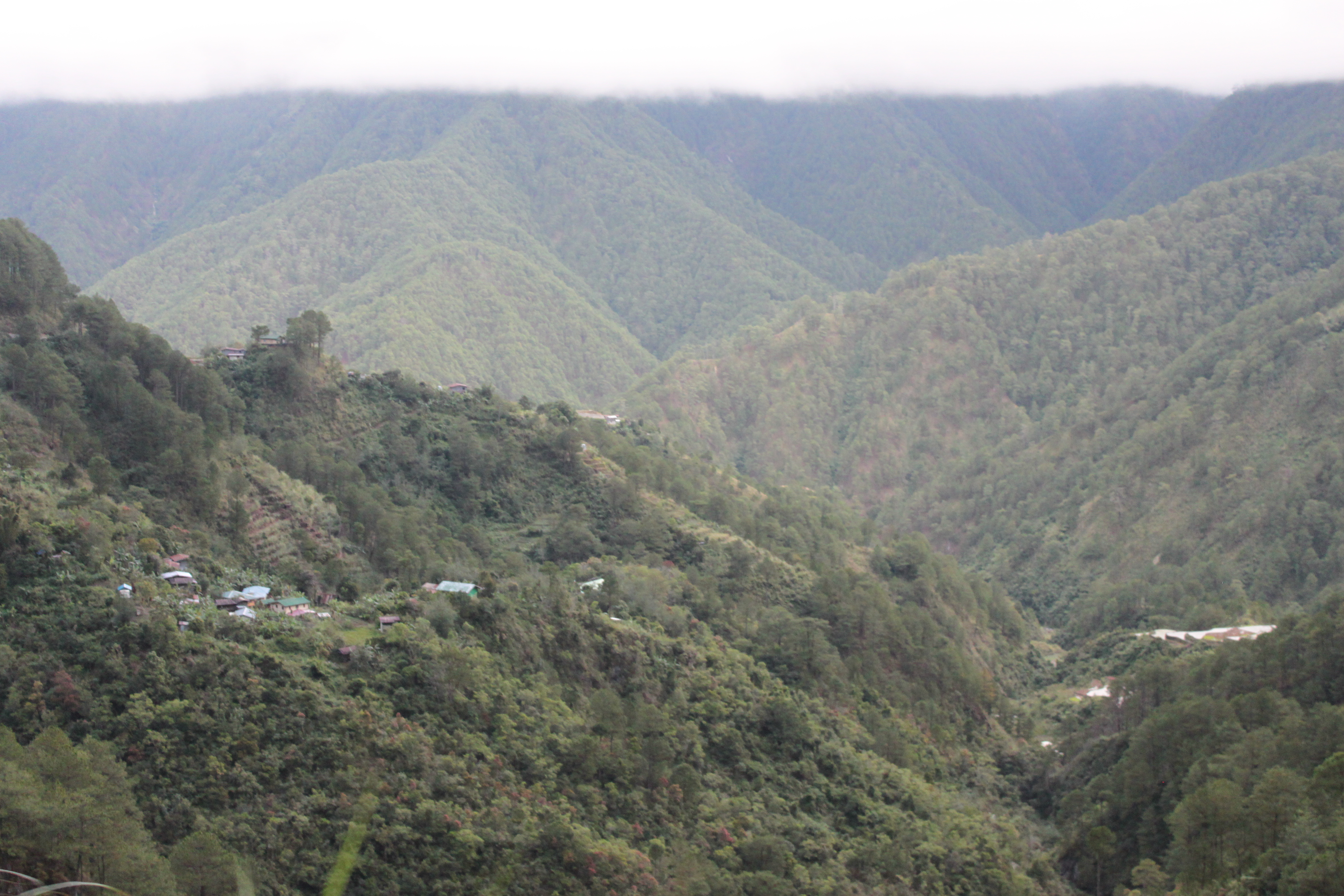
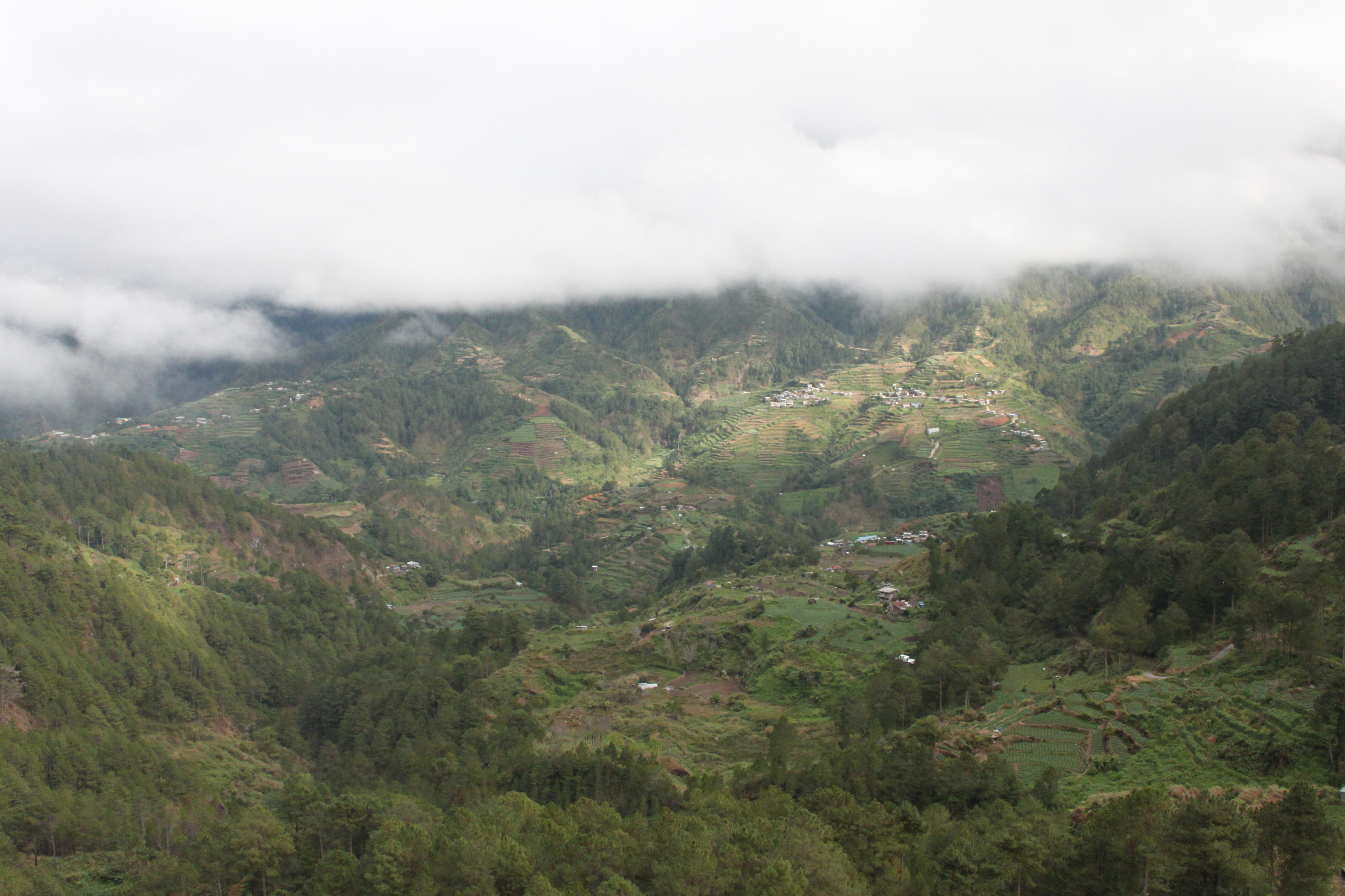
Mountain Clouds

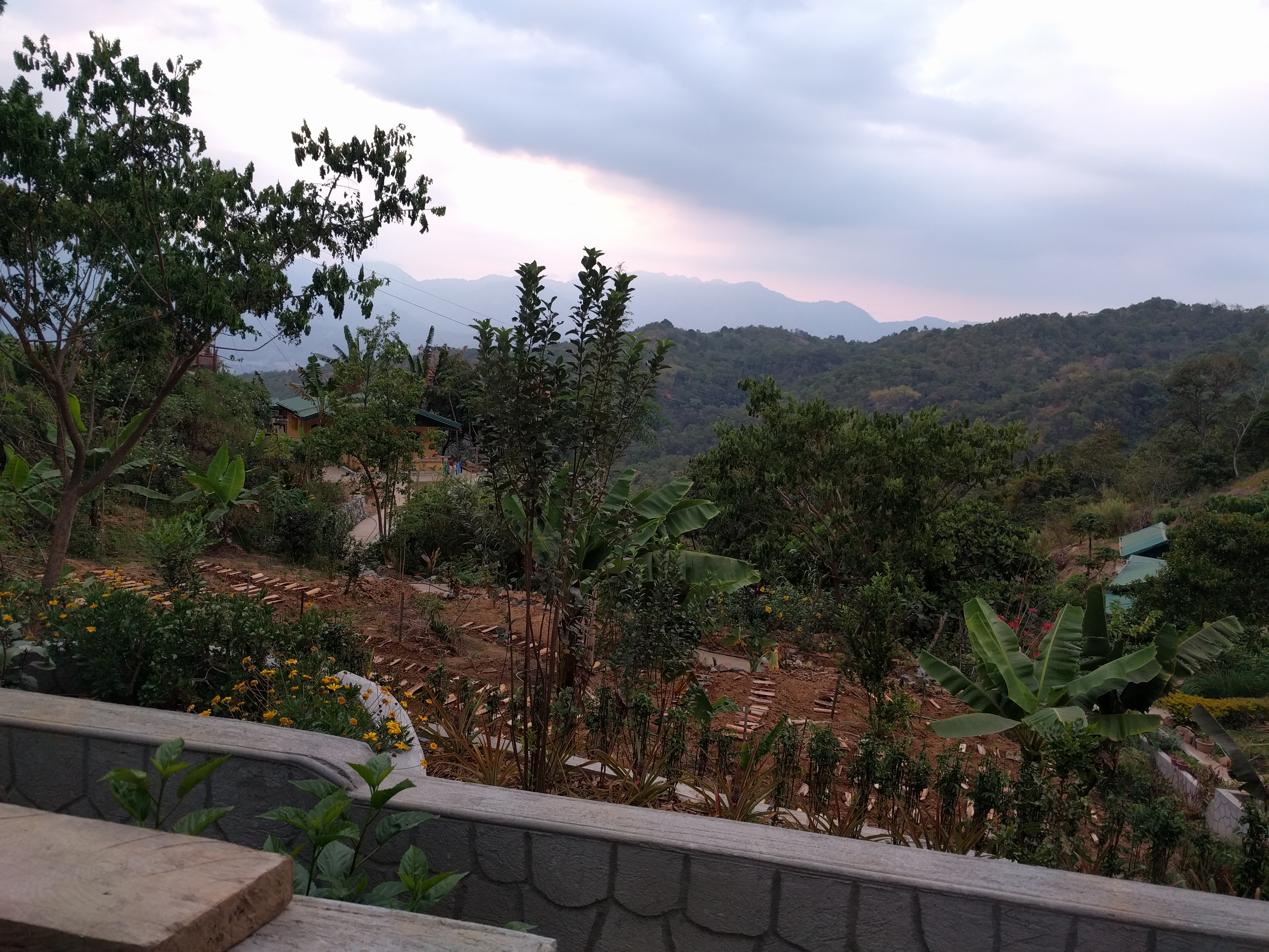
terraces by the side of the highway 8
Topographic Map of Mankayan, Benguet, Philippines
Find elevation by address:

Places in Mankayan, Benguet, Philippines:
Places near Mankayan, Benguet, Philippines:
Colalo
Cabiten
Dacodac-mankayan Road
Dacudac
Mount Data
Gitlangan Bridge
Tadian
Sayapot Primary School
Sadsadan Barangay Hall
Sadsadan
Abatan
Lagawa
Cervantes
Daing Elementary School
Bauko
Poblacion (bauko)
Remedios
Camatagan
Otucan Sur
Sabangan
Recent Searches:
- Elevation of Gateway Blvd SE, Canton, OH, USA
- Elevation of East W.T. Harris Boulevard, E W.T. Harris Blvd, Charlotte, NC, USA
- Elevation of West Sugar Creek, Charlotte, NC, USA
- Elevation of Wayland, NY, USA
- Elevation of Steadfast Ct, Daphne, AL, USA
- Elevation of Lagasgasan, X+CQH, Tiaong, Quezon, Philippines
- Elevation of Rojo Ct, Atascadero, CA, USA
- Elevation of Flagstaff Drive, Flagstaff Dr, North Carolina, USA
- Elevation of Avery Ln, Lakeland, FL, USA
- Elevation of Woolwine, VA, USA