Elevation of Loo, Buguias, Benguet, Philippines

Location: Philippines > Cordillera Administrative Region > Benguet > Buguias >

Longitude: 120.855636

Latitude: 16.7962867

Elevation: -10000m / -32808feet

Barometric Pressure: 295KPa

Elevation Map:

elevation map of Loo, Buguias, Benguet, Philippines

Satellite Map:

Satellite map of Loo, Buguias, Benguet, Philippines

Related Photos:

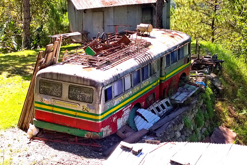
mountain bus view route baguio remains province liner bontoc bauko mabaay
Mountain View Liner
from riverside tai chong
been there done that
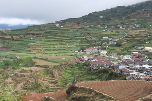
year2015 continentasia countryphilippines provincephbenguet quadrantnorthcentral regionphbeluzon cityphbenatubleng ricepaddies roadphbehalsemahighway day019of366january19th set2015ph trip2015philippines
20150119-005
year2015 continentasia countryphilippines provincephbenguet quadrantnorthcentral regionphbeluzon cityphbenatubleng ricepaddies roadphbehalsemahighway day019of366january19th set2015ph trip2015philippines
20150119-009
year2015 continentasia countryphilippines provincephbenguet quadrantnorthcentral regionphbeluzon cityphbenatubleng ricepaddies roadphbehalsemahighway day019of366january19th set2015ph trip2015philippines
20150119-011
year2015 continentasia countryphilippines provincephbenguet quadrantnorthcentral regionphbeluzon cityphbenatubleng ricepaddies roadphbehalsemahighway day019of366january19th set2015ph trip2015philippines
20150119-004
year2015 continentasia countryphilippines provincephbenguet quadrantnorthcentral regionphbeluzon cityphbenatubleng ricepaddies roadphbehalsemahighway day019of366january19th set2015ph trip2015philippines
20150119-008
year2015 continentasia countryphilippines provincephbenguet quadrantnorthcentral regionphbeluzon cityphbenatubleng ricepaddies roadphbehalsemahighway day019of366january19th set2015ph trip2015philippines
20150119-006
year2015 continentasia countryphilippines provincephbenguet quadrantnorthcentral regionphbeluzon cityphbenatubleng ricepaddies roadphbehalsemahighway day019of366january19th set2015ph trip2015philippines
20150119-010
year2015 continentasia countryphilippines provincephmountain quadrantsouthwest regionphmnluzon cityphmnmountdata ricepaddies roadphmnhalsemahighway day019of366january19th set2015ph trip2015philippines
20150119-014
DSC_0165-01
year2015 continentasia countryphilippines provincephmountain quadrantsouthwest regionphmnluzon cityphmncapitinitan roadphmnhalsemahighway day019of366january19th set2015ph trip2015philippines
20150119-015
year2015 continentasia countryphilippines provincephmountain quadrantsouthwest regionphmnluzon cityphmncapitinitan ricepaddies roadphmnhalsemahighway day019of366january19th set2015ph trip2015philippines
20150119-016
year2015 continentasia countryphilippines provincephmountain quadrantsouthwest regionphmnluzon cityphmnmountdata ricepaddies roadphmnhalsemahighway day019of366january19th set2015ph trip2015philippines
20150119-013
year2015 continentasia countryphilippines provincephbenguet quadrantnorthcentral regionphbeluzon cityphbenatubleng ricepaddies roadphbehalsemahighway day019of366january19th set2015ph trip2015philippines
20150119-007
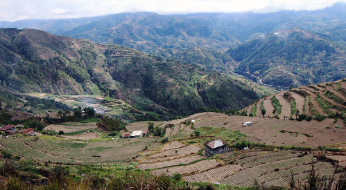
Philippines: Landscape around Kabayan
travel nature outdoors philippines manila sagada metromanila
terraces by the side of the highway 8