Elevation of Bakun, Benguet, Philippines
Location: Philippines > Cordillera Administrative Region > Benguet >
Longitude: 120.689005
Latitude: 16.8079575
Elevation: 1752m / 5748feet
Barometric Pressure: 82KPa
Elevation Map:
Satellite Map:
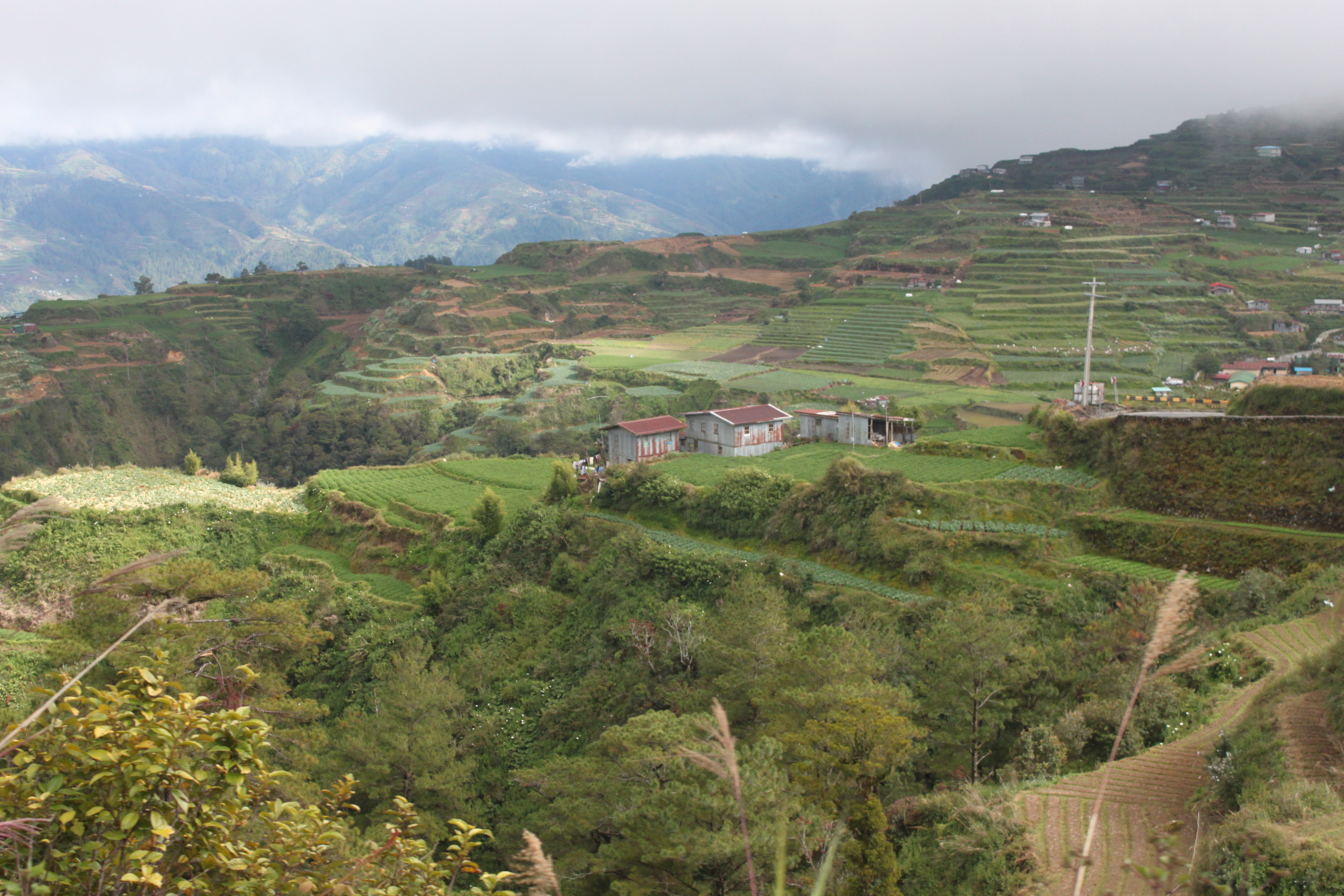
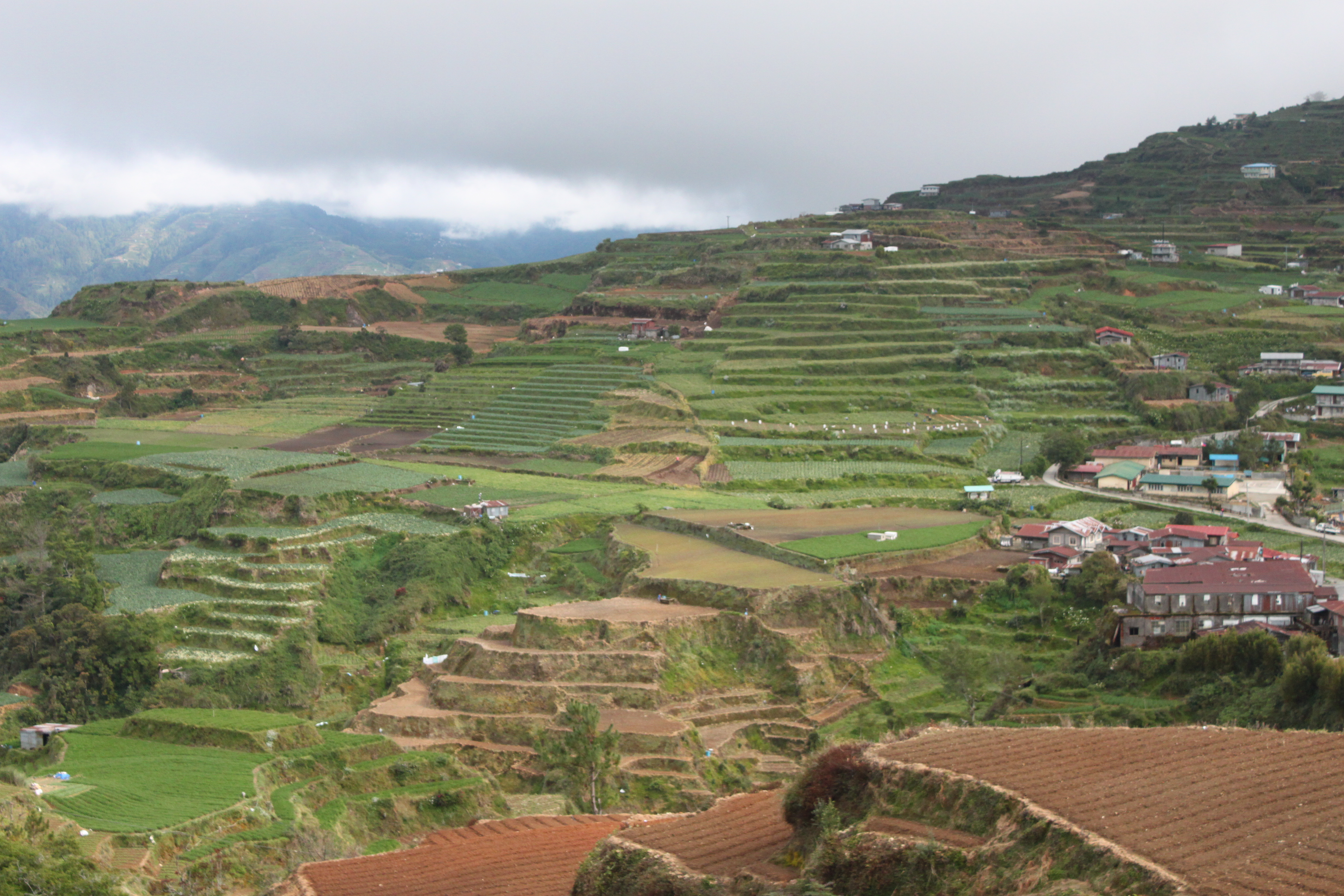
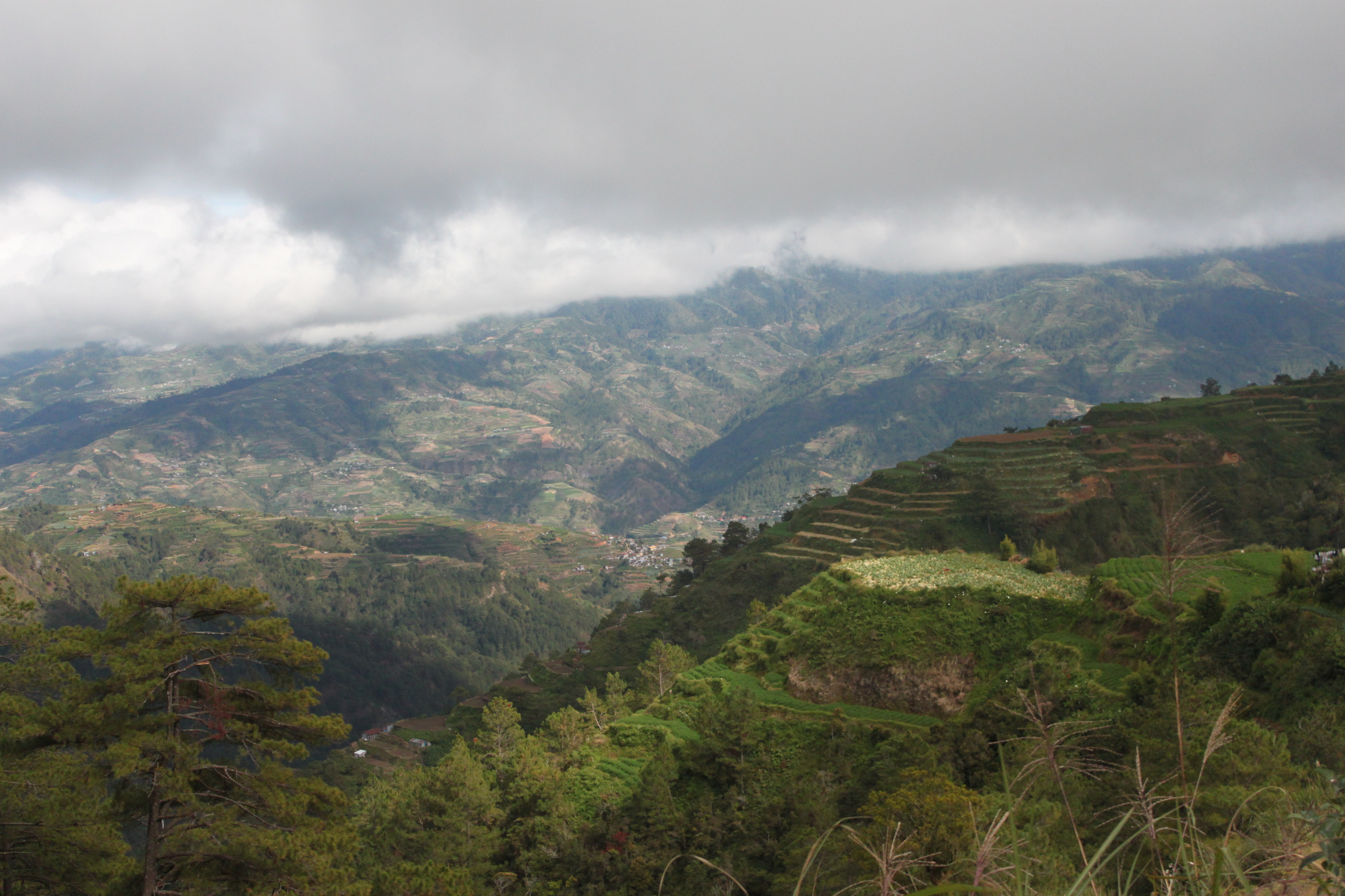
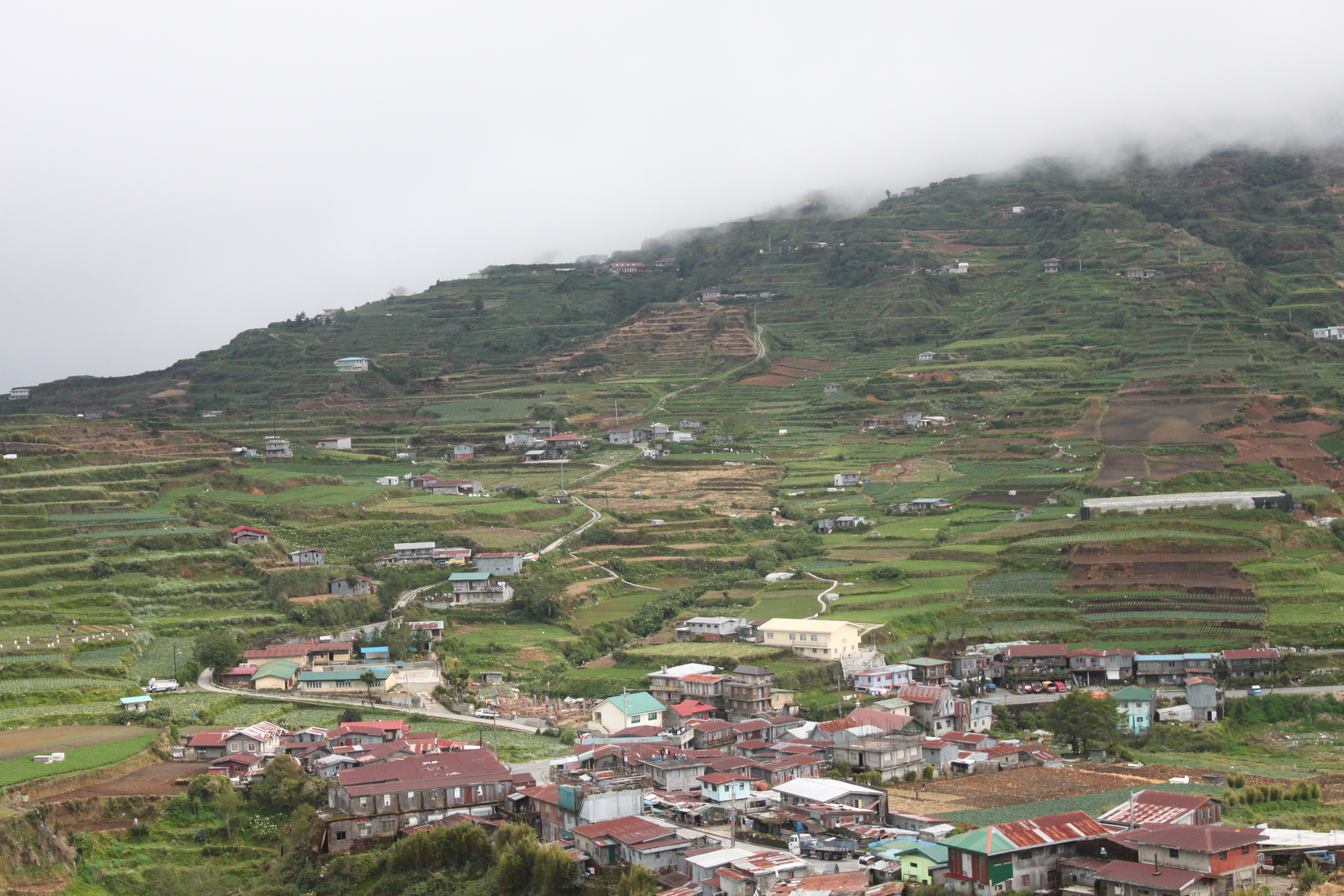
Related Photos:
20150119-009

20150119-005

20150119-011
20150119-004
20150119-008
20150119-006
20150119-010
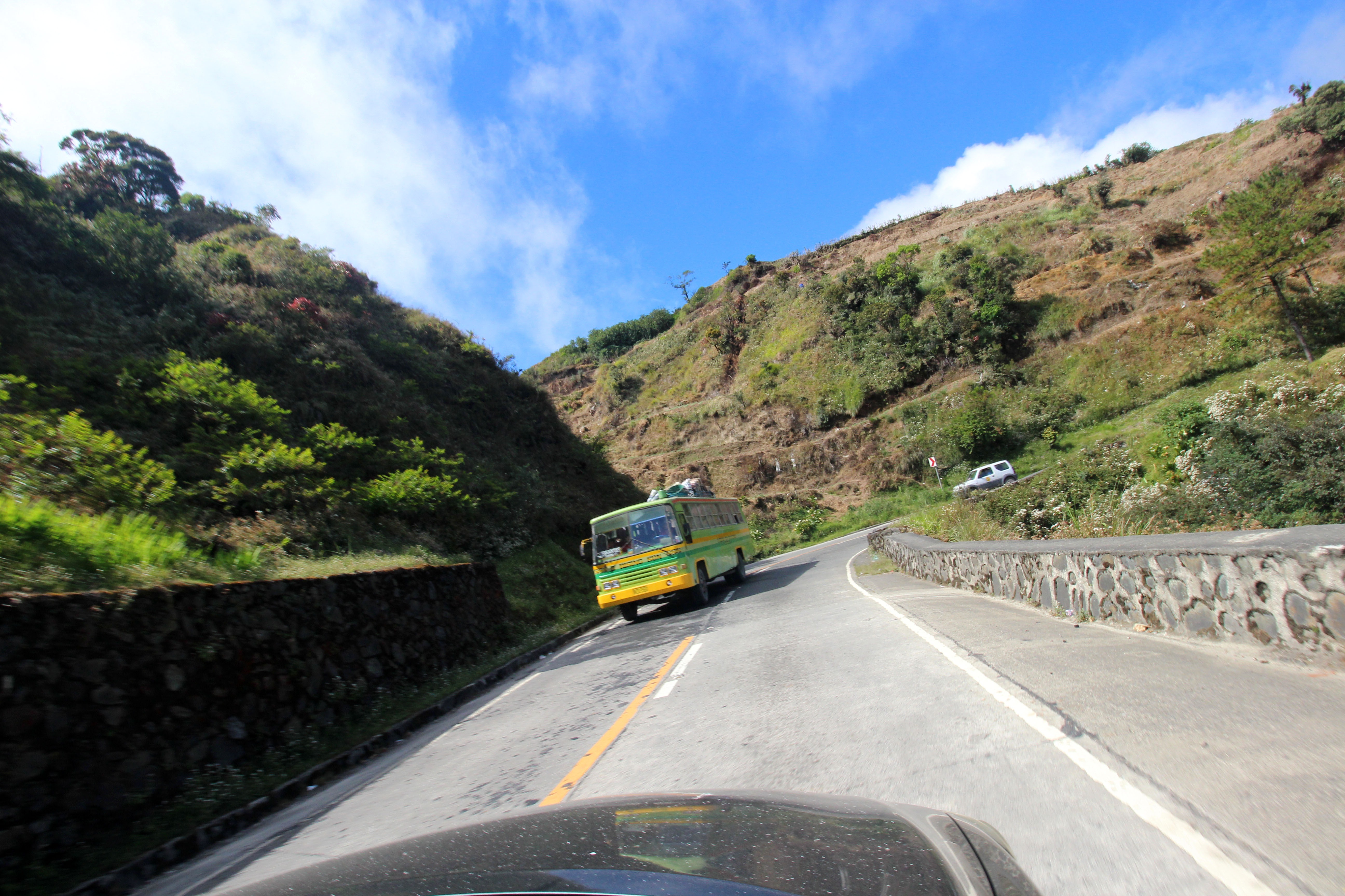
open road 17
20150119-007

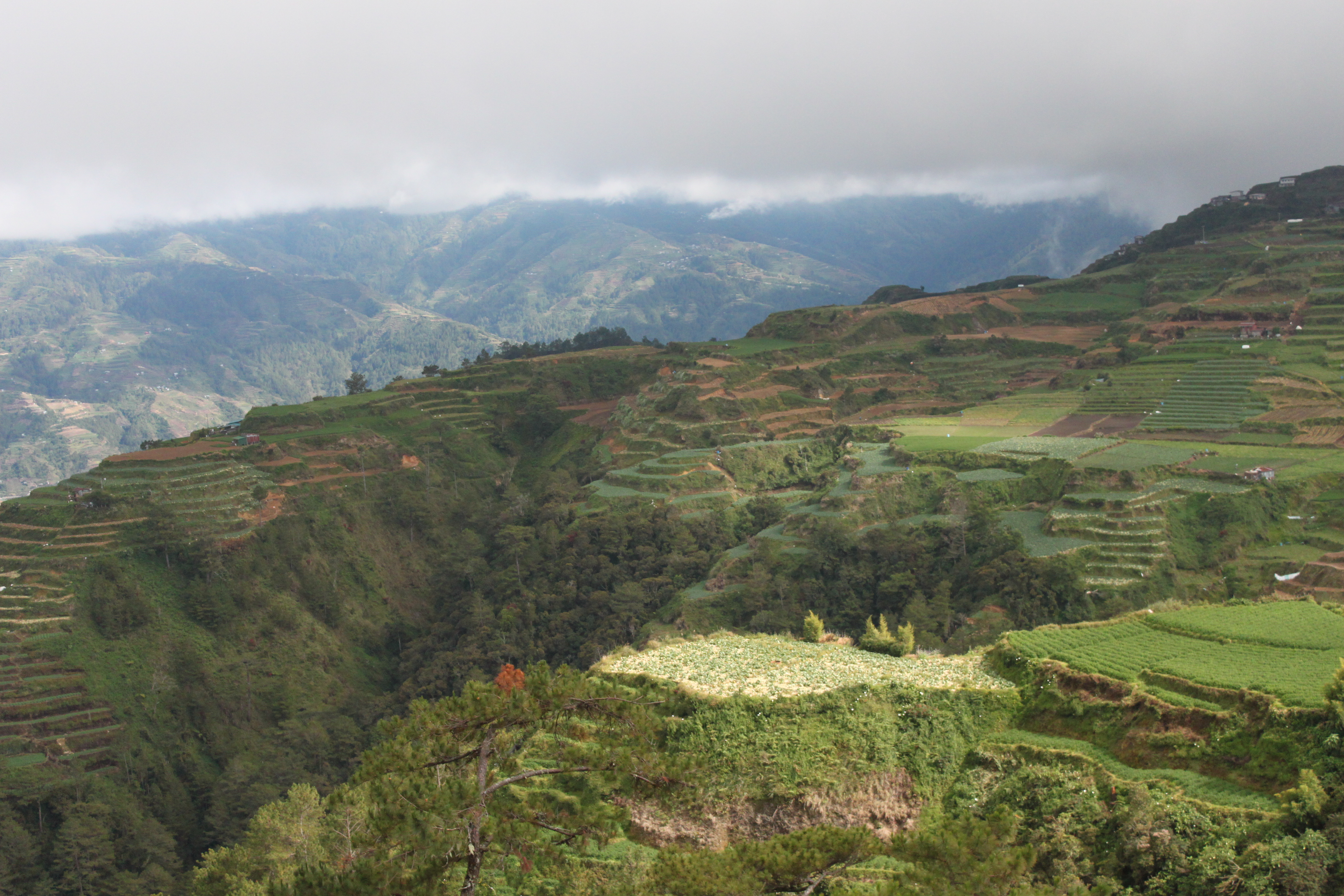
terraces by the side of the highway 8
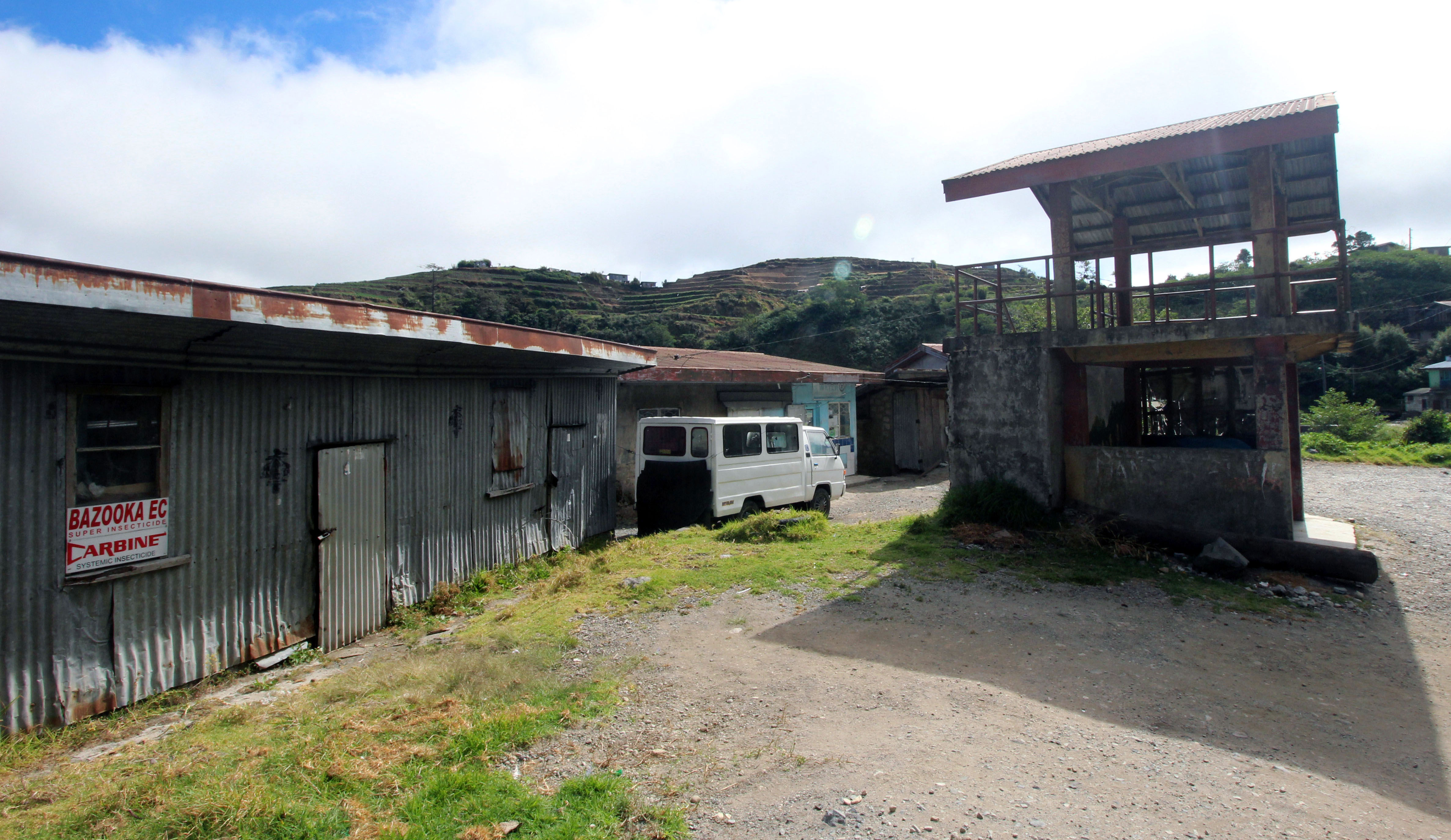
rural landscape- store
Topographic Map of Bakun, Benguet, Philippines
Find elevation by address:

Places near Bakun, Benguet, Philippines:
Tap-ayao-abiyang Elementary School (dada Elementary School)
Bakun Municipal Hall
Palina
Kayapa
Mount Guirayan
Madaymen
Lepanto
Tacadang
Sapdaan Primary School
Cabacab Elementary School - Annex (cada)
Am-am Elementary School
Balili Elementary School
Guinaoang Elementary School
Madaymen Road
Guinaoang
Tabio
Abatan
Balili National High School
Loo Elementary School Basketball Court
Balili
Recent Searches:
- Elevation of Elwyn Dr, Roanoke Rapids, NC, USA
- Elevation of Congressional Dr, Stevensville, MD, USA
- Elevation of Bellview Rd, McLean, VA, USA
- Elevation of Stage Island Rd, Chatham, MA, USA
- Elevation of Shibuya Scramble Crossing, 21 Udagawacho, Shibuya City, Tokyo -, Japan
- Elevation of Jadagoniai, Kaunas District Municipality, Lithuania
- Elevation of Pagonija rock, Kranto 7-oji g. 8"N, Kaunas, Lithuania
- Elevation of Co Rd 87, Jamestown, CO, USA
- Elevation of Tenjo, Cundinamarca, Colombia
- Elevation of Côte-des-Neiges, Montreal, QC H4A 3J6, Canada