Elevation of Sinto Elementary School, Sinto, Bauko, Mountain Province, Philippines
Location: Philippines > Cordillera Administrative Region > Mountain Province > Bauko > Sinto >
Longitude: 120.864704
Latitude: 16.8519574
Elevation: 2190m / 7185feet
Barometric Pressure: 78KPa
Elevation Map:
Satellite Map:
Related Photos:
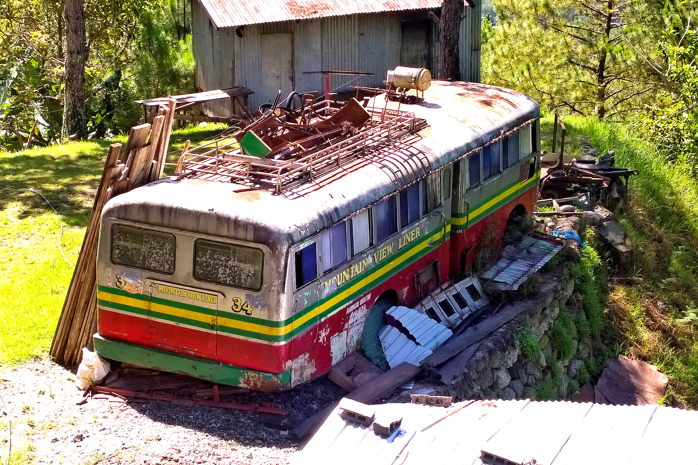
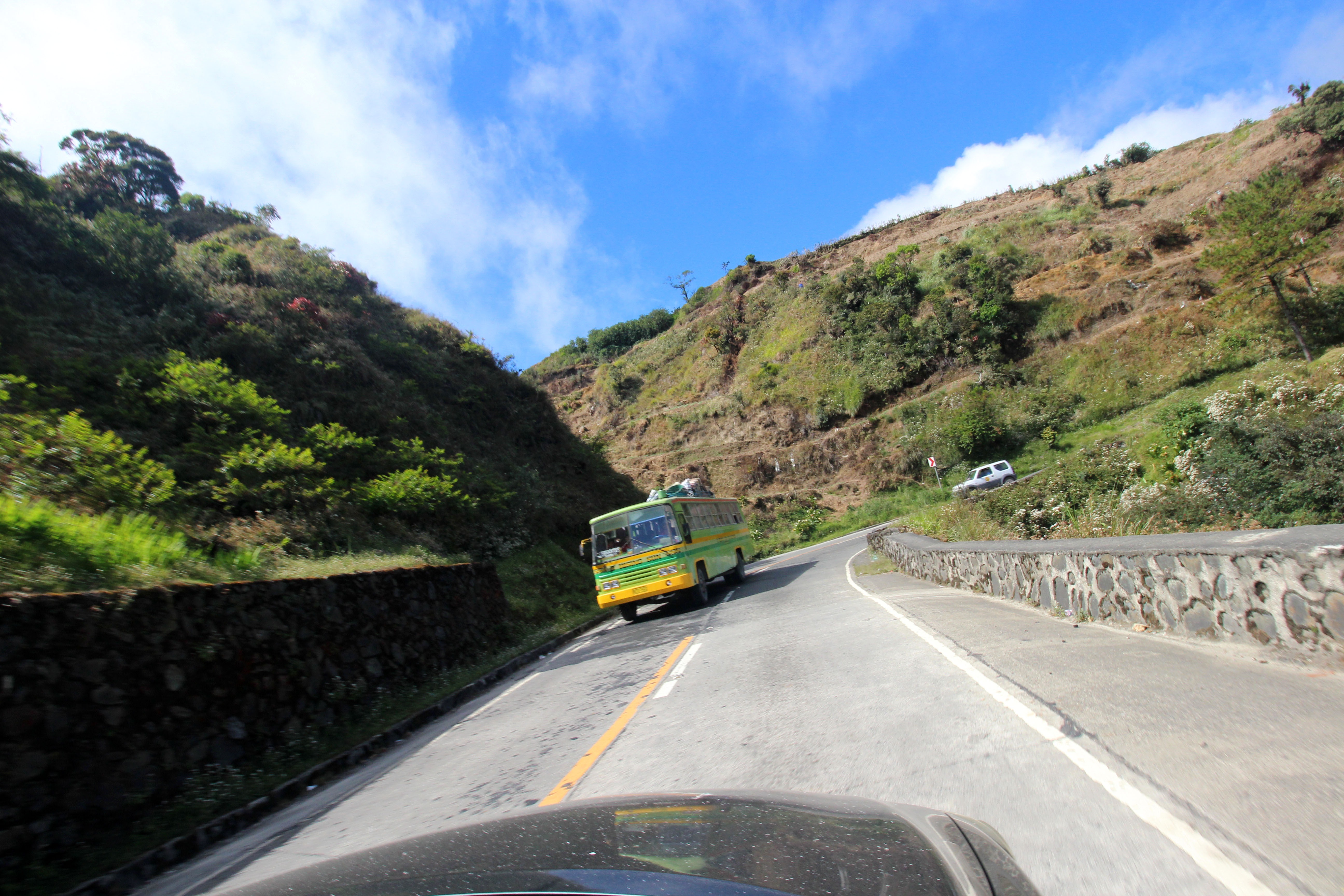
Mountain View Liner
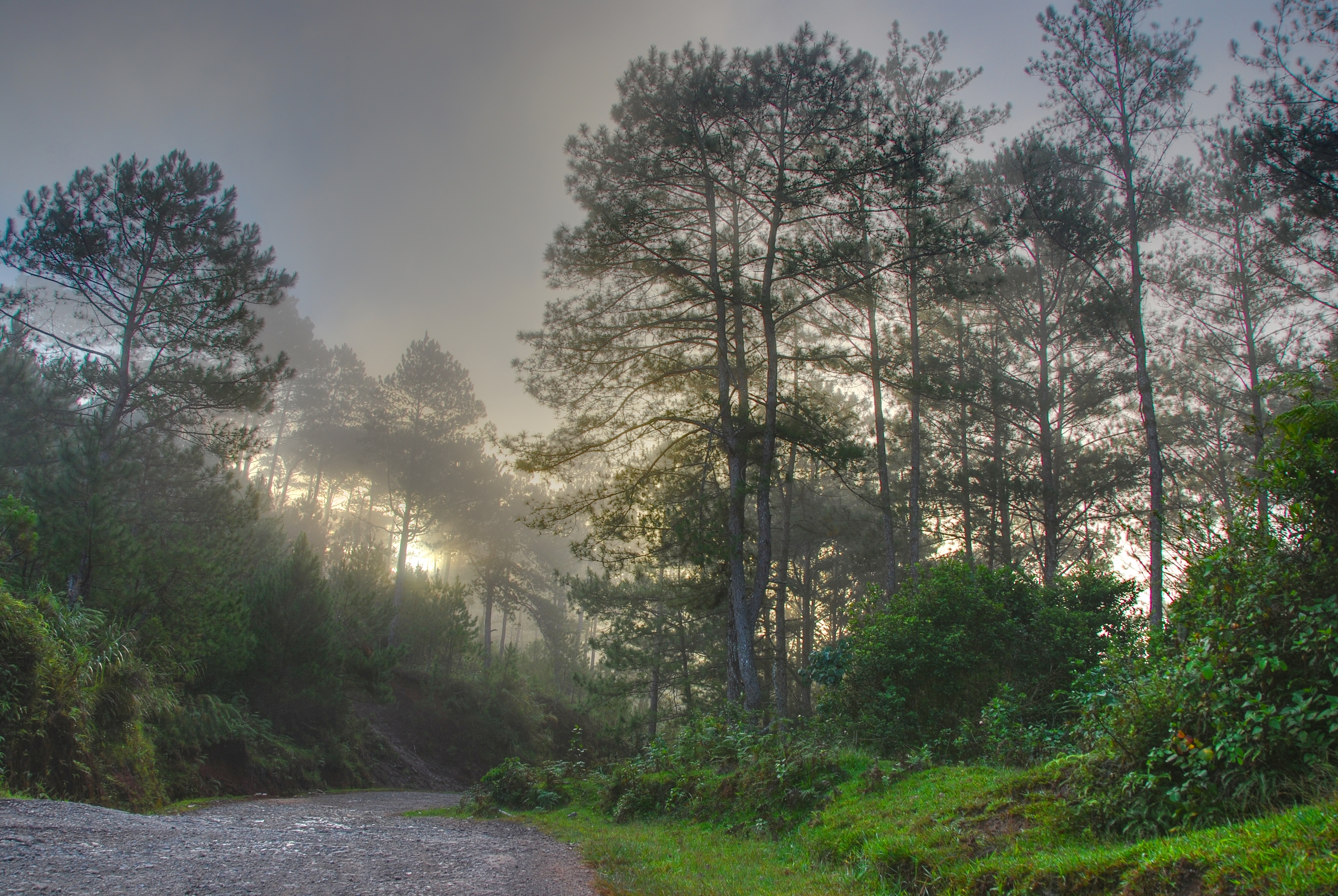
Early morning sagada HDR

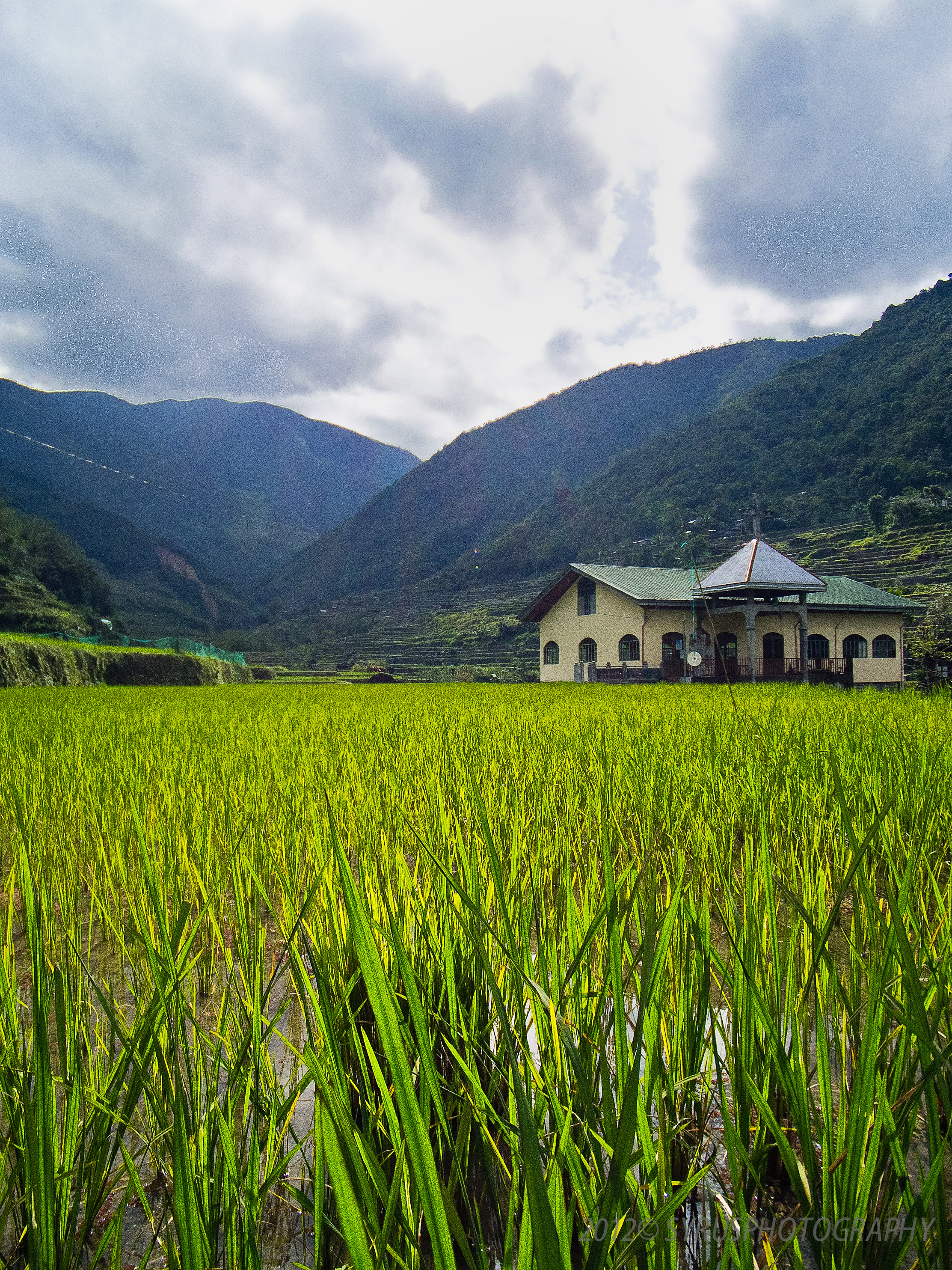
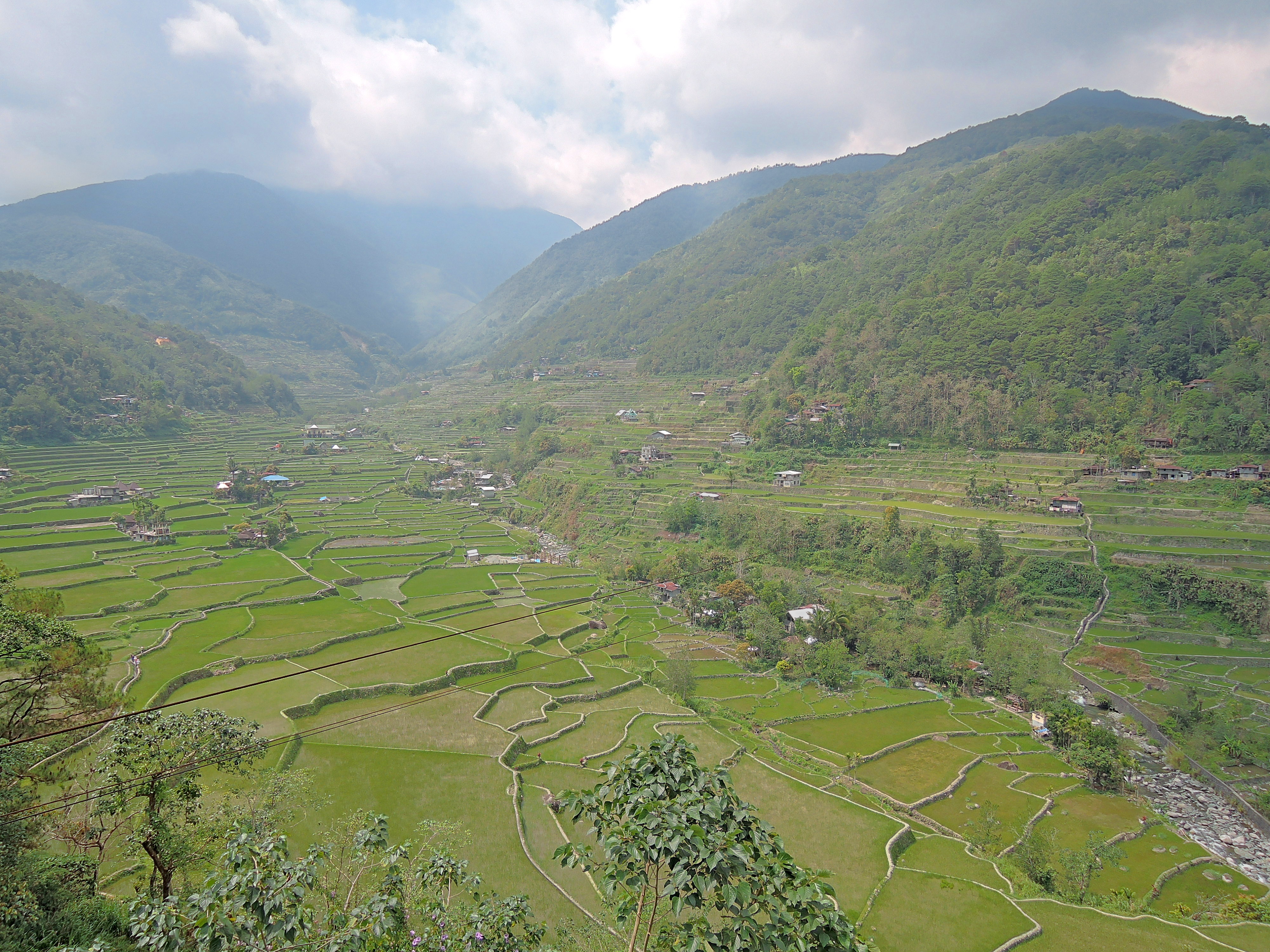
Hapao Rice Terraces, Philippines
The Church
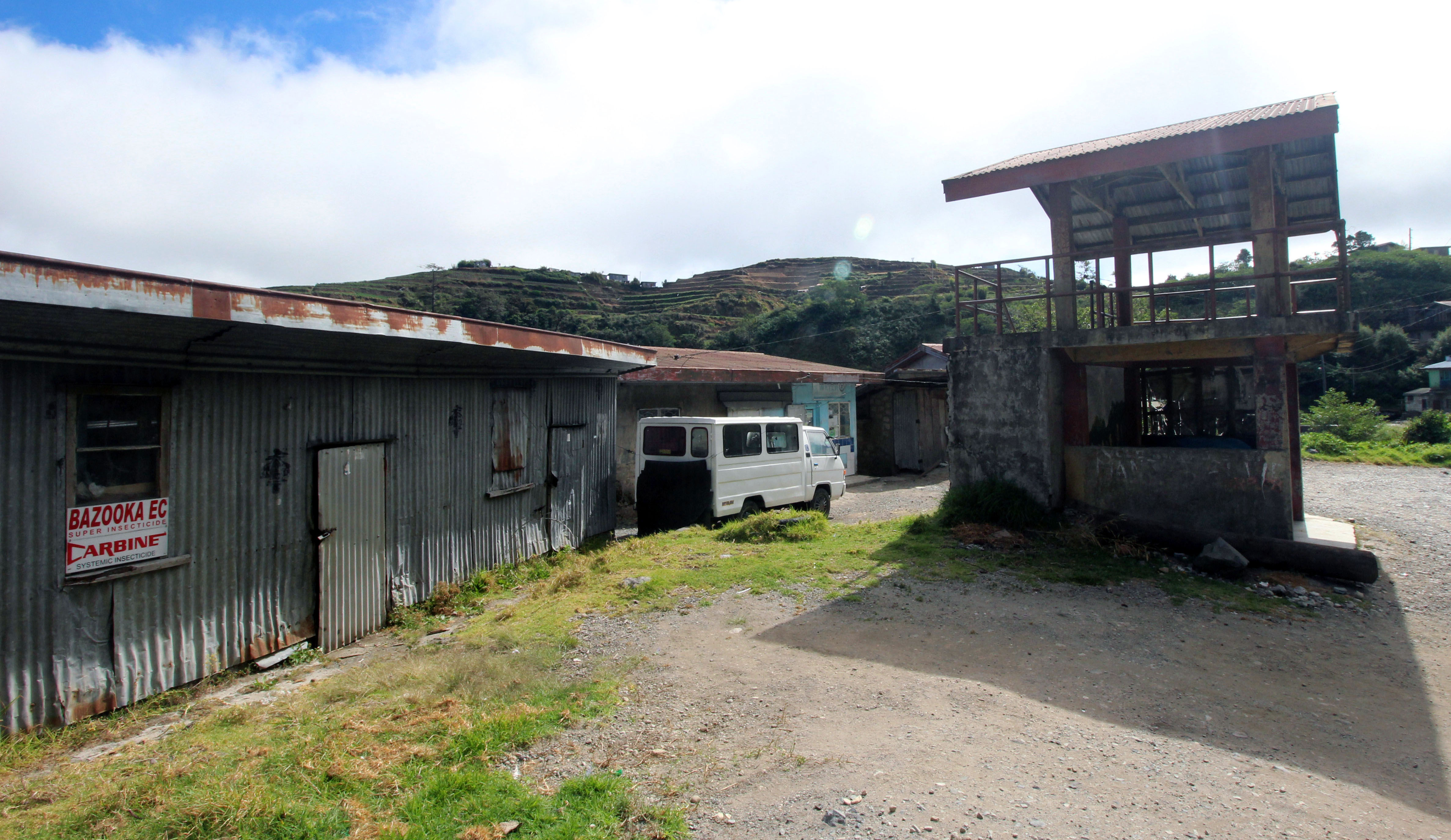
rural landscape- store
open road 17
Luzon, Philippines

20150119-014

20150119-015
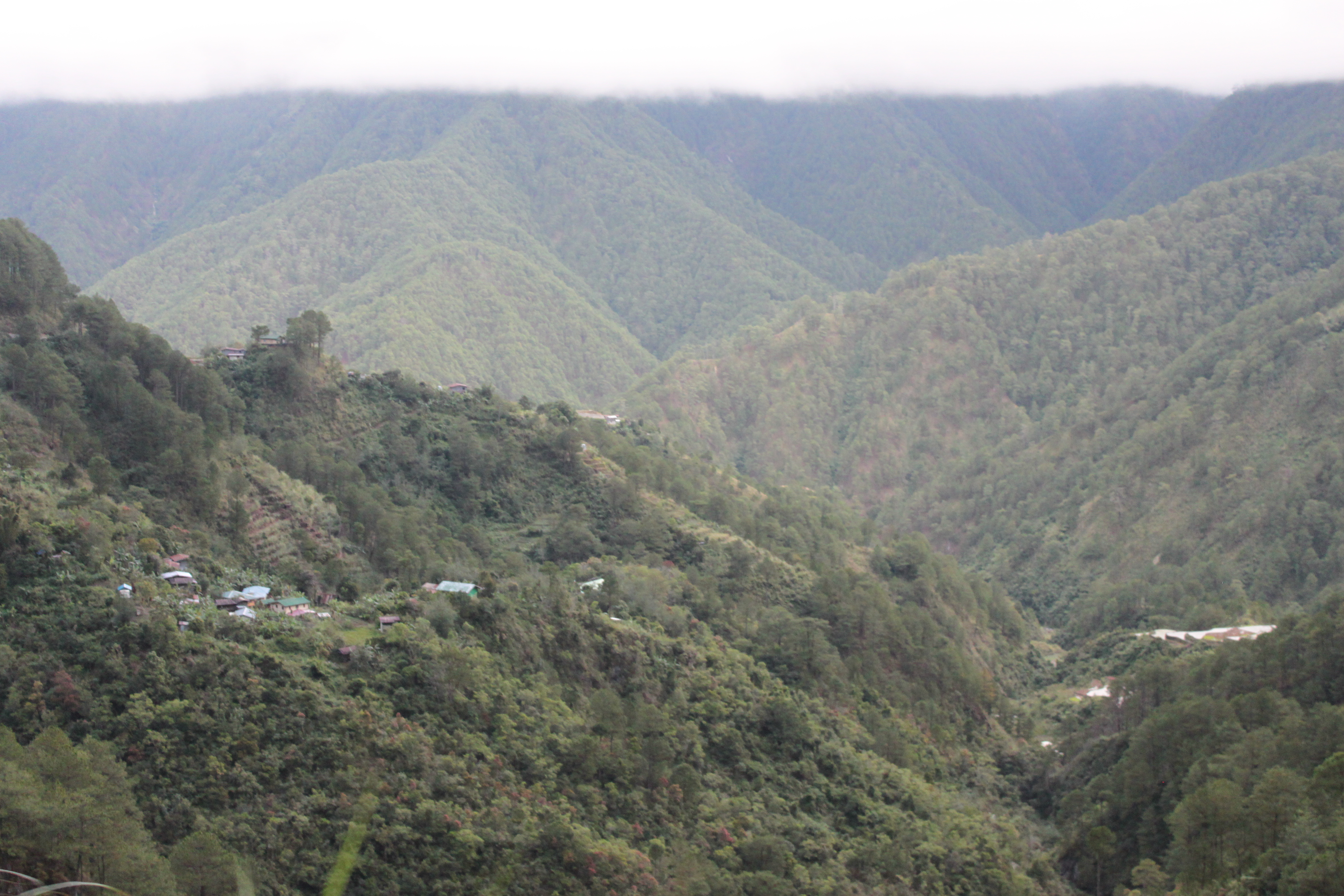
20150119-016
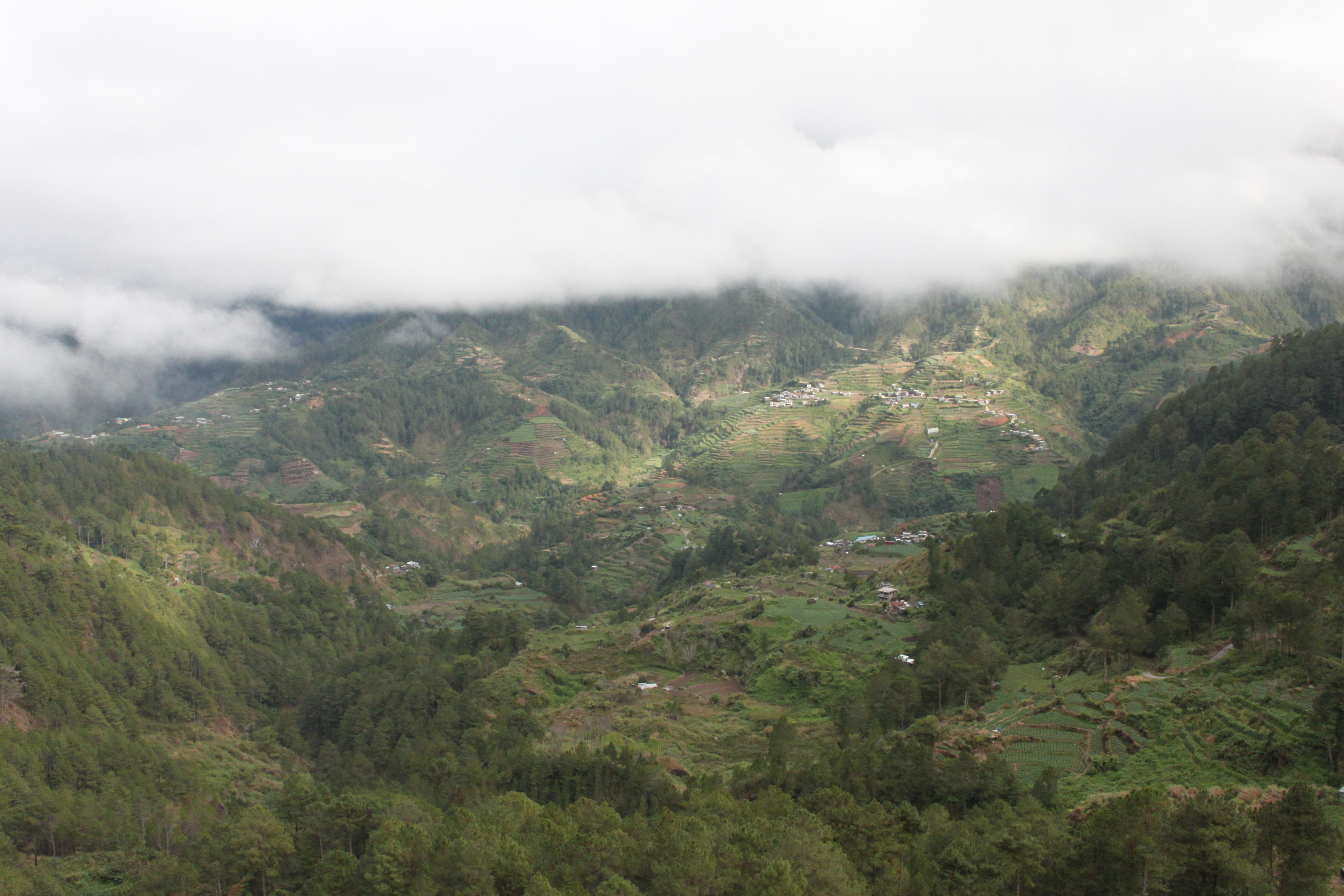
20150119-013

terraces by the side of the highway 8
Topographic Map of Sinto Elementary School, Sinto, Bauko, Mountain Province, Philippines
Find elevation by address:

Places near Sinto Elementary School, Sinto, Bauko, Mountain Province, Philippines:
Mount Data Hotel
Sinto
Mount Data Road
Monamon Sur Barangay Hall
Cotcot, Talabis, Elementary School
Binaka Roman Catholic Church
Balili
Monamon Norte Elementary School
Balili National High School
Calamagan
Loo
Guinaoang
Abatan
Tabio
Loo Elementary School Basketball Court
Cabacab Elementary School - Annex (cada)
Am-am Elementary School
Balili Elementary School
Guinaoang Elementary School
Lepanto
Recent Searches:
- Elevation of Rojo Ct, Atascadero, CA, USA
- Elevation of Flagstaff Drive, Flagstaff Dr, North Carolina, USA
- Elevation of Avery Ln, Lakeland, FL, USA
- Elevation of Woolwine, VA, USA
- Elevation of Lumagwas Diversified Farmers Multi-Purpose Cooperative, Lumagwas, Adtuyon, RV32+MH7, Pangantucan, Bukidnon, Philippines
- Elevation of Homestead Ridge, New Braunfels, TX, USA
- Elevation of Orchard Road, Orchard Rd, Marlborough, NY, USA
- Elevation of 12 Hutchinson Woods Dr, Fletcher, NC, USA
- Elevation of Holloway Ave, San Francisco, CA, USA
- Elevation of Norfolk, NY, USA