Elevation of Aoimachi, Kurayoshi-shi, Tottori-ken -, Japan
Location: Japan > Tottori Prefecture > Kurayoshi >
Longitude: 133.825561
Latitude: 35.4301822
Elevation: 27m / 89feet
Barometric Pressure: 101KPa
Elevation Map:
Satellite Map:
Related Photos:
On this day in 2009
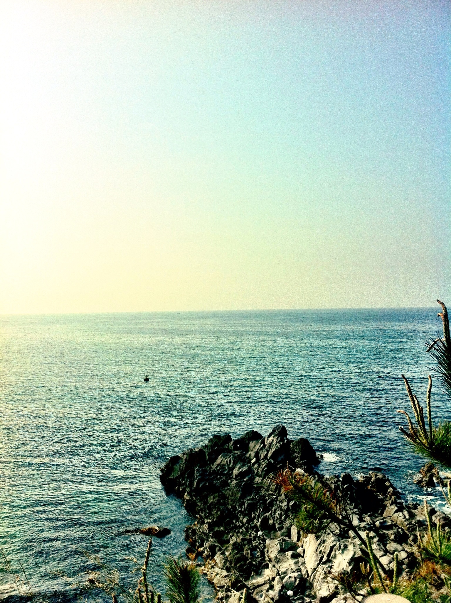
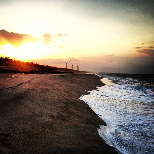
Sea View
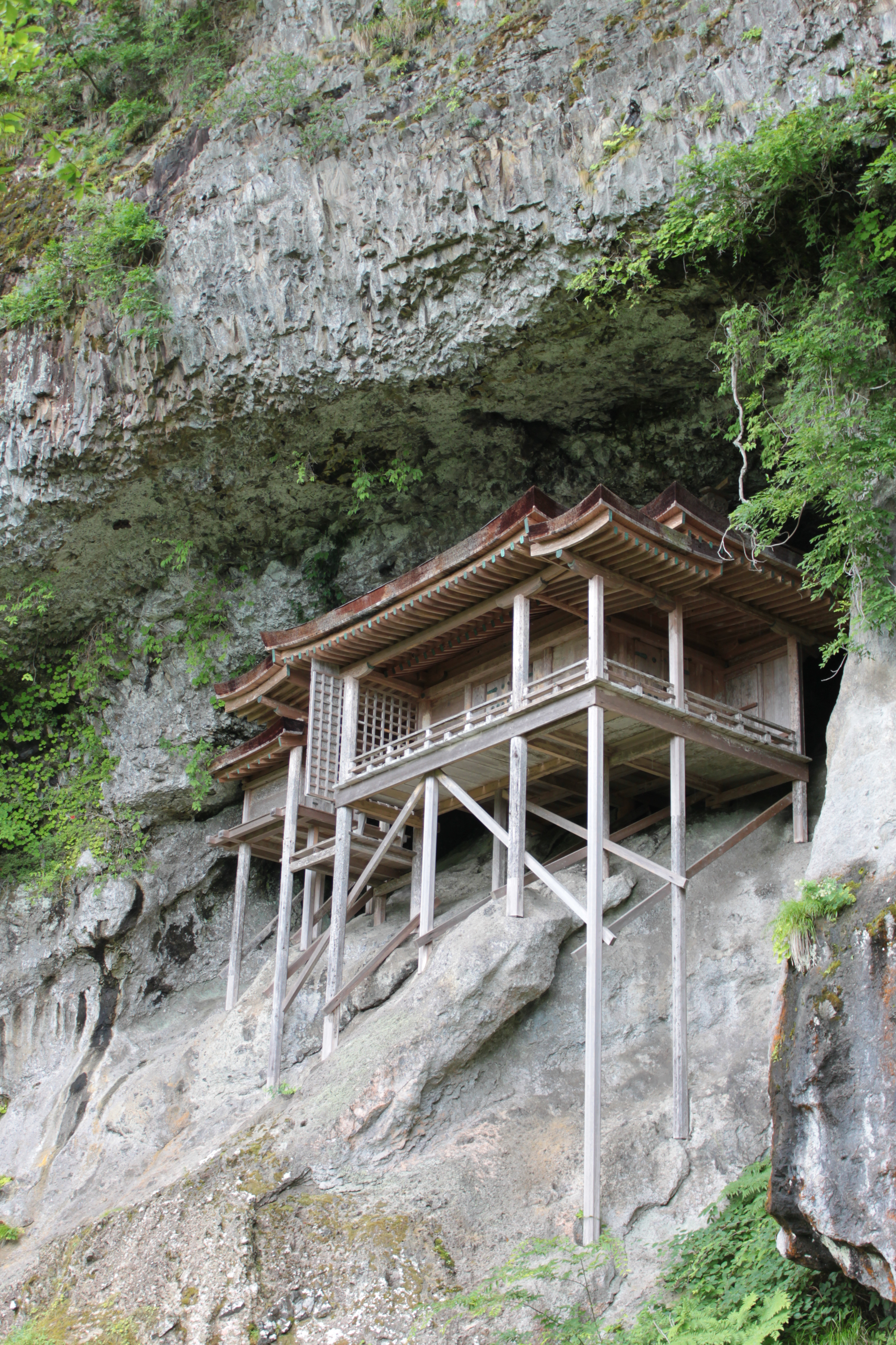
Sanbutsu-ji Temple, Nageire-dou / 三徳山三仏寺投入堂
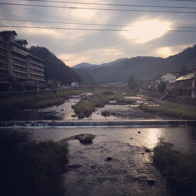
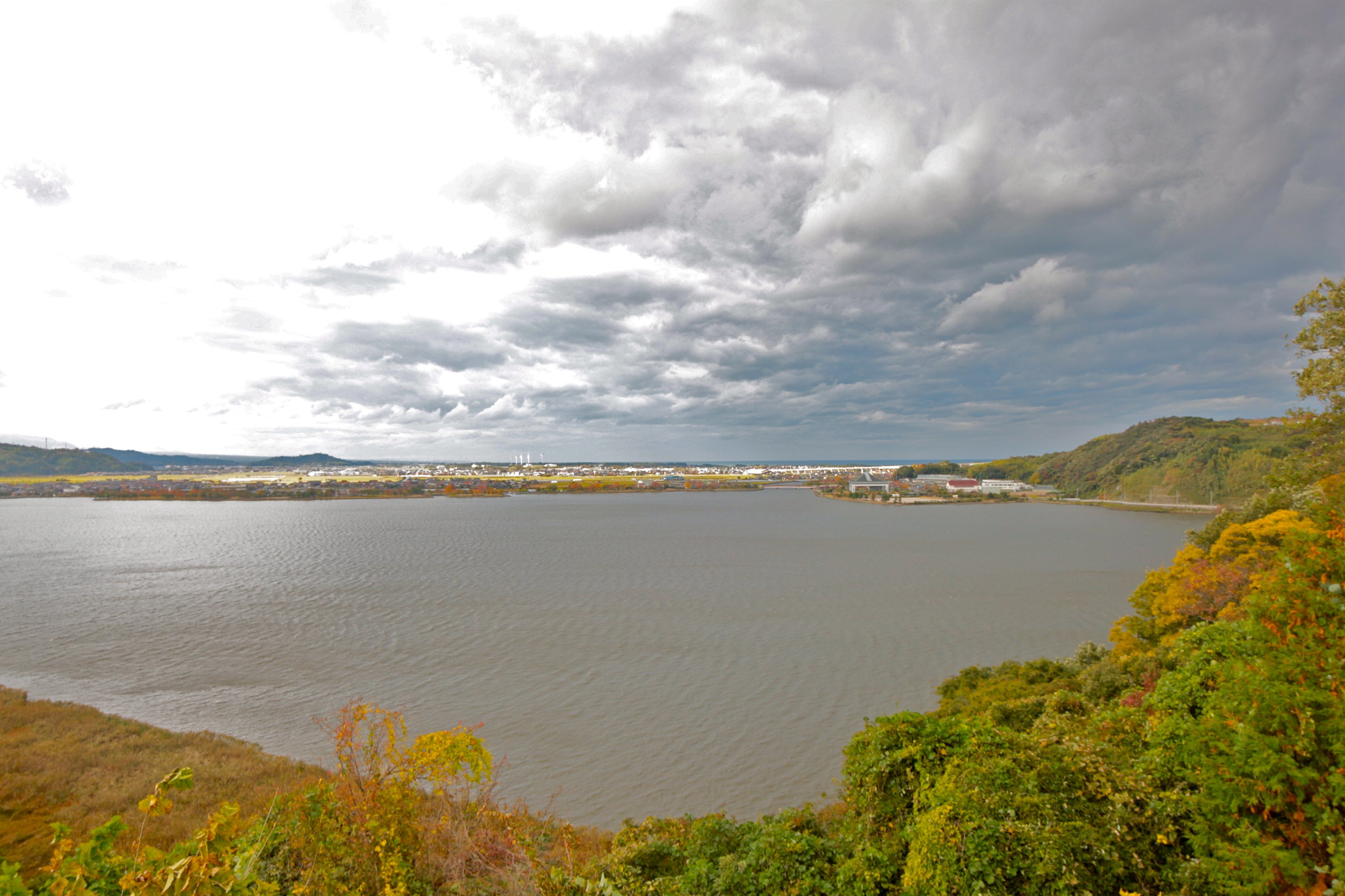
View on lake Togo and sea of Japan
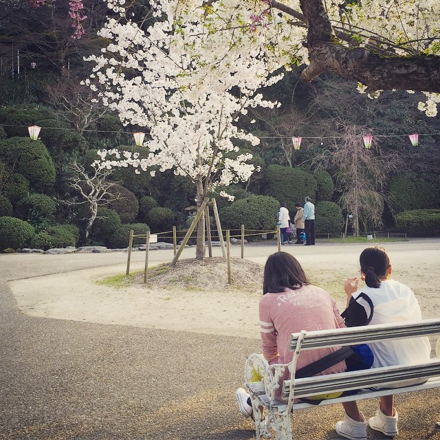
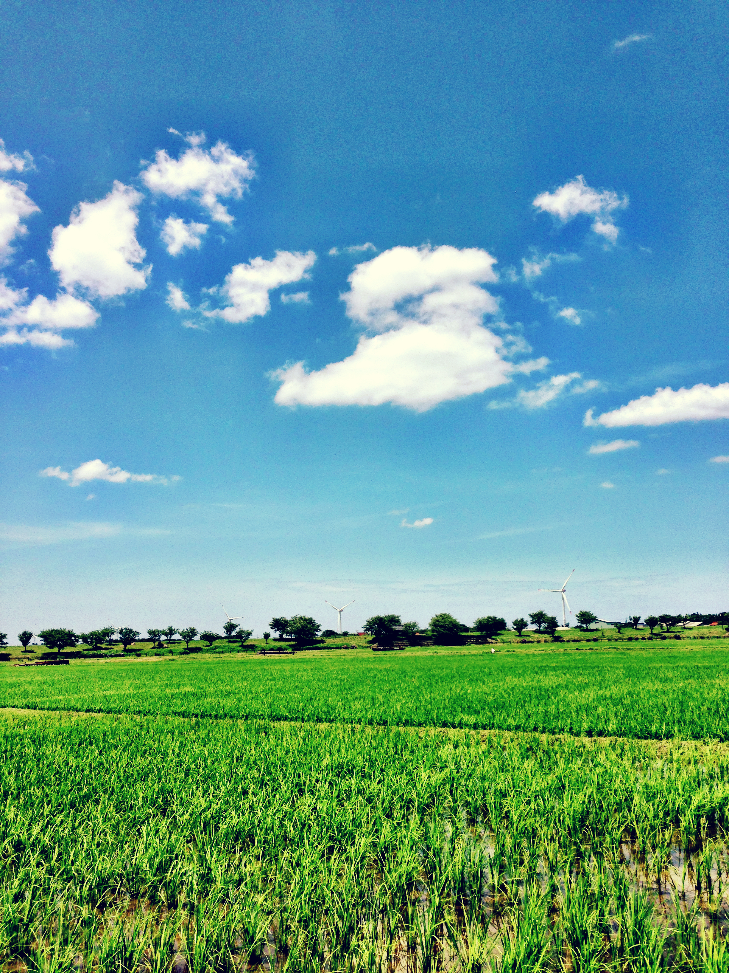
Spring View #倉吉 #打吹公園
sunset in HAWAI (not HAWAII)

海が見えた
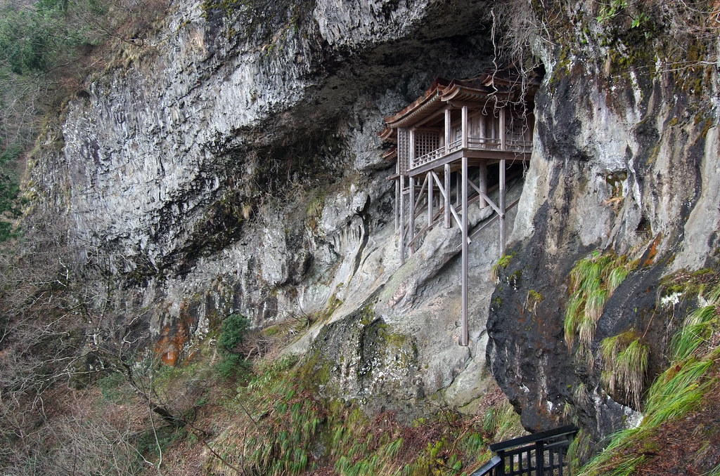
NAGEIREDO, SANBUTSU-JI: Misasa, Tottori, 1076-1100
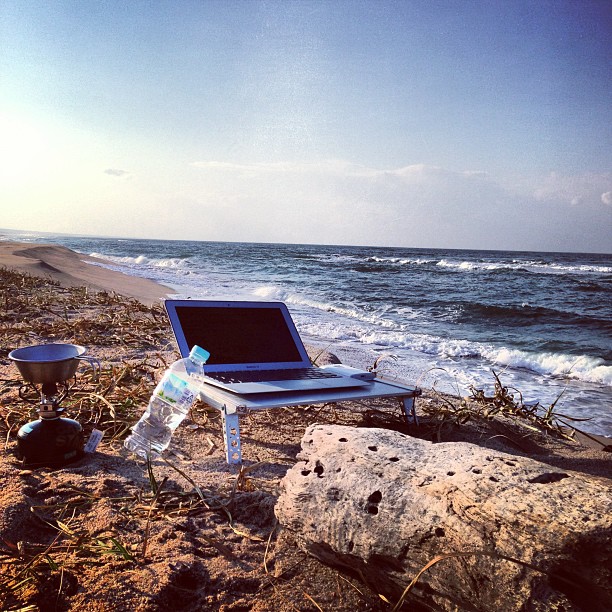
これが超ノマドワークスタイル
朝〜。

Non titled.
Blue and Green
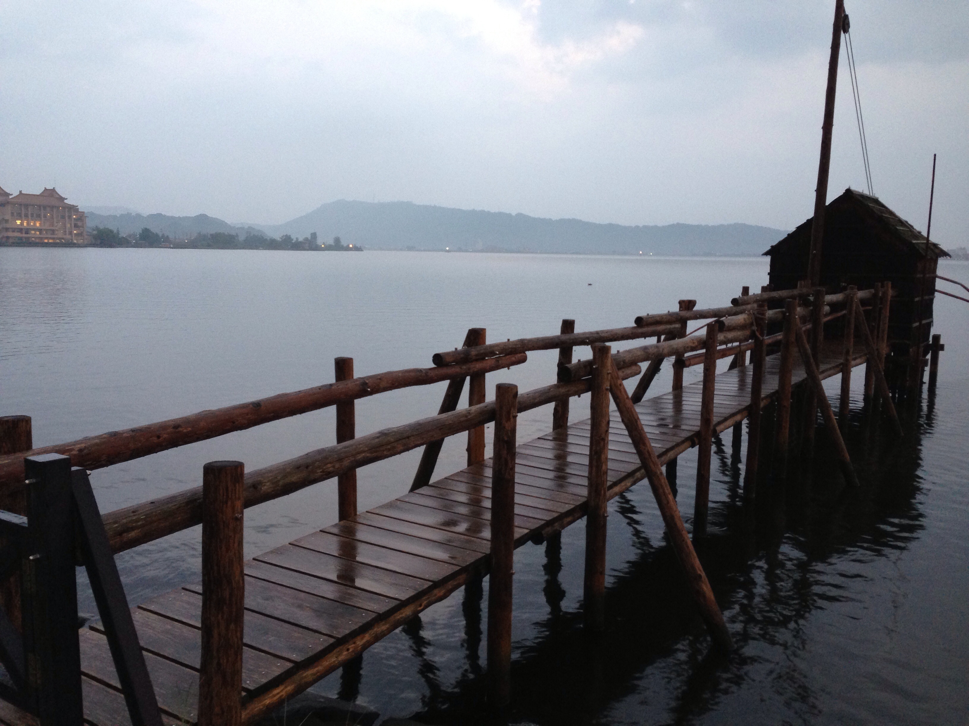
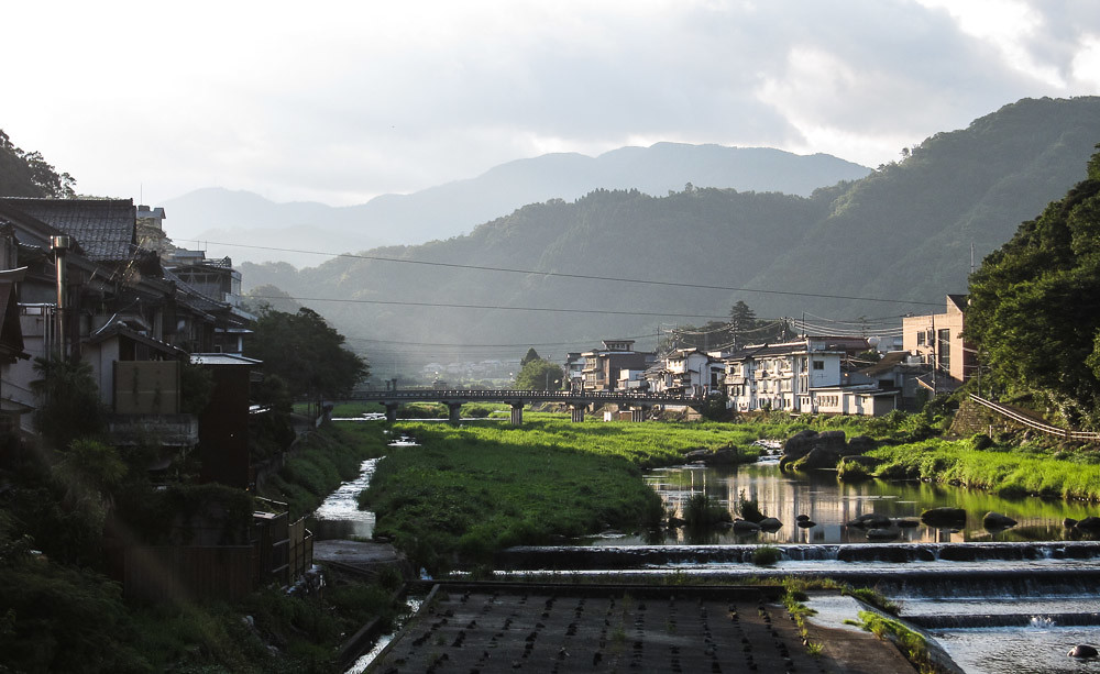
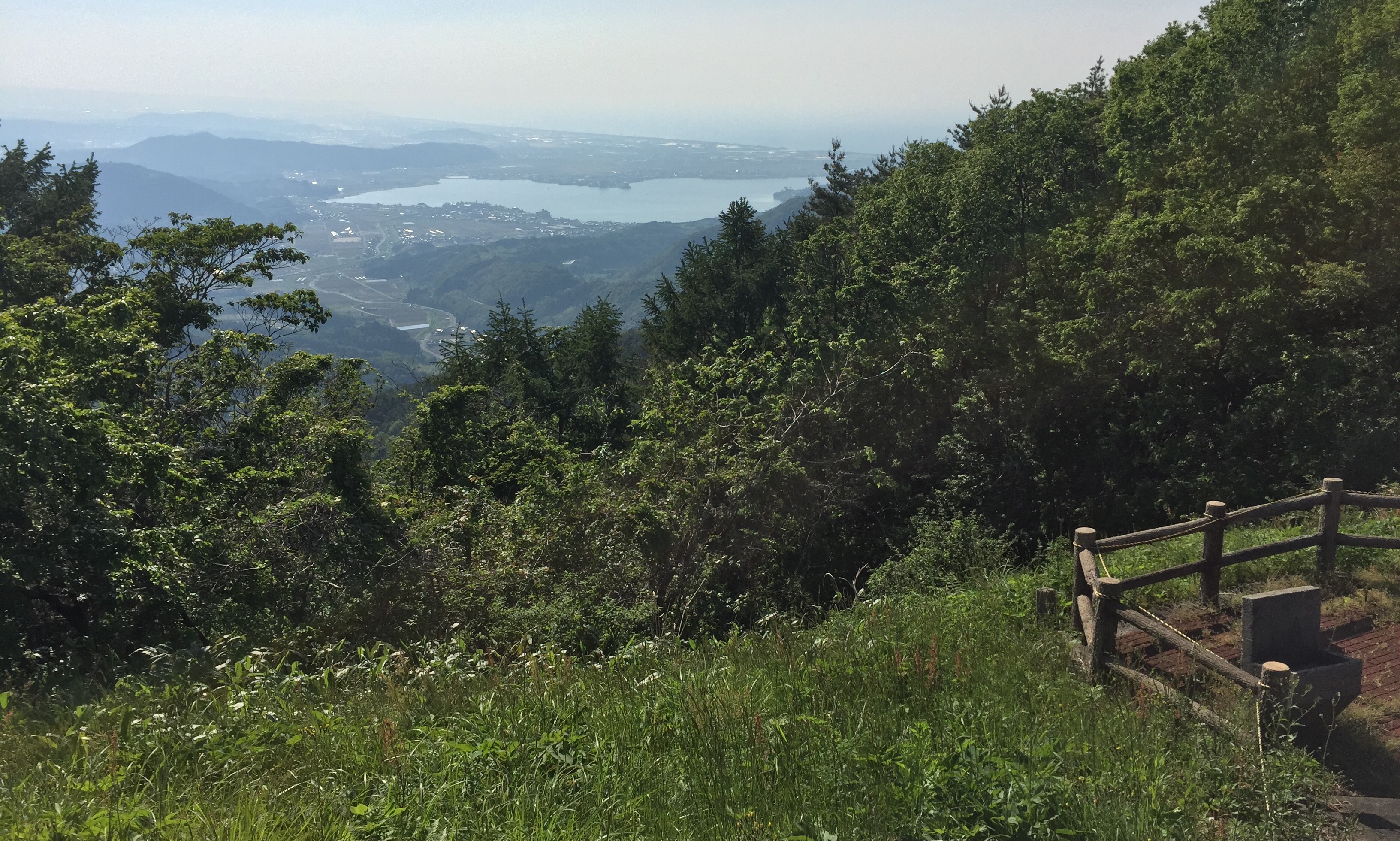
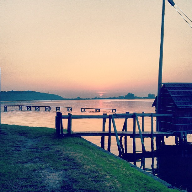
東郷池
Hoping for a sunny Tuesday on a rainy Sunday ☔️☁️☔️ #vscocam #okayama #japan #岡山県立森林公園
潮の満ち具合が時間の経過を教えてくれます。超ノマド万歳!って日本海寒っっ!!
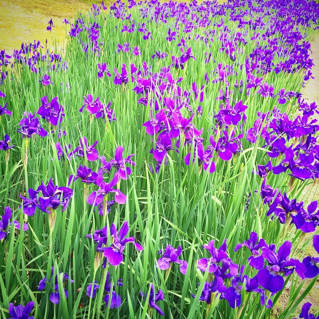
Ayame #あやめ池公園 #鳥取県
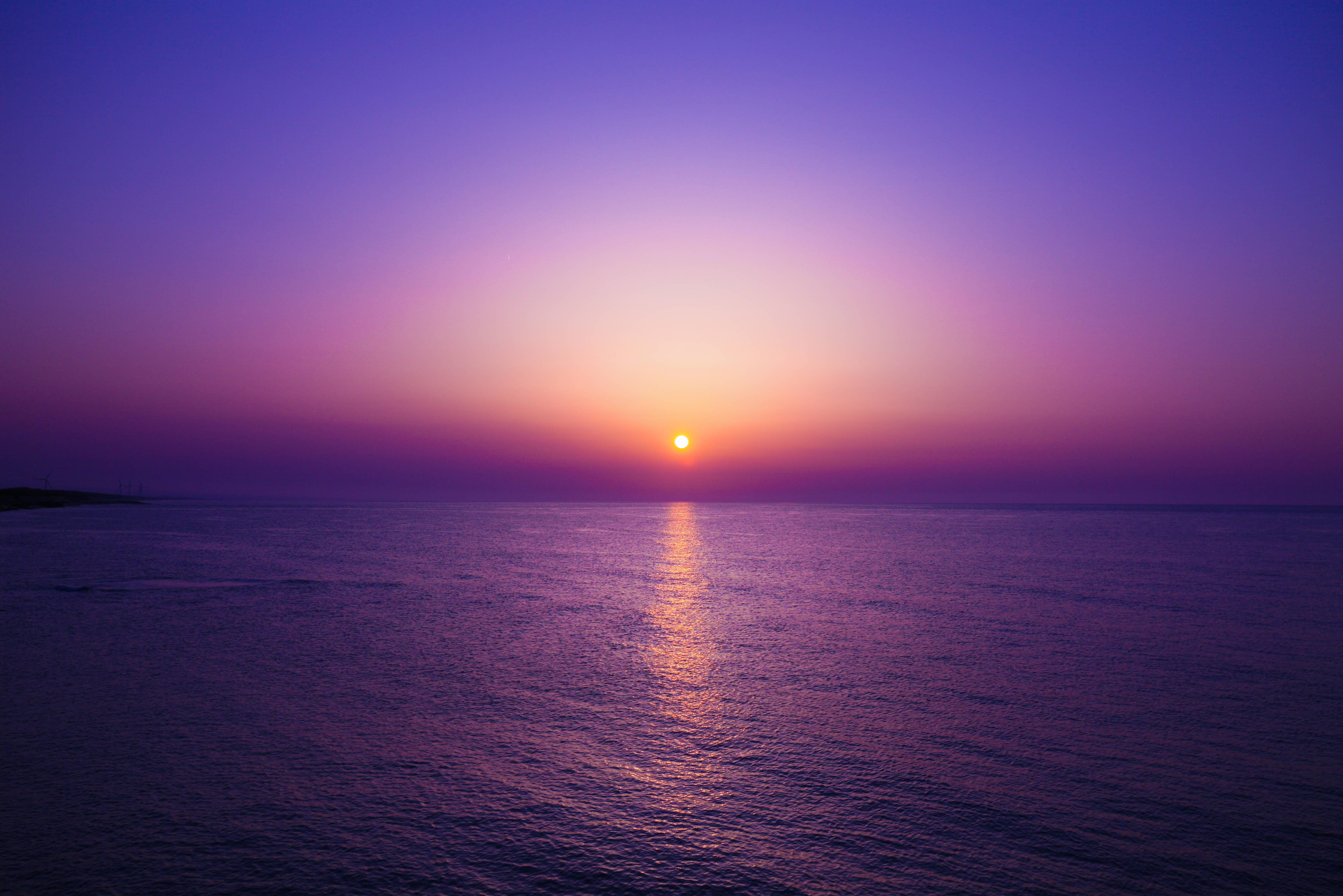
Tottori sunset from Togo lake
On this day in 2011
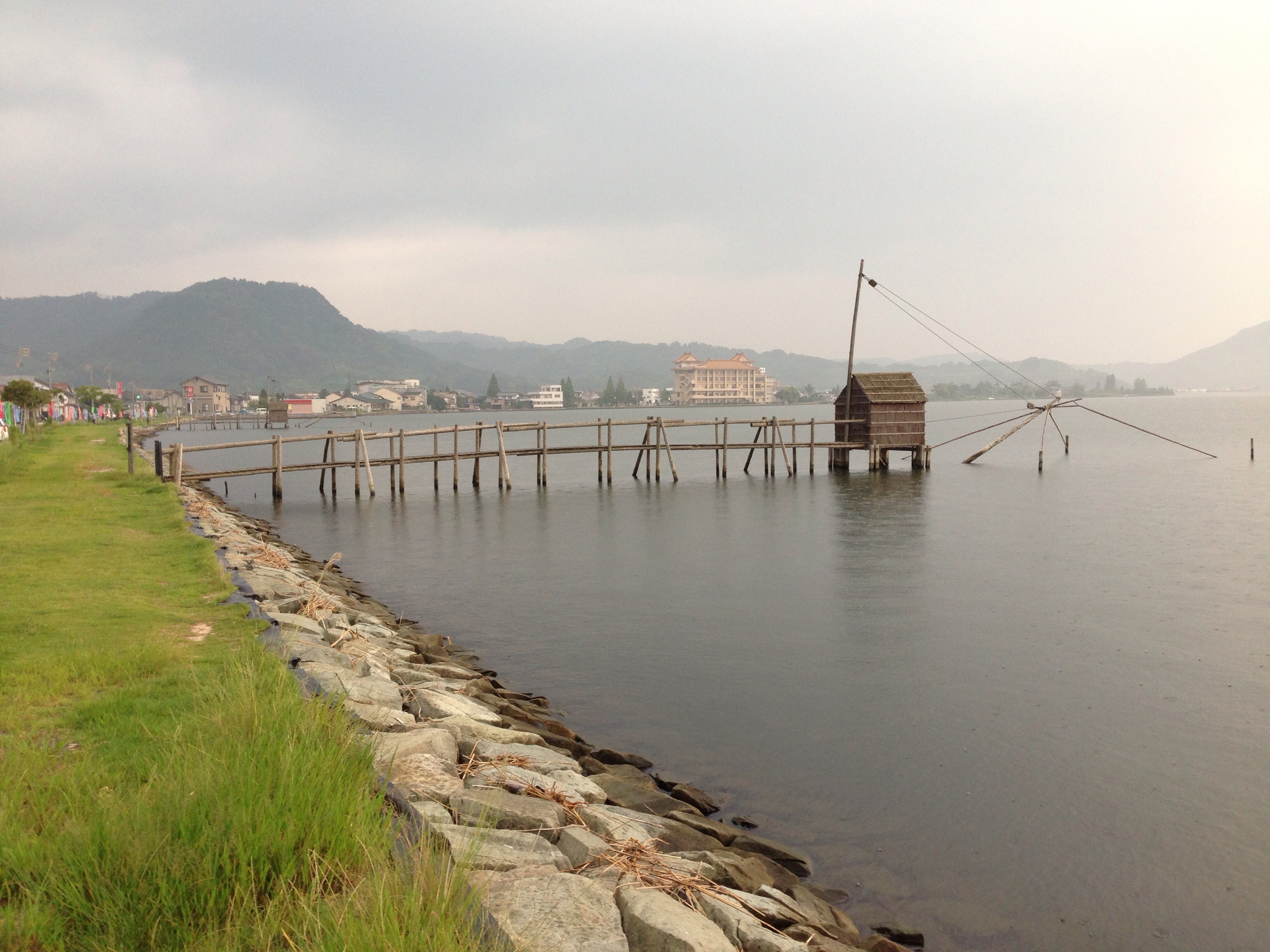
東郷池

おはようございます!Good morning! Bonjour!
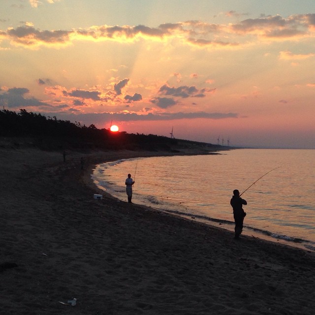
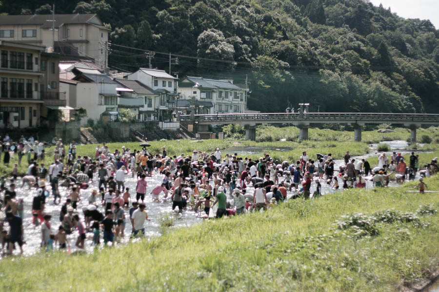
今日のフィッシャーマン
東郷池_4

ハワイ_5
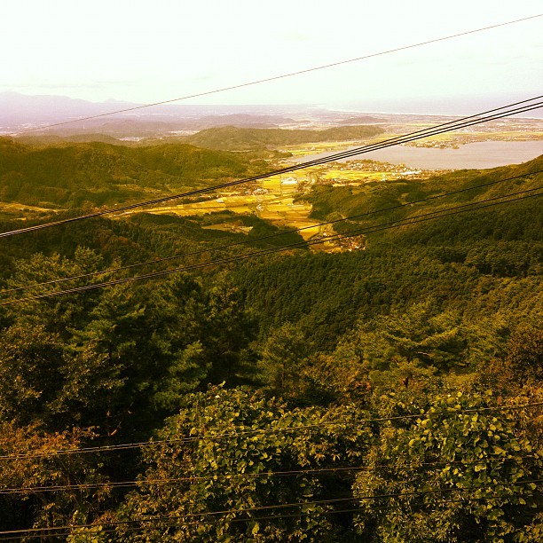
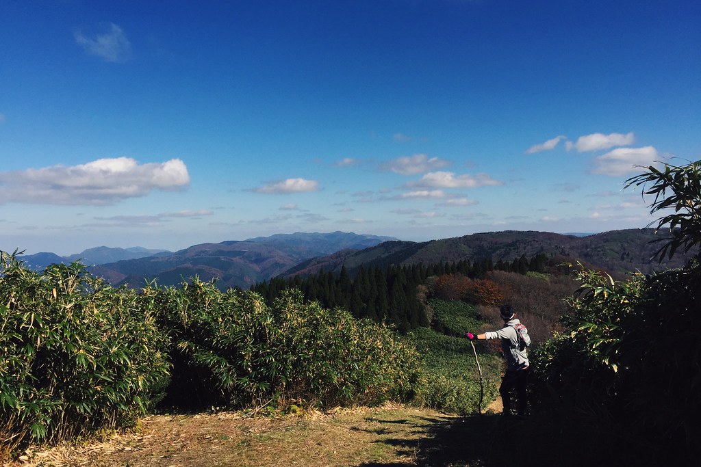
From the top of the Hachibuse mountain
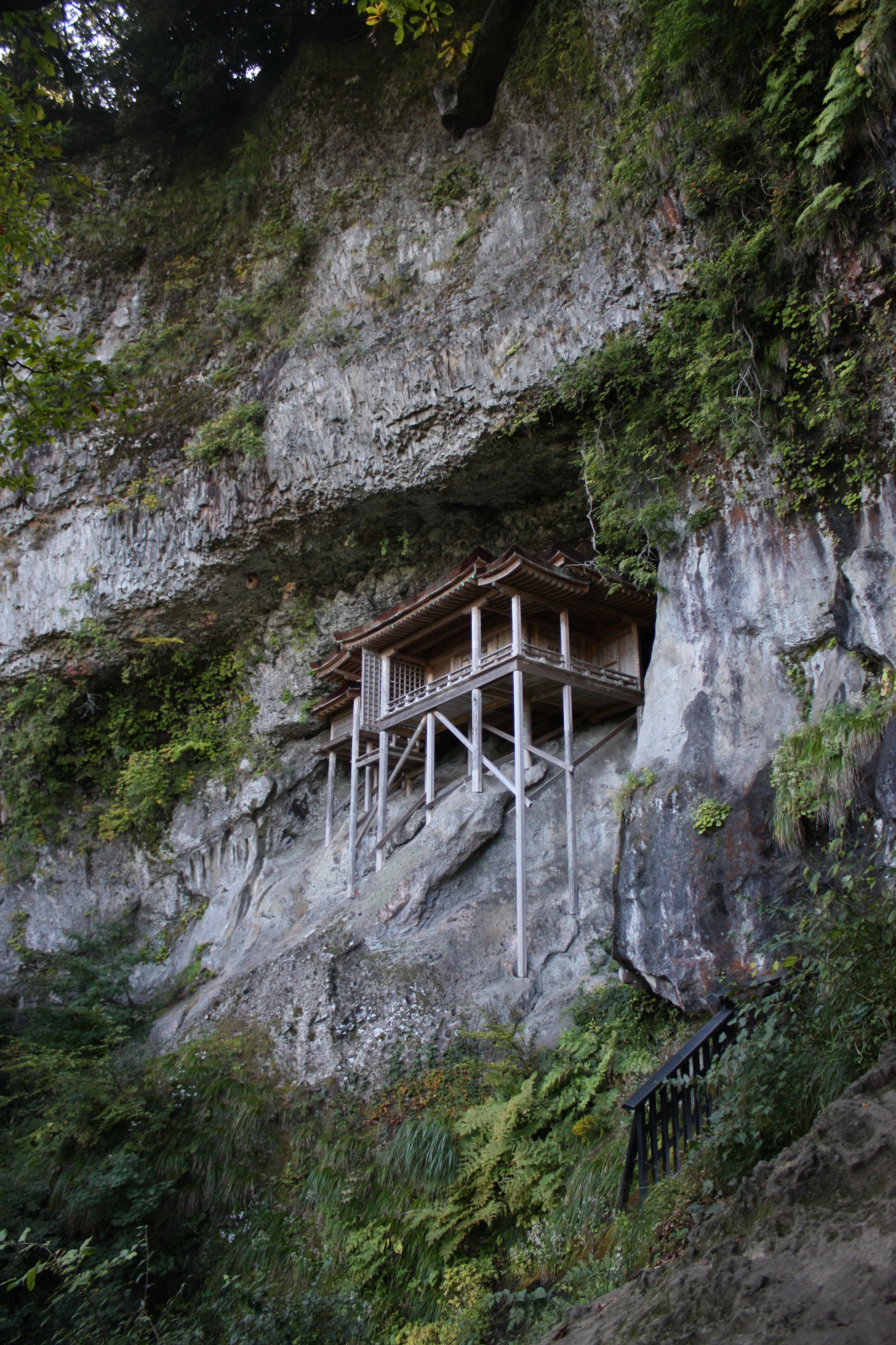
三徳山三佛寺投入堂
Topographic Map of Aoimachi, Kurayoshi-shi, Tottori-ken -, Japan
Find elevation by address:

Places in Aoimachi, Kurayoshi-shi, Tottori-ken -, Japan:
Places near Aoimachi, Kurayoshi-shi, Tottori-ken -, Japan:
Kurayoshi
倉吉市役所本庁舎
1 Chome- Ageichō, Kurayoshi-shi, Tottori-ken -, Japan
三朝町総合文化ホール
999 Ōze
Misasa
Yurihama
Tohaku District
Tsuga, Misasa-chō, Tōhaku-gun, Tottori-ken -, Japan
1 Ōze, Misasa-chō, Tōhaku-gun, Tottori-ken -, Japan
Fujitsu, Yurihama-chō, Tōhaku-gun, Tottori-ken -, Japan
-6 Tomari, Yurihama-chō, Tōhaku-gun, Tottori-ken -, Japan
Kotoura
Urayasu, Kotoura-chō, Tōhaku-gun, Tottori-ken -, Japan
Aoyachō Nagawase, Tottori-shi, Tottori-ken -, Japan
Aoyachō Ide, Tottori-shi, Tottori-ken -, Japan
Aoyachō Aoya, Tottori-shi, Tottori-ken -, Japan
Hiruzen
Hiruzenkaminagata, Maniwa-shi, Okayama-ken -, Japan
Akasaki, Kotoura-chō, Tōhaku-gun, Tottori-ken -, Japan
Recent Searches:
- Elevation of SW 57th Ave, Portland, OR, USA
- Elevation of Crocker Dr, Vacaville, CA, USA
- Elevation of Pu Ngaol Community Meeting Hall, HWHM+3X7, Krong Saen Monourom, Cambodia
- Elevation of Royal Ontario Museum, Queens Park, Toronto, ON M5S 2C6, Canada
- Elevation of Groblershoop, South Africa
- Elevation of Power Generation Enterprises | Industrial Diesel Generators, Oak Ave, Canyon Country, CA, USA
- Elevation of Chesaw Rd, Oroville, WA, USA
- Elevation of N, Mt Pleasant, UT, USA
- Elevation of 6 Rue Jules Ferry, Beausoleil, France
- Elevation of Sattva Horizon, 4JC6+G9P, Vinayak Nagar, Kattigenahalli, Bengaluru, Karnataka, India