Elevation of Akasaki, Kotoura-chō, Tōhaku-gun, Tottori-ken -, Japan
Longitude: 133.633963
Latitude: 35.5165398
Elevation: 15m / 49feet
Barometric Pressure: 101KPa
Elevation Map:
Satellite Map:
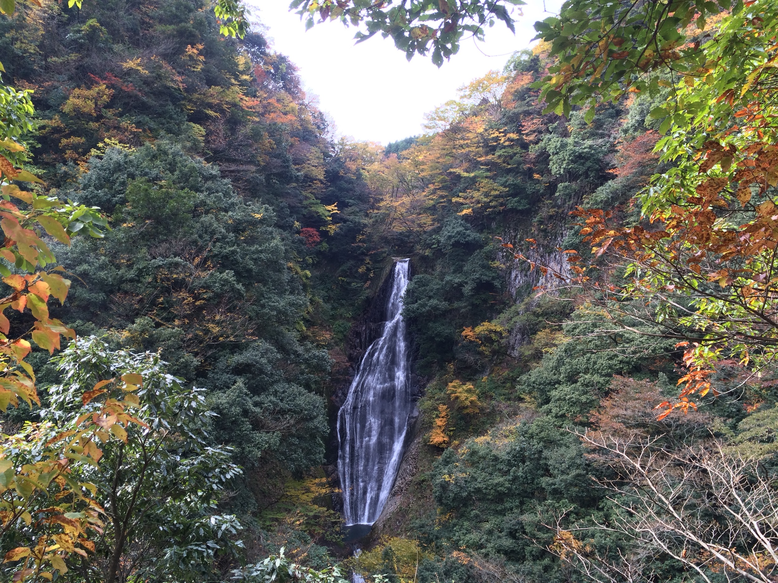
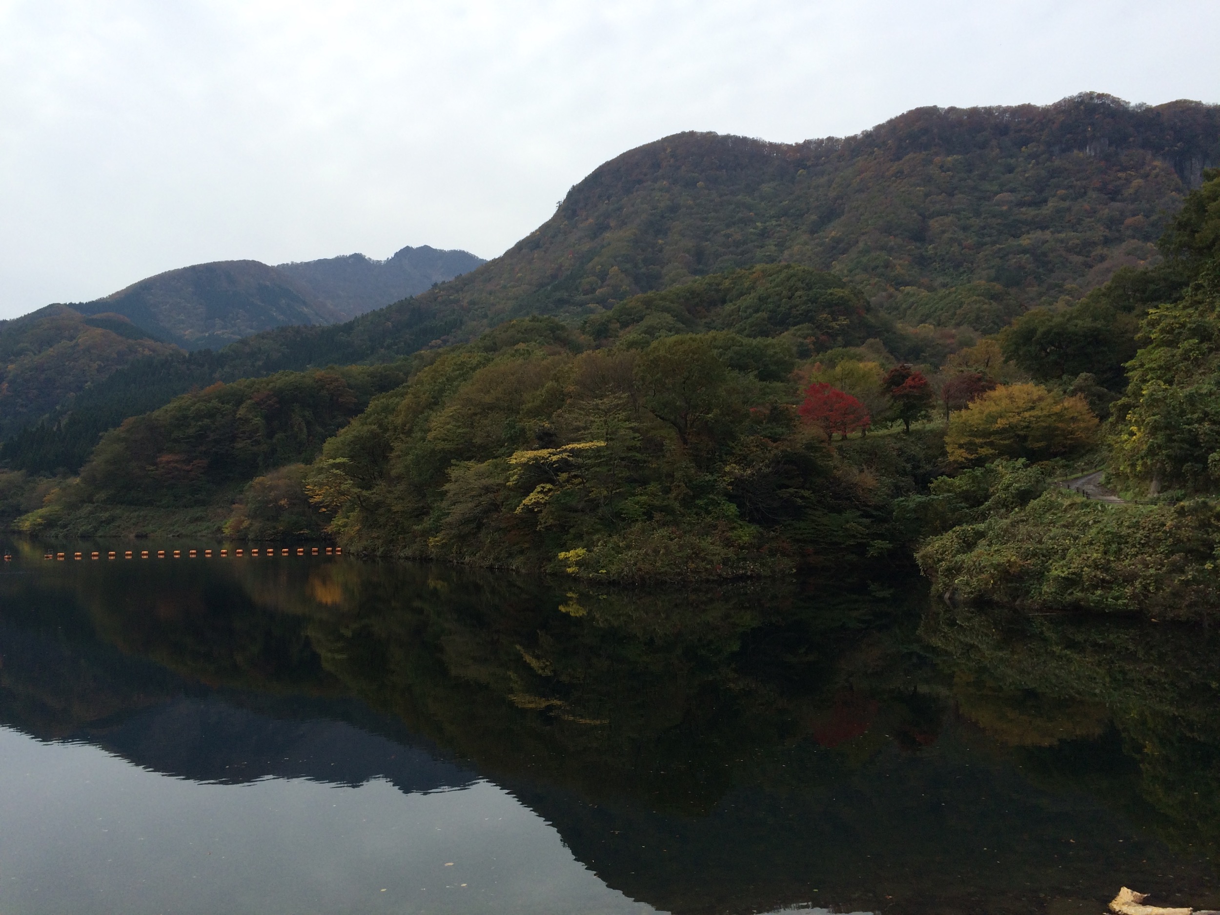
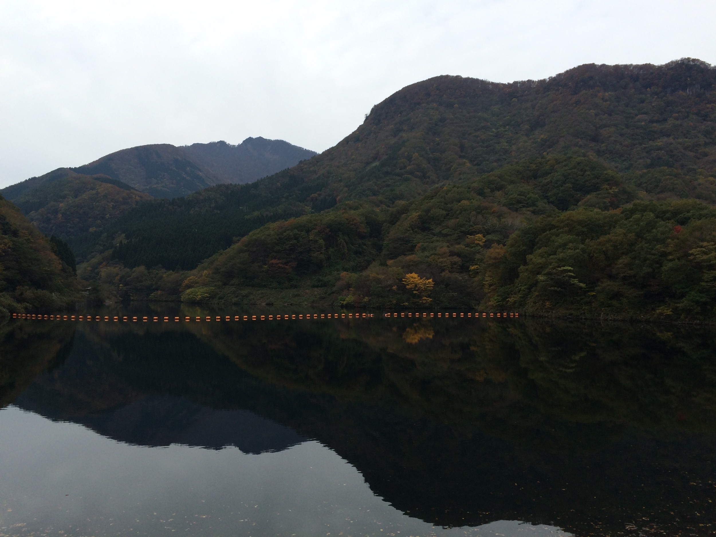
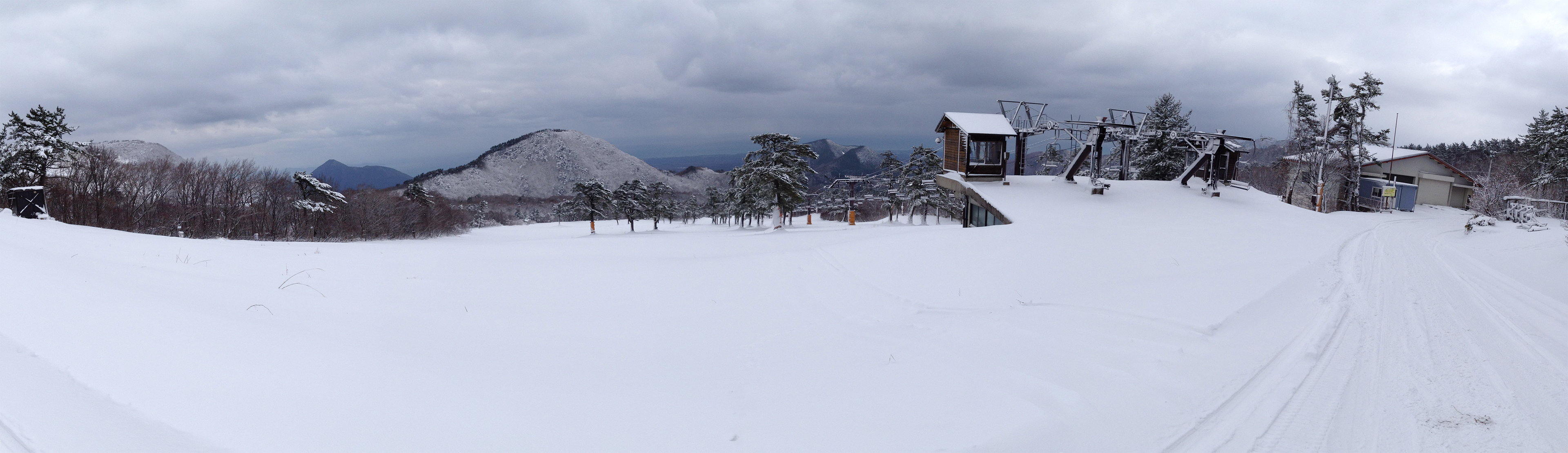
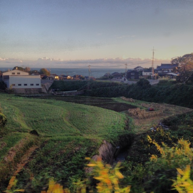
Related Photos:
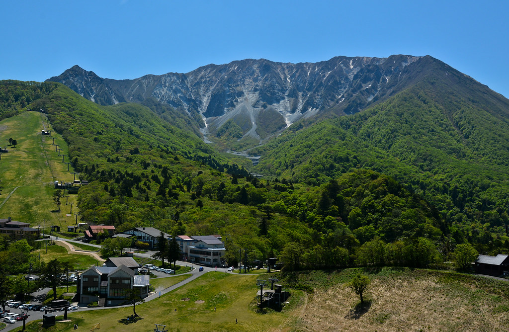
Mt.Daisen Perfect View 2
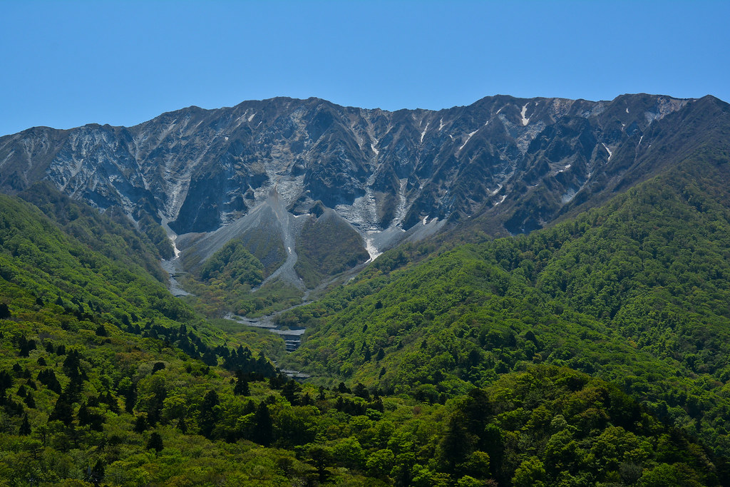
Mt.Daisen Perfect View

石がカラカラ鳴る浜辺で♪( ´▽`)
winter-spring 2013-14

20140112_071956_iPhone 4S_5.1.1
すべての写真-6775

201510 - Japon - 0041.jpg
すべての写真-6752
すべての写真-6745

すべての写真-54
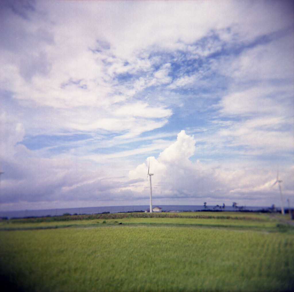
wind generators

20140111_091845_iPhone 4S_Adobe Photoshop CS6 (Windows)
すべての写真-6742
20131215_115116_iPhone 4S_Adobe Photoshop CS6 (Windows)
Clear blue sky this morning... I must be tired because this morning I first sat on the train going the opposite way... Realized my mistake just 1 minute before the train to go... #girigirisafe
Topographic Map of Akasaki, Kotoura-chō, Tōhaku-gun, Tottori-ken -, Japan
Find elevation by address:

Places near Akasaki, Kotoura-chō, Tōhaku-gun, Tottori-ken -, Japan:
Urayasu, Kotoura-chō, Tōhaku-gun, Tottori-ken -, Japan
Kotoura
Tohaku District
Hiruzen
722 Aoimachi
Kurayoshi
倉吉市役所本庁舎
1 Chome- Ageichō, Kurayoshi-shi, Tottori-ken -, Japan
Yurihama
Hiruzentomiyamane
Hiruzenkaminagata, Maniwa-shi, Okayama-ken -, Japan
三朝町総合文化ホール
999 Ōze
Misasa
Fujitsu, Yurihama-chō, Tōhaku-gun, Tottori-ken -, Japan
Tsuga, Misasa-chō, Tōhaku-gun, Tottori-ken -, Japan
1 Ōze, Misasa-chō, Tōhaku-gun, Tottori-ken -, Japan
-6 Tomari, Yurihama-chō, Tōhaku-gun, Tottori-ken -, Japan
Toyosaka, Maniwa-shi, Okayama-ken -, Japan
Aoyachō Nagawase, Tottori-shi, Tottori-ken -, Japan
Recent Searches:
- Elevation of Woodland Oak Pl, Thousand Oaks, CA, USA
- Elevation of Brownsdale Rd, Renfrew, PA, USA
- Elevation of Corcoran Ln, Suffolk, VA, USA
- Elevation of Mamala II, Sariaya, Quezon, Philippines
- Elevation of Sarangdanda, Nepal
- Elevation of 7 Waterfall Way, Tomball, TX, USA
- Elevation of SW 57th Ave, Portland, OR, USA
- Elevation of Crocker Dr, Vacaville, CA, USA
- Elevation of Pu Ngaol Community Meeting Hall, HWHM+3X7, Krong Saen Monourom, Cambodia
- Elevation of Royal Ontario Museum, Queens Park, Toronto, ON M5S 2C6, Canada