Elevation of -6 Tomari, Yurihama-chō, Tōhaku-gun, Tottori-ken -, Japan
Location: Japan > Tottori Prefecture > Tohaku District > Yurihama >
Longitude: 133.937242
Latitude: 35.5136278
Elevation: 1m / 3feet
Barometric Pressure: 101KPa
Elevation Map:
Satellite Map:
Related Photos:

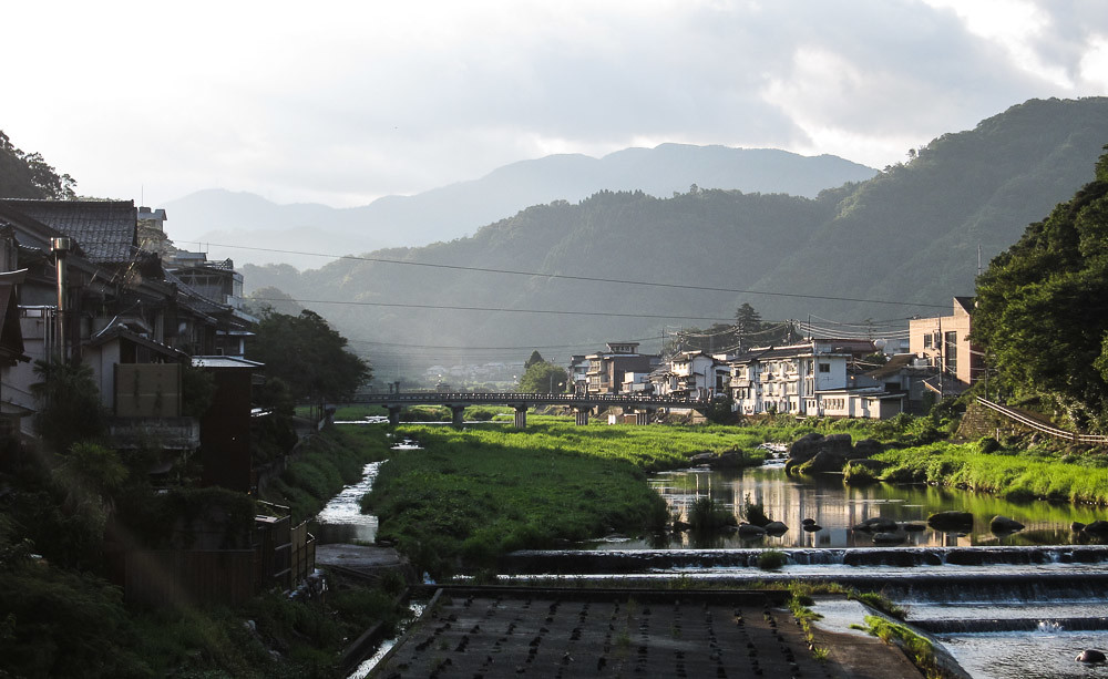
Hamamura, Tottori
On this day in 2009

Beautiful view from the ruin of Shikano Castle
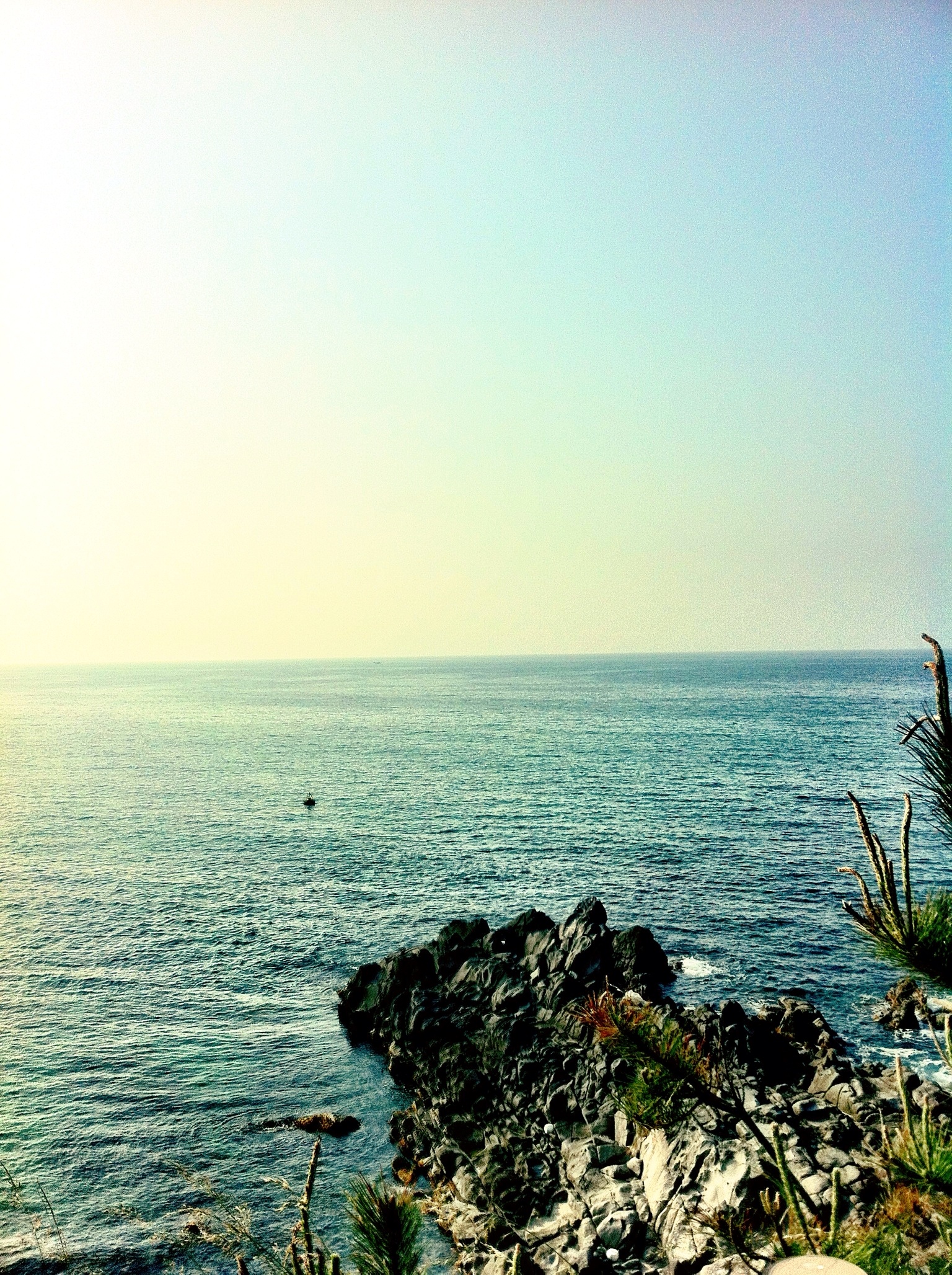
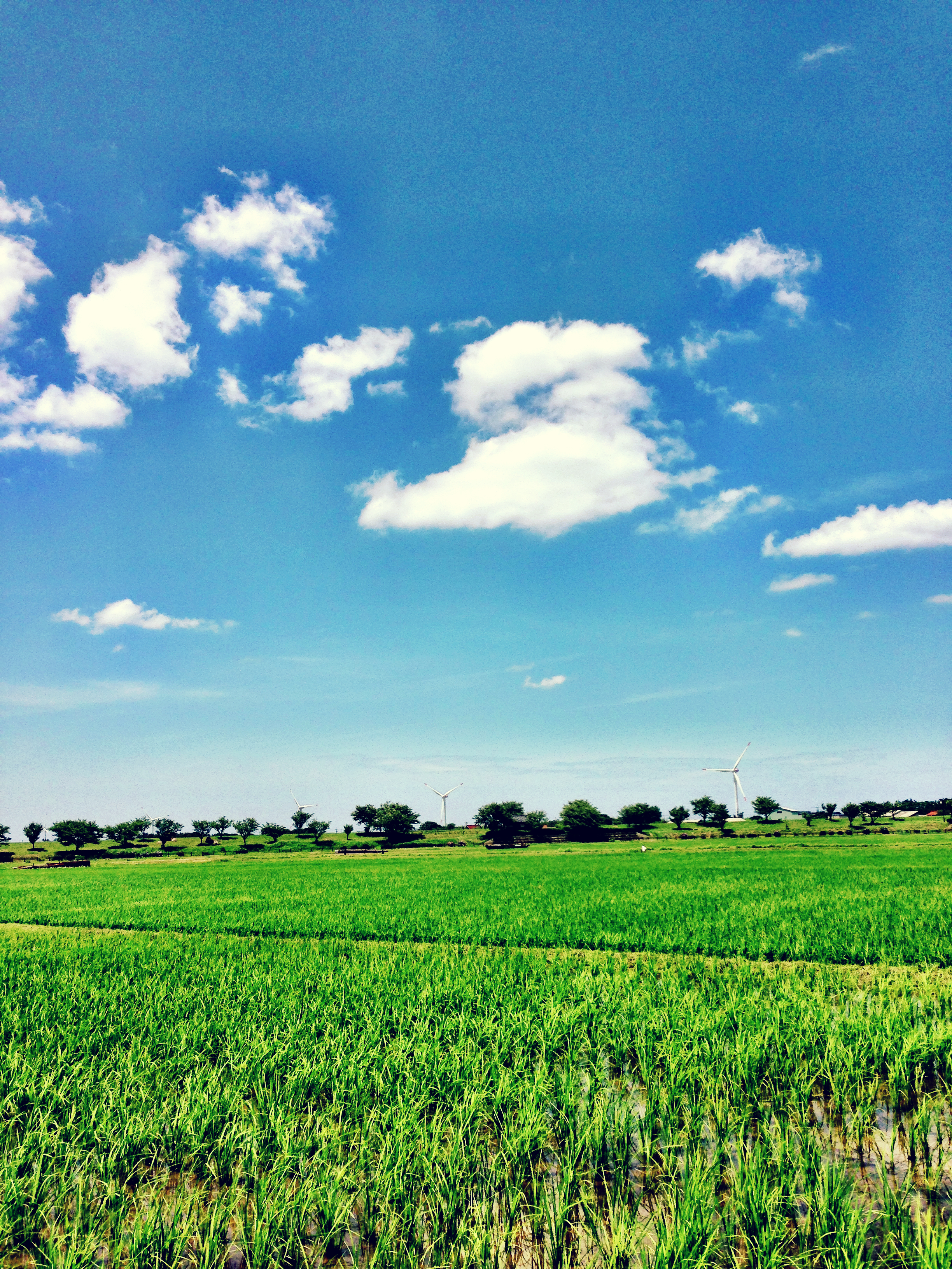
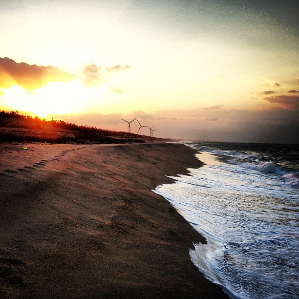
Sea View
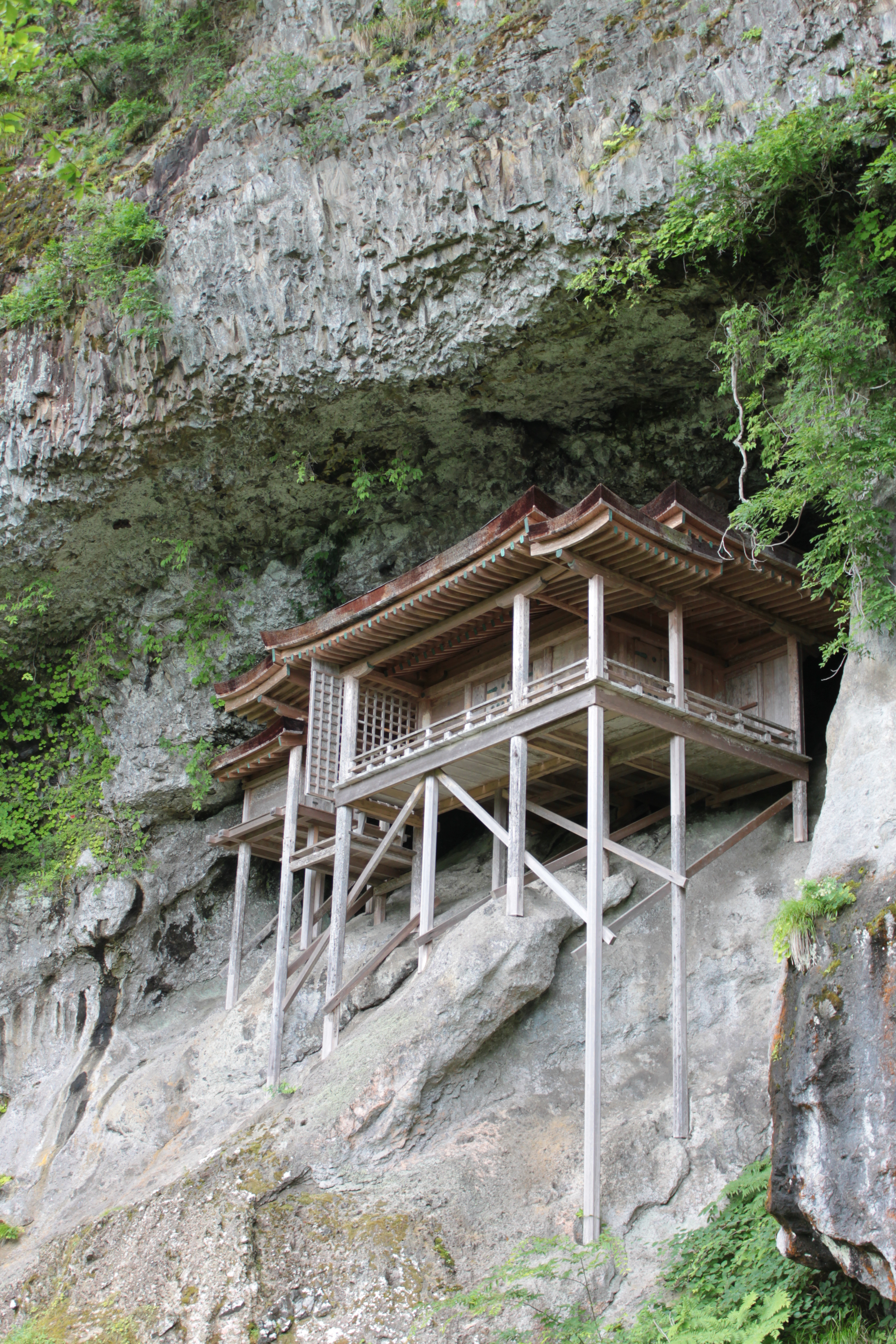
Sanbutsu-ji Temple, Nageire-dou / 三徳山三仏寺投入堂
View on lake Togo and sea of Japan
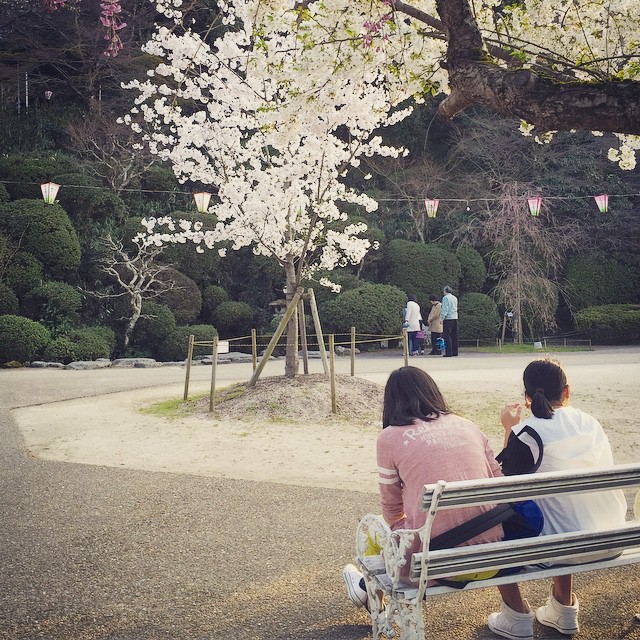
Spring View #倉吉 #打吹公園

sunset in HAWAI (not HAWAII)
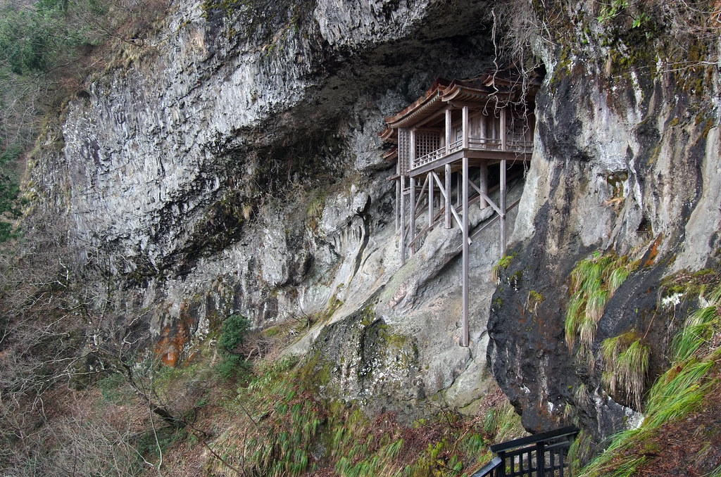
NAGEIREDO, SANBUTSU-JI: Misasa, Tottori, 1076-1100

これが超ノマドワークスタイル
朝〜。
Blue and Green

Non titled.
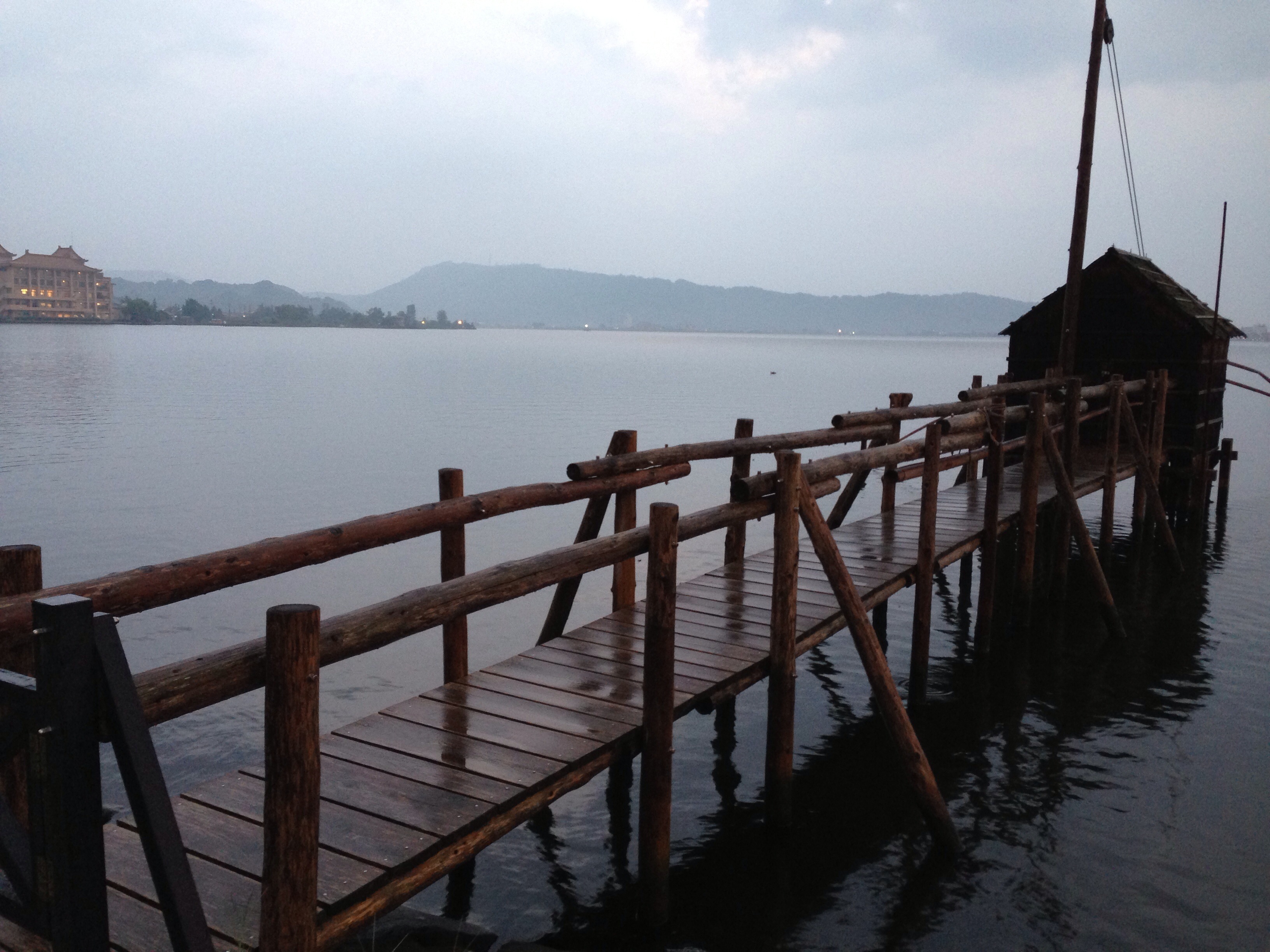
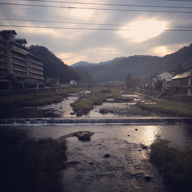
東郷池
潮の満ち具合が時間の経過を教えてくれます。超ノマド万歳!って日本海寒っっ!!
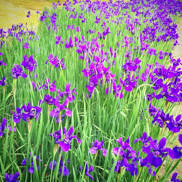
Ayame #あやめ池公園 #鳥取県

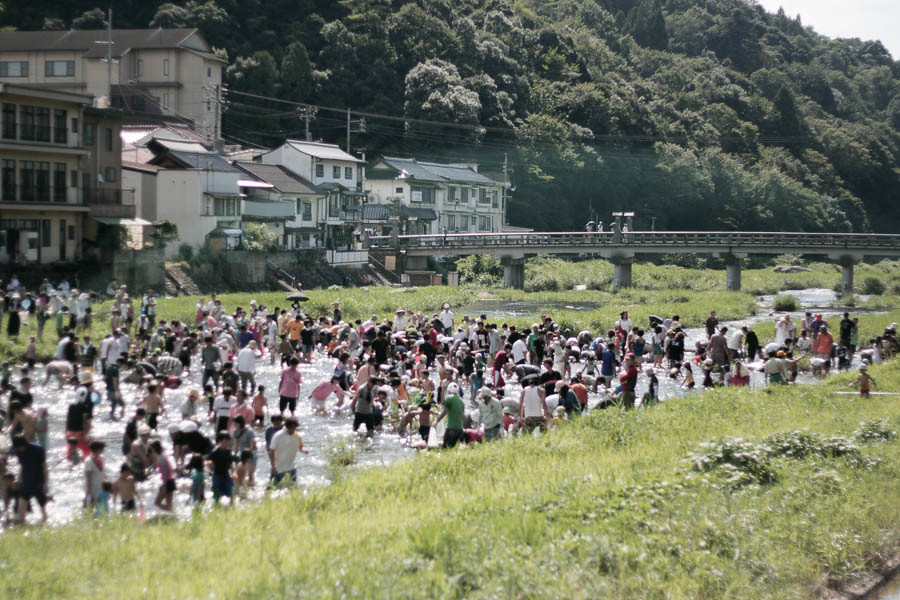
今日のフィッシャーマン
On this day in 2011
東郷池

おはようございます!Good morning! Bonjour!
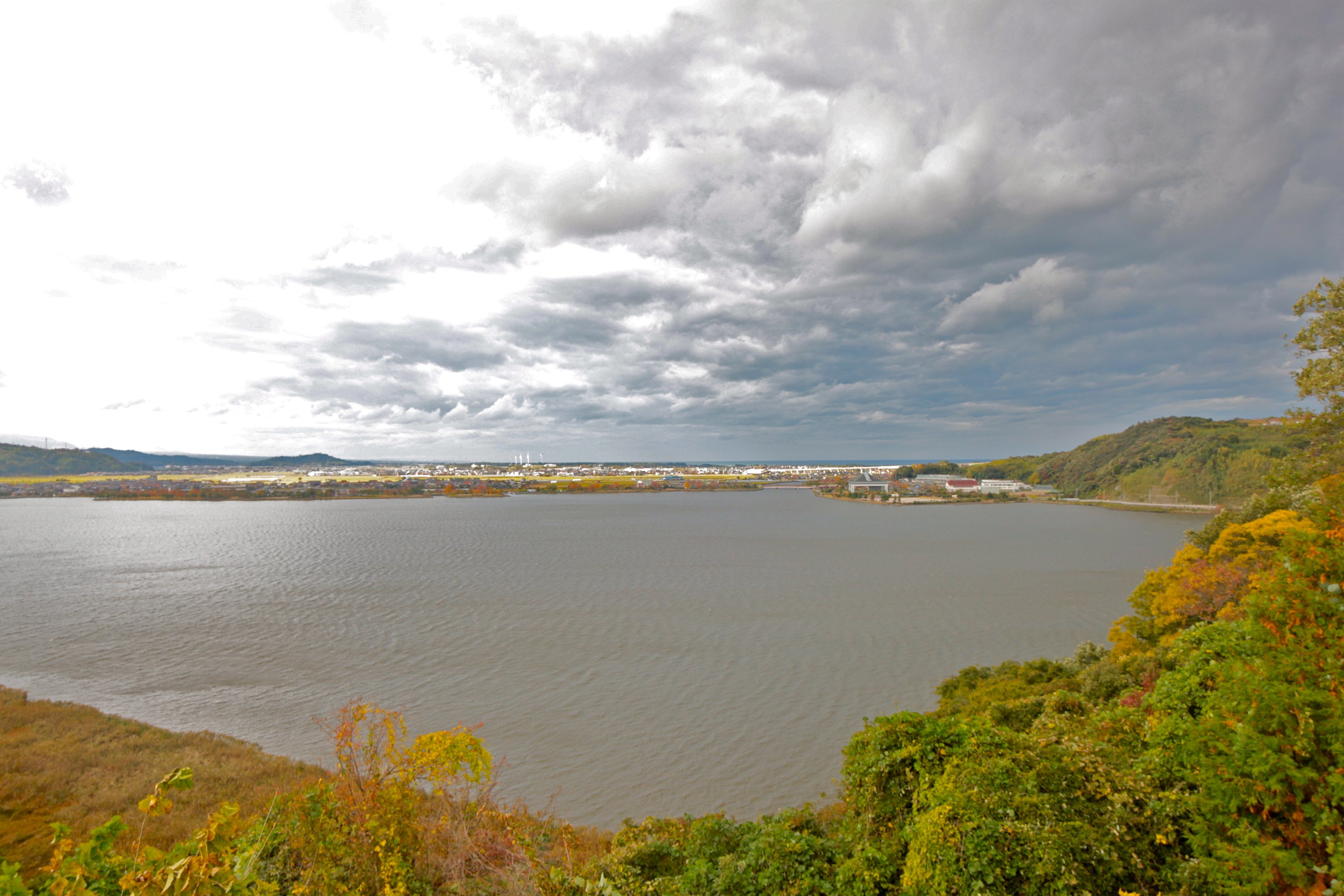
東郷池_4

ハワイ_5
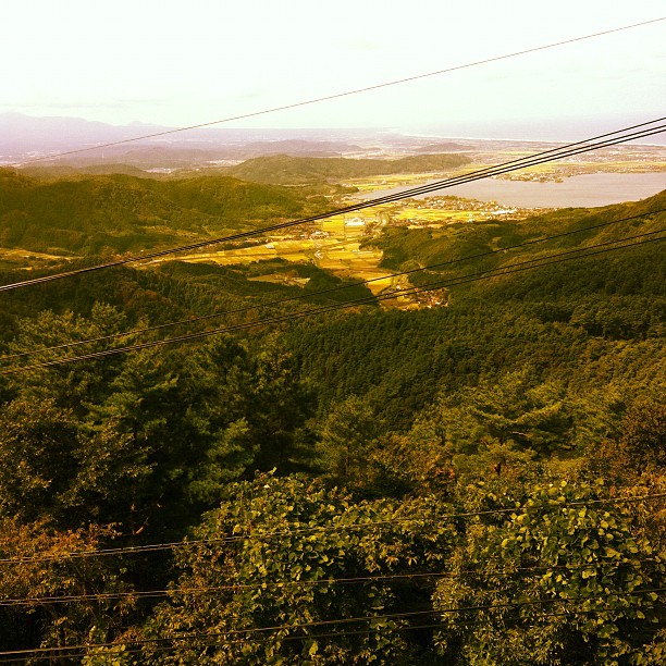
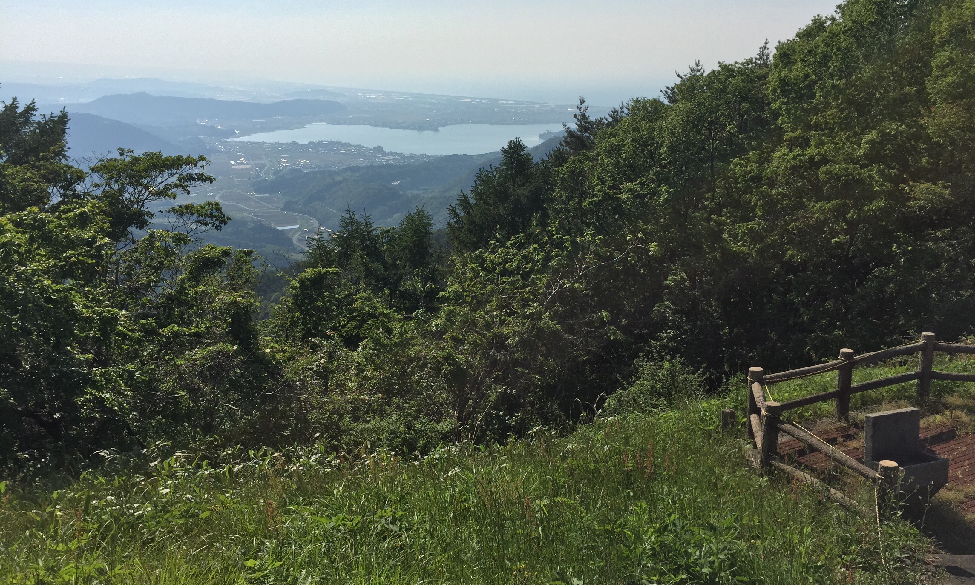
From the top of the Hachibuse mountain
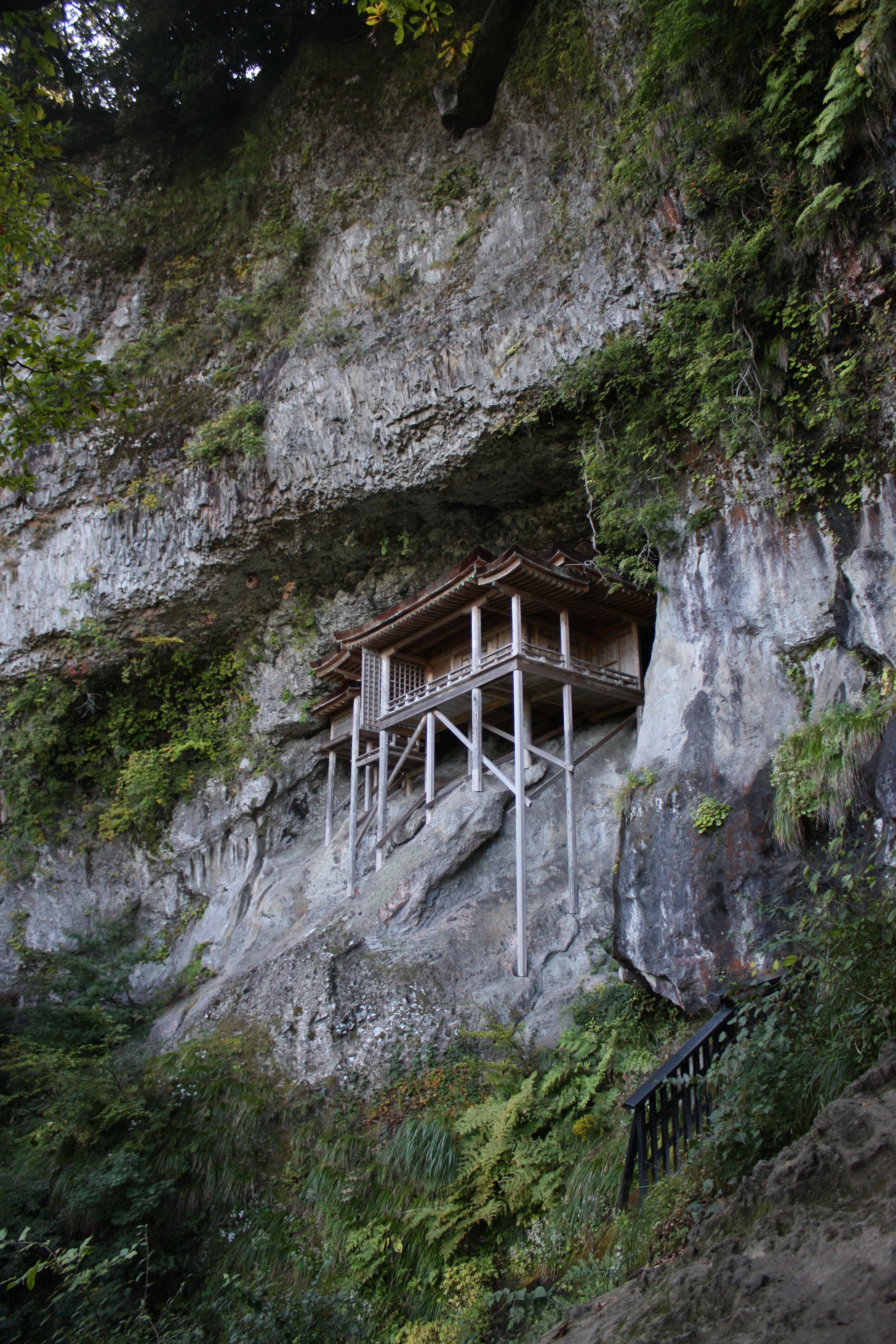
三徳山三佛寺投入堂
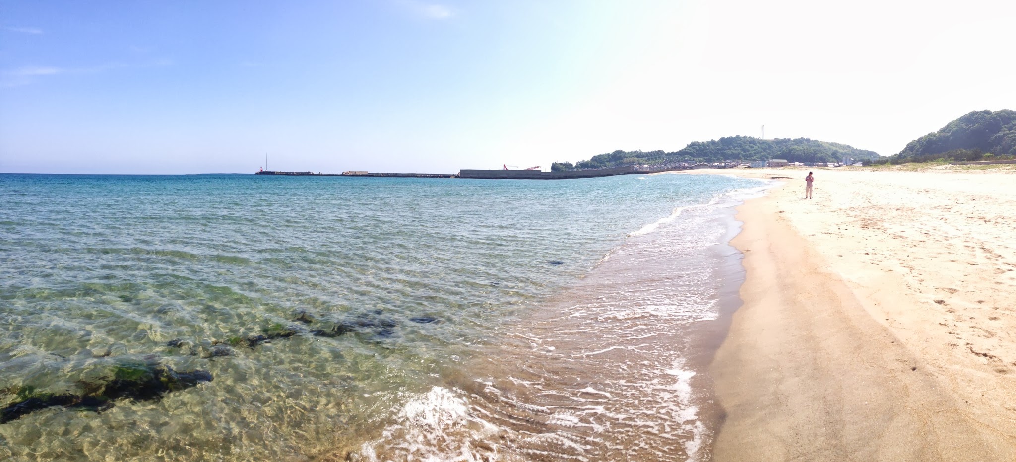
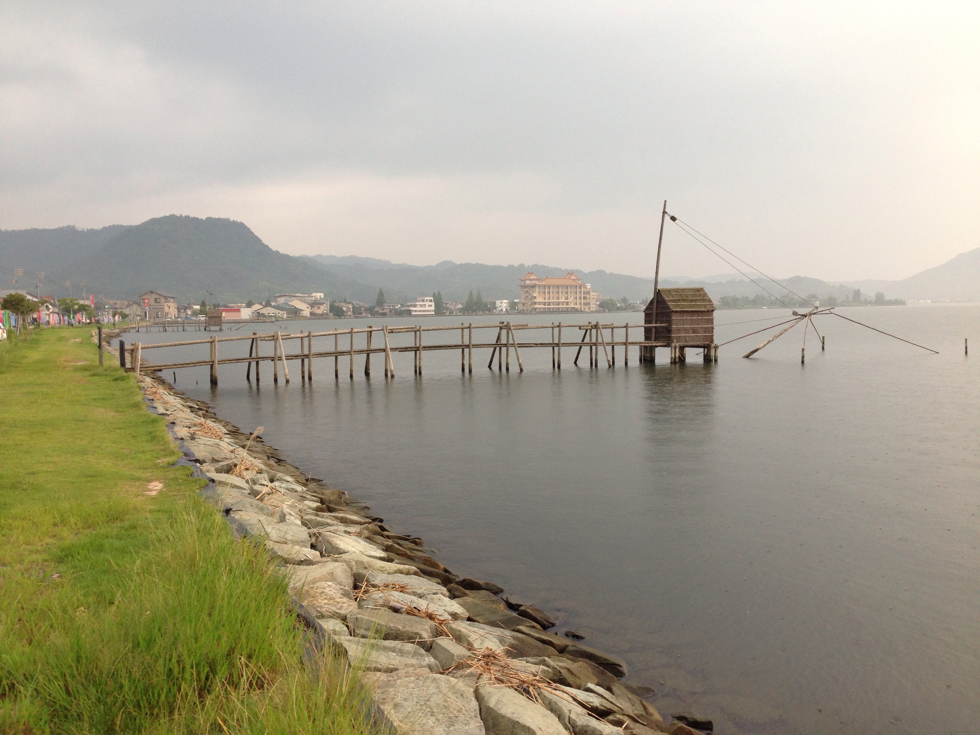
Tomari - Yurihama
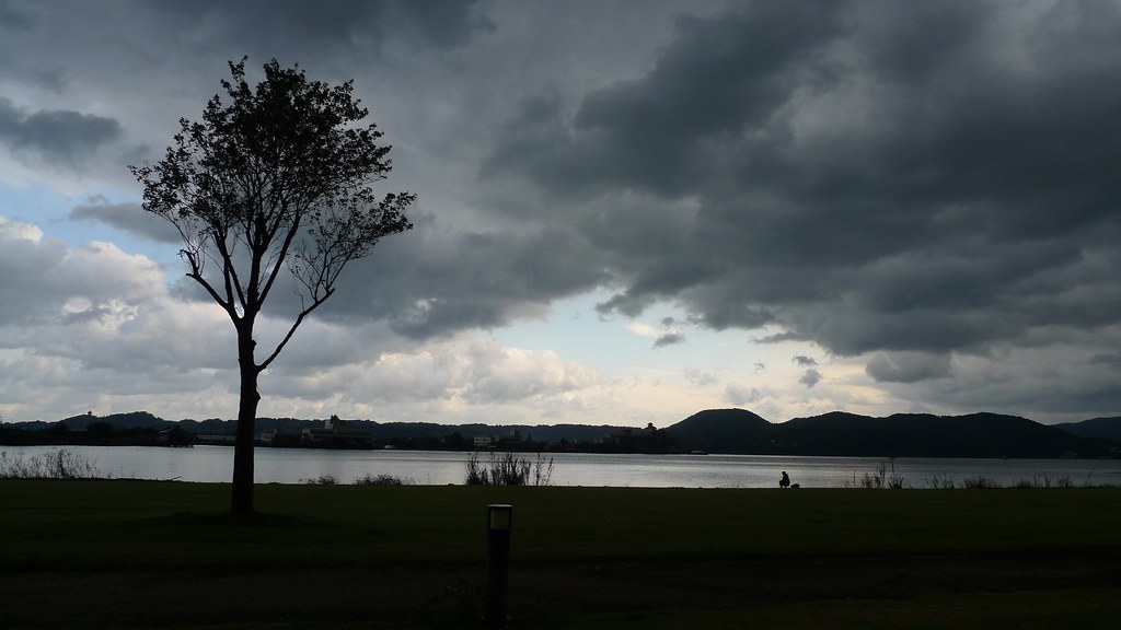
Togo lake (東郷湖)
Autumn Road
Topographic Map of -6 Tomari, Yurihama-chō, Tōhaku-gun, Tottori-ken -, Japan
Find elevation by address:

Places near -6 Tomari, Yurihama-chō, Tōhaku-gun, Tottori-ken -, Japan:
Aoyachō Nagawase, Tottori-shi, Tottori-ken -, Japan
Fujitsu, Yurihama-chō, Tōhaku-gun, Tottori-ken -, Japan
Aoyachō Ide, Tottori-shi, Tottori-ken -, Japan
Aoyachō Aoya, Tottori-shi, Tottori-ken -, Japan
Yurihama
1 Chome- Ageichō, Kurayoshi-shi, Tottori-ken -, Japan
Misasa
1 Ōze, Misasa-chō, Tōhaku-gun, Tottori-ken -, Japan
999 Ōze
三朝町総合文化ホール
722 Aoimachi
Kurayoshi
倉吉市役所本庁舎
Tsuga, Misasa-chō, Tōhaku-gun, Tottori-ken -, Japan
Tohaku District
Sajichōnaka, Tottori-shi, Tottori-ken -, Japan
Sajichō Owai, Tottori-shi, Tottori-ken -, Japan
61 Sajichō Kawamoto, Tottori-shi, Tottori-ken -, Japan
Kawaharachō Yumigouchi, Tottori-shi, Tottori-ken -, Japan
38 Sajichōhata, Tottori-shi, Tottori-ken -, Japan
Recent Searches:
- Elevation of Bydgoszcz, Poland
- Elevation of Bydgoszcz, Poland
- Elevation of Calais Dr, Del Mar, CA, USA
- Elevation of Placer Mine Ln, West Jordan, UT, USA
- Elevation of E 63rd St, New York, NY, USA
- Elevation of Elk City, OK, USA
- Elevation of Erika Dr, Windsor, CA, USA
- Elevation of Village Ln, Finleyville, PA, USA
- Elevation of 24 Oakland Rd #, Scotland, ON N0E 1R0, Canada
- Elevation of Deep Gap Farm Rd E, Mill Spring, NC, USA