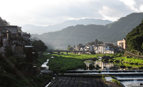
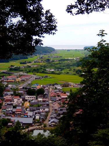
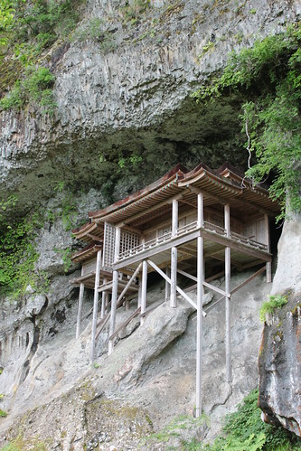
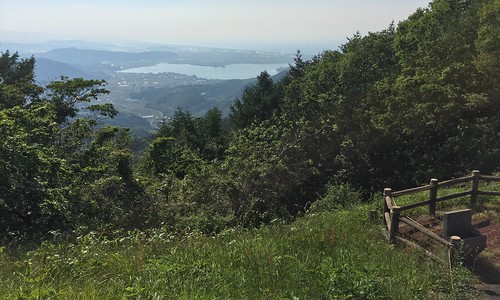
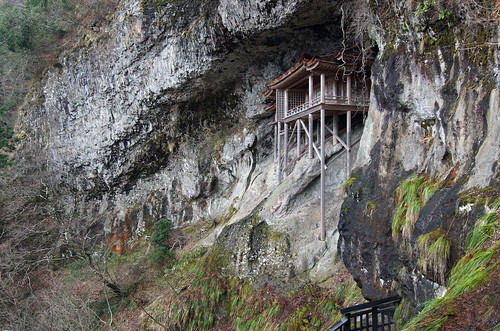
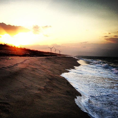
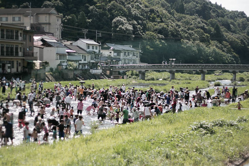
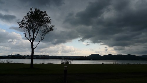
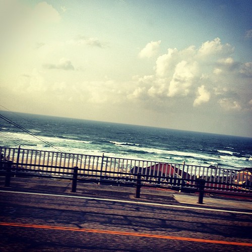
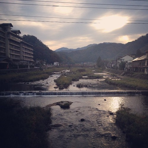
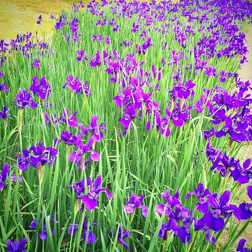
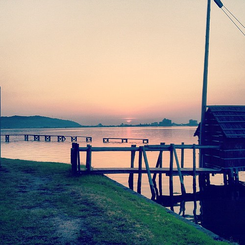
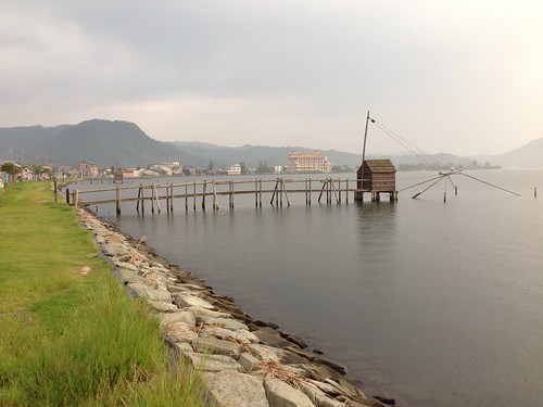
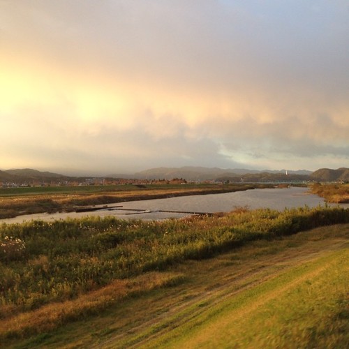
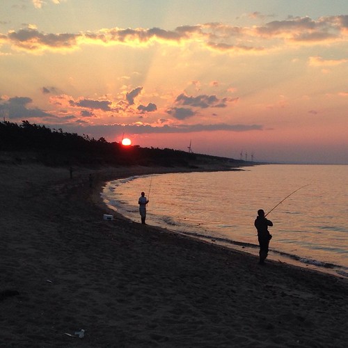
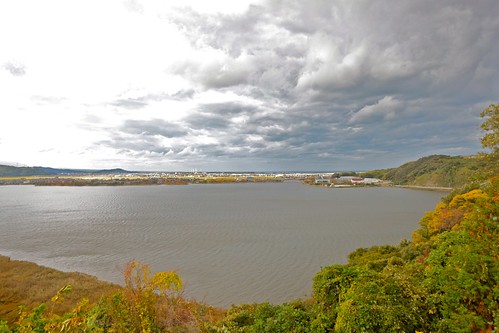
Elevation of Aoyachō Ide, Tottori-shi, Tottori-ken -, Japan
Location: Japan > Tottori Prefecture > Tottori >
Longitude: 133.984607
Latitude: 35.5198248
Elevation: 7m / 23feet
Barometric Pressure: 101KPa
Related Photos:
Topographic Map of Aoyachō Ide, Tottori-shi, Tottori-ken -, Japan
Find elevation by address:

Places near Aoyachō Ide, Tottori-shi, Tottori-ken -, Japan:
Aoyachō Aoya, Tottori-shi, Tottori-ken -, Japan
Aoyachō Nagawase, Tottori-shi, Tottori-ken -, Japan
-6 Tomari, Yurihama-chō, Tōhaku-gun, Tottori-ken -, Japan
Fujitsu, Yurihama-chō, Tōhaku-gun, Tottori-ken -, Japan
Yurihama
1 Chome- Ageichō, Kurayoshi-shi, Tottori-ken -, Japan
1 Ōze, Misasa-chō, Tōhaku-gun, Tottori-ken -, Japan
Misasa
999 Ōze
三朝町総合文化ホール
722 Aoimachi
Kurayoshi
倉吉市役所本庁舎
Tsuga, Misasa-chō, Tōhaku-gun, Tottori-ken -, Japan
Sajichōnaka, Tottori-shi, Tottori-ken -, Japan
Sajichō Owai, Tottori-shi, Tottori-ken -, Japan
4 Chome-29-34 Karochōkita, Tottori-shi, Tottori-ken -, Japan
Kawaharachō Yumigouchi, Tottori-shi, Tottori-ken -, Japan
61 Sajichō Kawamoto, Tottori-shi, Tottori-ken -, Japan
8 Gotandachō, Tottori-shi, Tottori-ken -, Japan
Recent Searches:
- Elevation of Congressional Dr, Stevensville, MD, USA
- Elevation of Bellview Rd, McLean, VA, USA
- Elevation of Stage Island Rd, Chatham, MA, USA
- Elevation of Shibuya Scramble Crossing, 21 Udagawacho, Shibuya City, Tokyo -, Japan
- Elevation of Jadagoniai, Kaunas District Municipality, Lithuania
- Elevation of Pagonija rock, Kranto 7-oji g. 8"N, Kaunas, Lithuania
- Elevation of Co Rd 87, Jamestown, CO, USA
- Elevation of Tenjo, Cundinamarca, Colombia
- Elevation of Côte-des-Neiges, Montreal, QC H4A 3J6, Canada
- Elevation of Bobcat Dr, Helena, MT, USA
