Elevation of Aoyachō Aoya, Tottori-shi, Tottori-ken -, Japan
Location: Japan > Tottori Prefecture > Tottori >
Longitude: 133.996098
Latitude: 35.5208804
Elevation: 14m / 46feet
Barometric Pressure: 101KPa
Elevation Map:
Satellite Map:
Related Photos:
On this day in 2009

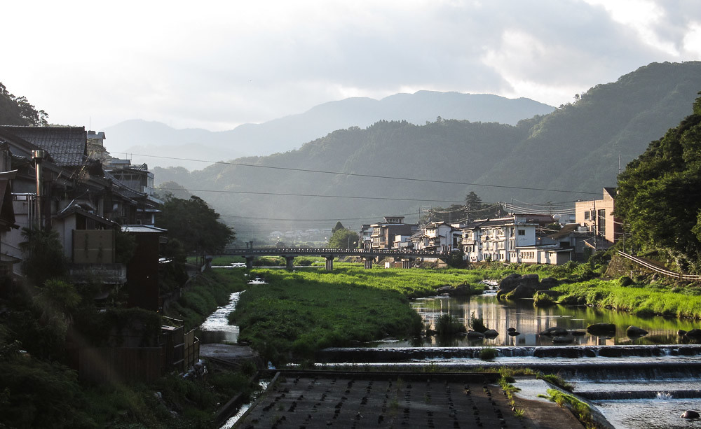
Beautiful view from the ruin of Shikano Castle
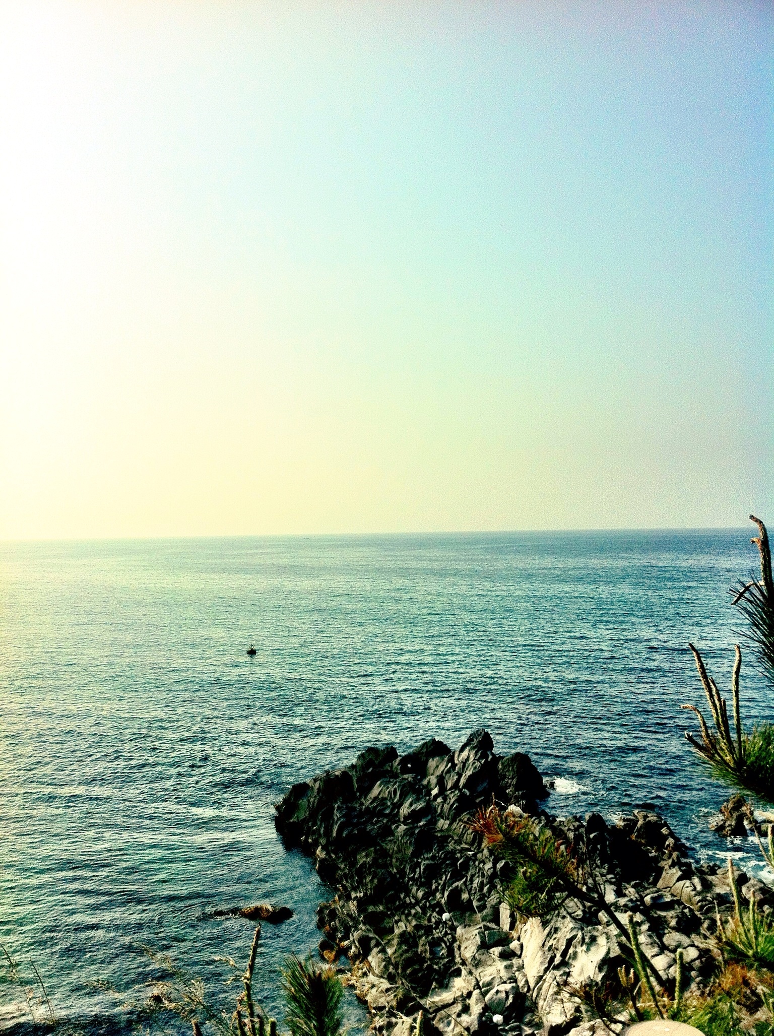
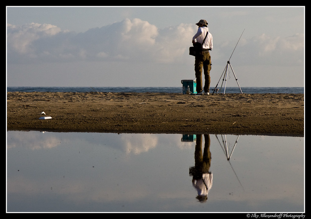
Sea View
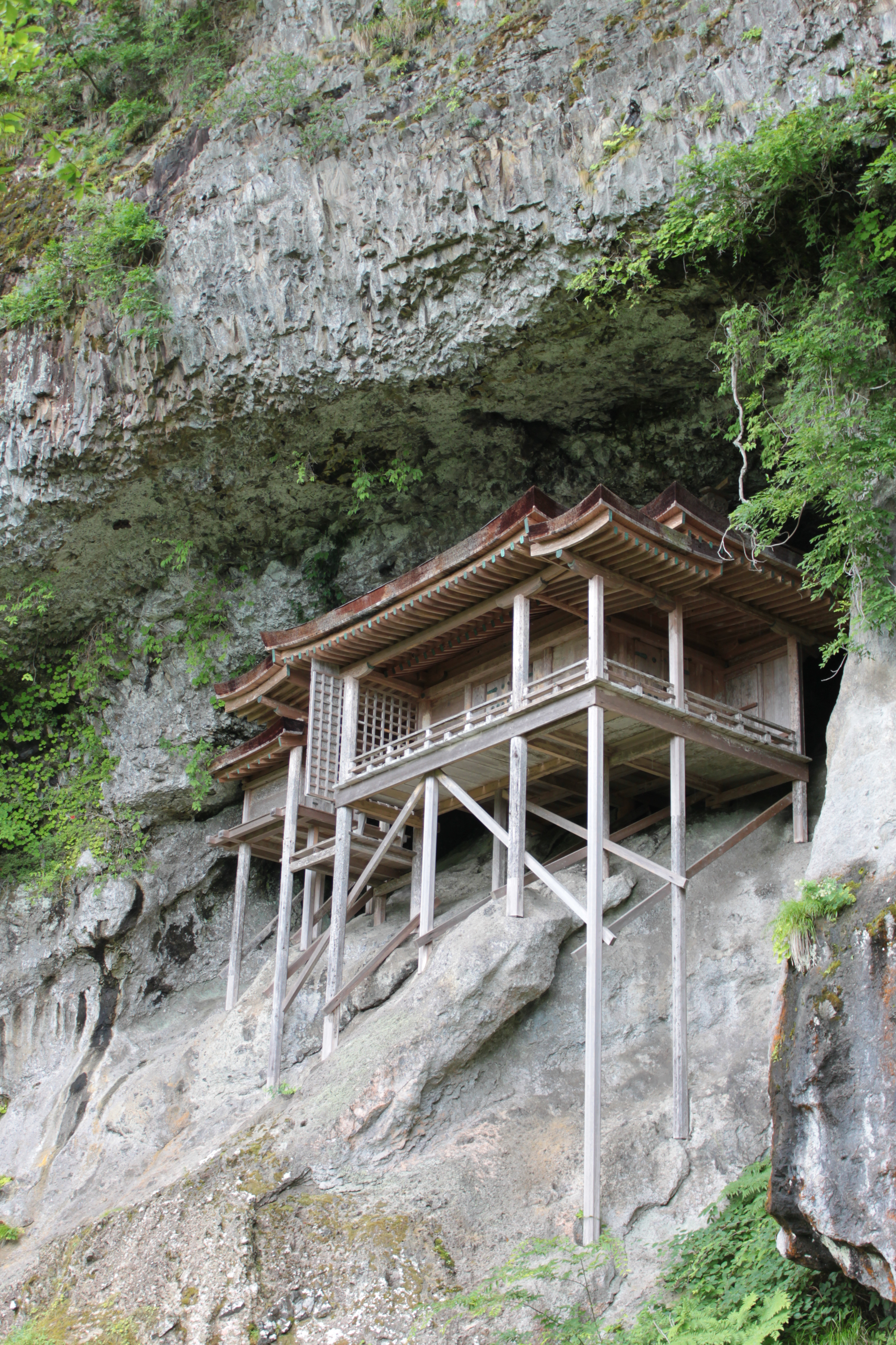
Sanbutsu-ji Temple, Nageire-dou / 三徳山三仏寺投入堂
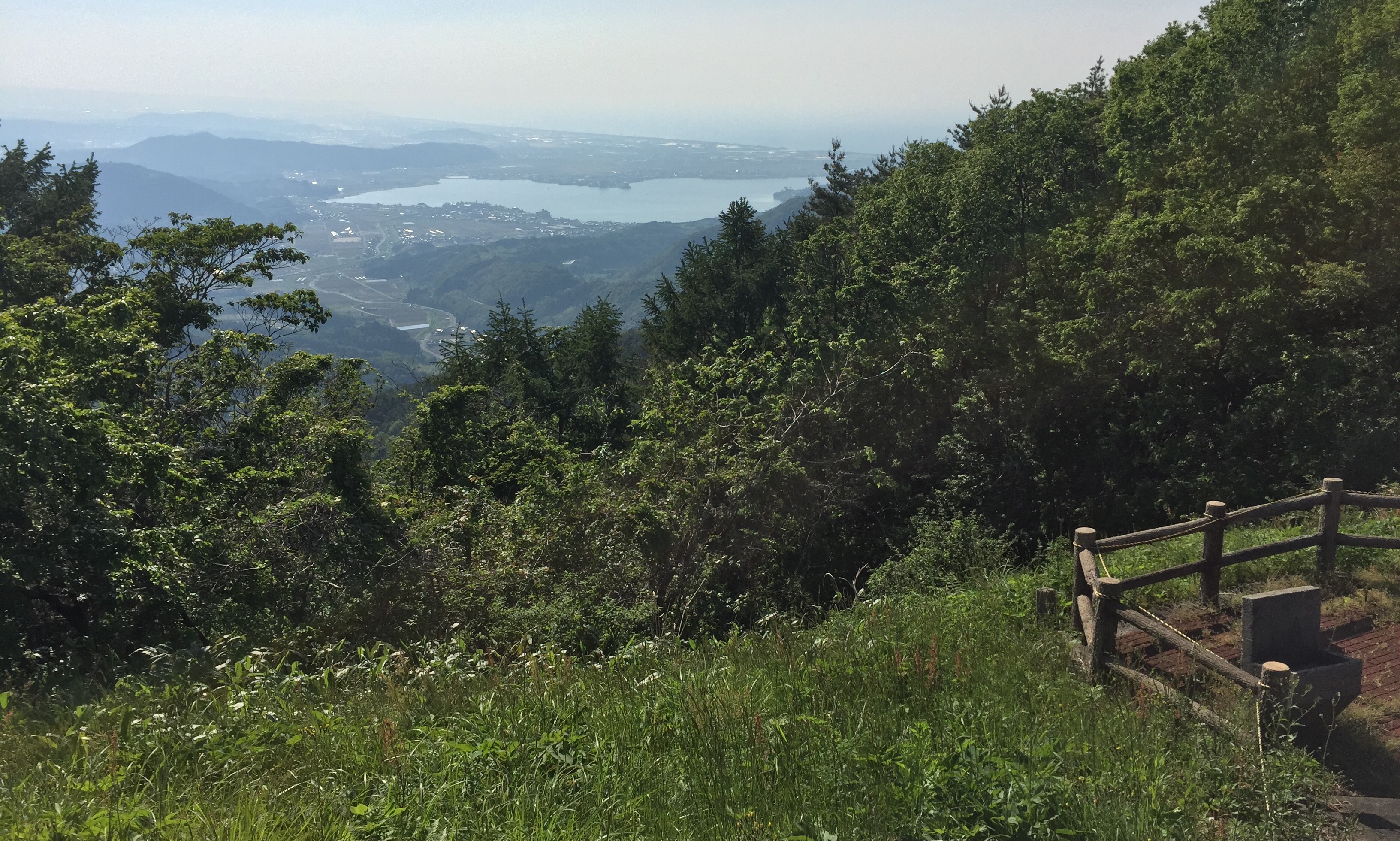
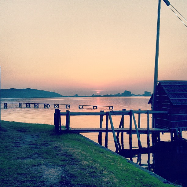
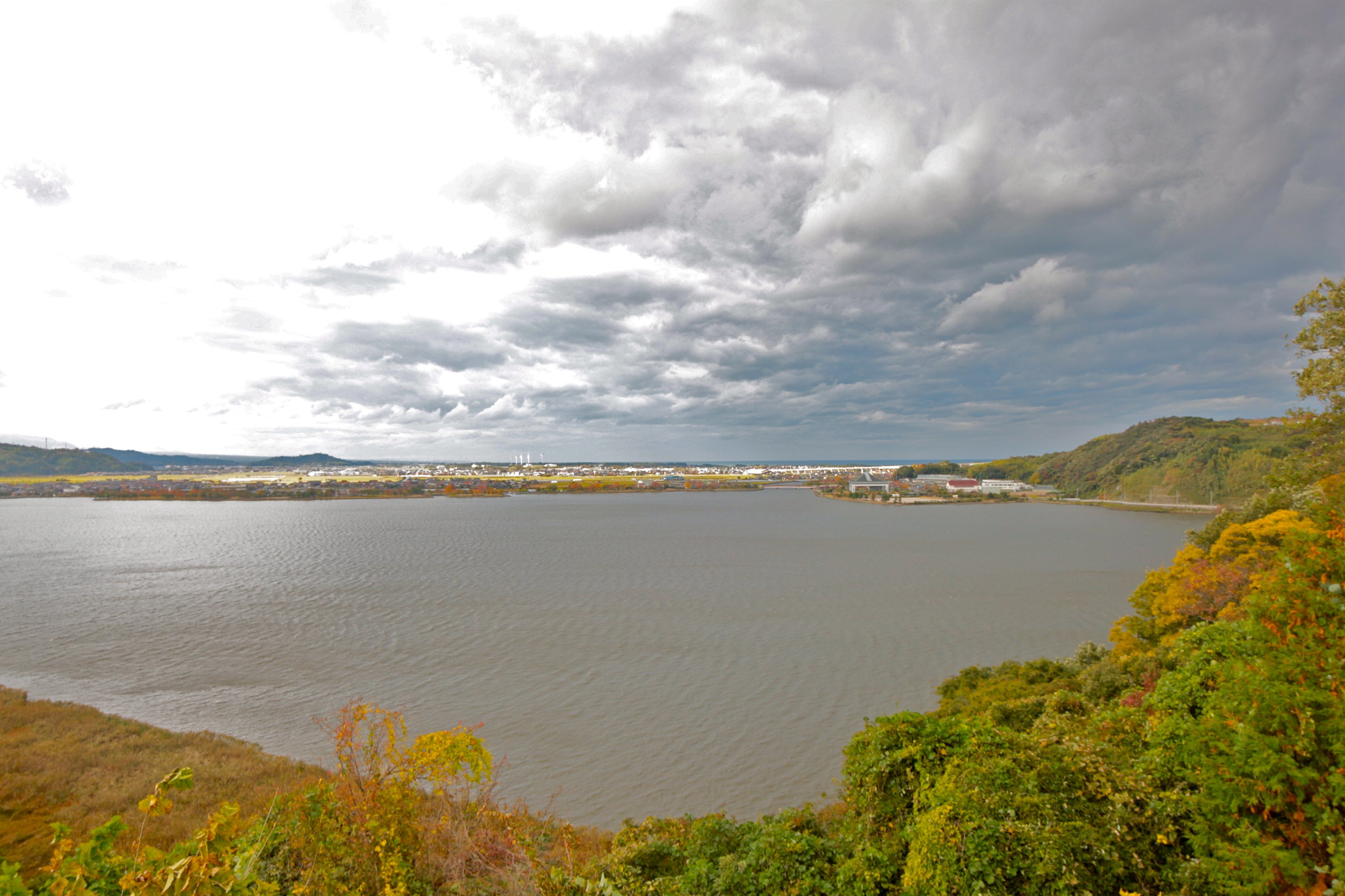
View on lake Togo and sea of Japan
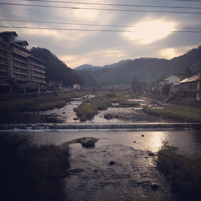
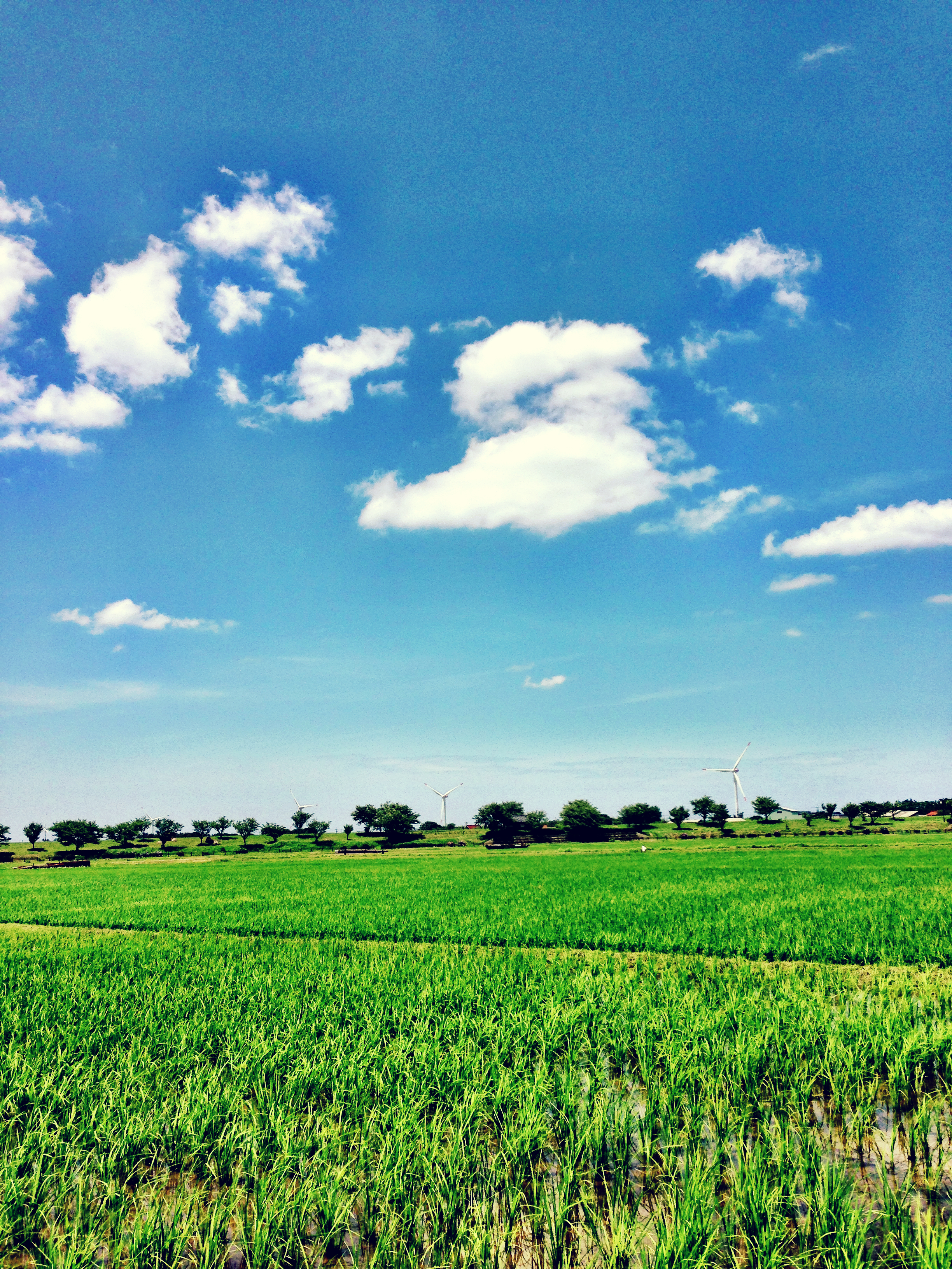
Hamamura, Tottori
sunset in HAWAI (not HAWAII)

海が見えた
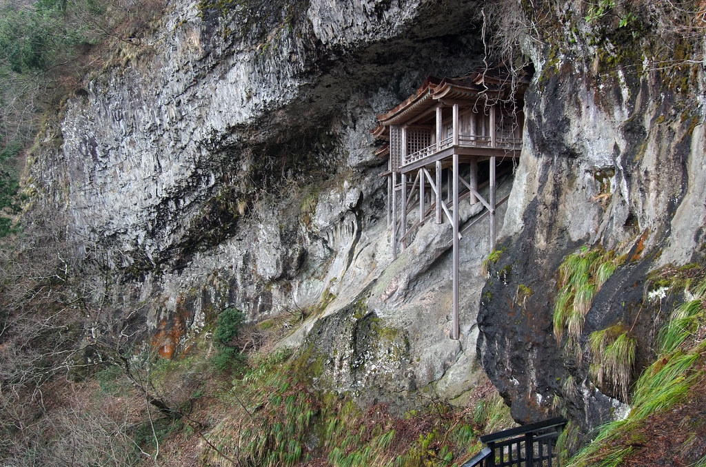
NAGEIREDO, SANBUTSU-JI: Misasa, Tottori, 1076-1100
朝〜。

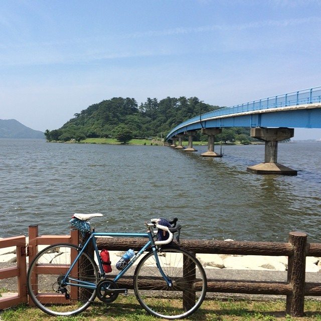
日本海いぇああああああ! - I've finally arrive to Japan Sea, by bike!

Non titled.
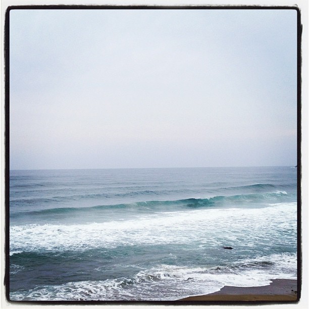
Blue and Green
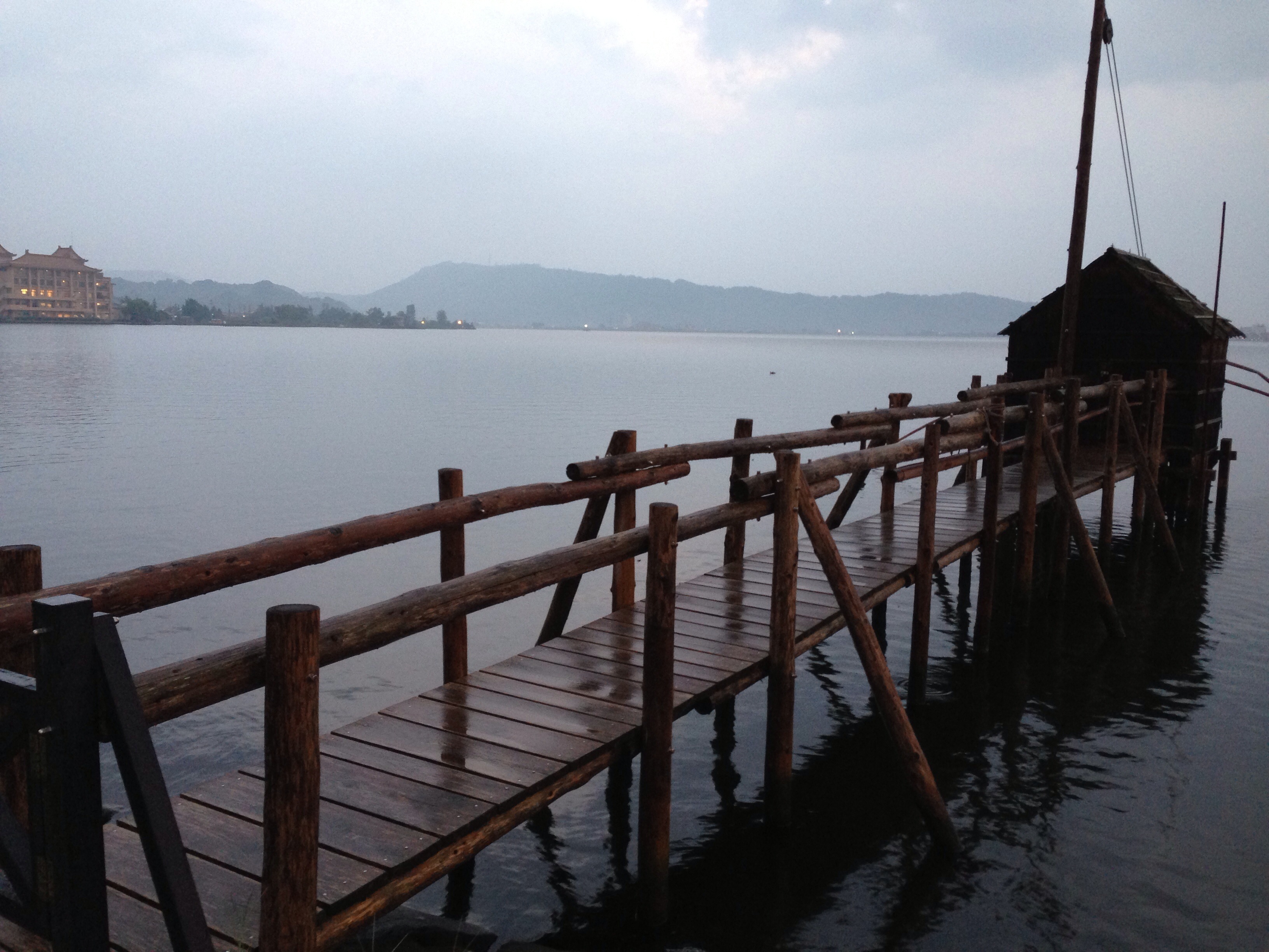
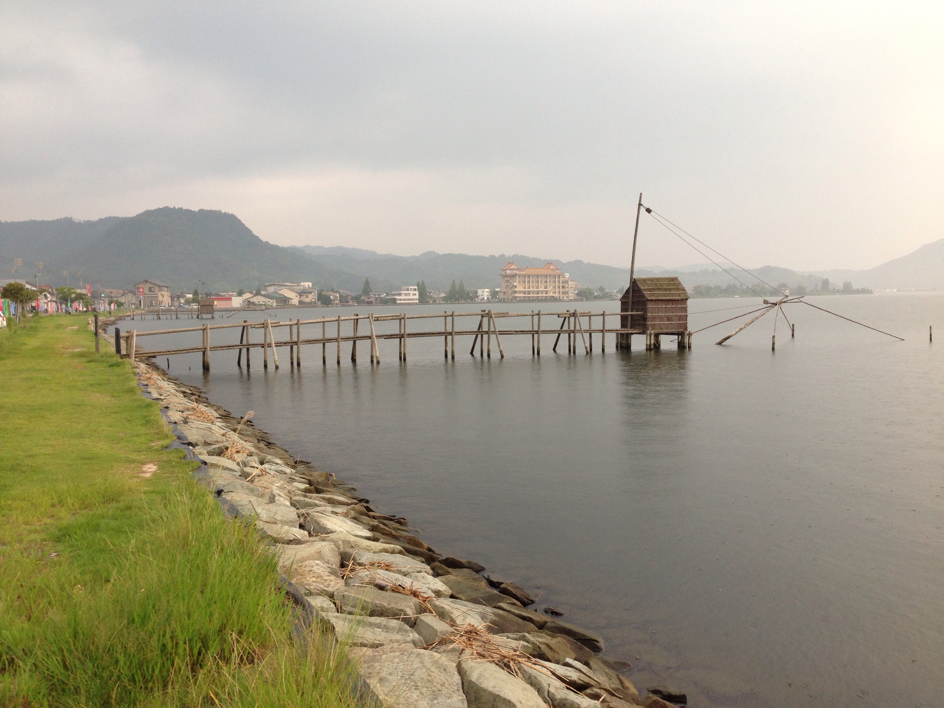
東郷池
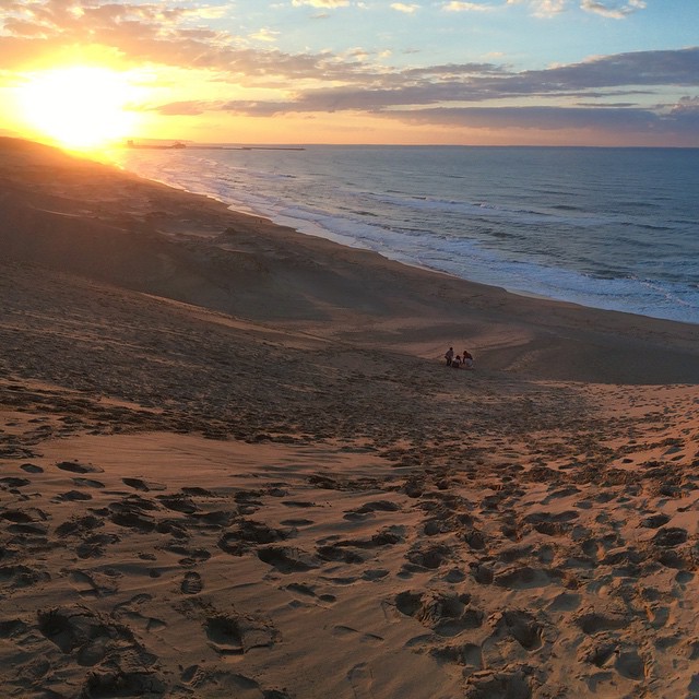
#Japan #Japão #日本 #Tottori #Dunas #Sand #鳥取 #砂丘 #Sun #Sol #太陽 #Pordosol
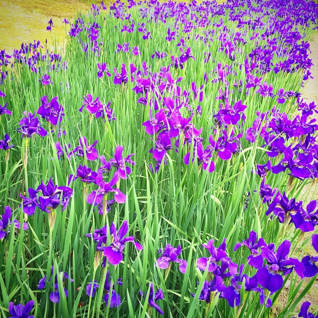
Ayame #あやめ池公園 #鳥取県
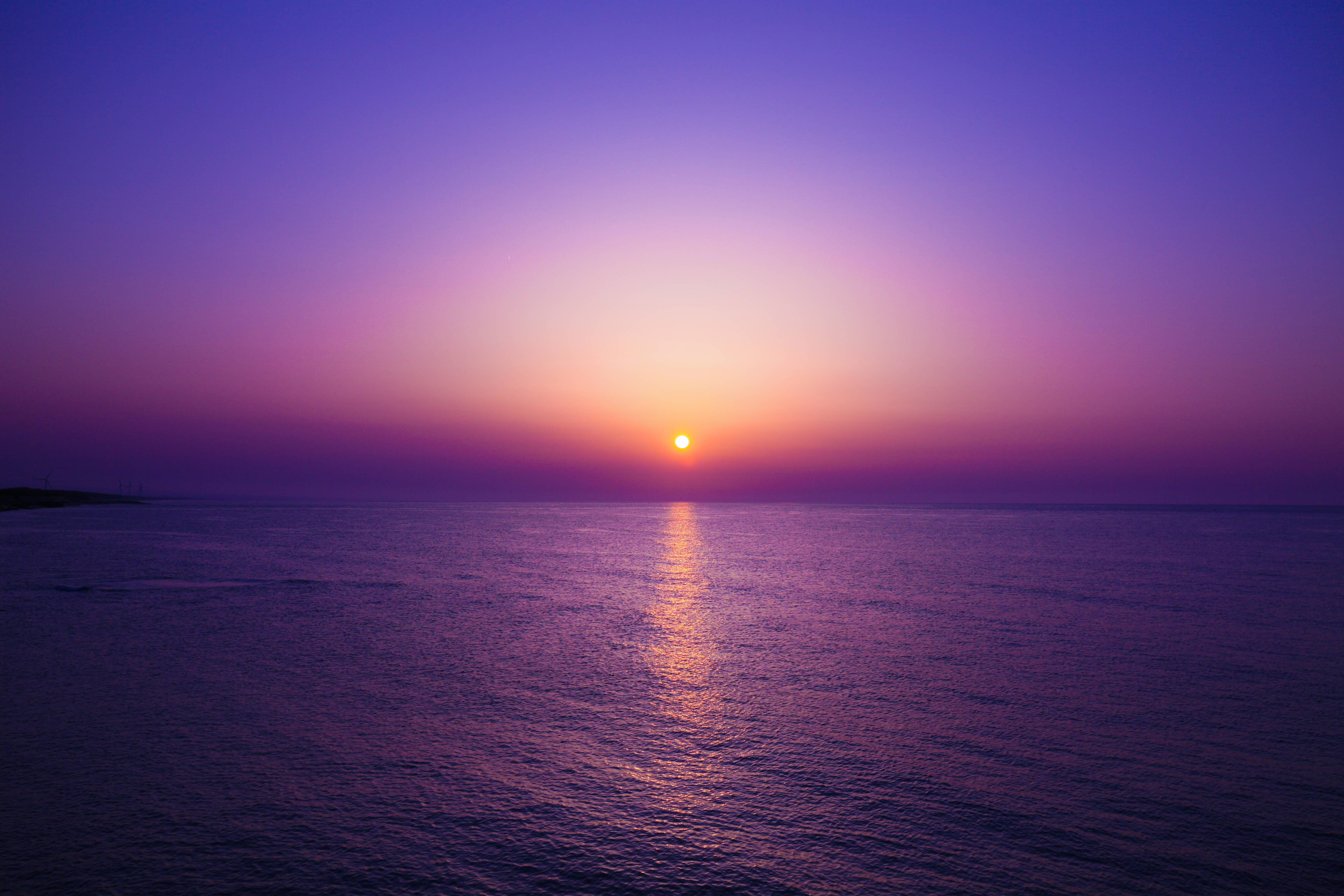
Tottori sunset from Togo lake
東郷池

おはようございます!Good morning! Bonjour!
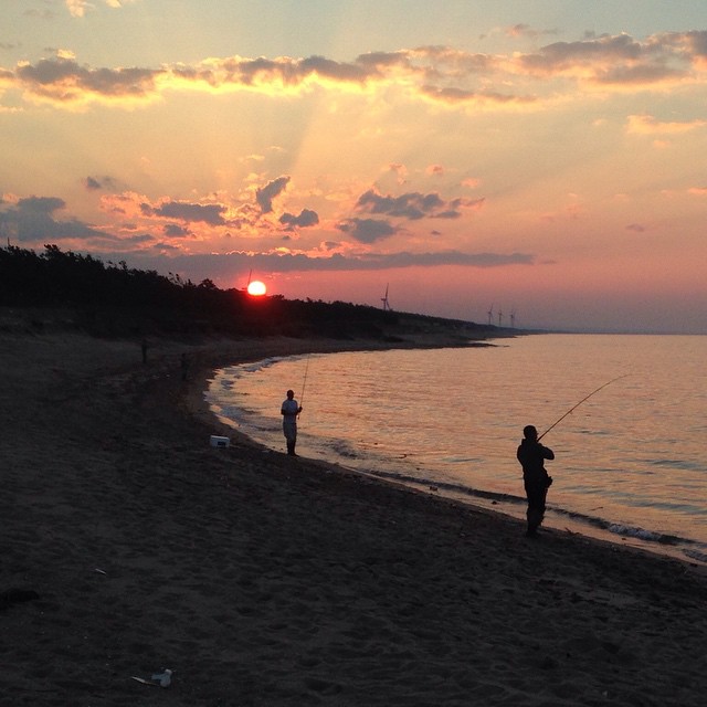
今日のフィッシャーマン
今朝は台風後の波、朝イチ白兎手前沖に出れず…(T_T)宝木リーフに移動してファンサーフ☆ロングローングライドいい波だった!満足(^з^)-☆
東郷池_4

菜の花
湖山池の中にある青島。一周1.8キロ。
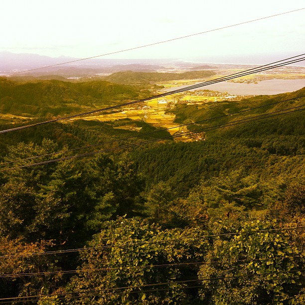
From the top of the Hachibuse mountain
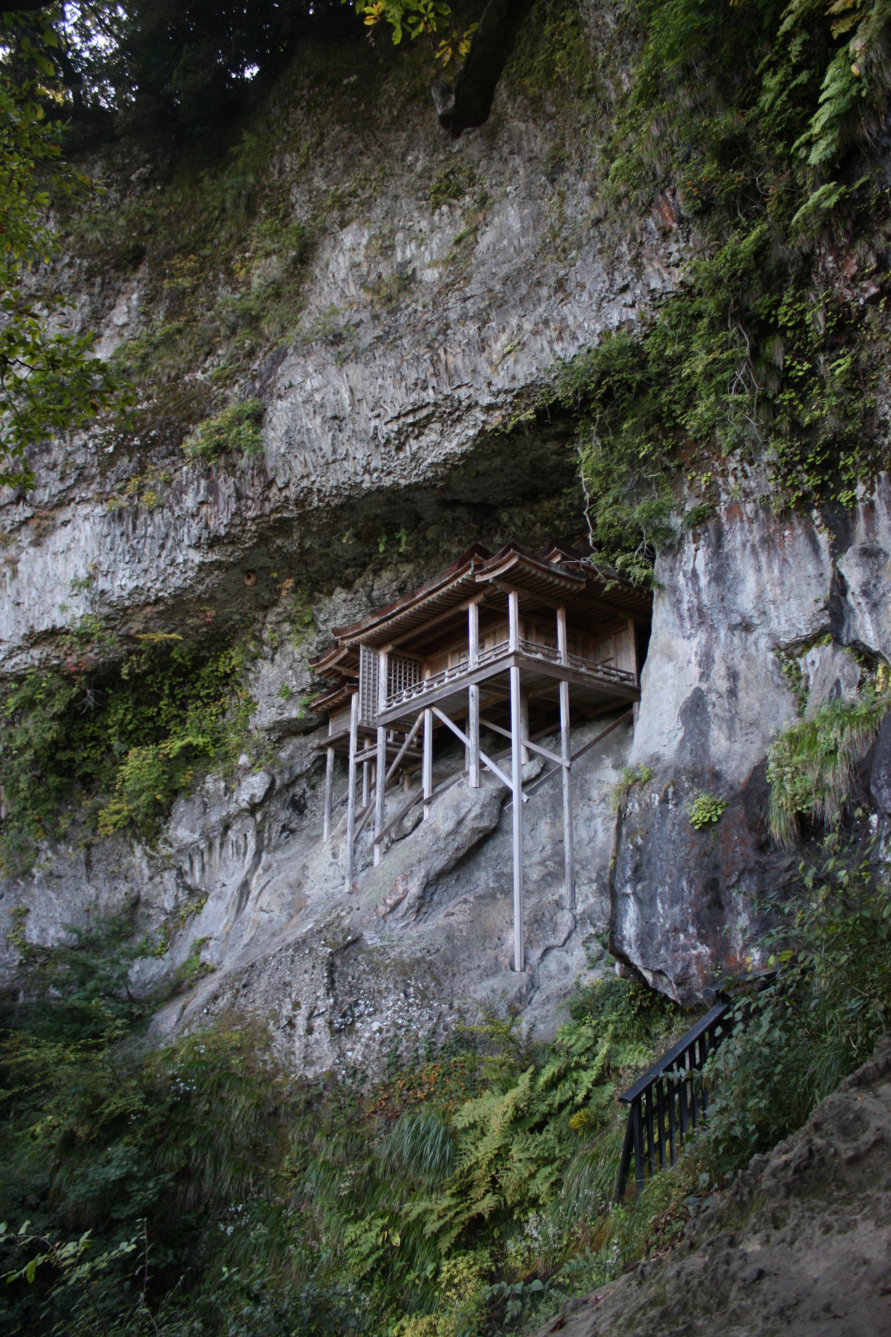
三徳山三佛寺投入堂
Topographic Map of Aoyachō Aoya, Tottori-shi, Tottori-ken -, Japan
Find elevation by address:

Places near Aoyachō Aoya, Tottori-shi, Tottori-ken -, Japan:
Aoyachō Ide, Tottori-shi, Tottori-ken -, Japan
Aoyachō Nagawase, Tottori-shi, Tottori-ken -, Japan
-6 Tomari, Yurihama-chō, Tōhaku-gun, Tottori-ken -, Japan
Fujitsu, Yurihama-chō, Tōhaku-gun, Tottori-ken -, Japan
Yurihama
1 Ōze, Misasa-chō, Tōhaku-gun, Tottori-ken -, Japan
1 Chome- Ageichō, Kurayoshi-shi, Tottori-ken -, Japan
Misasa
999 Ōze
三朝町総合文化ホール
4 Chome-29-34 Karochōkita, Tottori-shi, Tottori-ken -, Japan
722 Aoimachi
Kurayoshi
倉吉市役所本庁舎
Sajichōnaka, Tottori-shi, Tottori-ken -, Japan
Kawaharachō Yumigouchi, Tottori-shi, Tottori-ken -, Japan
Sajichō Owai, Tottori-shi, Tottori-ken -, Japan
Tsuga, Misasa-chō, Tōhaku-gun, Tottori-ken -, Japan
8 Gotandachō, Tottori-shi, Tottori-ken -, Japan
Okute, Tottori-shi, Tottori-ken -, Japan
Recent Searches:
- Elevation of Elwyn Dr, Roanoke Rapids, NC, USA
- Elevation of Congressional Dr, Stevensville, MD, USA
- Elevation of Bellview Rd, McLean, VA, USA
- Elevation of Stage Island Rd, Chatham, MA, USA
- Elevation of Shibuya Scramble Crossing, 21 Udagawacho, Shibuya City, Tokyo -, Japan
- Elevation of Jadagoniai, Kaunas District Municipality, Lithuania
- Elevation of Pagonija rock, Kranto 7-oji g. 8"N, Kaunas, Lithuania
- Elevation of Co Rd 87, Jamestown, CO, USA
- Elevation of Tenjo, Cundinamarca, Colombia
- Elevation of Côte-des-Neiges, Montreal, QC H4A 3J6, Canada