Elevation of Antelope Trail, Cotopaxi, CO, USA
Location: United States > Colorado > Cotopaxi >
Longitude: -105.65983
Latitude: 38.5469269
Elevation: 2793m / 9163feet
Barometric Pressure: 72KPa
Elevation Map:
Satellite Map:
Related Photos:
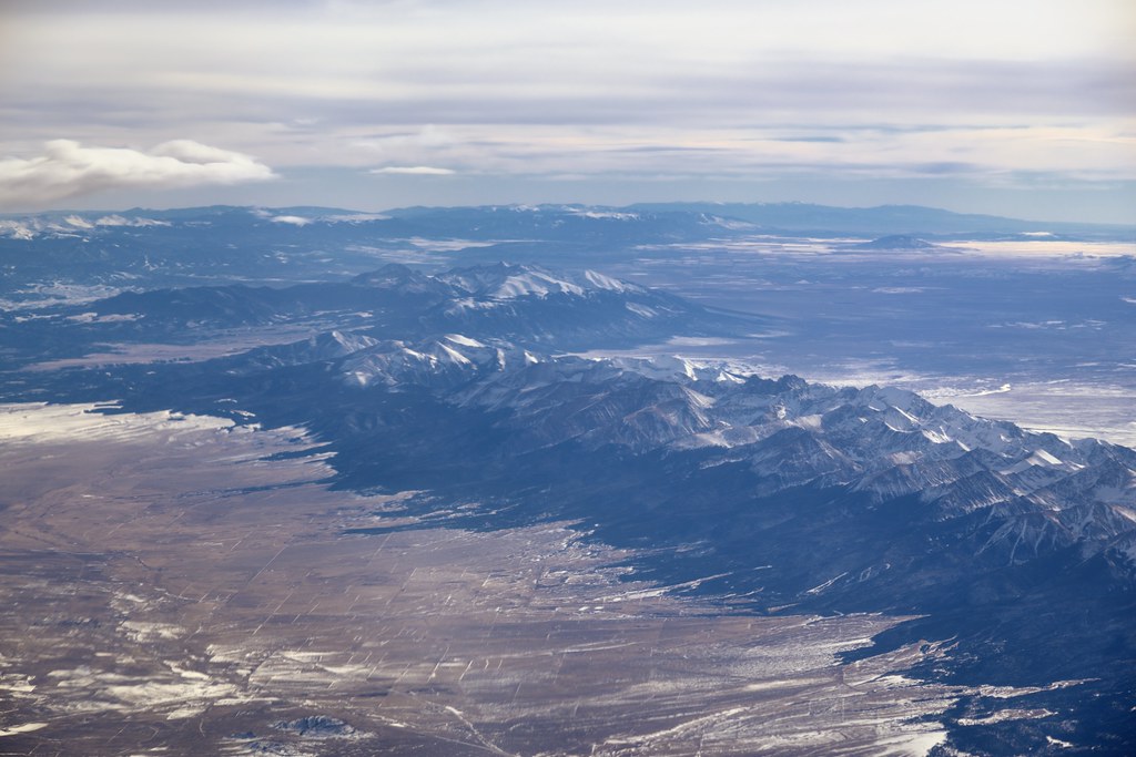
Sangre de Cristo Range and the Rocky Mountains
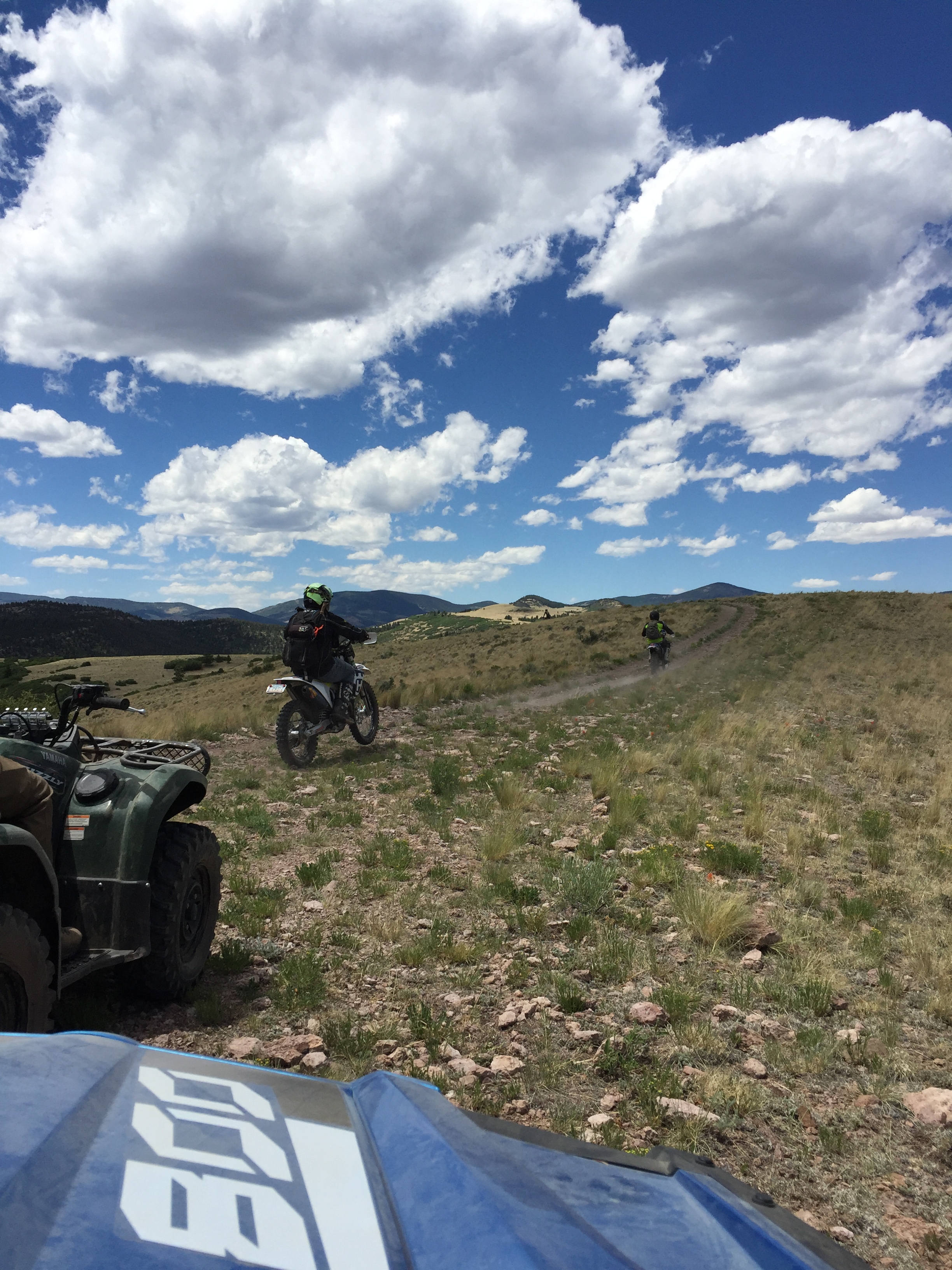
Top OHV Areas: Texas Creek

Top OHV Areas: Texas Creek

iphone pano

U.S. Route 50 Colorado on the Arkansas River

Tumblin' down

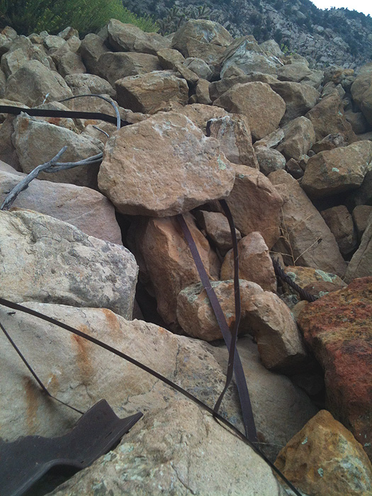
Rocky slope
Mixture of Metal

Sagebrush Checkerspot

Medano Creek

Sand Dunes

A bit too far

Queen of the world

She's lovin' it
Topographic Map of Antelope Trail, Cotopaxi, CO, USA
Find elevation by address:

Places near Antelope Trail, Cotopaxi, CO, USA:
2611 Antelope Trail
2611 Antelope Trail
2611 Antelope Trail
2423 Co Rd 16
2423 Co Rd 16
86 Verde Dr
47 Lobo Pl
1029 Antelope Trail
701 Green Mountain Rd
304 Broken Arrow Dr
North Burno Mountain
1631 S T-bar Trail
Stoney Face Mountain
Walker Way
1000 Walker Way
1147 Allen Rd
Park Mountain
1377 S Tallahassee Trail
880 Burno Mountain Rd
955 Allen Rd
Recent Searches:
- Elevation of 24 Oakland Rd #, Scotland, ON N0E 1R0, Canada
- Elevation of Deep Gap Farm Rd E, Mill Spring, NC, USA
- Elevation of Dog Leg Dr, Minden, NV, USA
- Elevation of Dog Leg Dr, Minden, NV, USA
- Elevation of Kambingan Sa Pansol Atbp., Purok 7 Pansol, Candaba, Pampanga, Philippines
- Elevation of Pinewood Dr, New Bern, NC, USA
- Elevation of Mountain View, CA, USA
- Elevation of Foligno, Province of Perugia, Italy
- Elevation of Blauwestad, Netherlands
- Elevation of Bella Terra Blvd, Estero, FL, USA