Elevation of Allen Rd, Cañon City, CO, USA
Location: United States > Colorado > Cañon City >
Longitude: -105.60011
Latitude: 38.623105
Elevation: 2750m / 9022feet
Barometric Pressure: 72KPa
Elevation Map:
Satellite Map:
Related Photos:
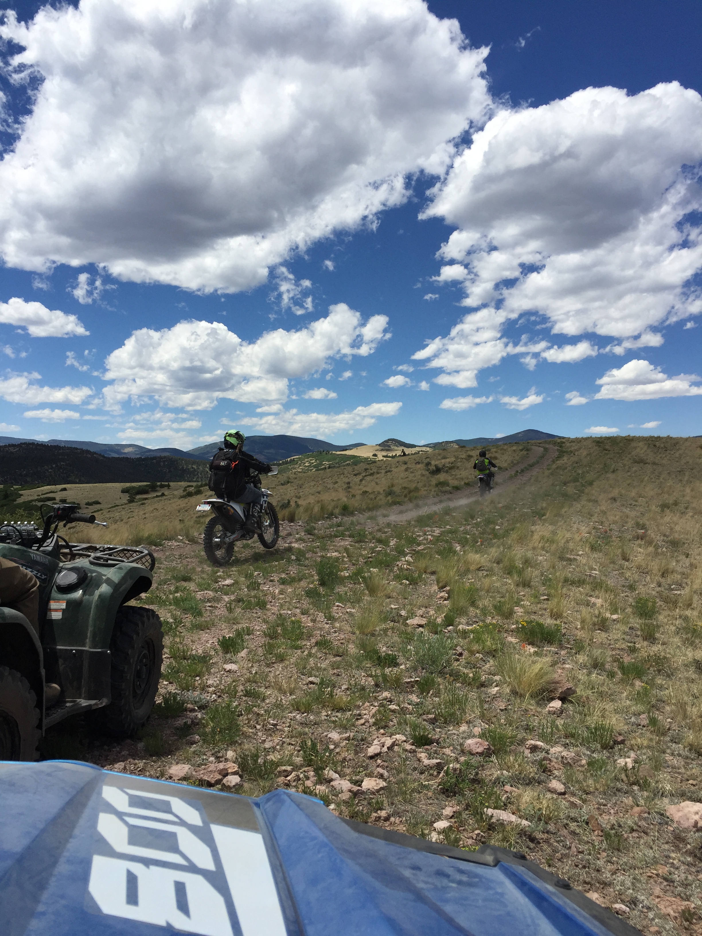
Top OHV Areas: Texas Creek

Top OHV Areas: Texas Creek

Mt Yale

Sagebrush Checkerspot

Black Mountain (3552 m)

Cd Rd 107

She's lovin' it
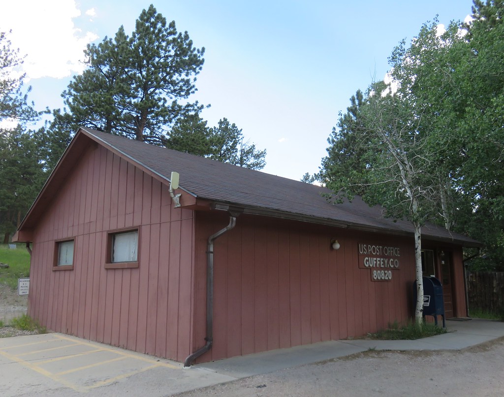
Post Office 80820 (Guffey, Colorado)

Ghost Town, Guffey, Colorado

Top OHV Areas: Texas Creek

IMG_7719[1]
Topographic Map of Allen Rd, Cañon City, CO, USA
Find elevation by address:

Places near Allen Rd, Cañon City, CO, USA:
232 Steven Rd
125 Steven Rd
1147 Allen Rd
398 Cliff Pl
2235 Autumn Creek Dr
1156 Autumn Creek Dr
6603 Autumn Creek Dr
480 Rosebush Rd
662 Wapiti Trail
East Antelope Mountain
Water On The Spot
662 Wapiti Trail
481 Coyote Trail
866 Rosebush Rd
Cty Road 2a
3535 Delilah Dr
620 Skyview Rd
Walker Way
1000 Walker Way
479 Canterbury Ct
Recent Searches:
- Elevation of Stage Island Rd, Chatham, MA, USA
- Elevation of Shibuya Scramble Crossing, 21 Udagawacho, Shibuya City, Tokyo -, Japan
- Elevation of Jadagoniai, Kaunas District Municipality, Lithuania
- Elevation of Pagonija rock, Kranto 7-oji g. 8"N, Kaunas, Lithuania
- Elevation of Co Rd 87, Jamestown, CO, USA
- Elevation of Tenjo, Cundinamarca, Colombia
- Elevation of Côte-des-Neiges, Montreal, QC H4A 3J6, Canada
- Elevation of Bobcat Dr, Helena, MT, USA
- Elevation of Zu den Ihlowbergen, Althüttendorf, Germany
- Elevation of Badaber, Peshawar, Khyber Pakhtunkhwa, Pakistan