Elevation of 47 Lobo Pl, Cotopaxi, CO, USA
Location: United States > Colorado > Cotopaxi >
Longitude: -105.65107
Latitude: 38.5492526
Elevation: 2854m / 9363feet
Barometric Pressure: 71KPa
Elevation Map:
Satellite Map:
Related Photos:
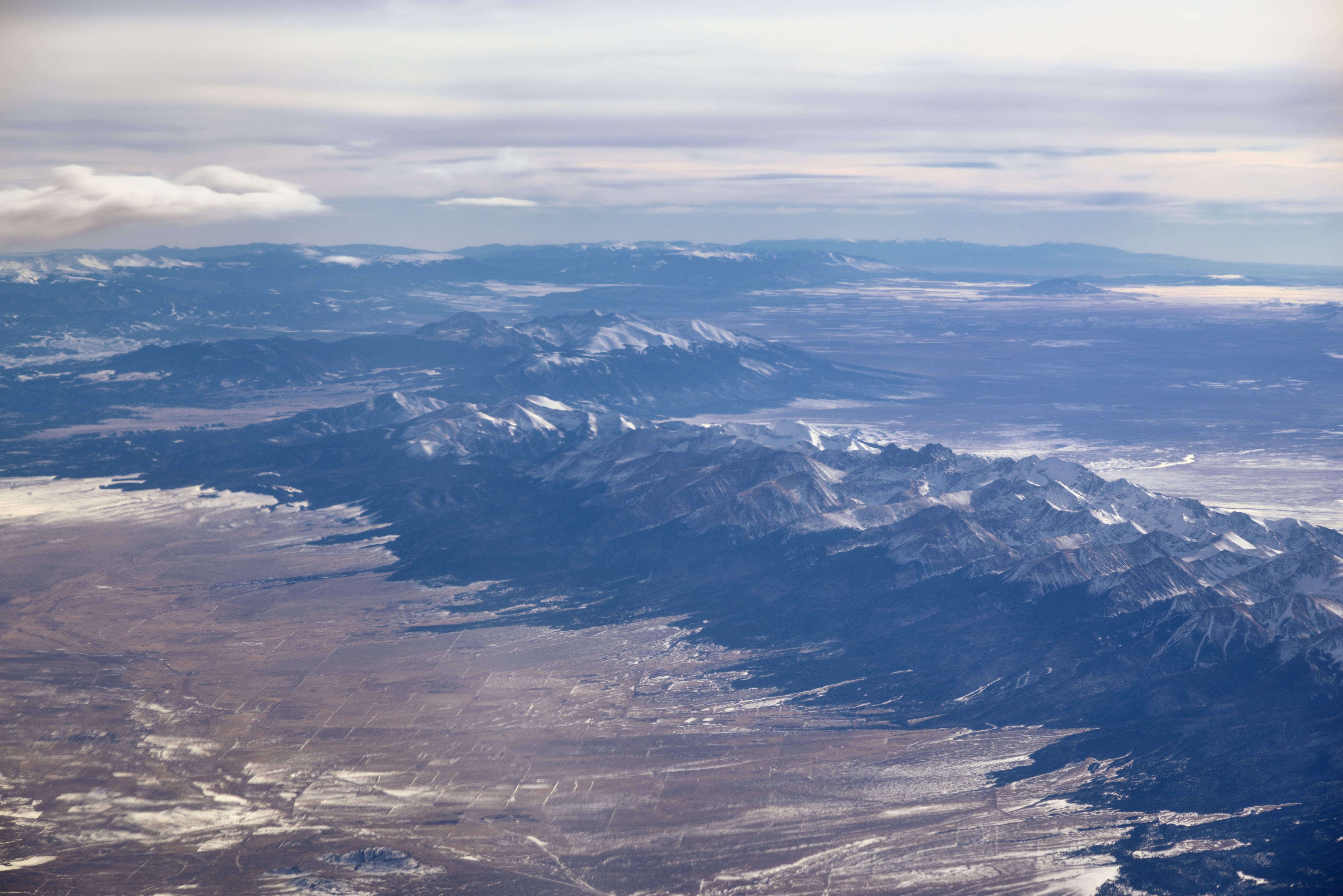
Sangre de Cristo Range and the Rocky Mountains

Sagebrush Checkerspot
Queen of the world
A bit too far
She's lovin' it
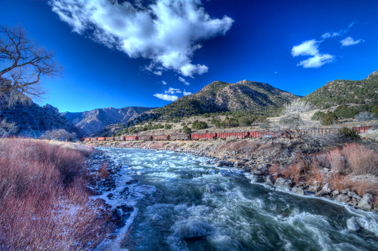
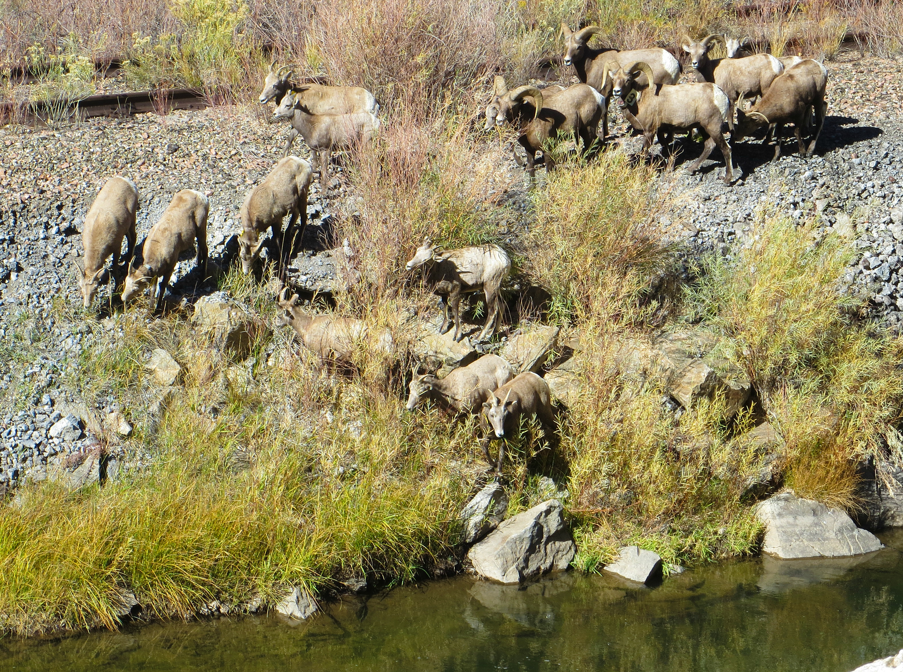
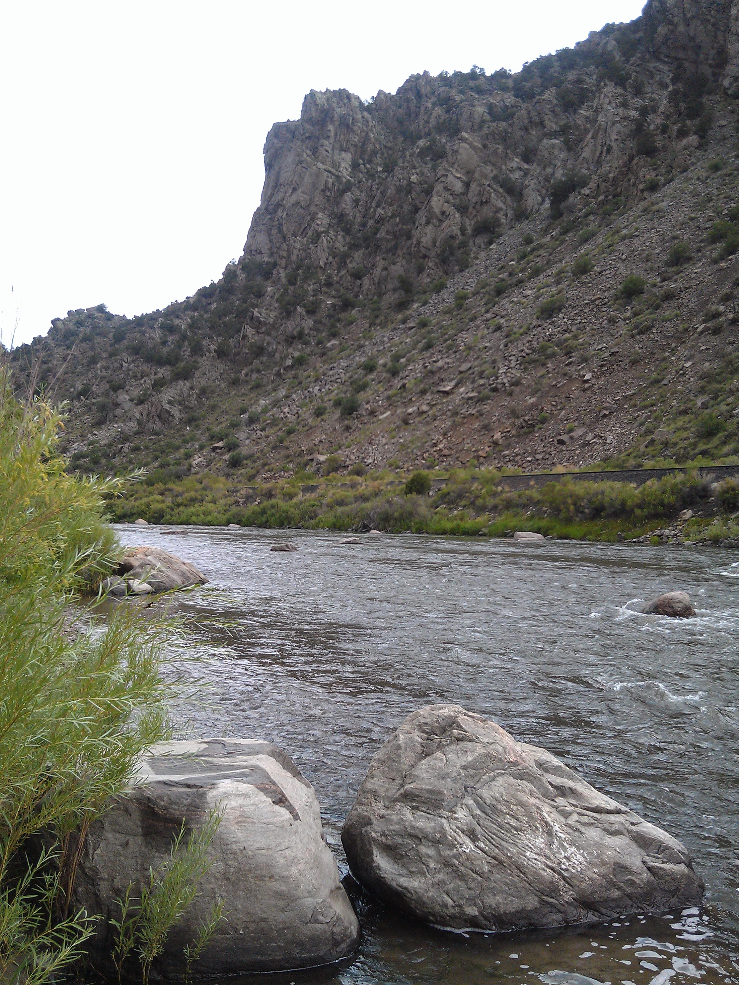
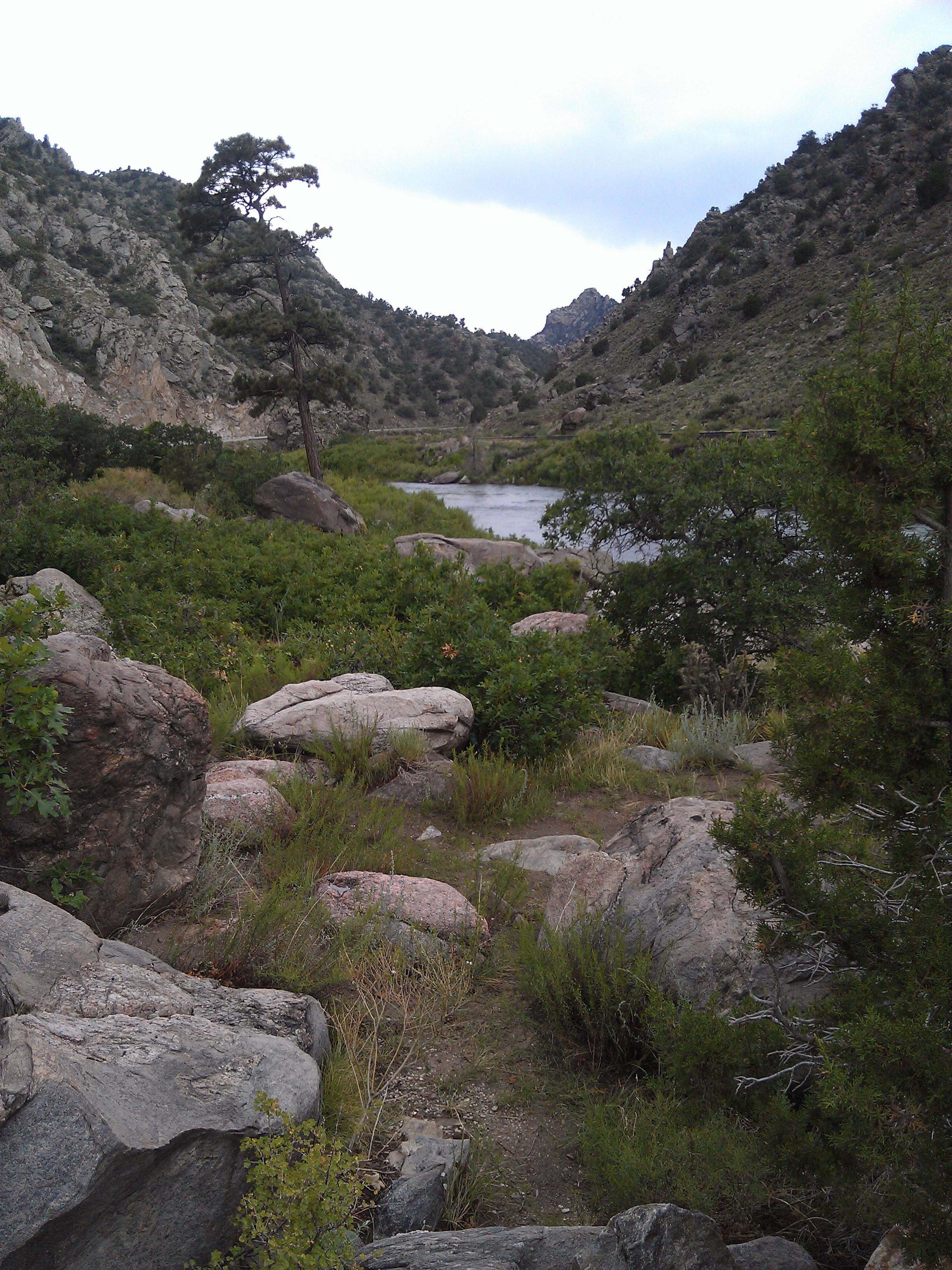
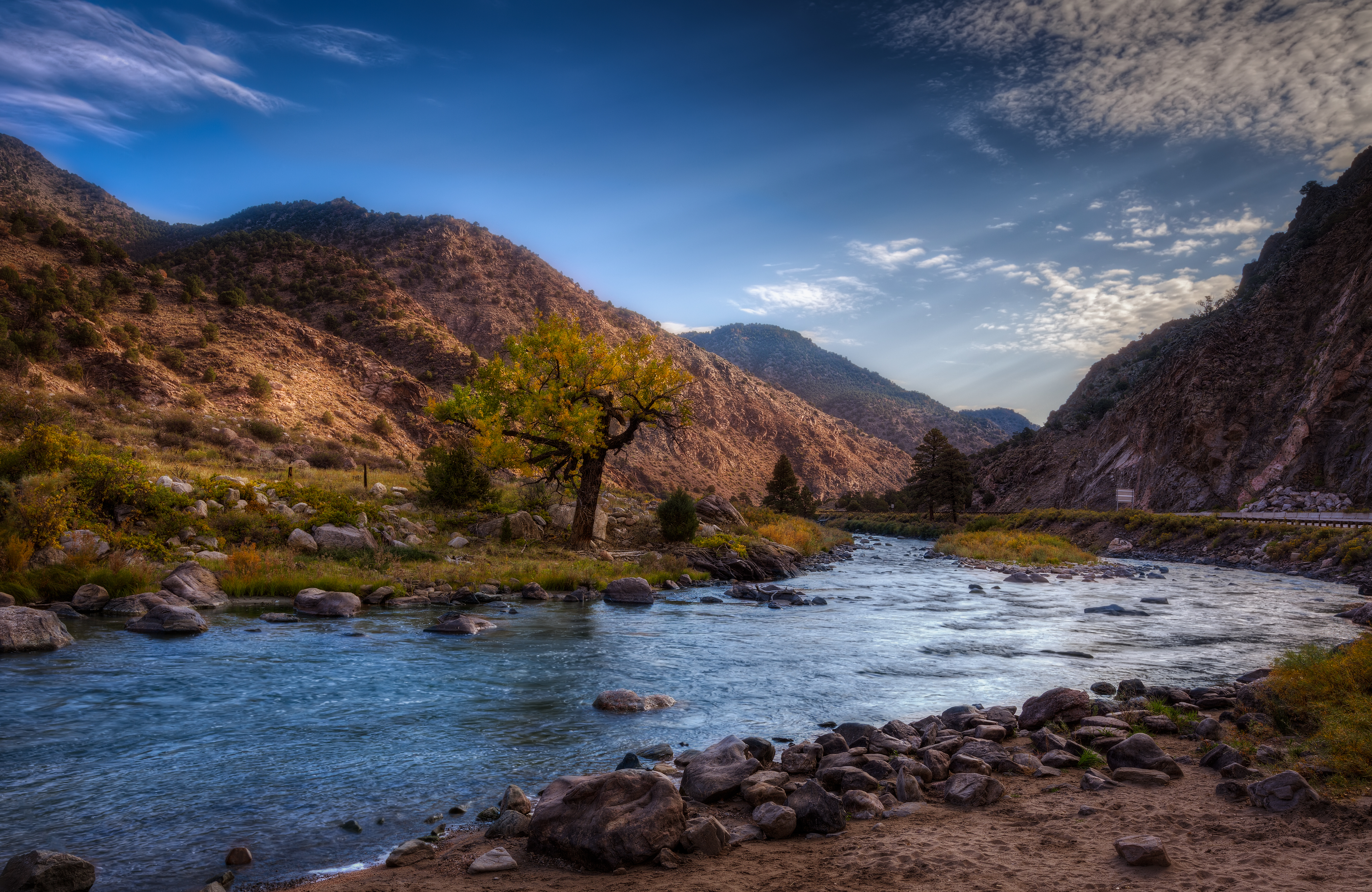
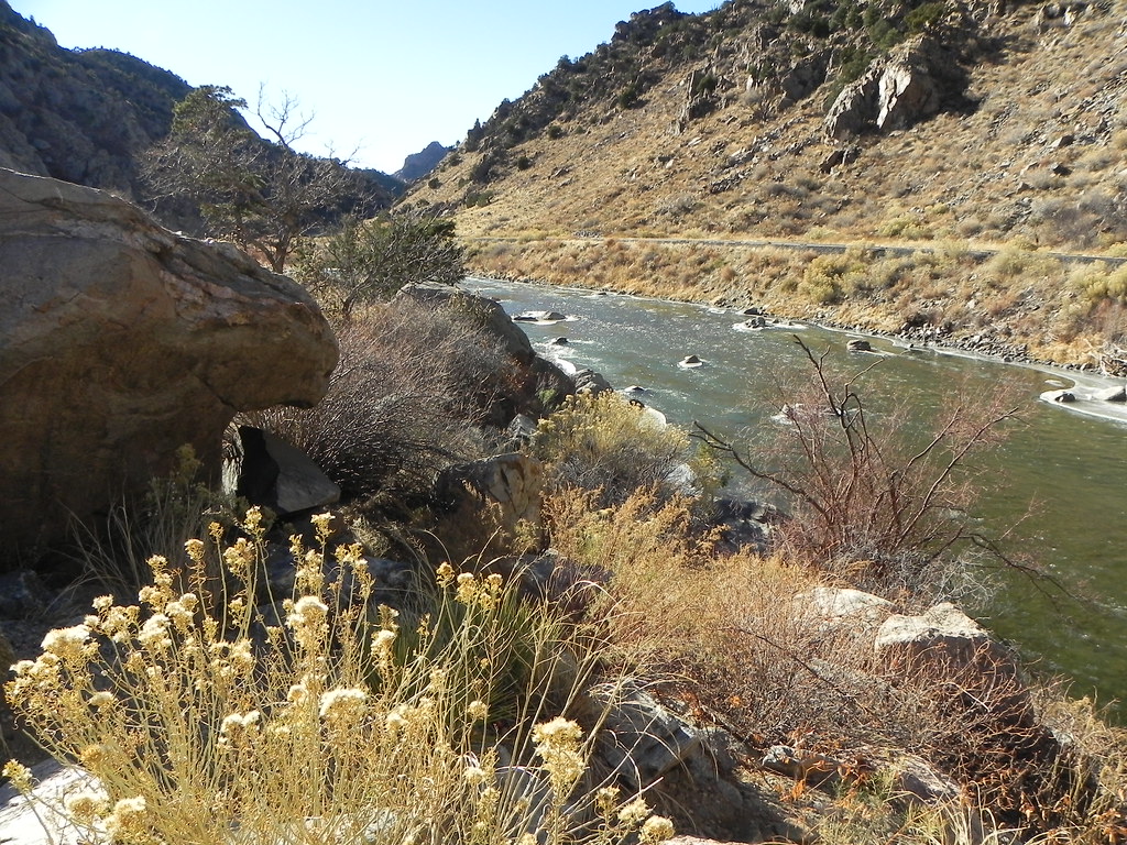
Arkansas River

Arkansas River

iphone pano
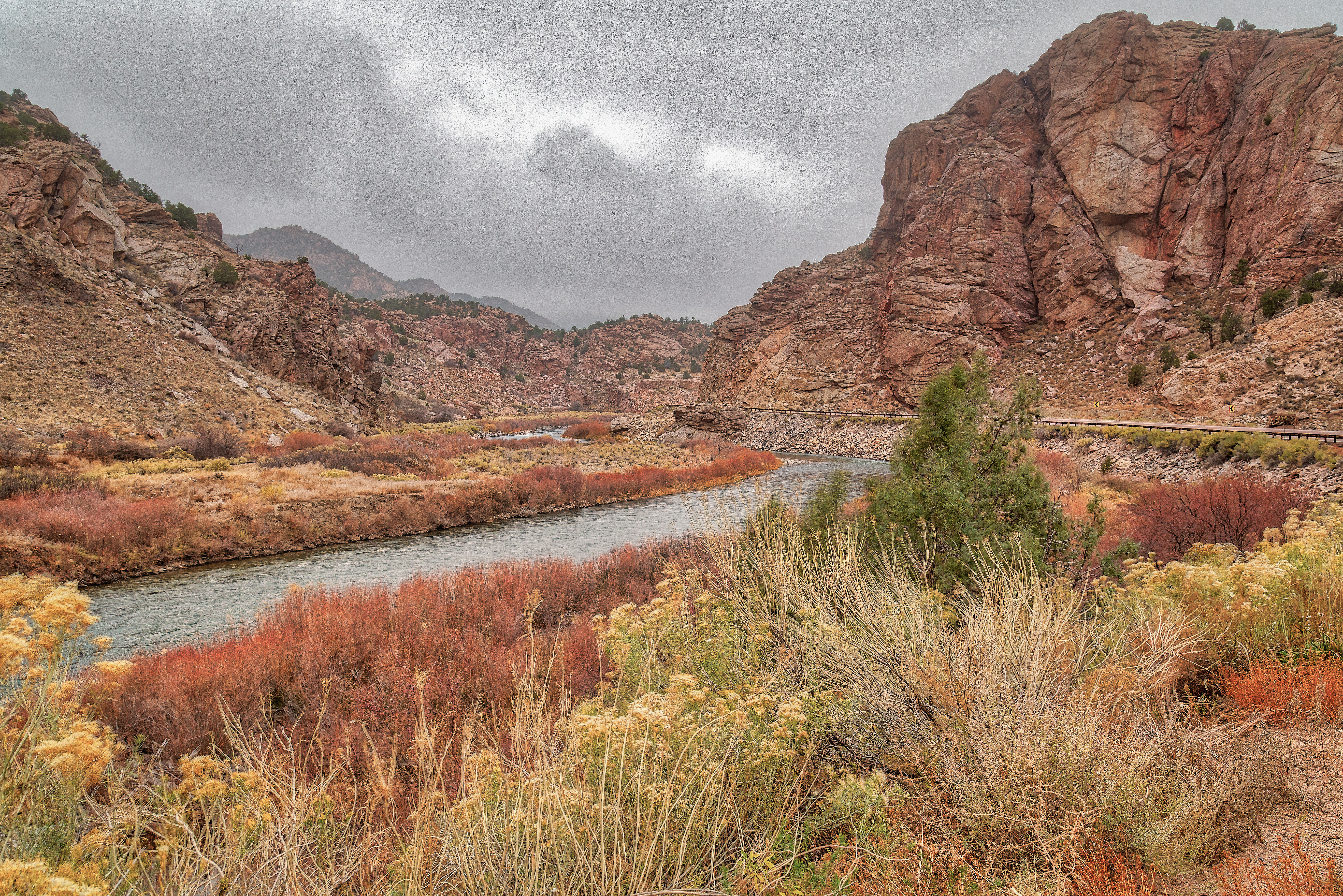
U.S. Route 50 Colorado on the Arkansas River
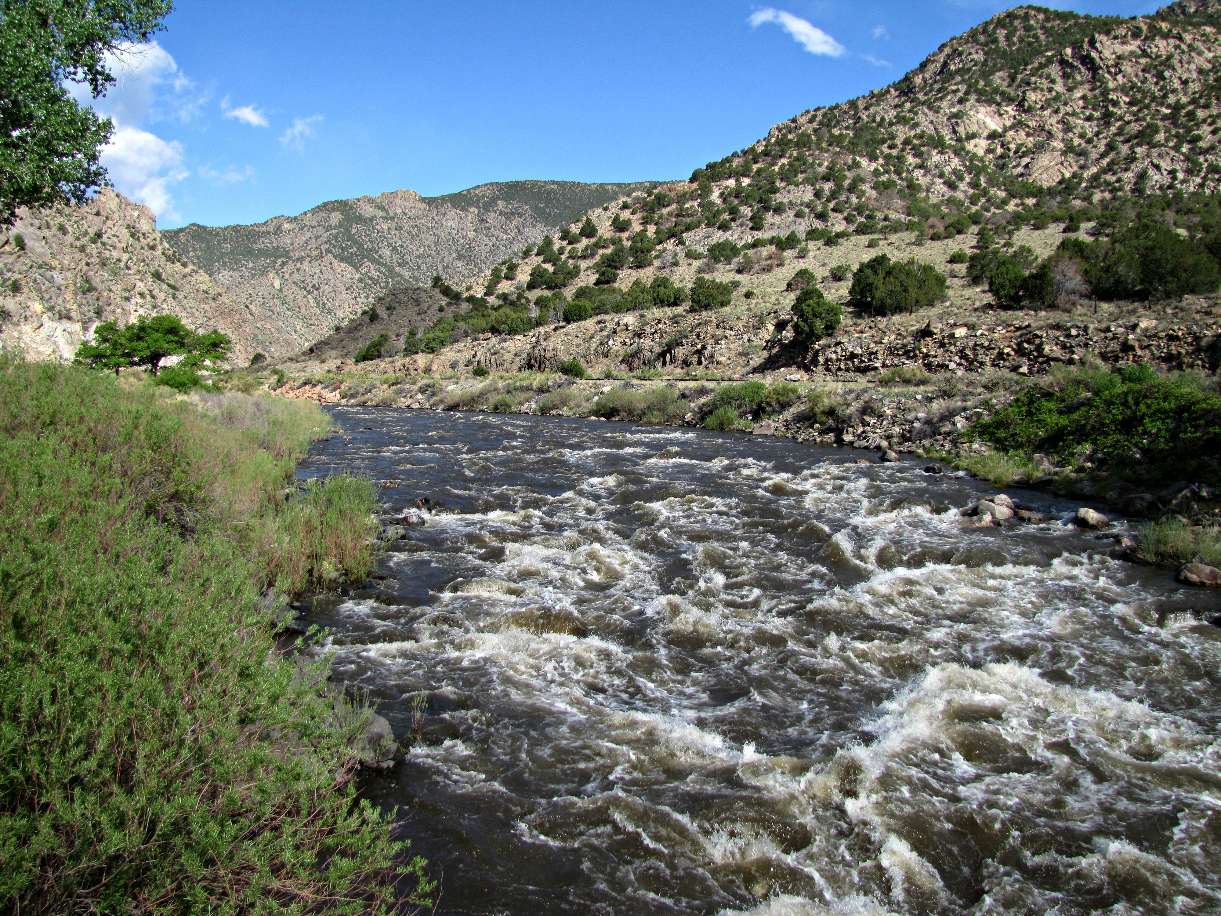
Arkansas River rapids (3 of 3)
Riverside Rusting
Down to the river for a drink
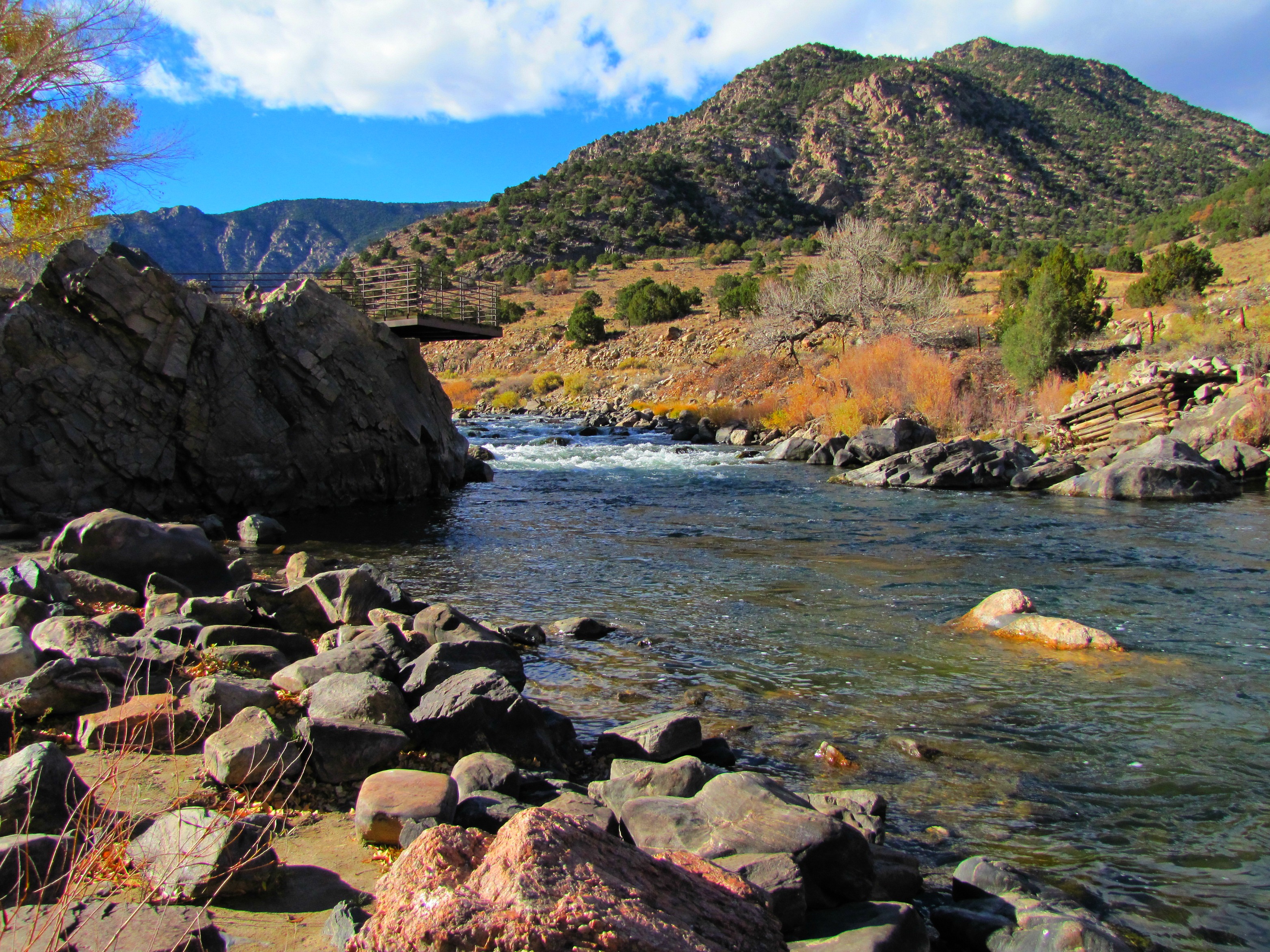
Arkansas River- Fremont County CO (4)

Arkansas River Straddled by the Railroad and US 50
Arkansas River- Fremont County CO (2)
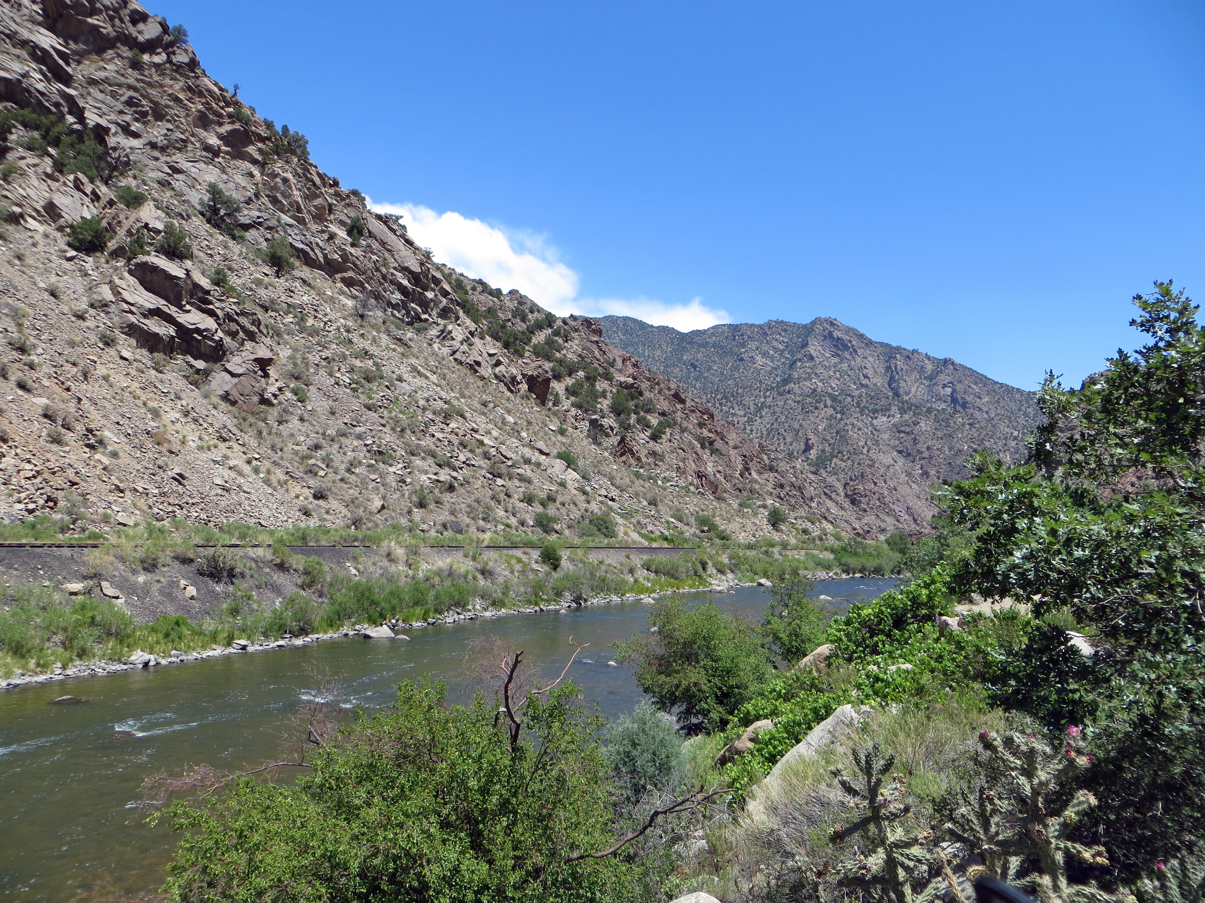
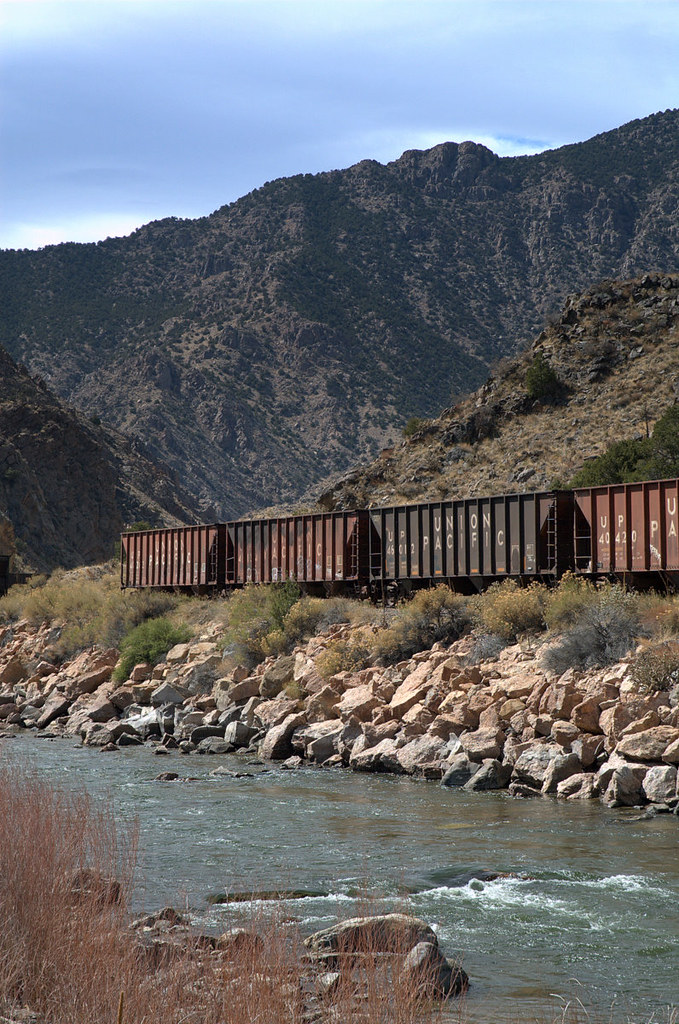
Arkansas River and Railroad Track
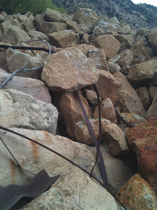
Mixture of Metal
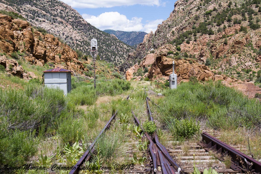
East Switch of Texas Creek
Tumblin' down

IMG_0406 The Arkansas River outside of Texas City, Colorado 38.000d26.000m04.595s N 105.000d32.000m24.785s W
Arkansas Banks
More Rivers
Topographic Map of 47 Lobo Pl, Cotopaxi, CO, USA
Find elevation by address:

Places near 47 Lobo Pl, Cotopaxi, CO, USA:
2423 Co Rd 16
2423 Co Rd 16
2611 Antelope Trail
2611 Antelope Trail
2611 Antelope Trail
4611 Antelope Trail
86 Verde Dr
1029 Antelope Trail
701 Green Mountain Rd
304 Broken Arrow Dr
1631 S T-bar Trail
North Burno Mountain
Walker Way
1000 Walker Way
1147 Allen Rd
1377 S Tallahassee Trail
955 Allen Rd
232 Steven Rd
125 Steven Rd
Stoney Face Mountain
Recent Searches:
- Elevation of Dog Leg Dr, Minden, NV, USA
- Elevation of Dog Leg Dr, Minden, NV, USA
- Elevation of Kambingan Sa Pansol Atbp., Purok 7 Pansol, Candaba, Pampanga, Philippines
- Elevation of Pinewood Dr, New Bern, NC, USA
- Elevation of Mountain View, CA, USA
- Elevation of Foligno, Province of Perugia, Italy
- Elevation of Blauwestad, Netherlands
- Elevation of Bella Terra Blvd, Estero, FL, USA
- Elevation of Estates Loop, Priest River, ID, USA
- Elevation of Woodland Oak Pl, Thousand Oaks, CA, USA