Elevation of Broken Arrow Dr, Cotopaxi, CO, USA
Location: United States > Colorado > Cotopaxi >
Longitude: -105.67644
Latitude: 38.500704
Elevation: 2667m / 8750feet
Barometric Pressure: 73KPa
Elevation Map:
Satellite Map:
Related Photos:
Sangre de Cristo Range and the Rocky Mountains
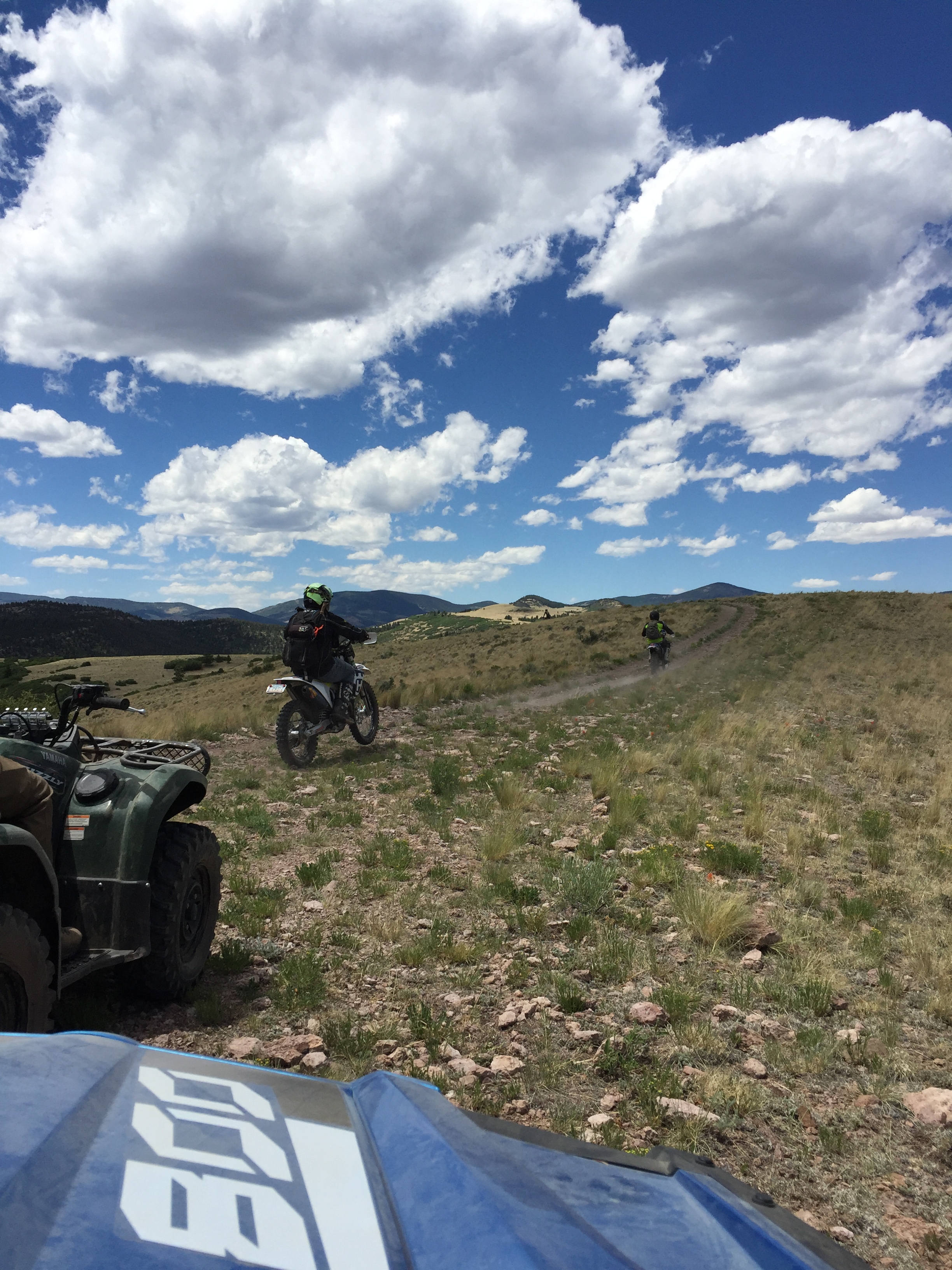
Top OHV Areas: Texas Creek

The rut (6 of 6)

The rut (5 of 6)

The rut (4 of 6)
The Rut (1 of 6)

Top OHV Areas: Texas Creek
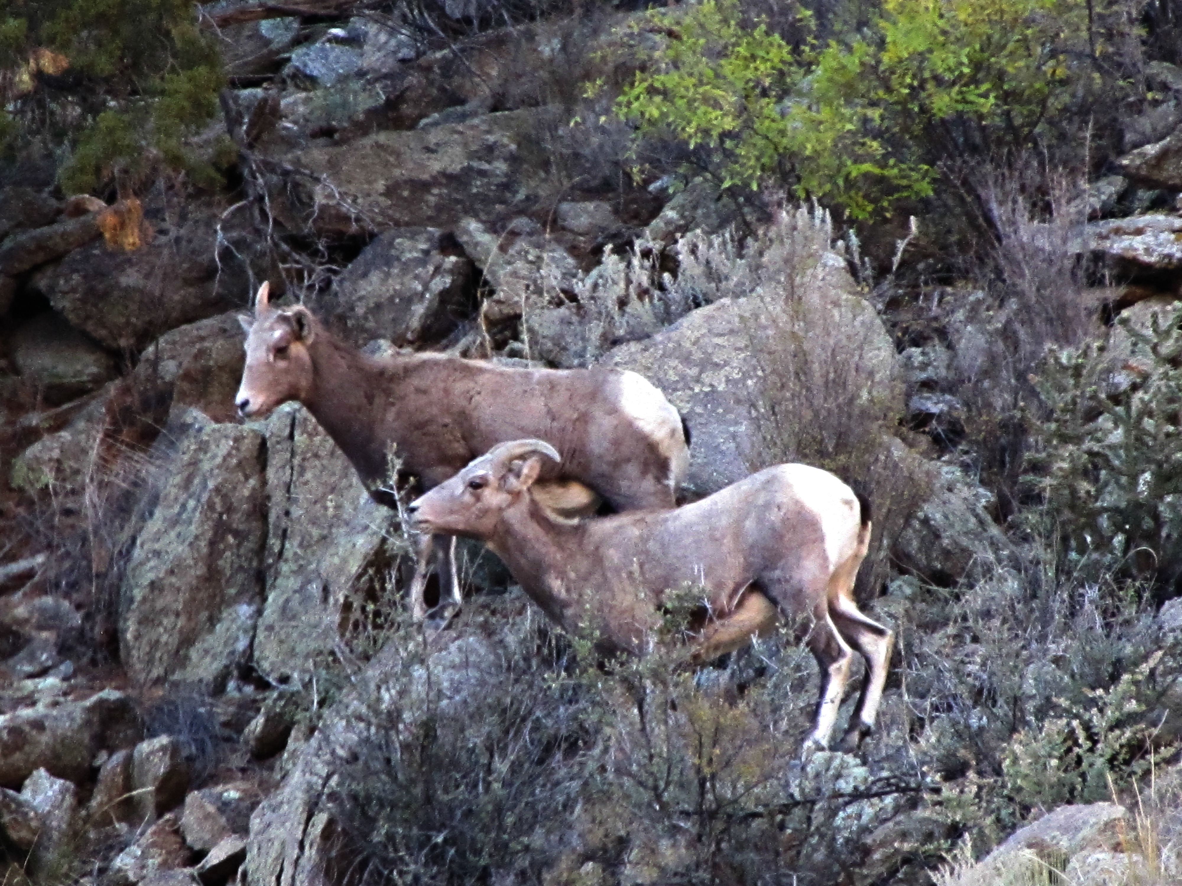
The rut (2 of 6)

U.S. Route 50 Colorado on the Arkansas River

Texas Creek Bridge, Arkansas River, Colorado

Dusk of the Sangre de Cristo Range

Arkansas River- Fremont County CO (3)

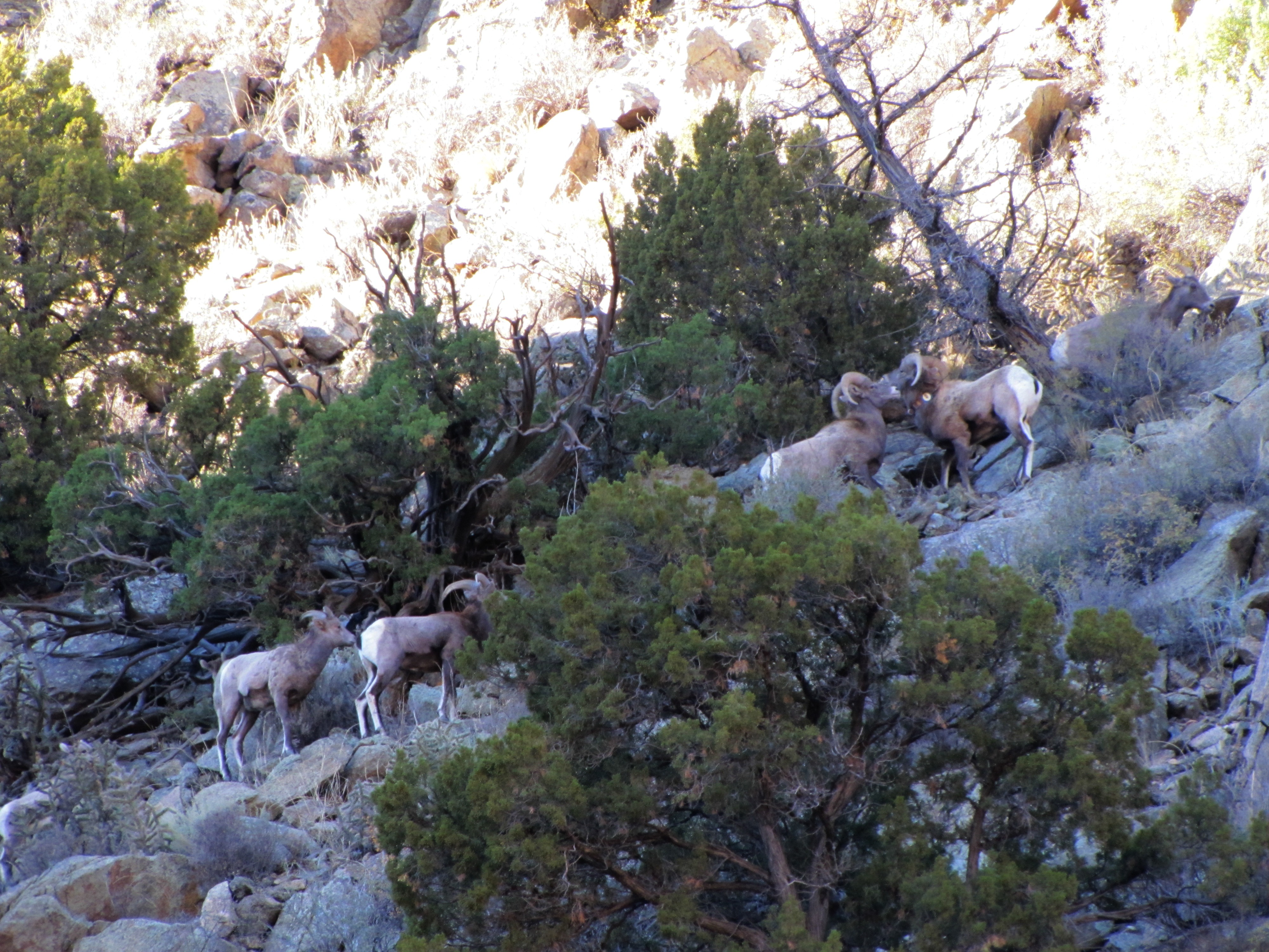
The family that grazes together stays together

iphone pano

Arkansas River

The Twin Sisters, Sangre de Cristo range, Howard, CO

Intermediates East of Salida

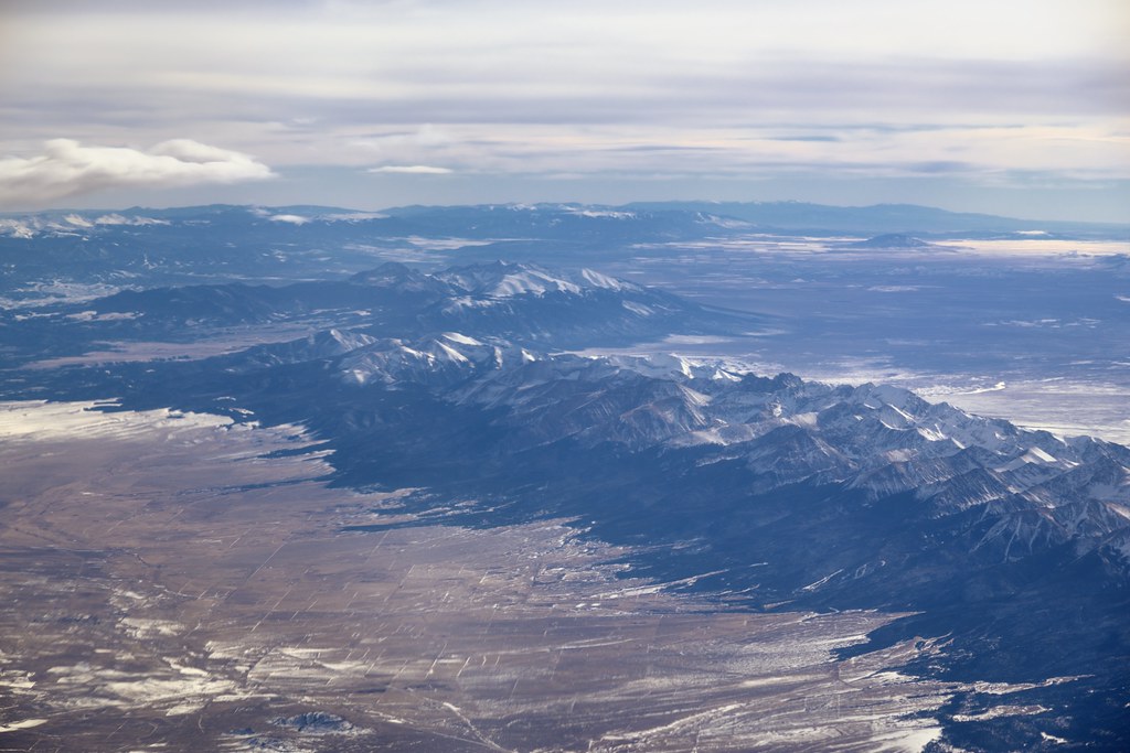
Window Seat | Over Cotopaxi, Colorado | Delta Boeing 757-300

East Howard Bridge, Howard, Colorado

Early winter morning in Cotopaxi

Arkansas Banks

Classic DRGW Sign at Vallie

Texas Creek Bridge

Arkansas River- Fremont County CO (2)

2016-07-29 - 211 of 365

Tumblin' down

20150703_16304701-Edit.jpg

On her perch
Topographic Map of Broken Arrow Dr, Cotopaxi, CO, USA
Find elevation by address:

Places near Broken Arrow Dr, Cotopaxi, CO, USA:
701 Green Mountain Rd
1029 Antelope Trail
North Burno Mountain
86 Verde Dr
4611 Antelope Trail
2611 Antelope Trail
2611 Antelope Trail
2611 Antelope Trail
2423 Co Rd 16
2423 Co Rd 16
47 Lobo Pl
Park Mountain
880 Burno Mountain Rd
1631 S T-bar Trail
Stoney Face Mountain
Walker Way
1000 Walker Way
1377 S Tallahassee Trail
South Tallahassee Trail
700 Valley Vista Trail
Recent Searches:
- Elevation of Erika Dr, Windsor, CA, USA
- Elevation of Village Ln, Finleyville, PA, USA
- Elevation of 24 Oakland Rd #, Scotland, ON N0E 1R0, Canada
- Elevation of Deep Gap Farm Rd E, Mill Spring, NC, USA
- Elevation of Dog Leg Dr, Minden, NV, USA
- Elevation of Dog Leg Dr, Minden, NV, USA
- Elevation of Kambingan Sa Pansol Atbp., Purok 7 Pansol, Candaba, Pampanga, Philippines
- Elevation of Pinewood Dr, New Bern, NC, USA
- Elevation of Mountain View, CA, USA
- Elevation of Foligno, Province of Perugia, Italy