Elevation of - Farview Hill Rd, Grayson, KY, USA
Location: United States > Kentucky > Carter County > Grayson >
Longitude: -82.921115
Latitude: 38.2849614
Elevation: 204m / 669feet
Barometric Pressure: 99KPa
Elevation Map:
Satellite Map:
Related Photos:
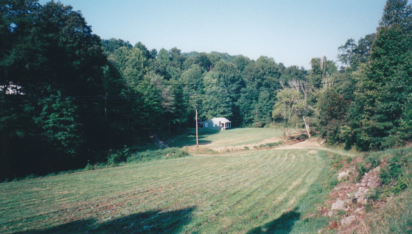
537-954-21
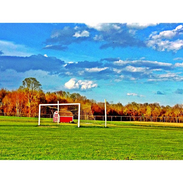
This evenings soccer venue

Aden Railroad Bridge

6-6-15 080
6-6-15 081

6-6-15 089
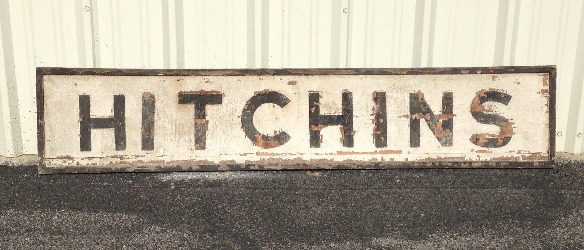
Hitchins KY Depot Sign

Word Challenge 43- butterfly

Tree Swallow

Spicebush Swallowtail

Brown-headed Cowbird

#sunrise in the mountains of Eastern Kentucky #roadtrip #travel

Word Challenge 19- Butterflies
6-6-15 082
6-6-15 083
6-6-15 084

6-6-15 085

6-6-15 086

6-6-15 087

6-6-15 088

6-6-15 090

6-6-15 091

6-6-15 092
Topographic Map of - Farview Hill Rd, Grayson, KY, USA
Find elevation by address:

Places near - Farview Hill Rd, Grayson, KY, USA:
0 Jensen Dr
Jensen Drive
Hitchens Rd, Grayson, KY, USA
Hitchens Rd, Grayson, KY, USA
133 Reatta St
Grayson
408 Indian Hills Rd
KY-, Grayson, KY, USA
152 Williams Creek
Webbville
KY-, Webbville, KY, USA
134 Homestead Dr
KY-, Sandy Hook, KY, USA
149 S Commerce Dr
Hogston Cemetery Road
KY-, Webbville, KY, USA
KY-, Webbville, KY, USA
Brush Creek Rd, Argillite, KY, USA
Kentucky 828 & Shady Grove Road
3310 Culp Creek Rd
Recent Searches:
- Elevation of Corso Fratelli Cairoli, 35, Macerata MC, Italy
- Elevation of Tallevast Rd, Sarasota, FL, USA
- Elevation of 4th St E, Sonoma, CA, USA
- Elevation of Black Hollow Rd, Pennsdale, PA, USA
- Elevation of Oakland Ave, Williamsport, PA, USA
- Elevation of Pedrógão Grande, Portugal
- Elevation of Klee Dr, Martinsburg, WV, USA
- Elevation of Via Roma, Pieranica CR, Italy
- Elevation of Tavkvetili Mountain, Georgia
- Elevation of Hartfords Bluff Cir, Mt Pleasant, SC, USA