Elevation of Hogston Cemetery Road, Hogston Cemetery Rd, Kentucky, USA
Location: United States > Kentucky > Elliott County > Webbville >
Longitude: -82.805155
Latitude: 38.1284273
Elevation: 323m / 1060feet
Barometric Pressure: 98KPa
Elevation Map:
Satellite Map:
Related Photos:
537-954-21
On my Way to see my friend #Savannah in #Baltimore #Maryland

Eagle Ridge Golf Course, Yatesville Lake State Park, Louisa, KY
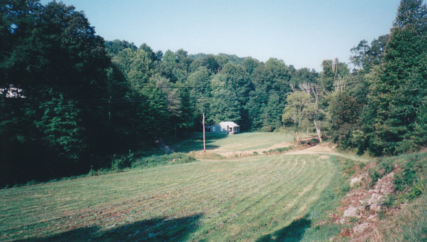
Till the Cows Come Home
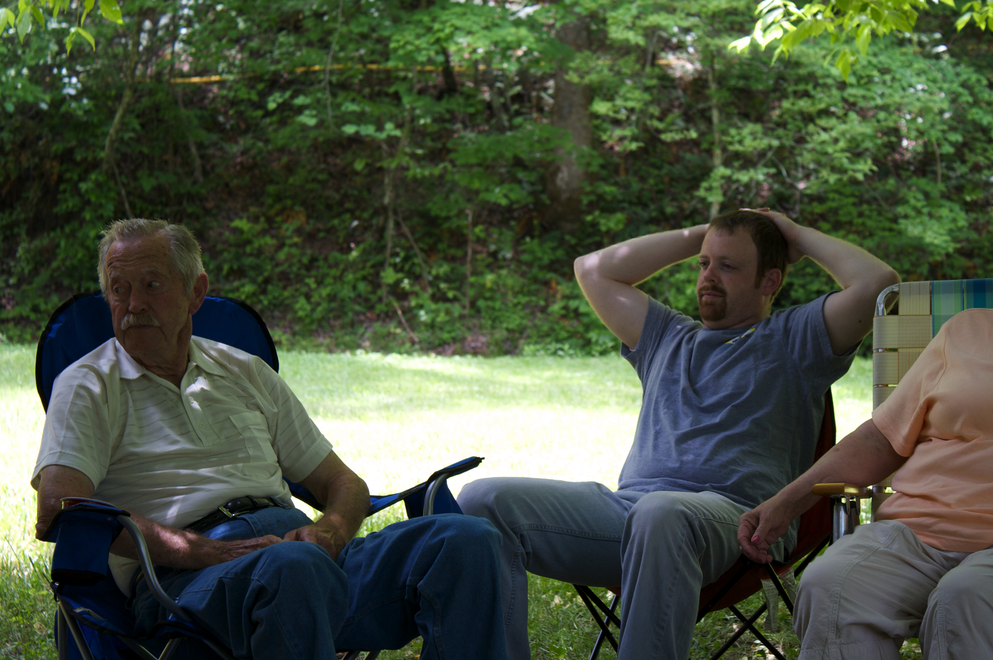
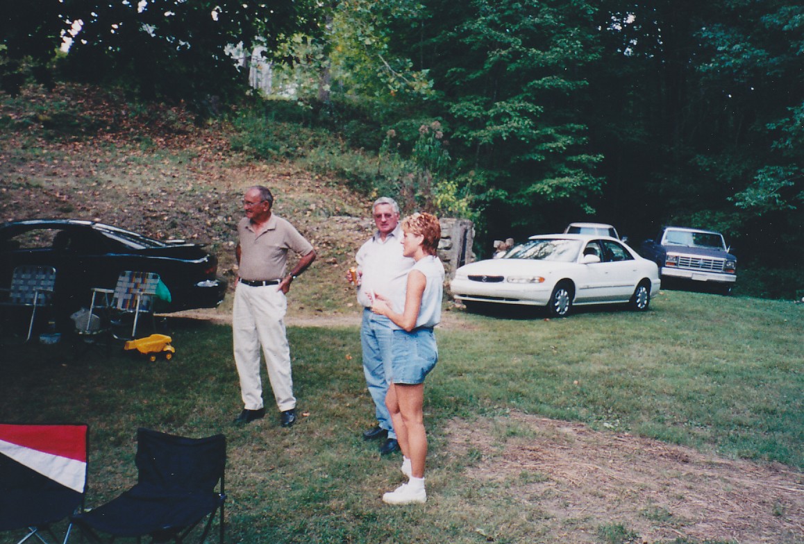
Uncle Harry, Cousin Doug, & part of Aunt Christine
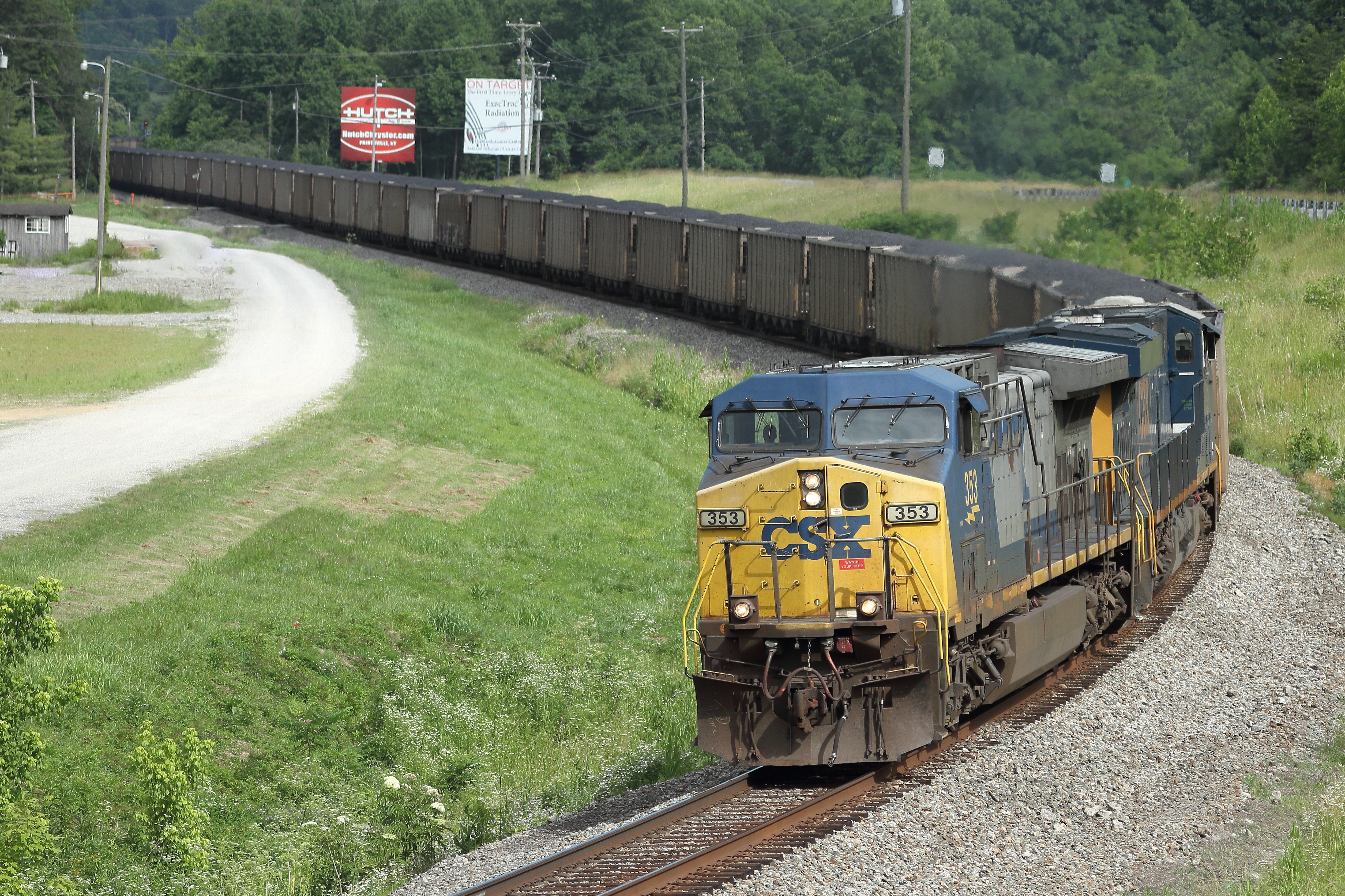
CSXT 353 West in Louisa, Kentucky on June 10, 2016.

still morning on the lake

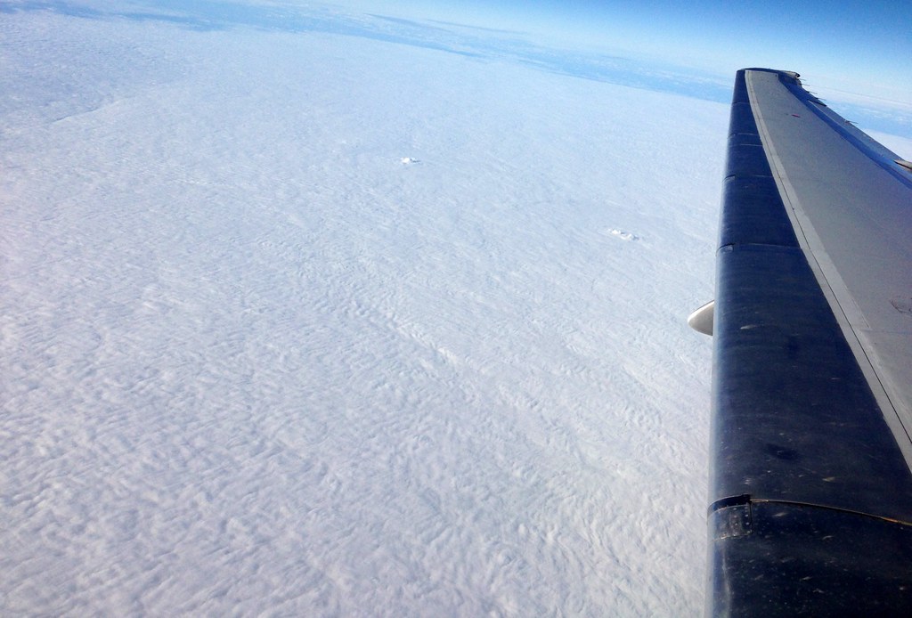
preparing for take off
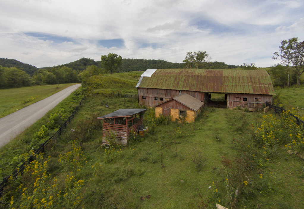
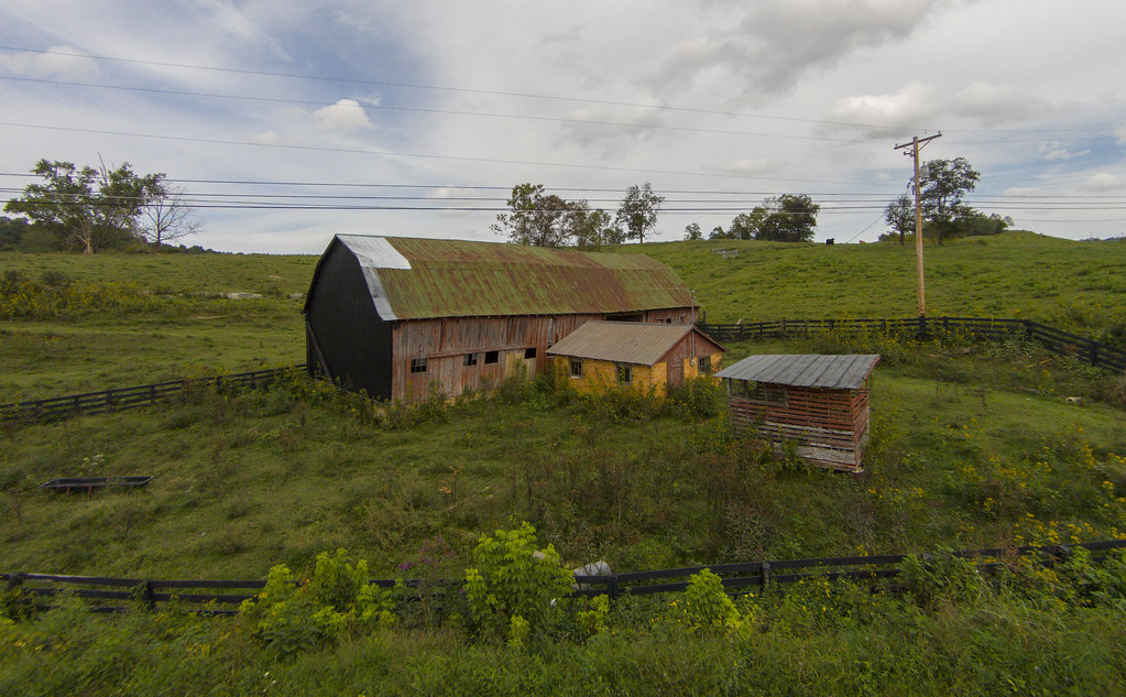
The Old Red Barn on The Hill
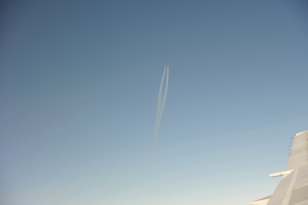
A plane passes below us over Fort Gay, West Virginia

Exxon Station, Louisa, Kentucky
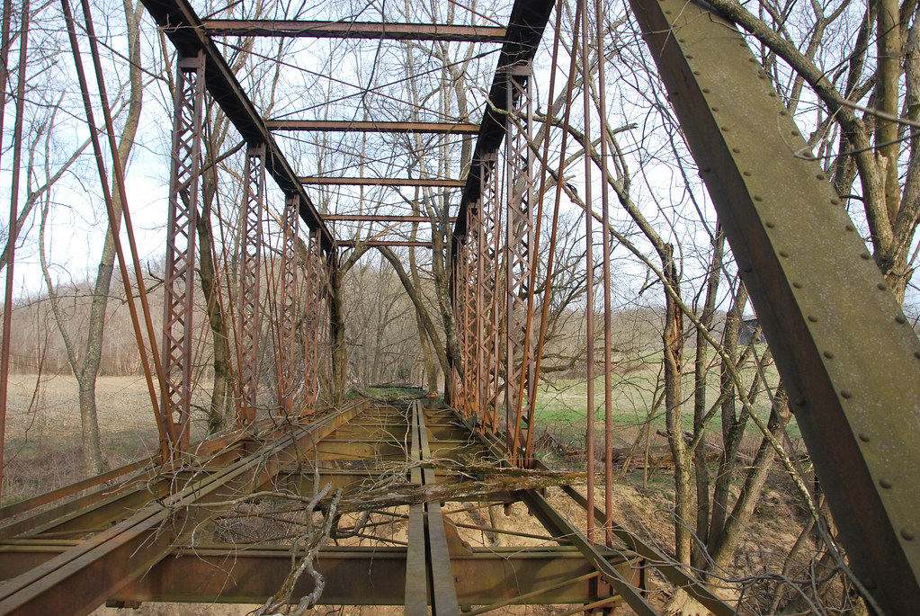
Eastern Kentucky Railroad Bridge
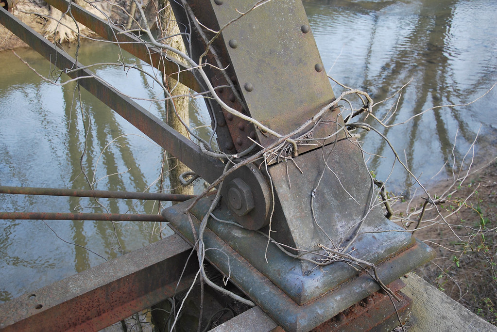
Eastern Kentucky Railroad Bridge

Eastern Kentucky Railroad Bridge

Black-billed Cuckoo

Freedom!
someday, I will be in this photo [2011-365-148]
966-993-01
966-993-06
966-993-07
966-993-03
Topographic Map of Hogston Cemetery Road, Hogston Cemetery Rd, Kentucky, USA
Find elevation by address:

Places near Hogston Cemetery Road, Hogston Cemetery Rd, Kentucky, USA:
Kentucky 828 & Shady Grove Road
KY-, Webbville, KY, USA
KY-, Webbville, KY, USA
Lawrence County
KY-32, Adams, KY, USA
149 Top Of World Dr
Blaine
KY-, Blaine, KY, USA
Adams
Yatesville Lake Cabin Rental
Yatesville Lake State Park
316 Timberlake Dr
1004 Tark Hill Rd
KY-32, Louisa, KY, USA
Busseyville
KY-, Sandy Hook, KY, USA
Noris Fork Rd, Louisa, KY, USA
Noris Fork Road
Five Forks Road
KY-, Flatgap, KY, USA
Recent Searches:
- Elevation of Royal Ontario Museum, Queens Park, Toronto, ON M5S 2C6, Canada
- Elevation of Groblershoop, South Africa
- Elevation of Power Generation Enterprises | Industrial Diesel Generators, Oak Ave, Canyon Country, CA, USA
- Elevation of Chesaw Rd, Oroville, WA, USA
- Elevation of N, Mt Pleasant, UT, USA
- Elevation of 6 Rue Jules Ferry, Beausoleil, France
- Elevation of Sattva Horizon, 4JC6+G9P, Vinayak Nagar, Kattigenahalli, Bengaluru, Karnataka, India
- Elevation of Great Brook Sports, Gold Star Hwy, Groton, CT, USA
- Elevation of 10 Mountain Laurels Dr, Nashua, NH, USA
- Elevation of 16 Gilboa Ln, Nashua, NH, USA