Elevation of KY-, Sandy Hook, KY, USA
Location: United States > Kentucky > Elliott County > Sandy Hook >
Longitude: -82.958798
Latitude: 38.1356876
Elevation: 211m / 692feet
Barometric Pressure: 99KPa
Elevation Map:
Satellite Map:
Related Photos:
537-954-21

Clifty Creek Falls on Grayson Lake, KY

Small waterfall at Grayson Lake.
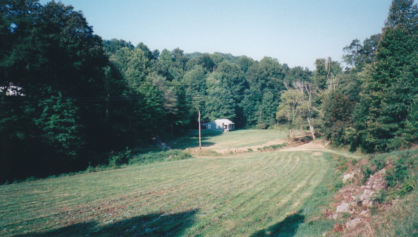
Near Sandy Hook, Kentucky

dove season

in the woods v2

Better Off

Word Challenge 43- butterfly

Red Admiral

Tree Swallow

Spicebush Swallowtail

Brown-headed Cowbird

Word Challenge 19- Butterflies
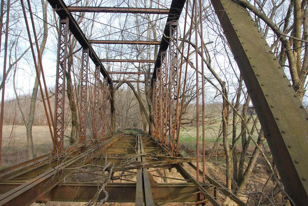
Eastern Kentucky Railroad Bridge
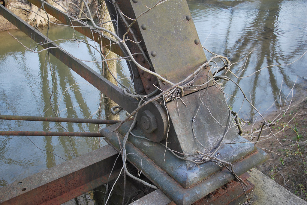
Eastern Kentucky Railroad Bridge

Eastern Kentucky Railroad Bridge
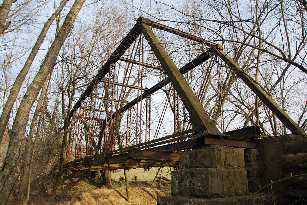
Eastern Kentucky Railroad Bridge

Black-billed Cuckoo

gotta love me....
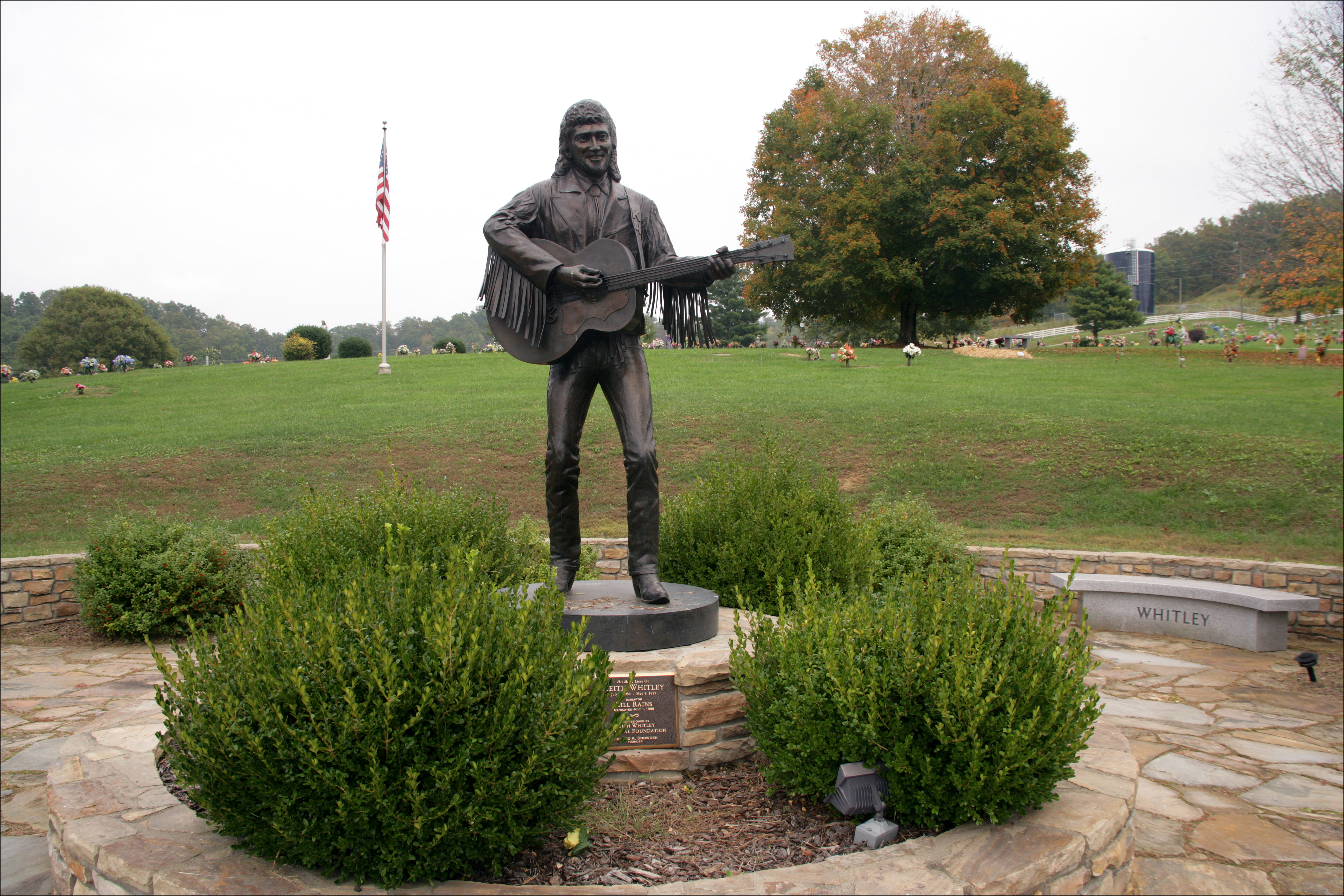
Keith Whitley, Sandy Hook
Topographic Map of KY-, Sandy Hook, KY, USA
Find elevation by address:

Places near KY-, Sandy Hook, KY, USA:
KY-, Webbville, KY, USA
KY-, Webbville, KY, USA
Hogston Cemetery Road
Blaine
KY-, Blaine, KY, USA
1004 Tark Hill Rd
Kentucky 828 & Shady Grove Road
Lawrence County
KY-, Flatgap, KY, USA
149 Top Of World Dr
KY-32, Adams, KY, USA
Adams
Noris Fork Rd, Louisa, KY, USA
Yatesville Lake Cabin Rental
Noris Fork Road
Yatesville Lake State Park
KY-32, Louisa, KY, USA
316 Timberlake Dr
Busseyville
Five Forks Road
Recent Searches:
- Elevation of Corso Fratelli Cairoli, 35, Macerata MC, Italy
- Elevation of Tallevast Rd, Sarasota, FL, USA
- Elevation of 4th St E, Sonoma, CA, USA
- Elevation of Black Hollow Rd, Pennsdale, PA, USA
- Elevation of Oakland Ave, Williamsport, PA, USA
- Elevation of Pedrógão Grande, Portugal
- Elevation of Klee Dr, Martinsburg, WV, USA
- Elevation of Via Roma, Pieranica CR, Italy
- Elevation of Tavkvetili Mountain, Georgia
- Elevation of Hartfords Bluff Cir, Mt Pleasant, SC, USA