Elevation of Sandy Hook, KY, USA
Location: United States > Kentucky > Elliott County >
Longitude: -83.126283
Latitude: 38.0864739
Elevation: 234m / 768feet
Barometric Pressure: 99KPa
Elevation Map:
Satellite Map:
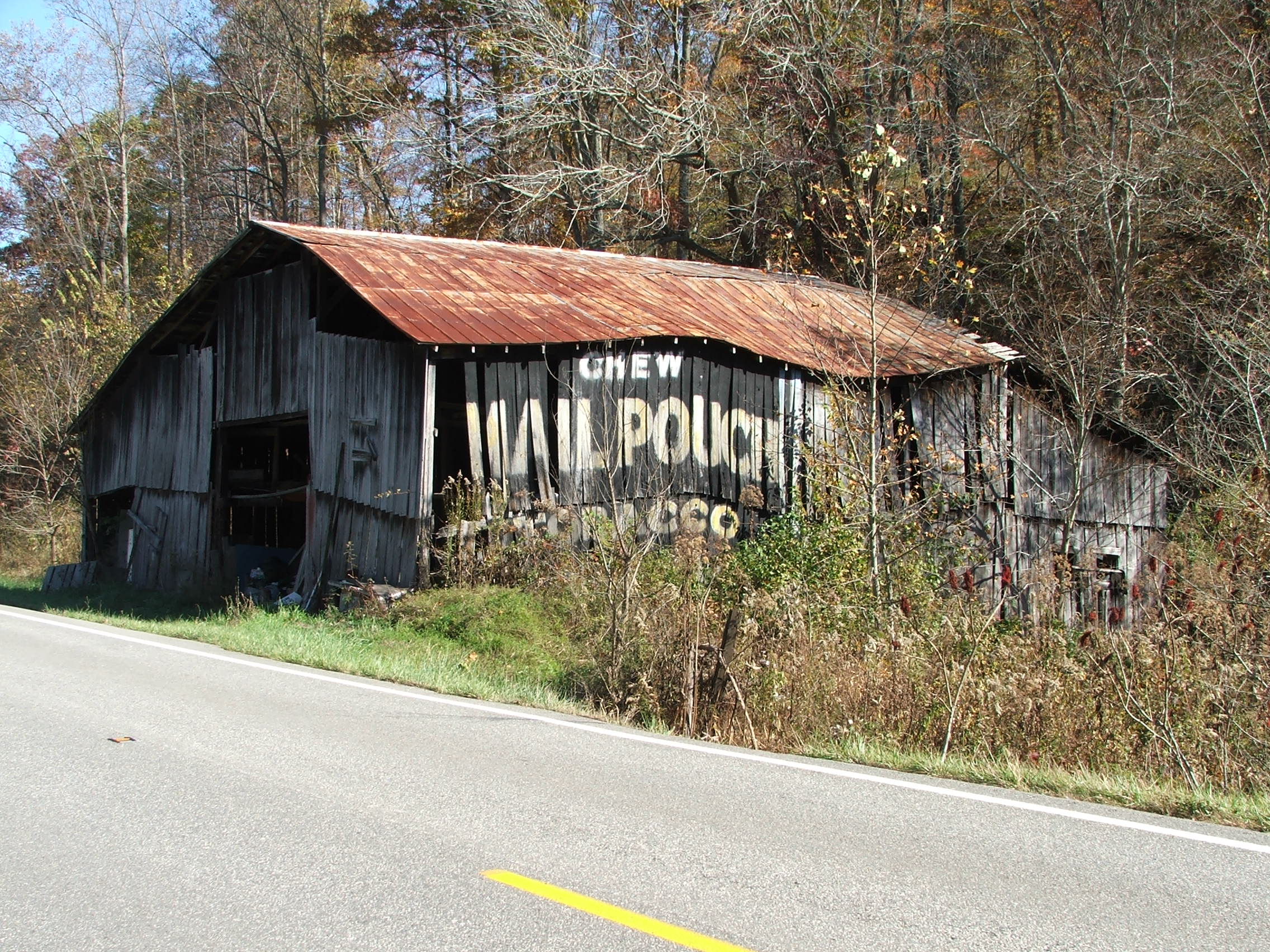
Related Photos:
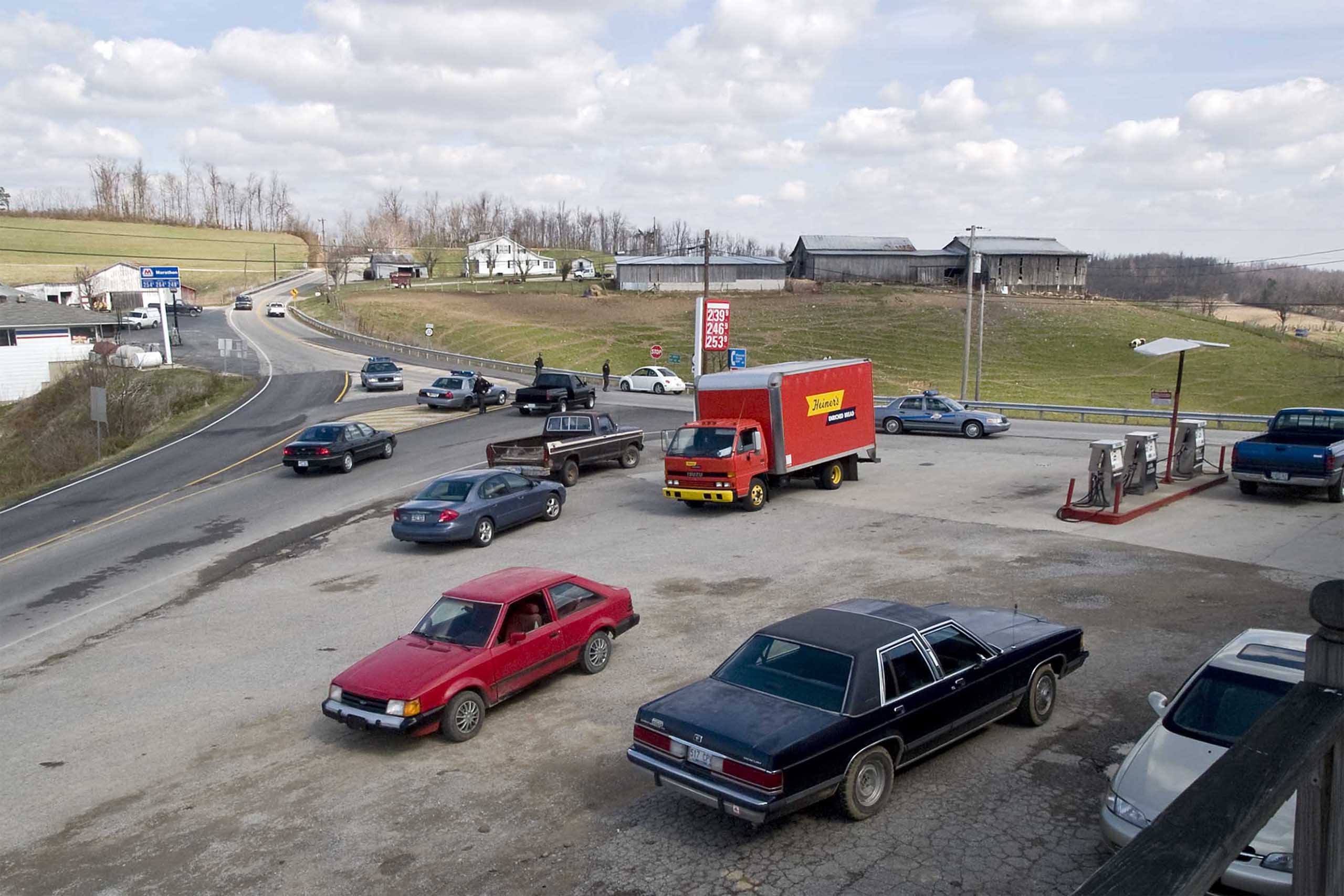
Police Checkpoint

The Old Swimmin' Hole

2013: last breath

Gravity Is a Harsh Mistress
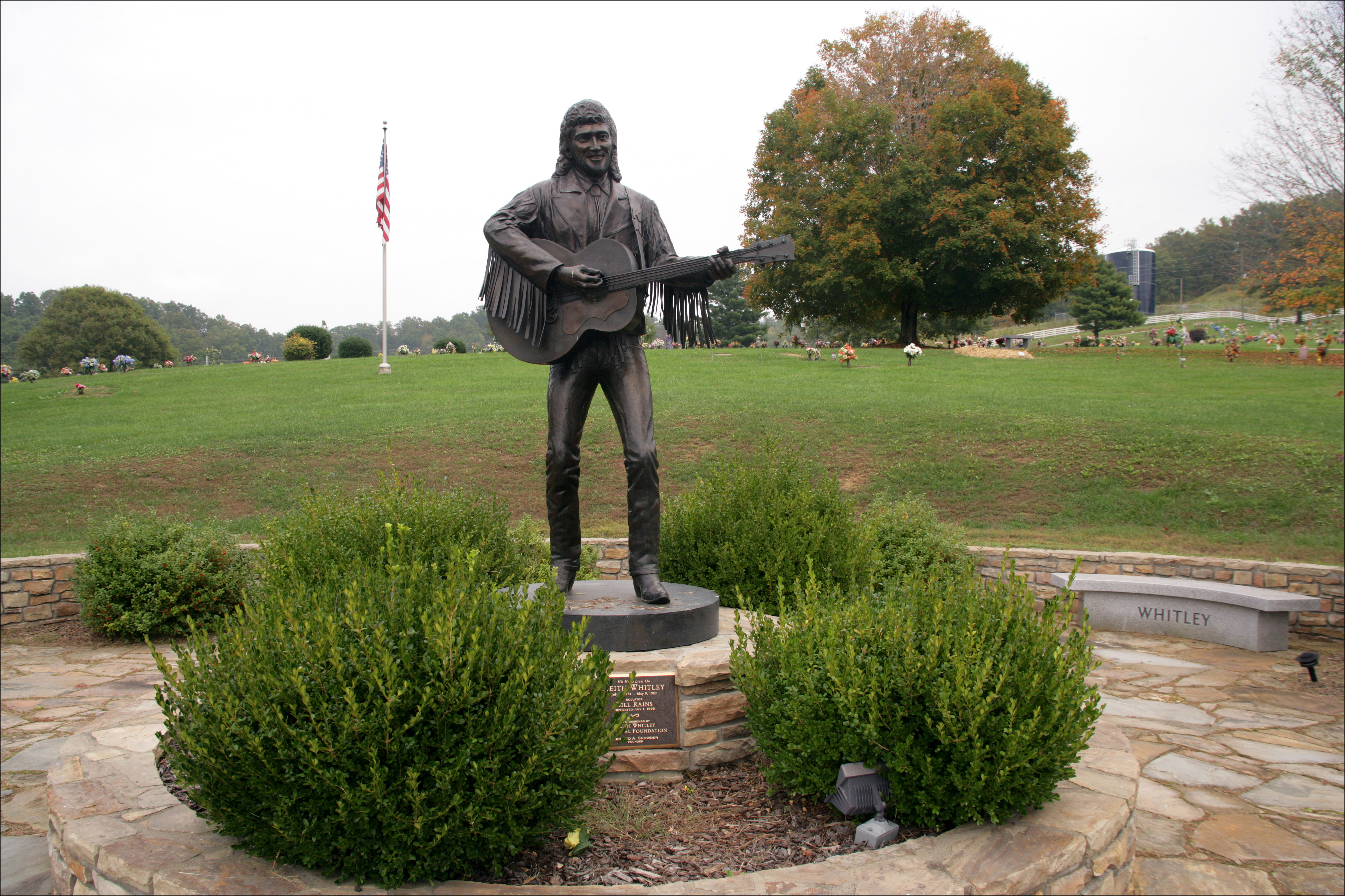
Keith Whitley, Sandy Hook
Near Sandy Hook, Kentucky
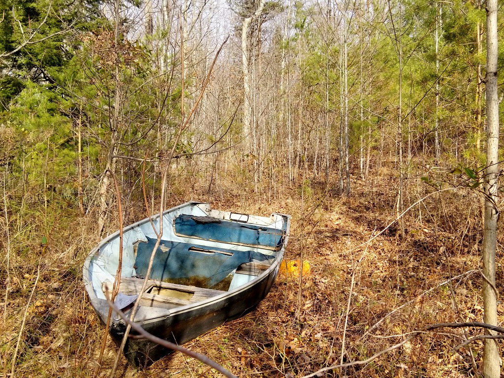
I Found Your Boat

Better Off
Day 3 of the trip 273

Day 3 of the trip 213
Day 3 of the trip 119
Day 3 of the trip 049

The Truth Seeps Through

Redco Camera Cable
MPB 17-32-04 Elliot County, Kentucky
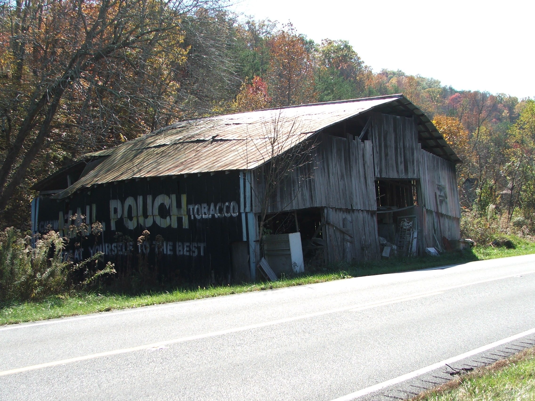
MPB 17-32-04, Elliot County, Kentucky
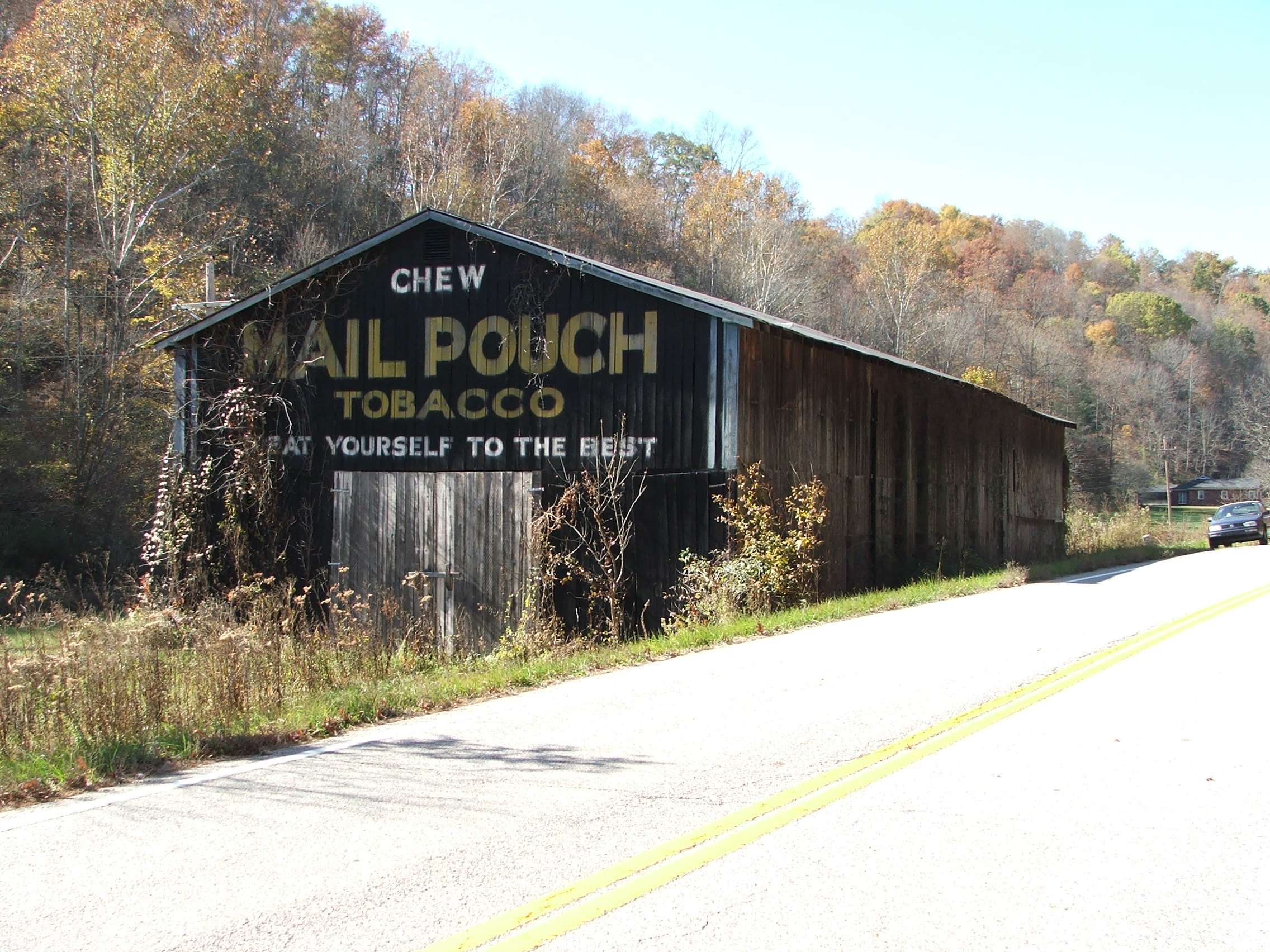
MPB 17-32-02 Elliot County, Kentucky
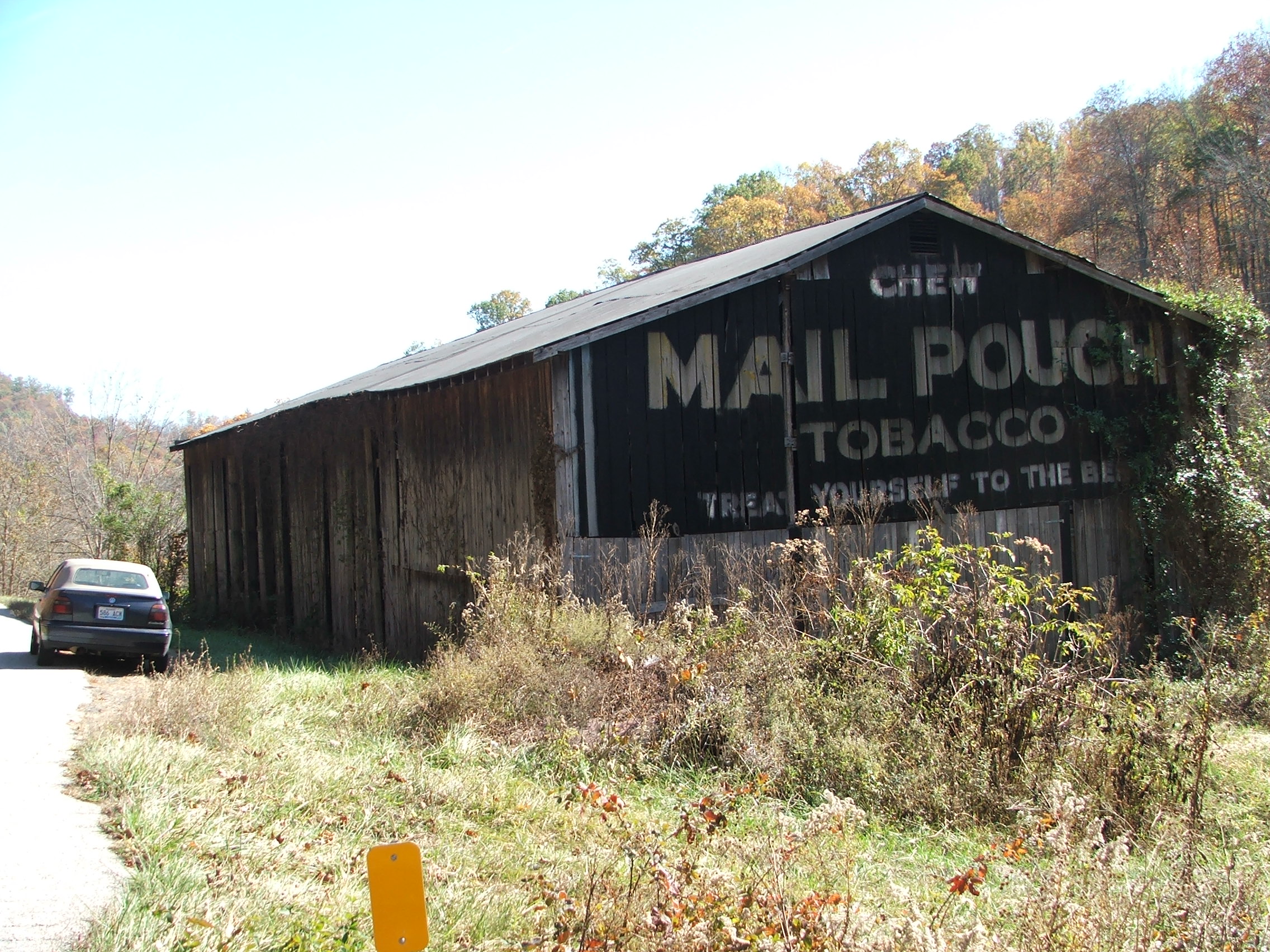
MPB 17-32-02 Elliot County, Kentucky
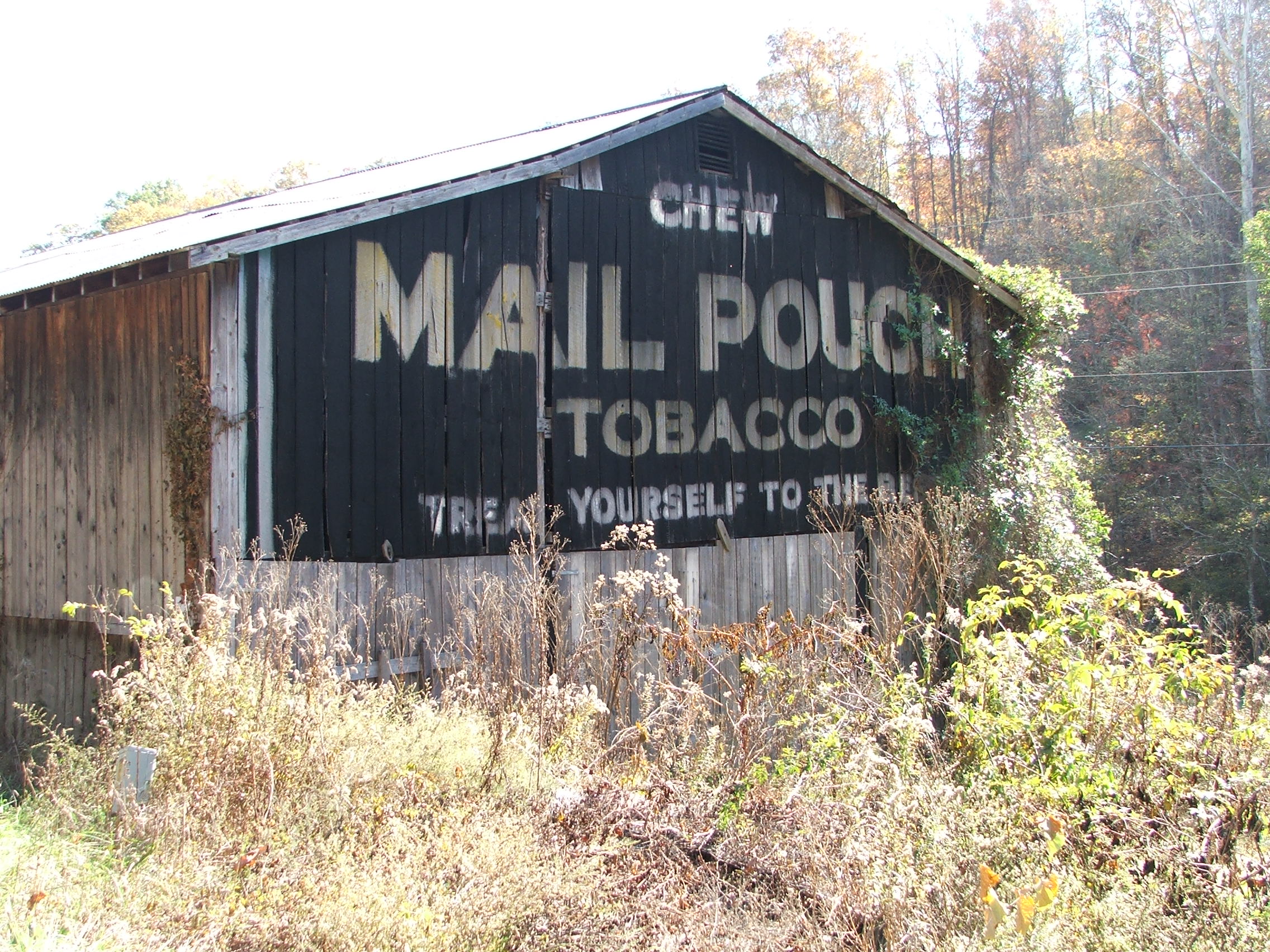
MPB 17-32-02, Elliot Co, Kentucky
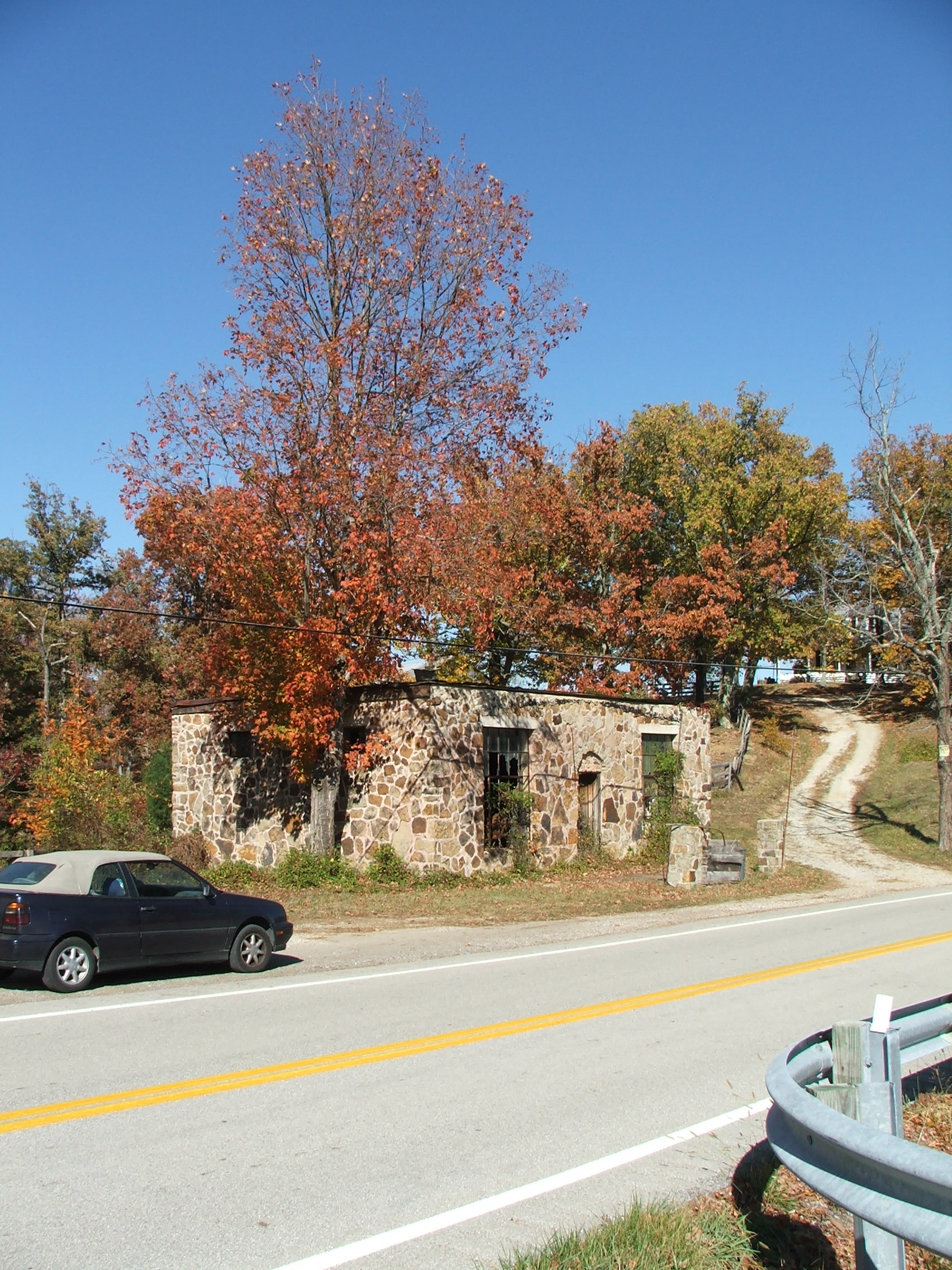
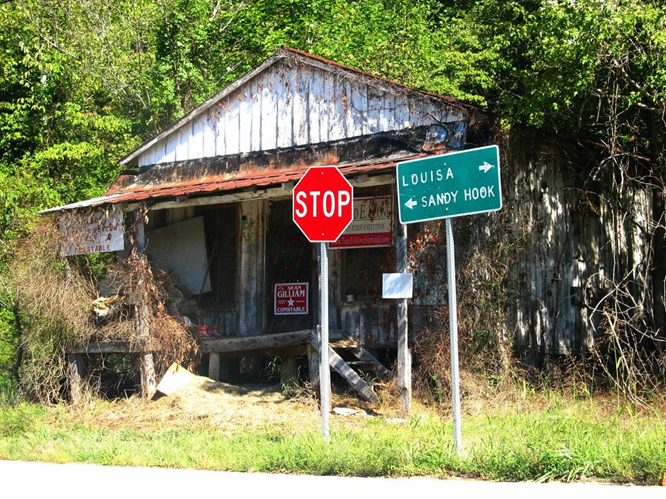
KY 32 stone store
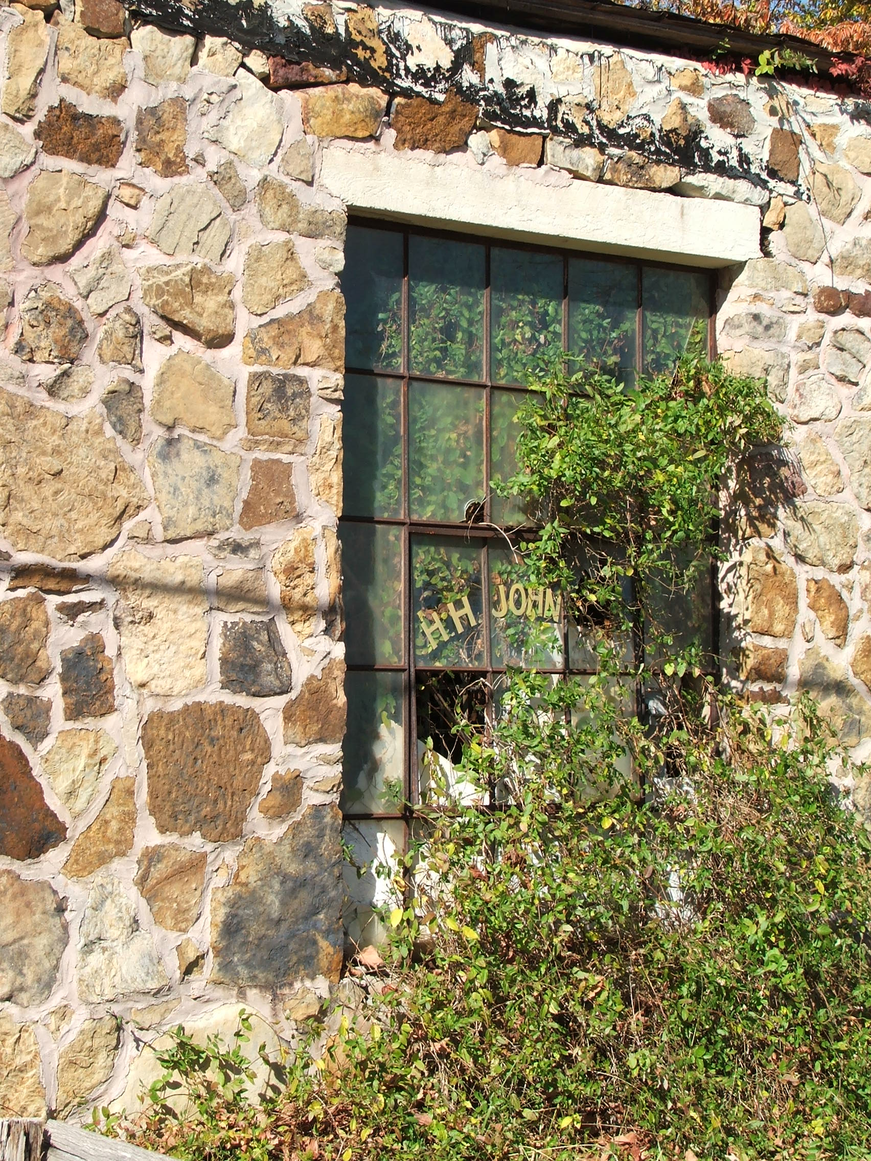
H.H. Johnson store/gas station
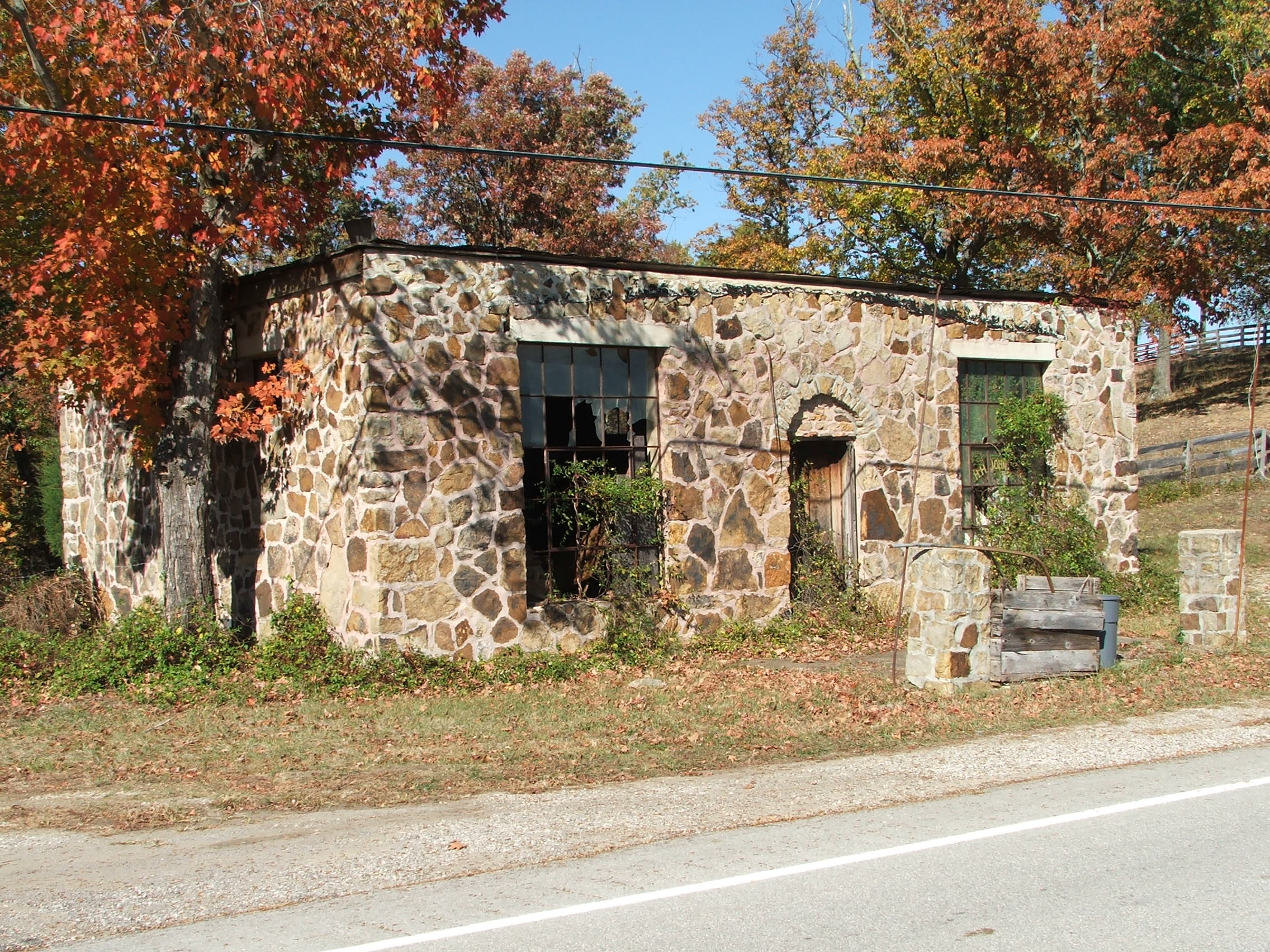
H.H. Johnson store/gas station
Topographic Map of Sandy Hook, KY, USA
Find elevation by address:

Places in Sandy Hook, KY, USA:
Places near Sandy Hook, KY, USA:
Mobley Street
Patrick Hollow
KY-7, West Liberty, KY, USA
108 Simmons Loop
Blevins Road
Elliott County
4907 Ky-7
Turkey Branch Road
Turkey Branch Road
Spanglin
11610 Ky-7
2071 Trent Ridge Rd
504 Volunteer Fire Department
KY-, Sandy Hook, KY, USA
Conn Rd, Morehead, KY, USA
9116 State Hwy 711
Grayson Lake State Park
State Hwy, Olive Hill, KY, USA
KY-7, West Liberty, KY, USA
325 Dudley Ridge
Recent Searches:
- Elevation of Rojo Ct, Atascadero, CA, USA
- Elevation of Flagstaff Drive, Flagstaff Dr, North Carolina, USA
- Elevation of Avery Ln, Lakeland, FL, USA
- Elevation of Woolwine, VA, USA
- Elevation of Lumagwas Diversified Farmers Multi-Purpose Cooperative, Lumagwas, Adtuyon, RV32+MH7, Pangantucan, Bukidnon, Philippines
- Elevation of Homestead Ridge, New Braunfels, TX, USA
- Elevation of Orchard Road, Orchard Rd, Marlborough, NY, USA
- Elevation of 12 Hutchinson Woods Dr, Fletcher, NC, USA
- Elevation of Holloway Ave, San Francisco, CA, USA
- Elevation of Norfolk, NY, USA