Elevation of KY-32, Adams, KY, USA
Location: United States > Kentucky > Lawrence County > Adams >
Longitude: -82.758156
Latitude: 38.0612775
Elevation: 233m / 764feet
Barometric Pressure: 99KPa
Elevation Map:
Satellite Map:
Related Photos:
537-954-21
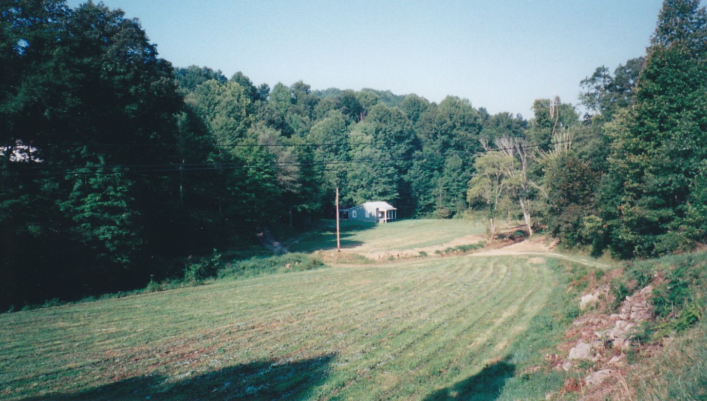
Till the Cows Come Home
IMG_0160.jpg

Eagle Ridge Golf Course, Yatesville Lake State Park, Louisa, KY
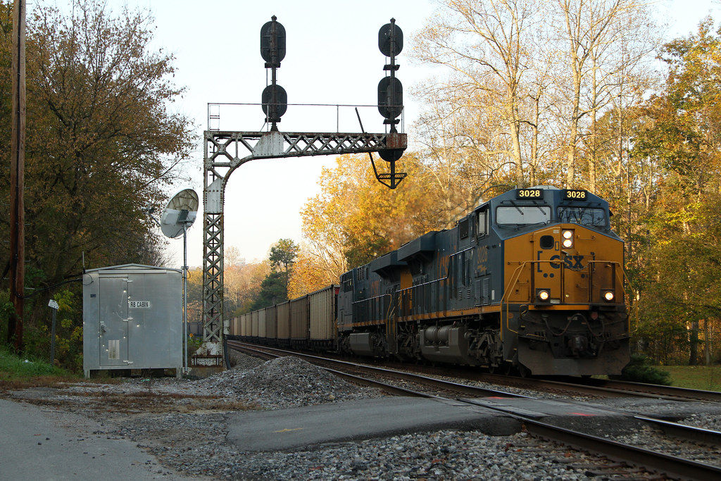
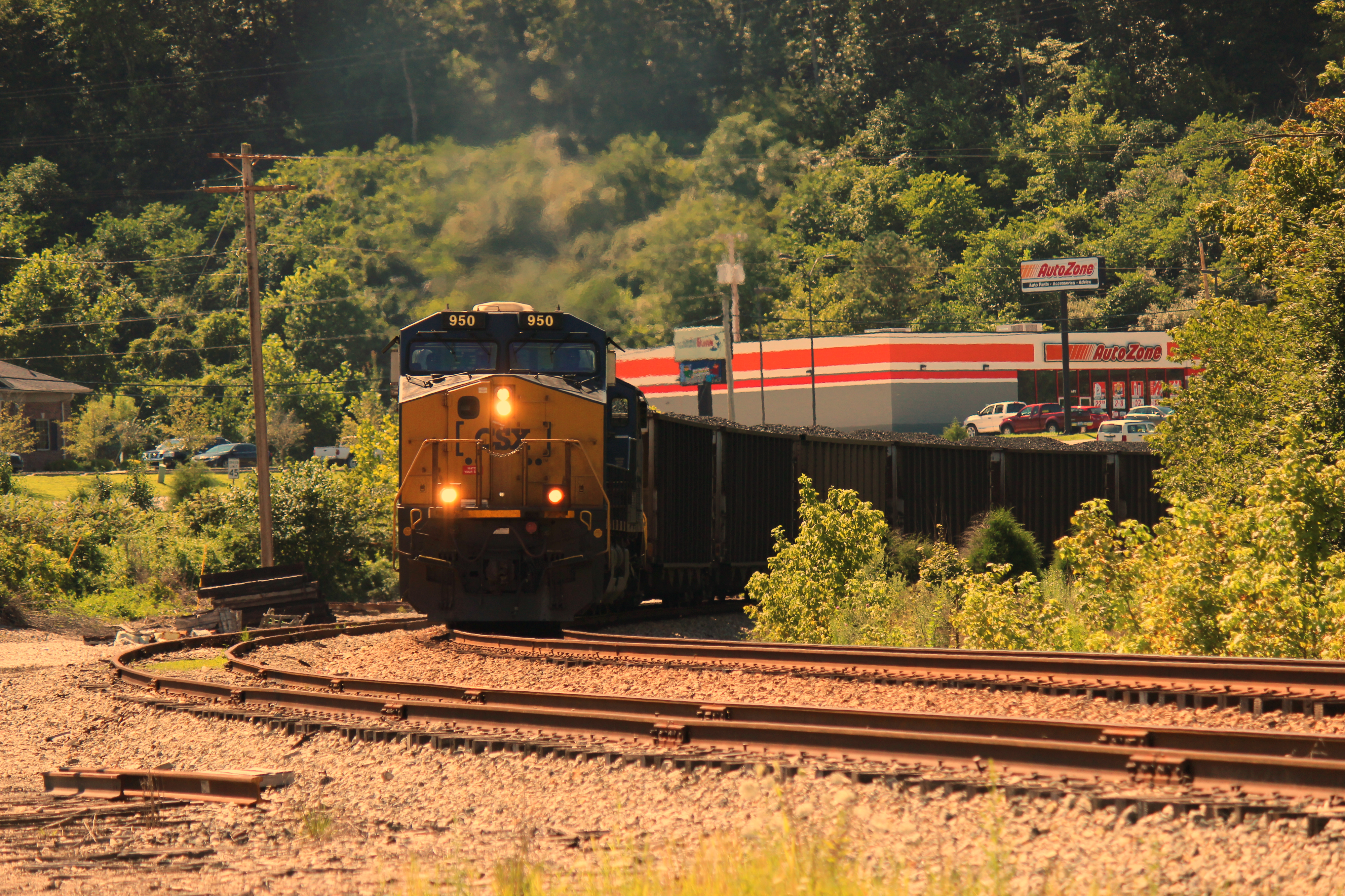
CSX U336 @ RB Cabin
N302-25
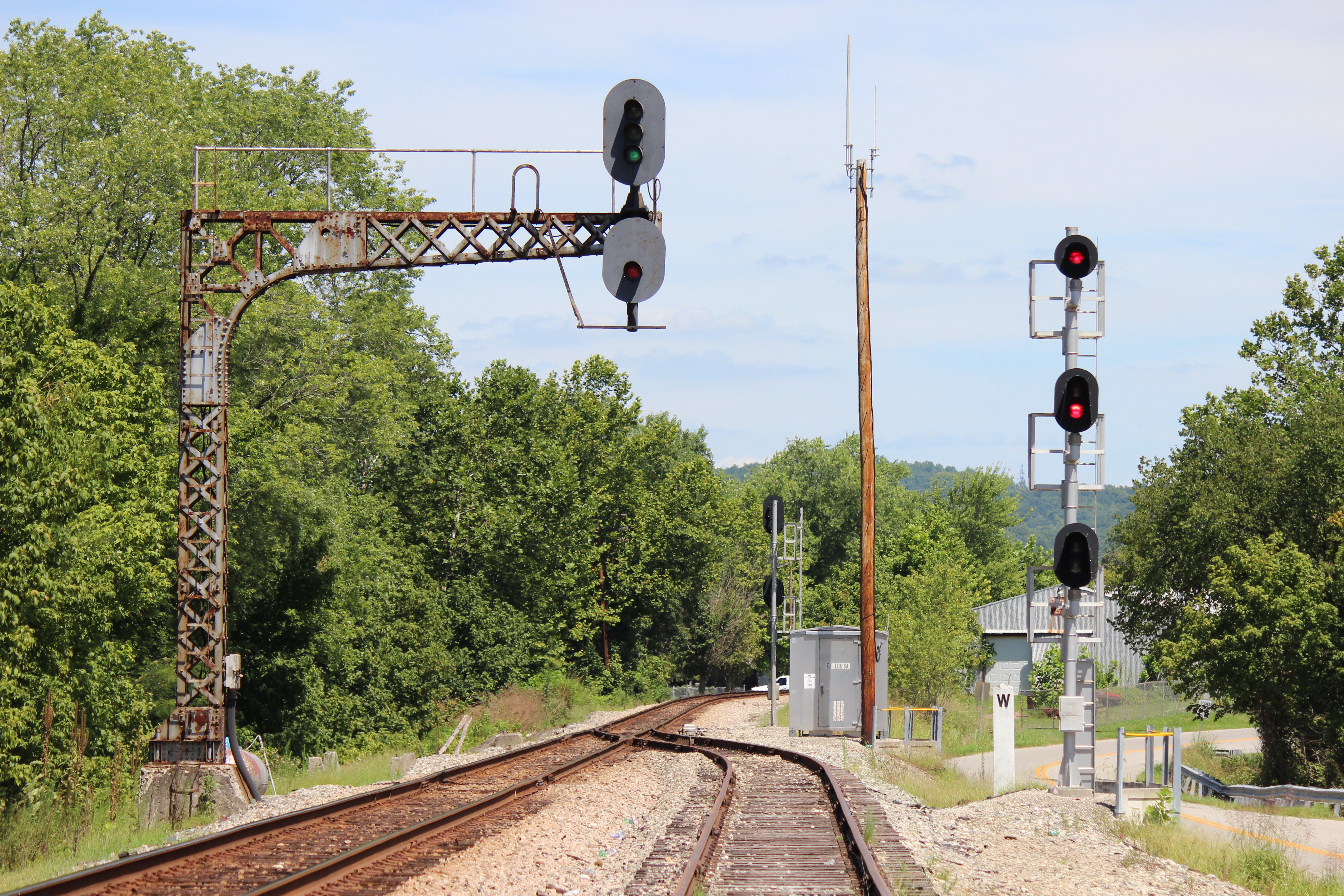
C&O signal at Louisa, KY
Sunoco Porcelain Station - Louisa KY - 100_1873.JPG

C&O Cantilever Signal Bridge - Louisa KY - 100_1879.JPG

C&O Cantilever Signal Bridge - Louisa KY - 100_1878.JPG
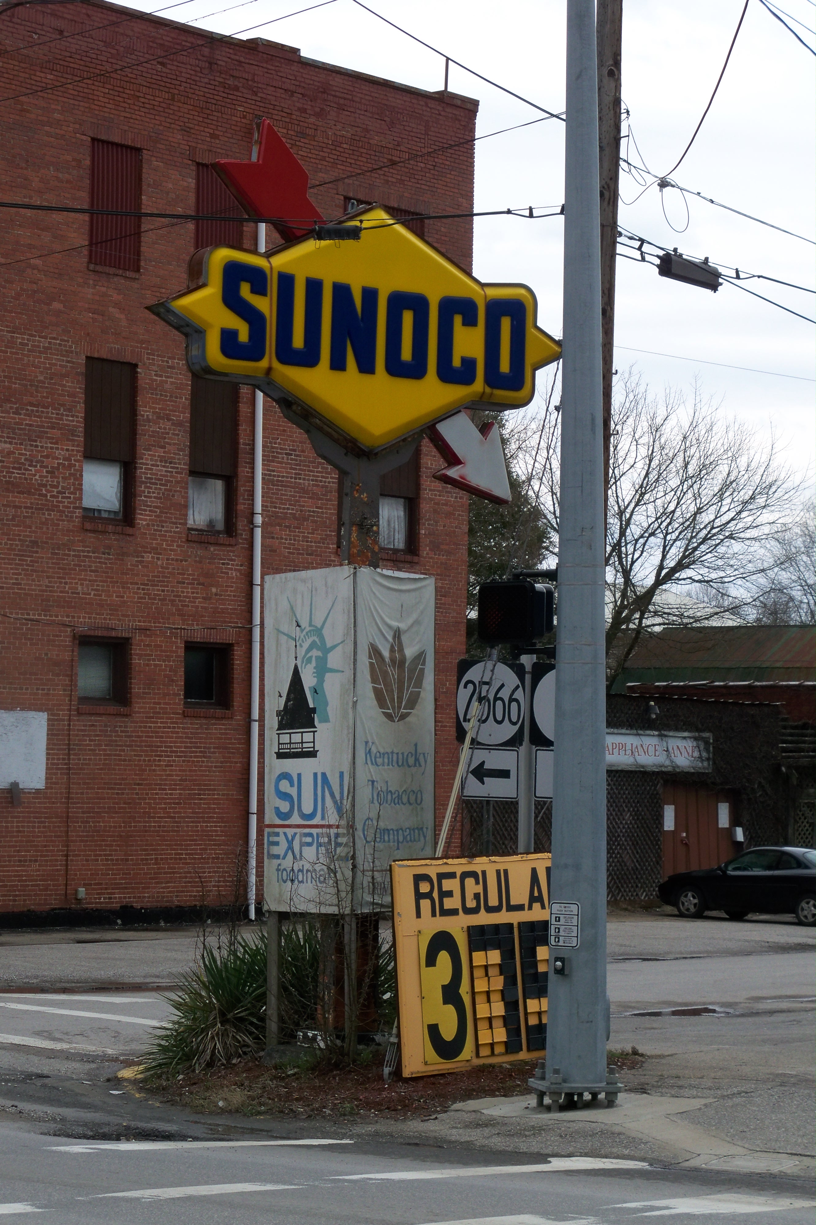
Sunoco Arrow Sign - Louisa KY - 100_1877.JPG

Dee's Drive Inn Restaurant - Louisa KY - 100_1875.JPG
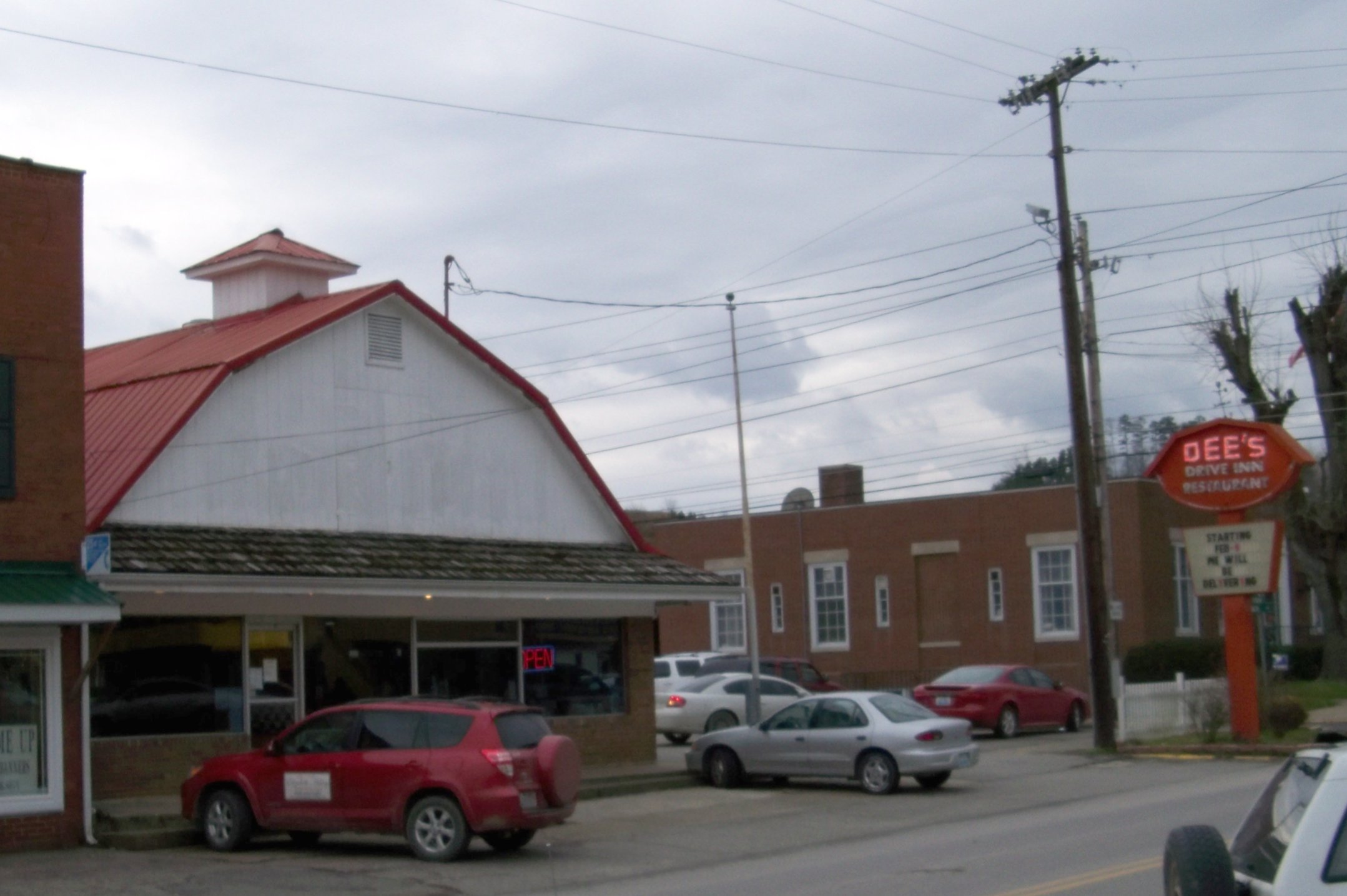
Dee's Restaurant - Louisa KY
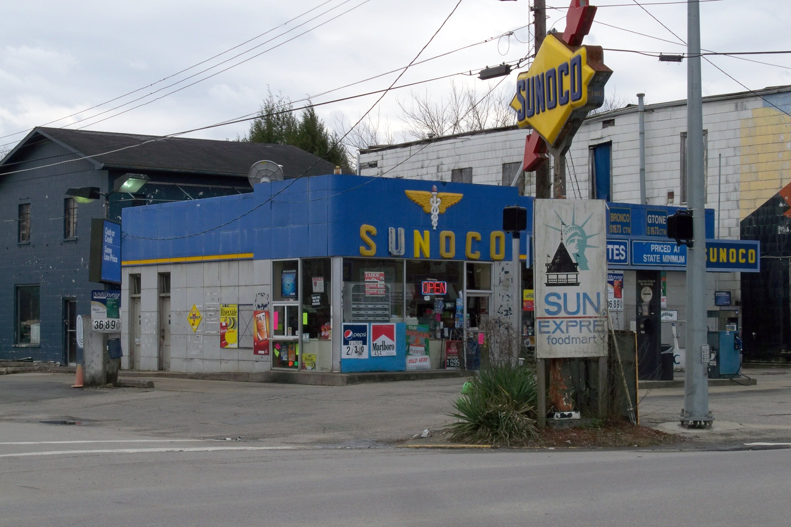
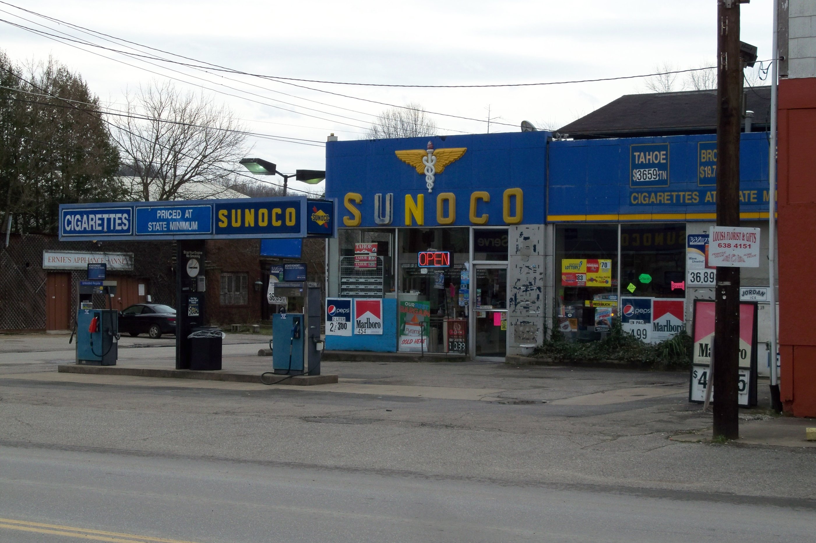
Sunoco Station - Louisa KY - 100_1872.JPG

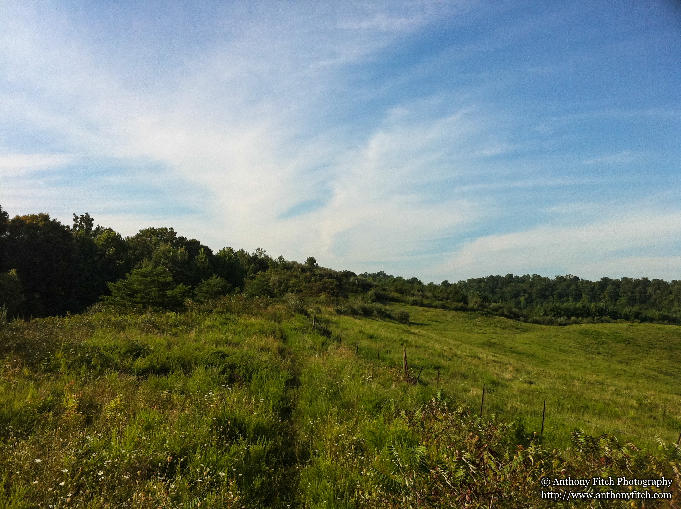
still morning on the lake

preparing for take off

Louisa's Lady Liberty
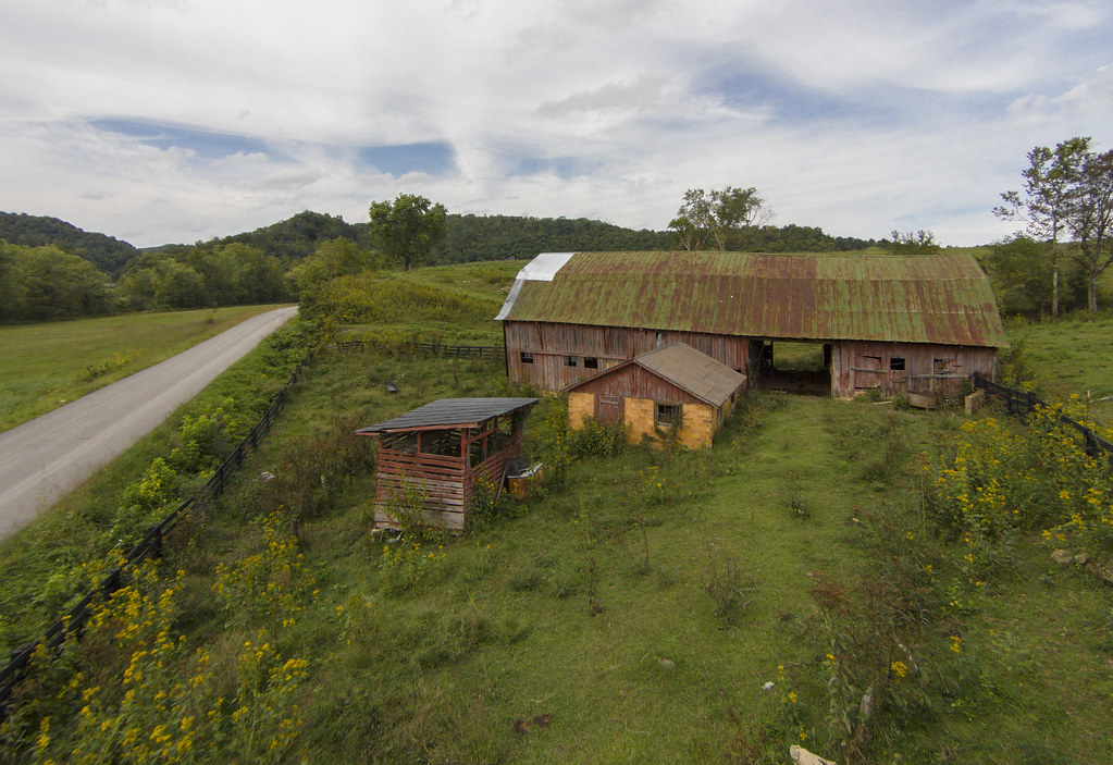
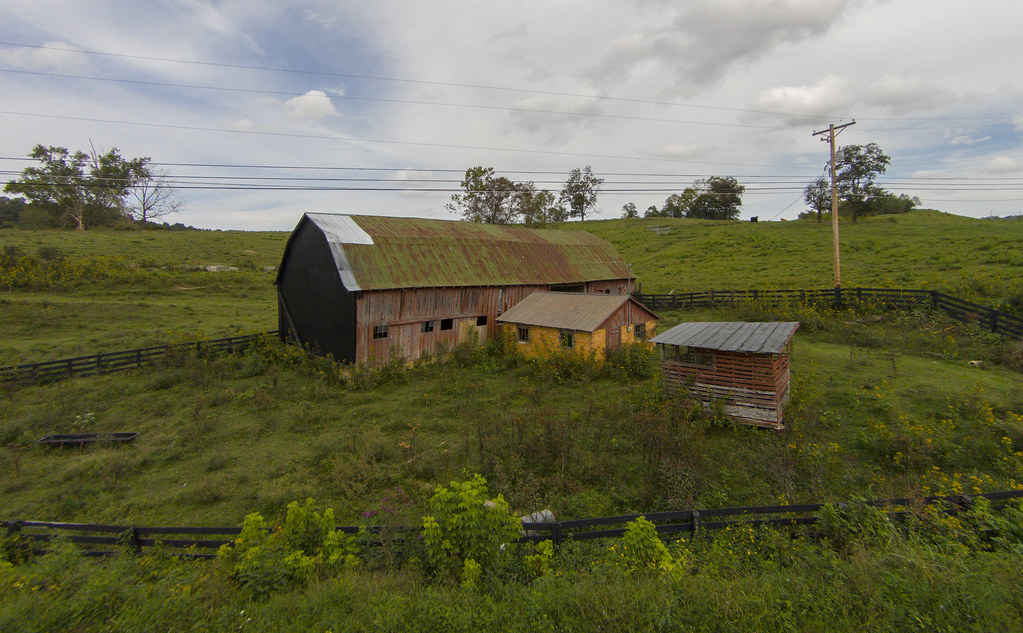
The Old Red Barn on The Hill

A plane passes below us over Fort Gay, West Virginia

IMG_0150.jpg
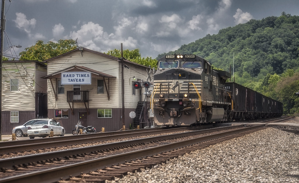
Hard Times Tavern - Ft. Gay, WV

A school in Fort Gay
Topographic Map of KY-32, Adams, KY, USA
Find elevation by address:

Places near KY-32, Adams, KY, USA:
149 Top Of World Dr
Lawrence County
Adams
Yatesville Lake Cabin Rental
Kentucky 828 & Shady Grove Road
Noris Fork Rd, Louisa, KY, USA
Noris Fork Road
Hogston Cemetery Road
Yatesville Lake State Park
KY-32, Louisa, KY, USA
Busseyville
KY-, Webbville, KY, USA
Blaine
KY-, Blaine, KY, USA
KY-, Webbville, KY, USA
316 Timberlake Dr
KY-, Flatgap, KY, USA
1004 Tark Hill Rd
Five Forks Road
Tadpole Rd, Louisa, KY, USA
Recent Searches:
- Elevation of Corso Fratelli Cairoli, 35, Macerata MC, Italy
- Elevation of Tallevast Rd, Sarasota, FL, USA
- Elevation of 4th St E, Sonoma, CA, USA
- Elevation of Black Hollow Rd, Pennsdale, PA, USA
- Elevation of Oakland Ave, Williamsport, PA, USA
- Elevation of Pedrógão Grande, Portugal
- Elevation of Klee Dr, Martinsburg, WV, USA
- Elevation of Via Roma, Pieranica CR, Italy
- Elevation of Tavkvetili Mountain, Georgia
- Elevation of Hartfords Bluff Cir, Mt Pleasant, SC, USA