Elevation of Williams Creek, Rush, KY, USA
Location: United States > Kentucky > Carter County >
Longitude: -82.820444
Latitude: 38.3148083
Elevation: 207m / 679feet
Barometric Pressure: 99KPa
Elevation Map:
Satellite Map:
Related Photos:

DSC00200

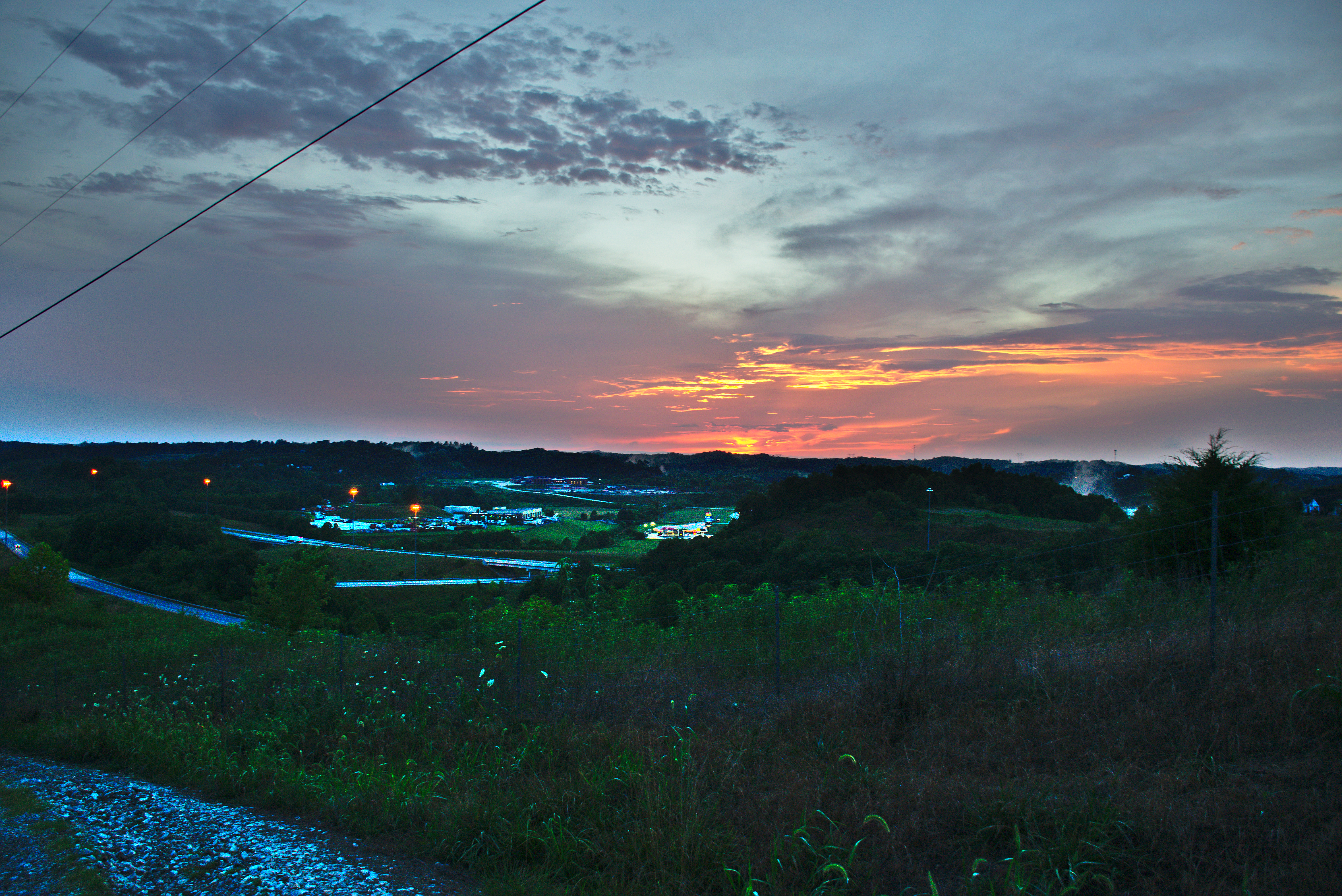
This evenings soccer venue

portrait of my father
Shippin' Up To Boston

20200722-2013-0152

20200722-2013-0151

20200722-2002-0150

20200722-2000-0145

20200722-1959-0143

20200722-1959-0142

20200722-1958-0140

20200722-1957-0139

20200722-1955-0138
20200722-1952-0136

20200722-1946-0135

20200722-1945-0130

20200722-1944-0128

20200722-1940-0126

20200722-1933-0124

20200722-1931-0121

20200722-1930-0120

20200722-1925-0119

BLACK toilets in a McDonald's in Ashland KY
Topographic Map of Williams Creek, Rush, KY, USA
Find elevation by address:

Places near Williams Creek, Rush, KY, USA:
134 Homestead Dr
149 S Commerce Dr
234-298
Hitchens Rd, Grayson, KY, USA
KY-, Grayson, KY, USA
Hitchens Rd, Grayson, KY, USA
133 Reatta St
0 Jensen Dr
Jensen Drive
Grayson
Brush Creek Rd, Argillite, KY, USA
KY-3, Catlettsburg, KY, USA
408 Indian Hills Rd
Webbville
Boyd County
3310 Culp Creek Rd
Heritage Heights Rd, Ashland, KY, USA
Argillite
Hogston Cemetery Road
5000 Ky-1
Recent Searches:
- Elevation of Crocker Dr, Vacaville, CA, USA
- Elevation of Pu Ngaol Community Meeting Hall, HWHM+3X7, Krong Saen Monourom, Cambodia
- Elevation of Royal Ontario Museum, Queens Park, Toronto, ON M5S 2C6, Canada
- Elevation of Groblershoop, South Africa
- Elevation of Power Generation Enterprises | Industrial Diesel Generators, Oak Ave, Canyon Country, CA, USA
- Elevation of Chesaw Rd, Oroville, WA, USA
- Elevation of N, Mt Pleasant, UT, USA
- Elevation of 6 Rue Jules Ferry, Beausoleil, France
- Elevation of Sattva Horizon, 4JC6+G9P, Vinayak Nagar, Kattigenahalli, Bengaluru, Karnataka, India
- Elevation of Great Brook Sports, Gold Star Hwy, Groton, CT, USA