Elevation of 8, VA, USA
Location: United States > Virginia > Halifax County >
Longitude: -78.903362
Latitude: 36.7107558
Elevation: 139m / 456feet
Barometric Pressure: 100KPa
Elevation Map:
Satellite Map:
Related Photos:
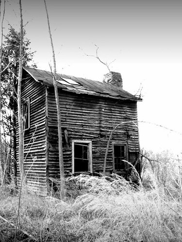
sharecropper house or how to meet the neighbors

South Boston, Virginia

my front yard (someday soon)

The Love Suicides at Mayors Income, Tennessee

Derelict Barns

Equipment, South Boston, Va
A good view of the room

Rear View

when the fields came alive in color

SOUTH BOSTON SPEEDWAY

Bob Cage's field of sculptures ...

Tree reflection

Straw Field

E. L. Evans House 2

spring in virginia

Virginia Cattle

Access Treenied

Virginia Cattle

big trouble
Ice. #InsideJoke
Topographic Map of 8, VA, USA
Find elevation by address:

Places near 8, VA, USA:
1312 Peach Ave
South Boston
E Oak Hill Dr, Halifax, VA, USA
Halifax County
Halifax
2030 Bold Springs Rd
4, VA, USA
1220 Dudley Rd
1220 Dudley Rd
Bold Springs Rd, South Boston, VA, USA
Scottsburg
7, VA, USA
1047 Bessie Marion Trail
5, VA, USA
1225 High View Rd
L P Bailey Memorial Hwy, Halifax, VA, USA
2083 Virgilina Rd
2082 Virgilina Rd
Alton
6, VA, USA
Recent Searches:
- Elevation of 15th Ave SE, St. Petersburg, FL, USA
- Elevation of Beall Road, Beall Rd, Florida, USA
- Elevation of Leguwa, Nepal
- Elevation of County Rd, Enterprise, AL, USA
- Elevation of Kolchuginsky District, Vladimir Oblast, Russia
- Elevation of Shustino, Vladimir Oblast, Russia
- Elevation of Lampiasi St, Sarasota, FL, USA
- Elevation of Elwyn Dr, Roanoke Rapids, NC, USA
- Elevation of Congressional Dr, Stevensville, MD, USA
- Elevation of Bellview Rd, McLean, VA, USA