Elevation of Dudley Rd, Halifax, VA, USA
Location: United States > Virginia > Halifax County > >
Longitude: -78.927097
Latitude: 36.801216
Elevation: 118m / 387feet
Barometric Pressure: 100KPa
Elevation Map:
Satellite Map:
Related Photos:
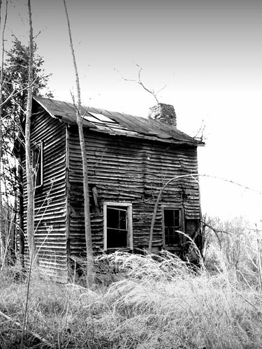
sharecropper house or how to meet the neighbors
my front yard (someday soon)

Rear View
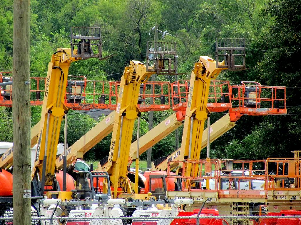
Equipment, South Boston, Va

The Love Suicides at Mayors Income, Tennessee
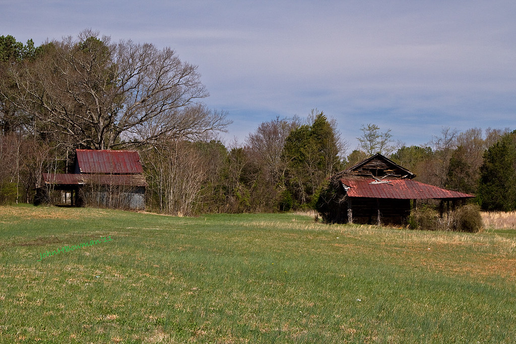
Derelict Barns
South Boston, Virginia

A good view of the room
SOUTH BOSTON SPEEDWAY

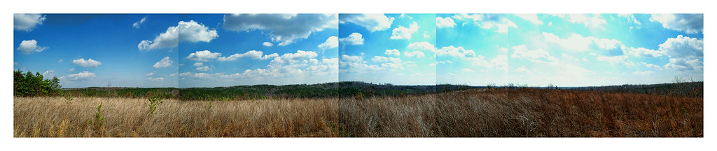
when the fields came alive in color
Bob Cage's field of sculptures ...

big trouble
The Fire and its Creator!
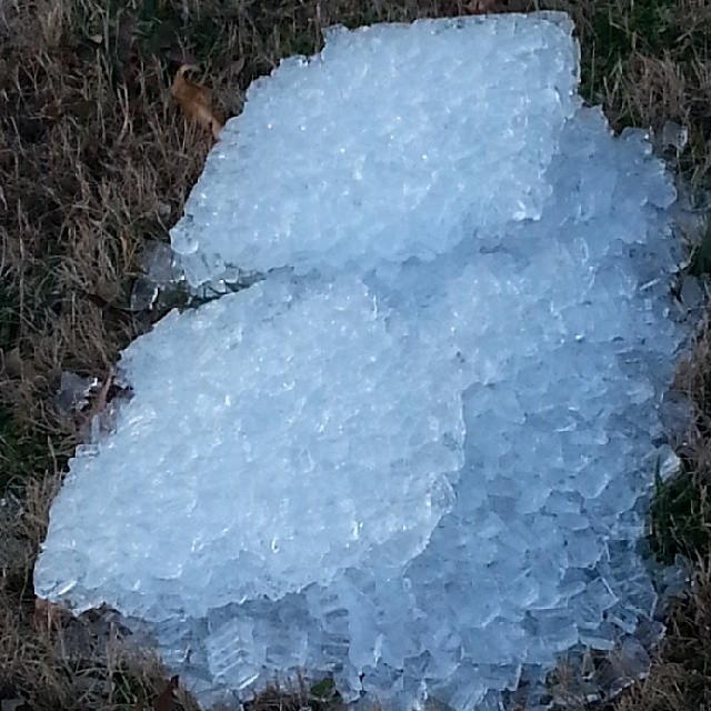
Ice. #InsideJoke
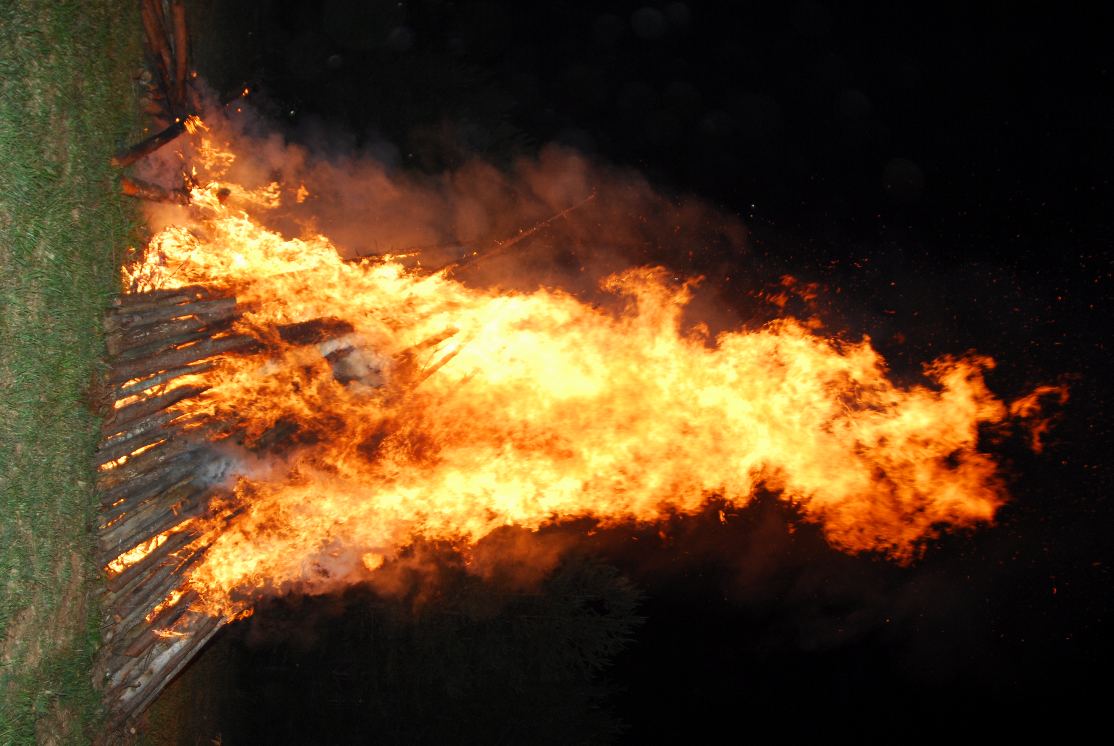
The Bon-Fire

spring in virginia
Topographic Map of Dudley Rd, Halifax, VA, USA
Find elevation by address:

Places near Dudley Rd, Halifax, VA, USA:
1220 Dudley Rd
Halifax
4, VA, USA
1047 Bessie Marion Trail
L P Bailey Memorial Hwy, Halifax, VA, USA
E Oak Hill Dr, Halifax, VA, USA
8, VA, USA
1312 Peach Ave
South Boston
Halifax County
1225 High View Rd
Table Rock Lane
3091 Volens Rd
2, VA, USA
Nathalie
Scottsburg
2030 Bold Springs Rd
1, VA, USA
3, VA, USA
5, VA, USA
Recent Searches:
- Elevation of Jalan Senandin, Lutong, Miri, Sarawak, Malaysia
- Elevation of Bilohirs'k
- Elevation of 30 Oak Lawn Dr, Barkhamsted, CT, USA
- Elevation of Luther Road, Luther Rd, Auburn, CA, USA
- Elevation of Unnamed Road, Respublika Severnaya Osetiya — Alaniya, Russia
- Elevation of Verkhny Fiagdon, North Ossetia–Alania Republic, Russia
- Elevation of F. Viola Hiway, San Rafael, Bulacan, Philippines
- Elevation of Herbage Dr, Gulfport, MS, USA
- Elevation of Lilac Cir, Haldimand, ON N3W 2G9, Canada
- Elevation of Harrod Branch Road, Harrod Branch Rd, Kentucky, USA