Elevation of Alton, VA, USA
Location: United States > Virginia > Halifax County > >
Longitude: -79.002789
Latitude: 36.5731952
Elevation: 168m / 551feet
Barometric Pressure: 99KPa
Elevation Map:
Satellite Map:
Related Photos:
Equipment, South Boston, Va

A good view of the room

Beautiful ending to our last day at the lake. #sunset

Sunset on the lake - 2

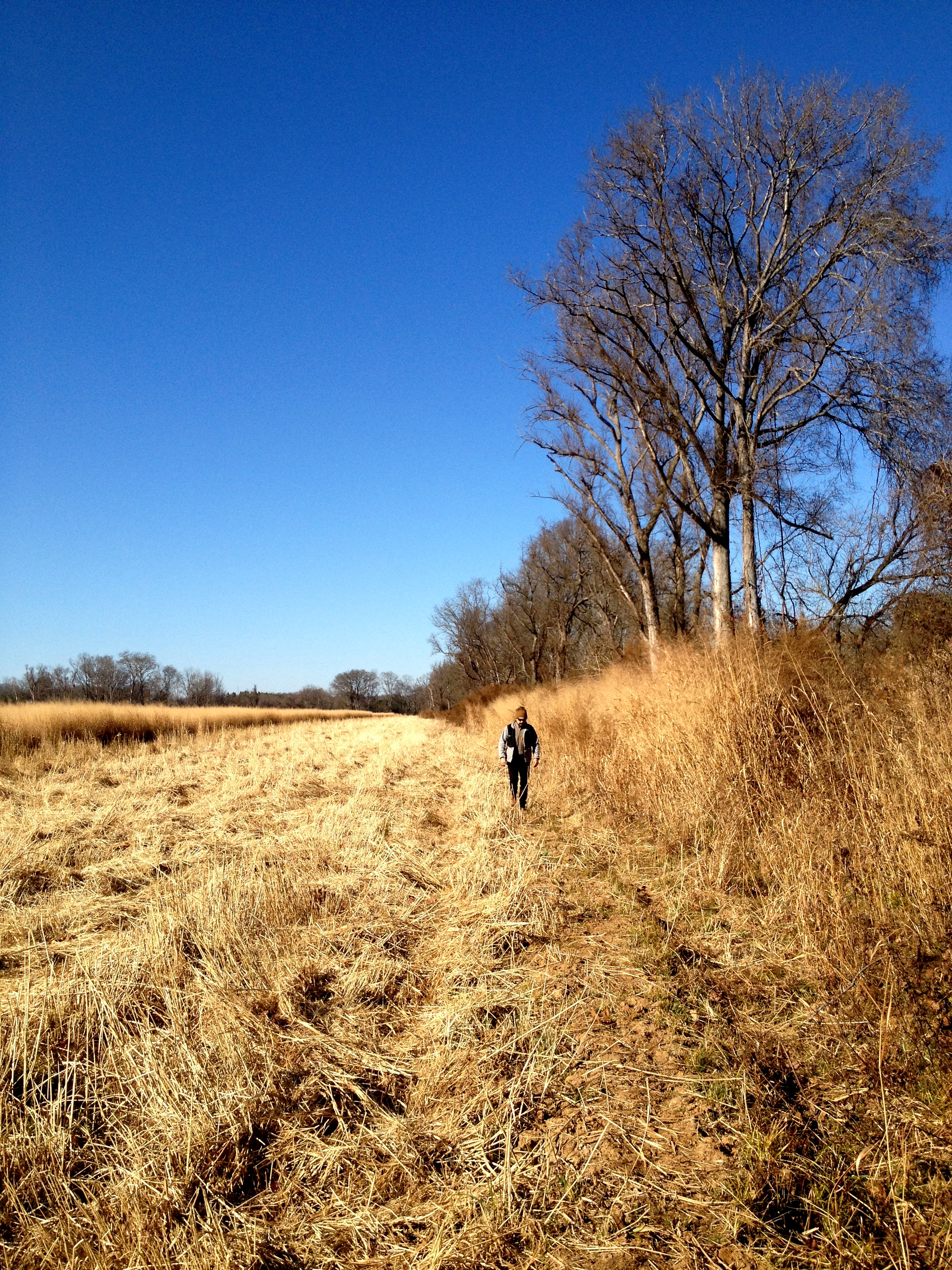
Straw Field

Sunset on the lake - 3
Early morning in camp

Sunset on the lake - 1
Early morning light slants through the trees

Hyco Lake Campground at sunset
Shafts of light in the trees
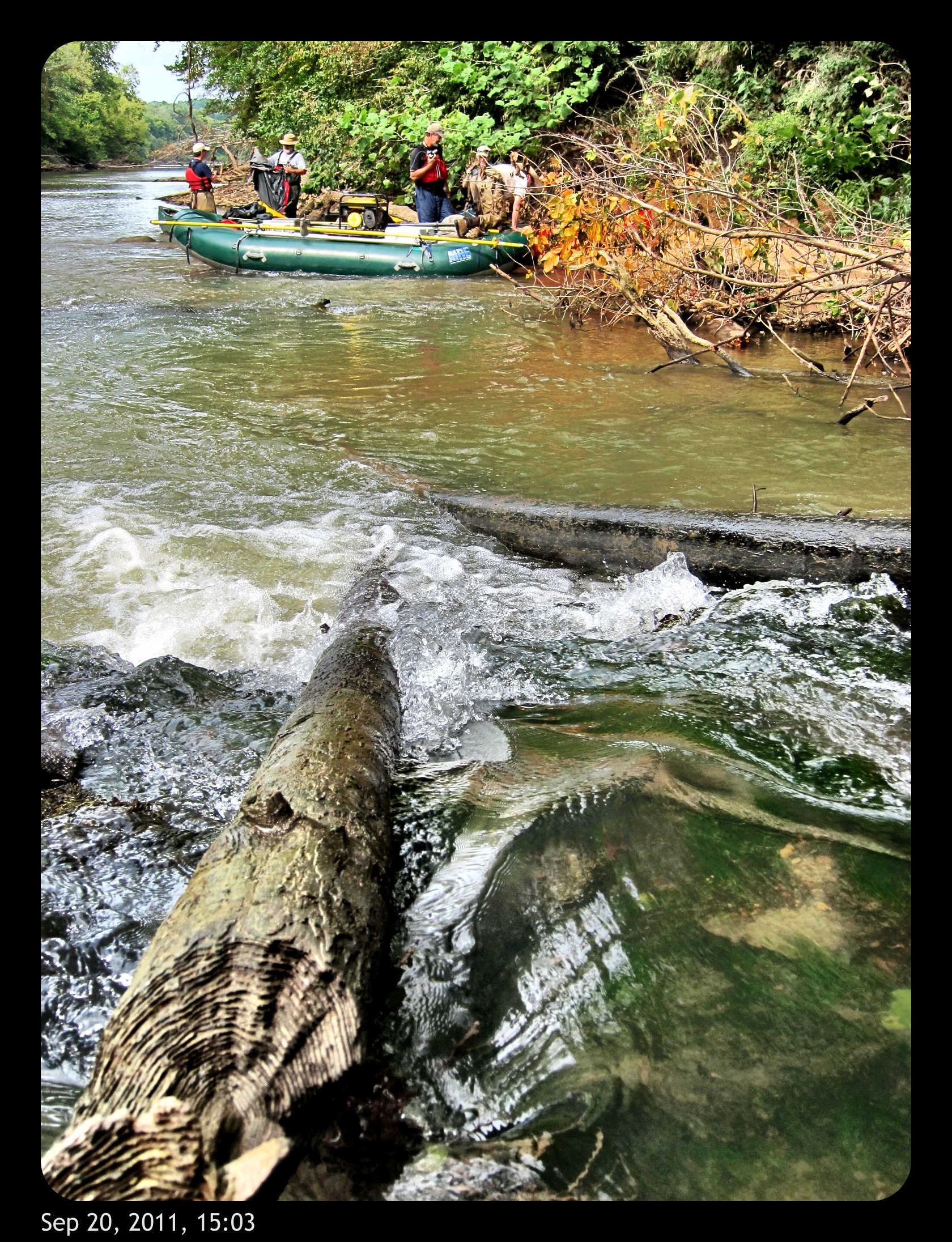
big trouble
Ice. #InsideJoke

Tree reflection

Mayo Plant landscape
Access Treenied
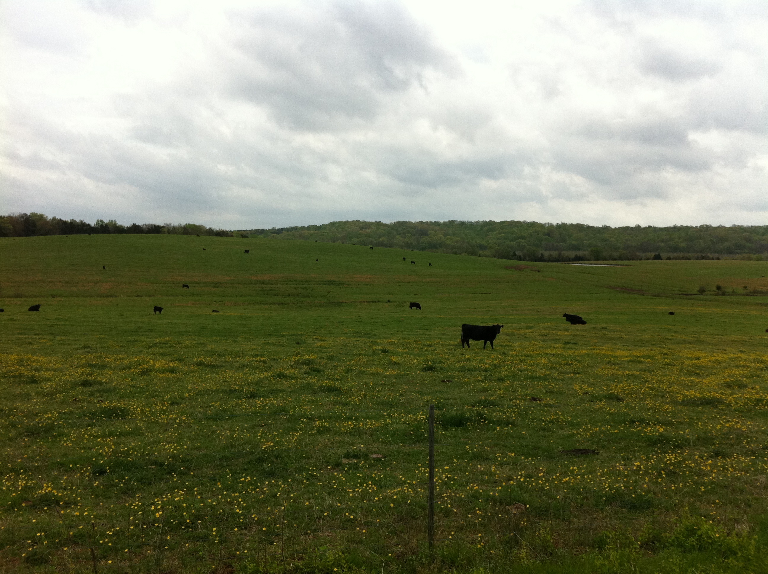
Virginia Cattle
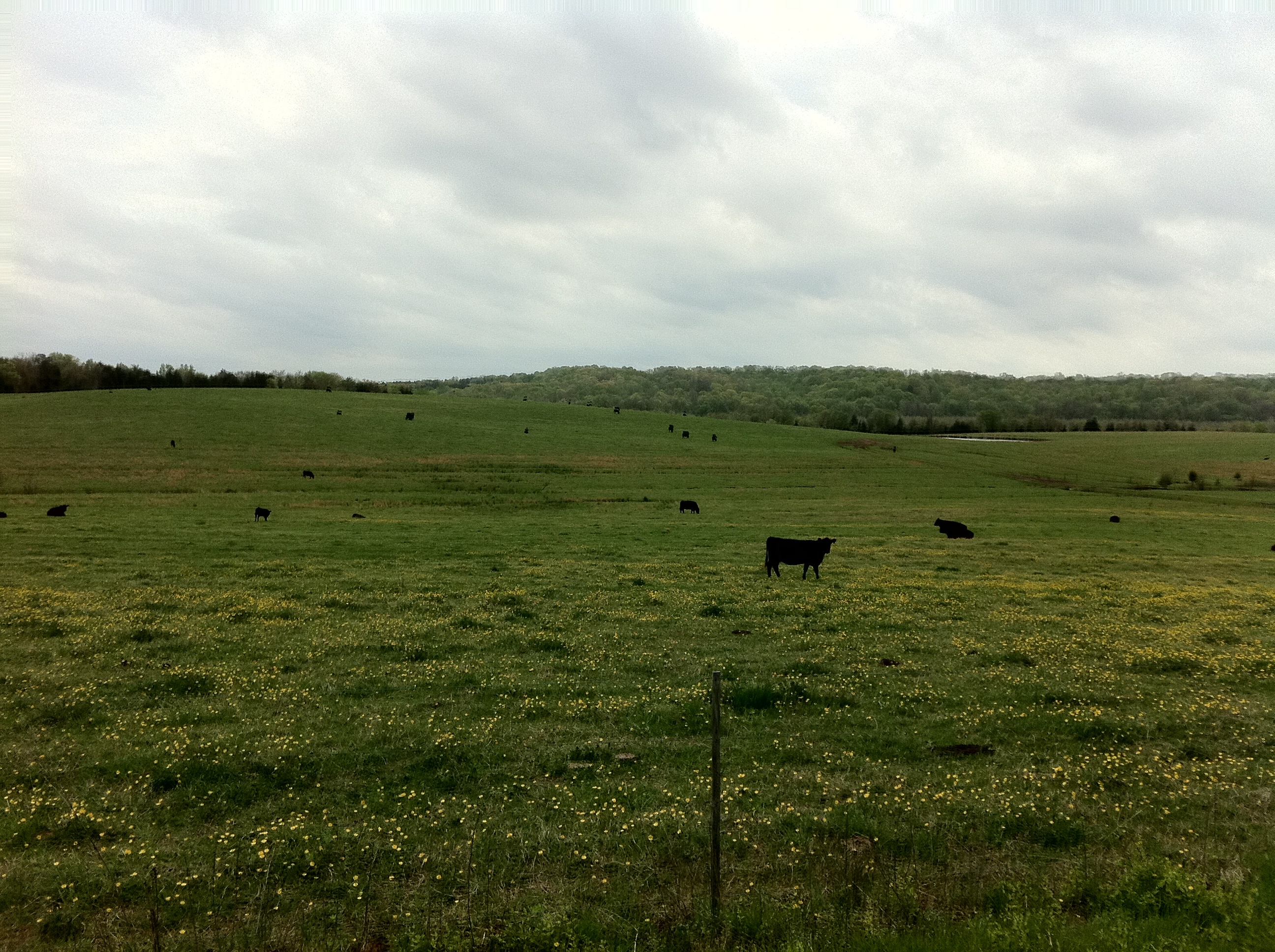
Virginia Cattle
Topographic Map of Alton, VA, USA
Find elevation by address:

Places near Alton, VA, USA:
6, VA, USA
Bold Springs Rd, South Boston, VA, USA
2030 Bold Springs Rd
2083 Virgilina Rd
2082 Virgilina Rd
Halifax County
South Boston
1185 Deer Ridge Trail
8, VA, USA
1312 Peach Ave
1225 High View Rd
E Oak Hill Dr, Halifax, VA, USA
7, VA, USA
2076 Jeremy Creek Rd
Sutherlin
4, VA, USA
Halifax
Vernon Hill
3, VA, USA
Thompson Store Rd, Ingram, VA, USA
Recent Searches:
- Elevation of Estates Loop, Priest River, ID, USA
- Elevation of Woodland Oak Pl, Thousand Oaks, CA, USA
- Elevation of Brownsdale Rd, Renfrew, PA, USA
- Elevation of Corcoran Ln, Suffolk, VA, USA
- Elevation of Mamala II, Sariaya, Quezon, Philippines
- Elevation of Sarangdanda, Nepal
- Elevation of 7 Waterfall Way, Tomball, TX, USA
- Elevation of SW 57th Ave, Portland, OR, USA
- Elevation of Crocker Dr, Vacaville, CA, USA
- Elevation of Pu Ngaol Community Meeting Hall, HWHM+3X7, Krong Saen Monourom, Cambodia