Elevation of E Oak Hill Dr, Halifax, VA, USA
Location: United States > Virginia > Halifax County > >
Longitude: -78.904919
Latitude: 36.7382867
Elevation: 150m / 492feet
Barometric Pressure: 100KPa
Elevation Map:
Satellite Map:
Related Photos:
my front yard (someday soon)

The Love Suicides at Mayors Income, Tennessee
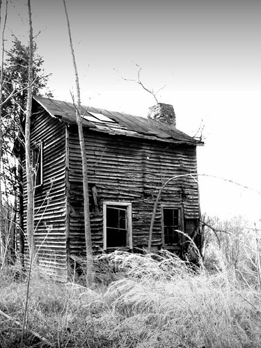
sharecropper house or how to meet the neighbors

Rear View
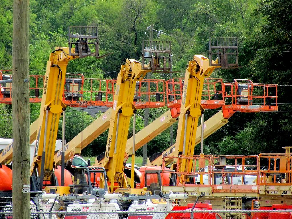
Equipment, South Boston, Va
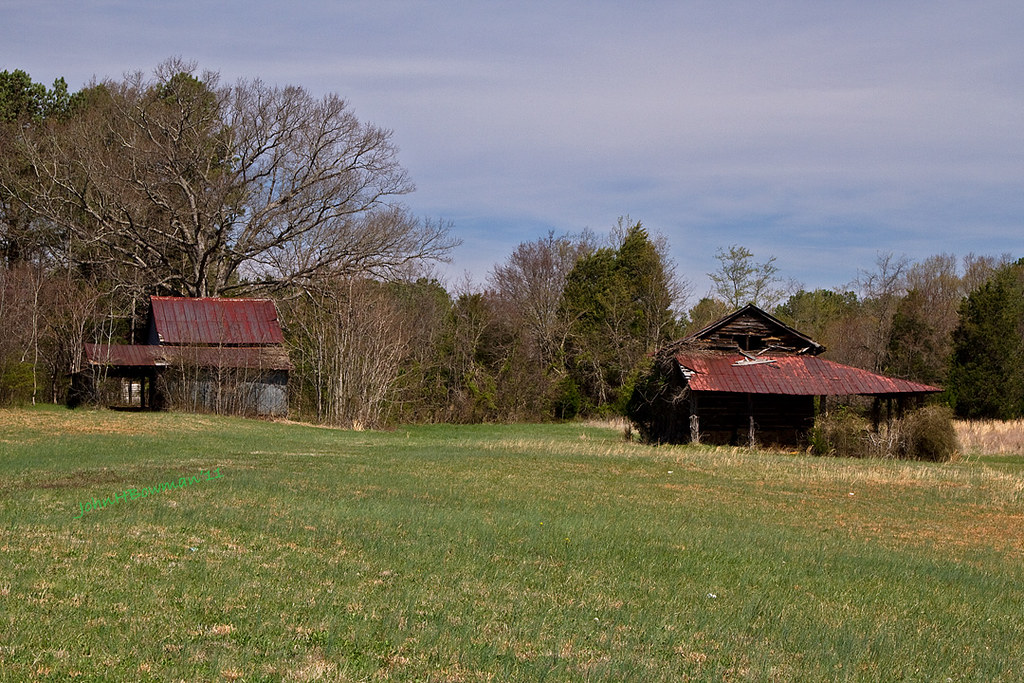
Derelict Barns

A good view of the room

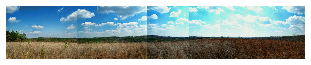
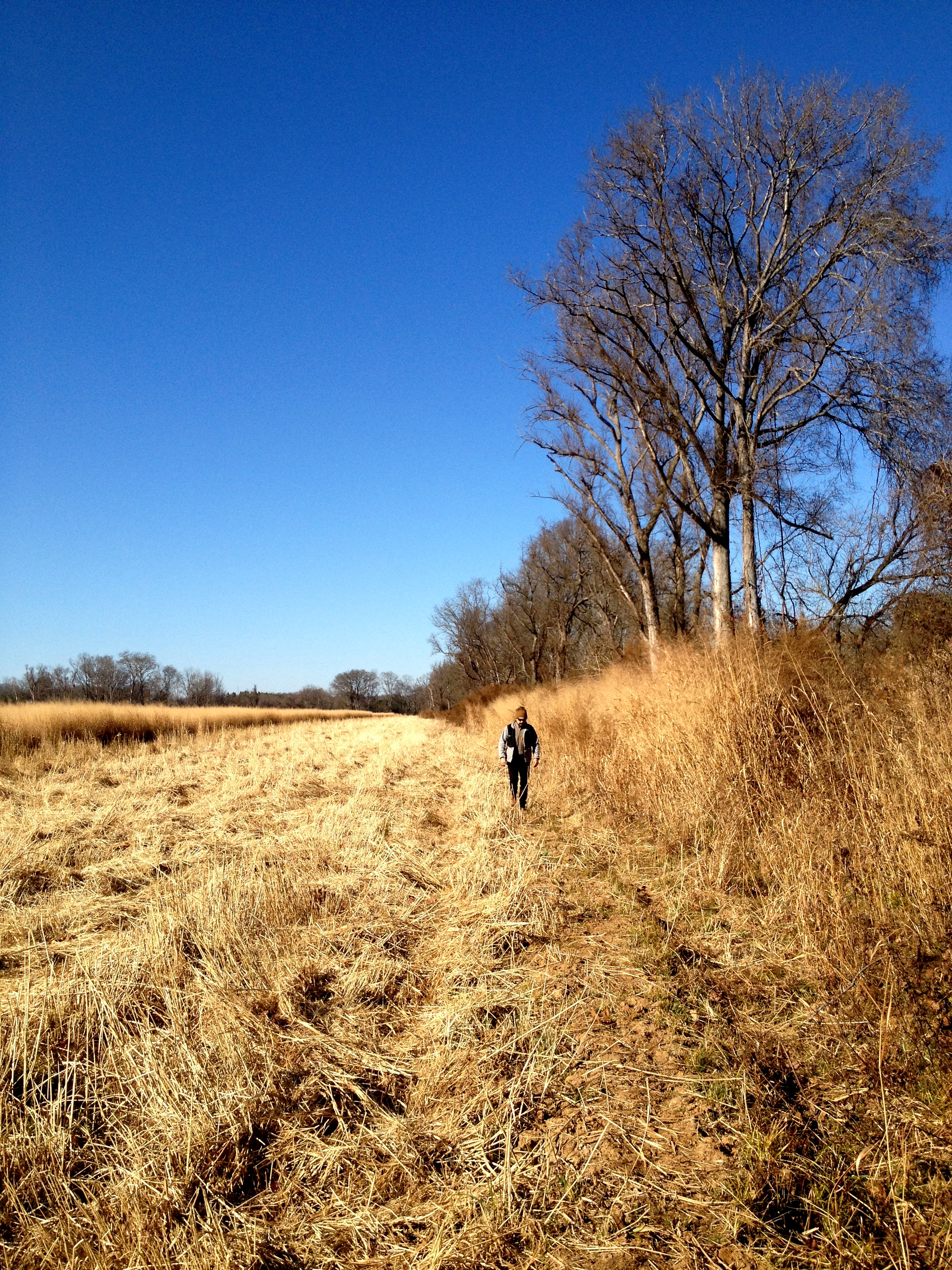
when the fields came alive in color
Bob Cage's field of sculptures ...
big trouble

The Fire and its Creator!
Ice. #InsideJoke
The Bon-Fire
Access Treenied
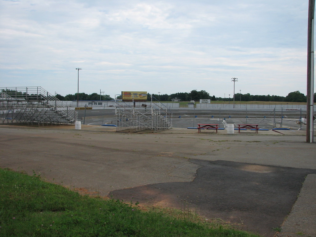
SOUTH BOSTON SPEEDWAY
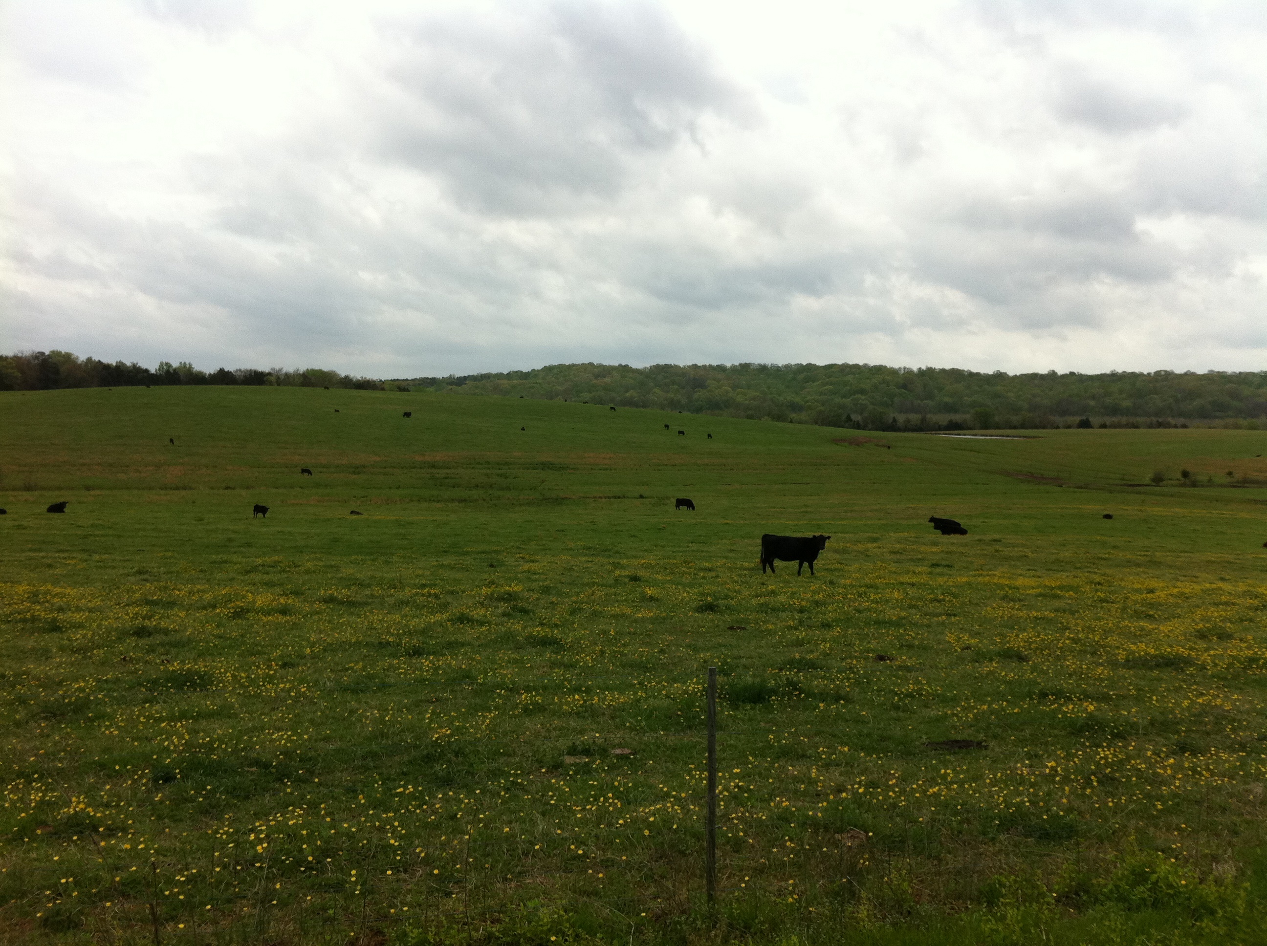
Virginia Cattle

spring in virginia
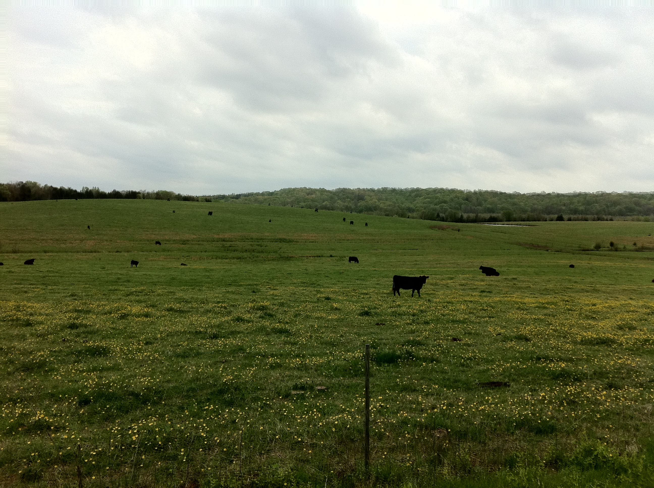
Virginia Cattle
Topographic Map of E Oak Hill Dr, Halifax, VA, USA
Find elevation by address:

Places near E Oak Hill Dr, Halifax, VA, USA:
8, VA, USA
1312 Peach Ave
Halifax
South Boston
Halifax County
1220 Dudley Rd
1220 Dudley Rd
4, VA, USA
2030 Bold Springs Rd
1047 Bessie Marion Trail
L P Bailey Memorial Hwy, Halifax, VA, USA
Scottsburg
Bold Springs Rd, South Boston, VA, USA
1225 High View Rd
5, VA, USA
7, VA, USA
2, VA, USA
2083 Virgilina Rd
2082 Virgilina Rd
3, VA, USA
Recent Searches:
- Elevation of Corso Fratelli Cairoli, 35, Macerata MC, Italy
- Elevation of Tallevast Rd, Sarasota, FL, USA
- Elevation of 4th St E, Sonoma, CA, USA
- Elevation of Black Hollow Rd, Pennsdale, PA, USA
- Elevation of Oakland Ave, Williamsport, PA, USA
- Elevation of Pedrógão Grande, Portugal
- Elevation of Klee Dr, Martinsburg, WV, USA
- Elevation of Via Roma, Pieranica CR, Italy
- Elevation of Tavkvetili Mountain, Georgia
- Elevation of Hartfords Bluff Cir, Mt Pleasant, SC, USA