Elevation of 7 Strader Lane, Buckhannon, WV, USA
Location: United States > West Virginia > Upshur County > Second >
Longitude: -80.145408
Latitude: 39.0552671
Elevation: 442m / 1450feet
Barometric Pressure: 96KPa
Elevation Map:
Satellite Map:
Related Photos:

Farm Pathway

Still a Diamond

Rusted and Forgotten

Old House
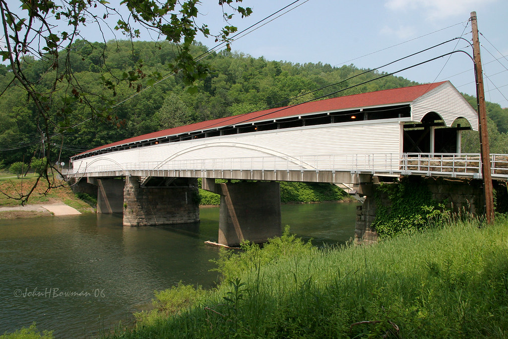
Philippi Covered Bridge - West Virginia

Old House - WA from Hilltop

Bidding Me Farewell

Red barn -- Upsher County, West Virginia (#2)

Red barn -- Upsher County, West Virginia (#1)

One Good Wind Came
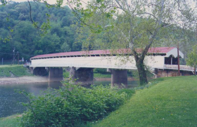
Philippi Covered Bridge

Audra State Park
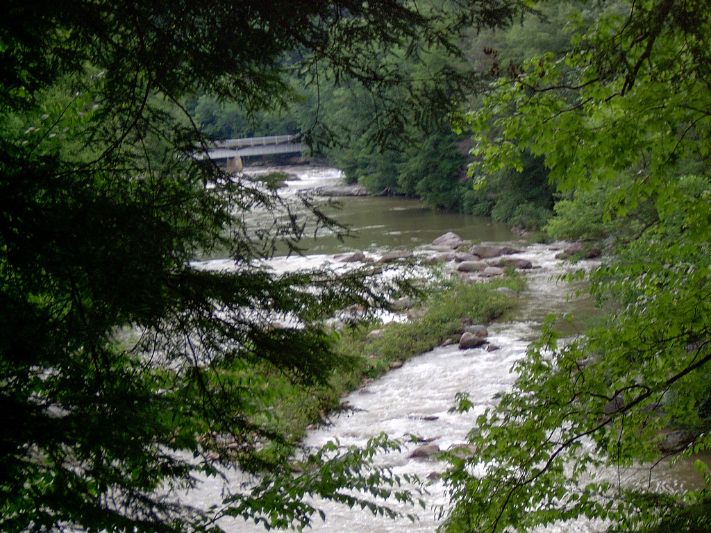
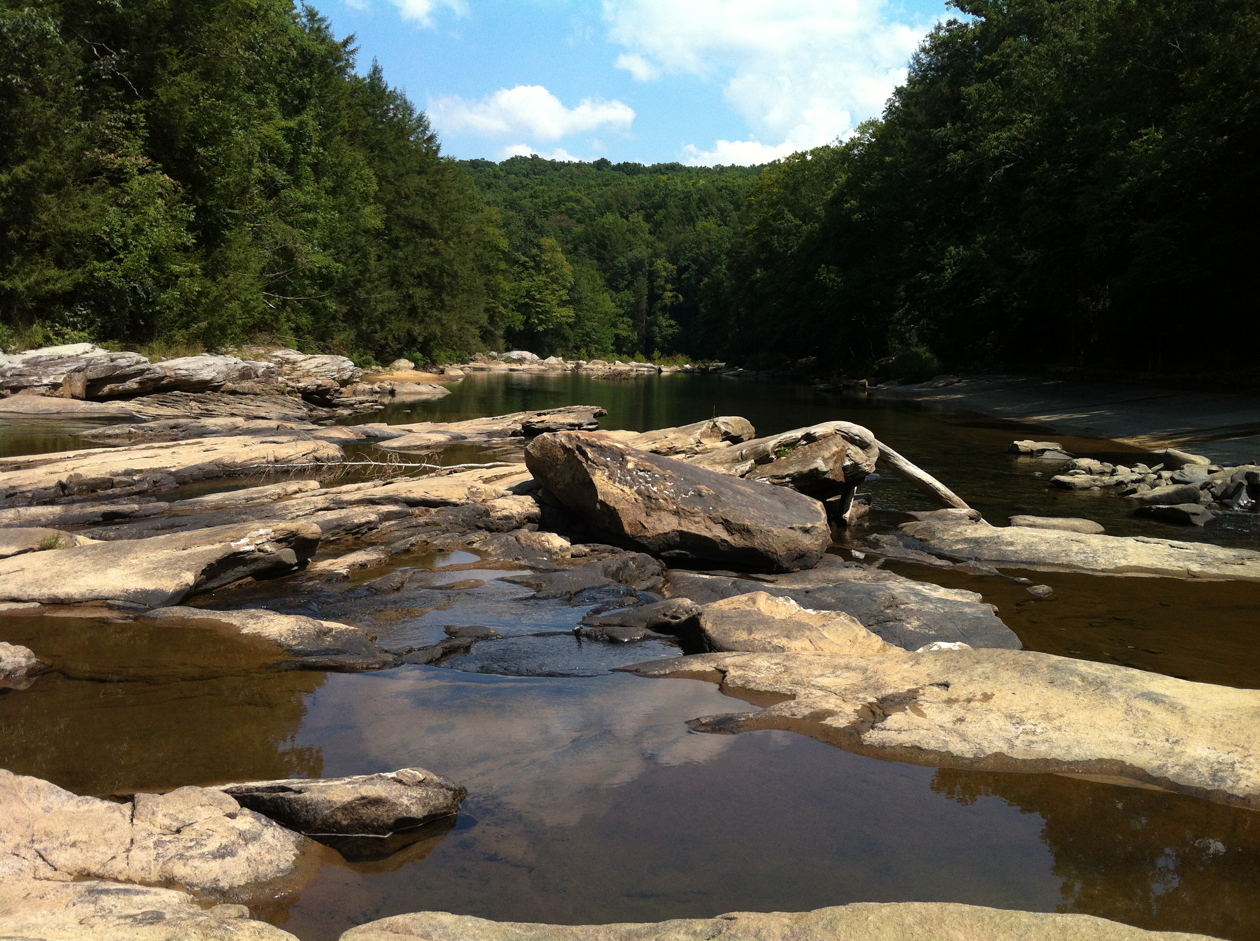
Middle Fork River Image 3 7-14-2004 Photo
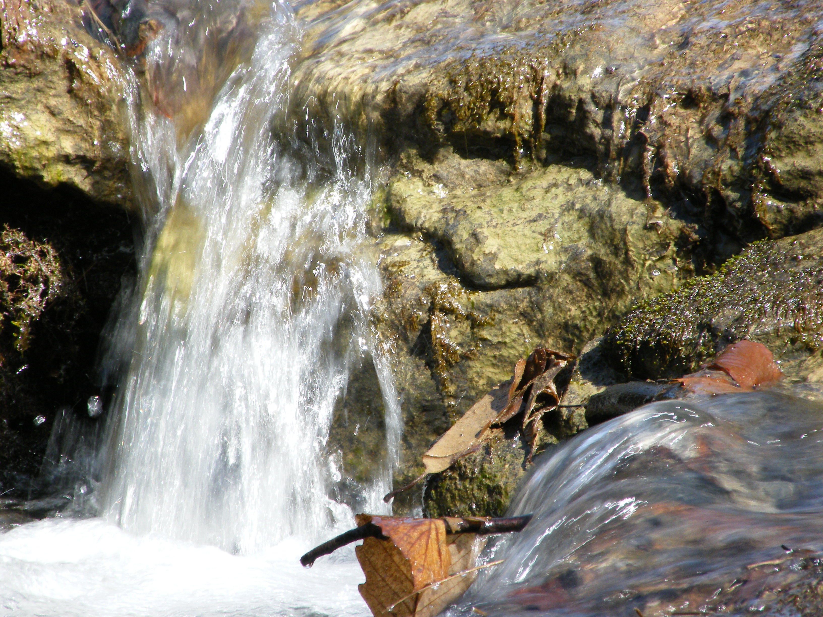
Falling Water 2
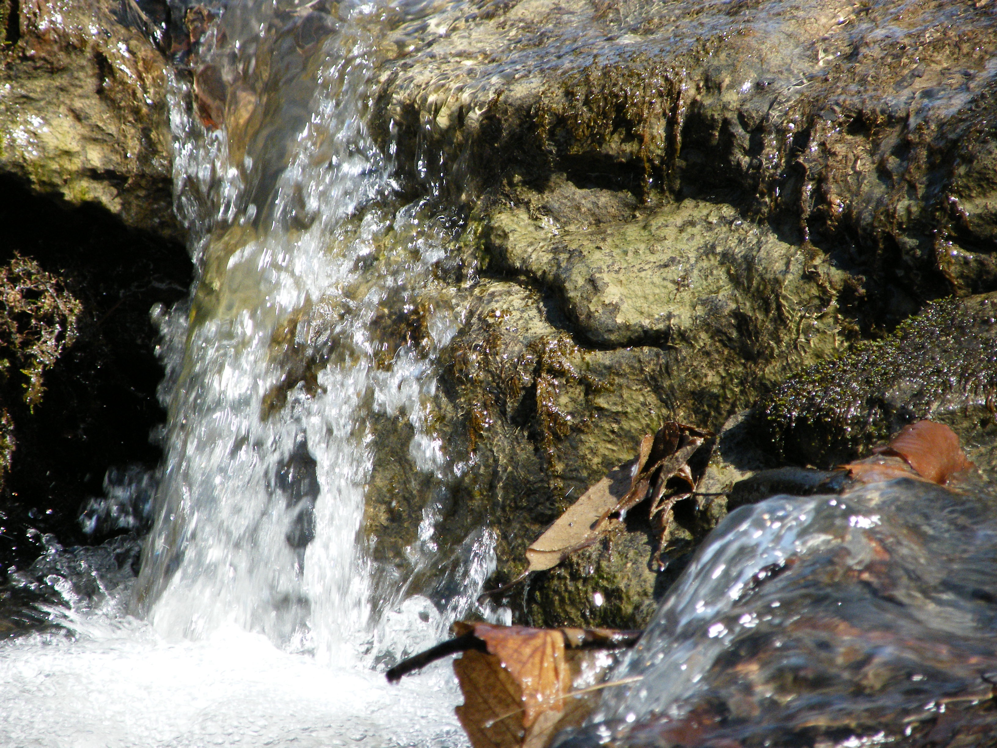
Falling Water 3

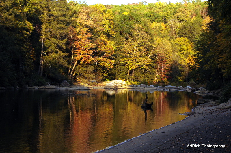
Greens of Autumn
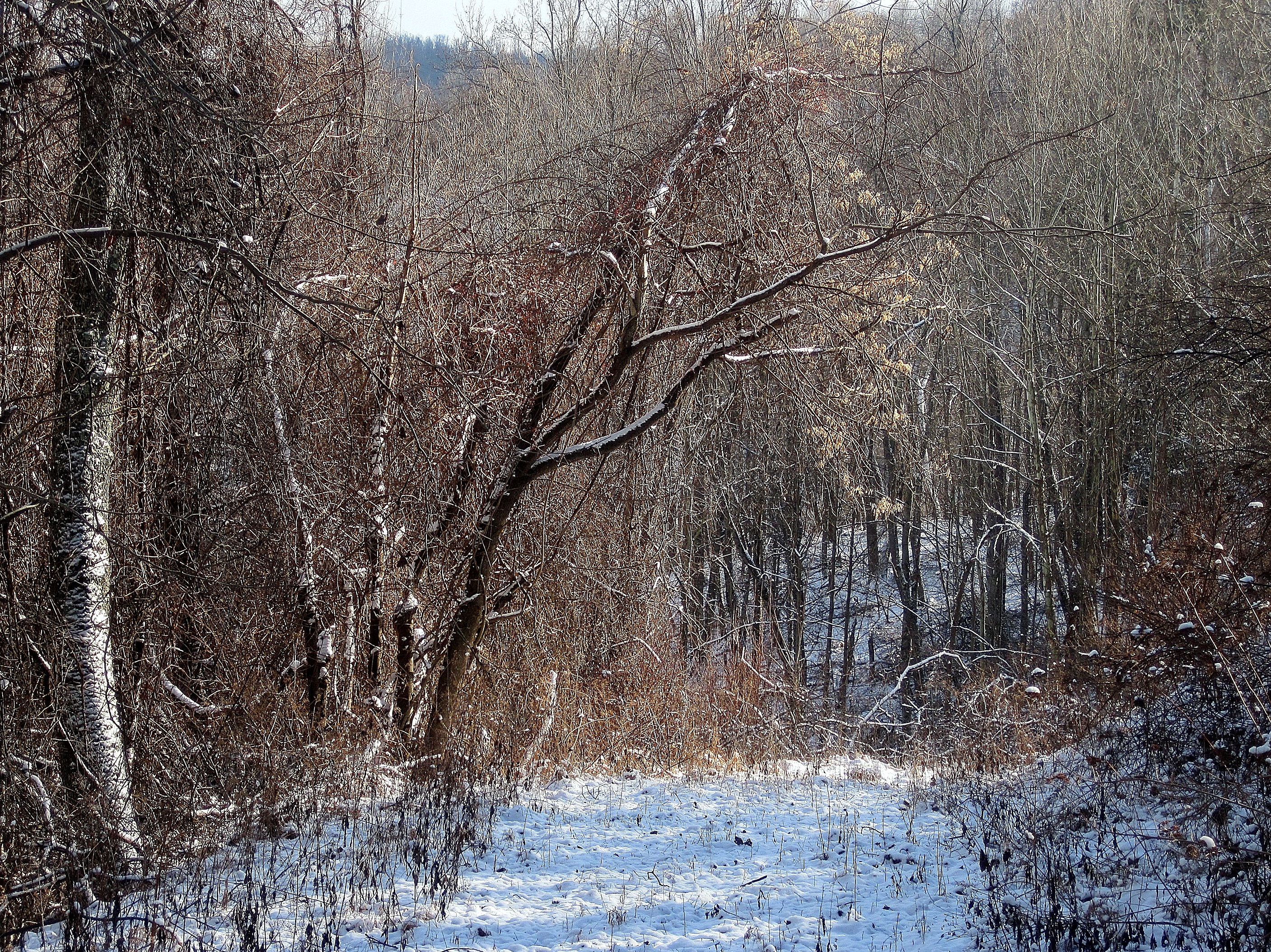
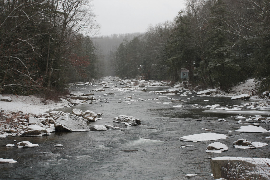
Melting Snow
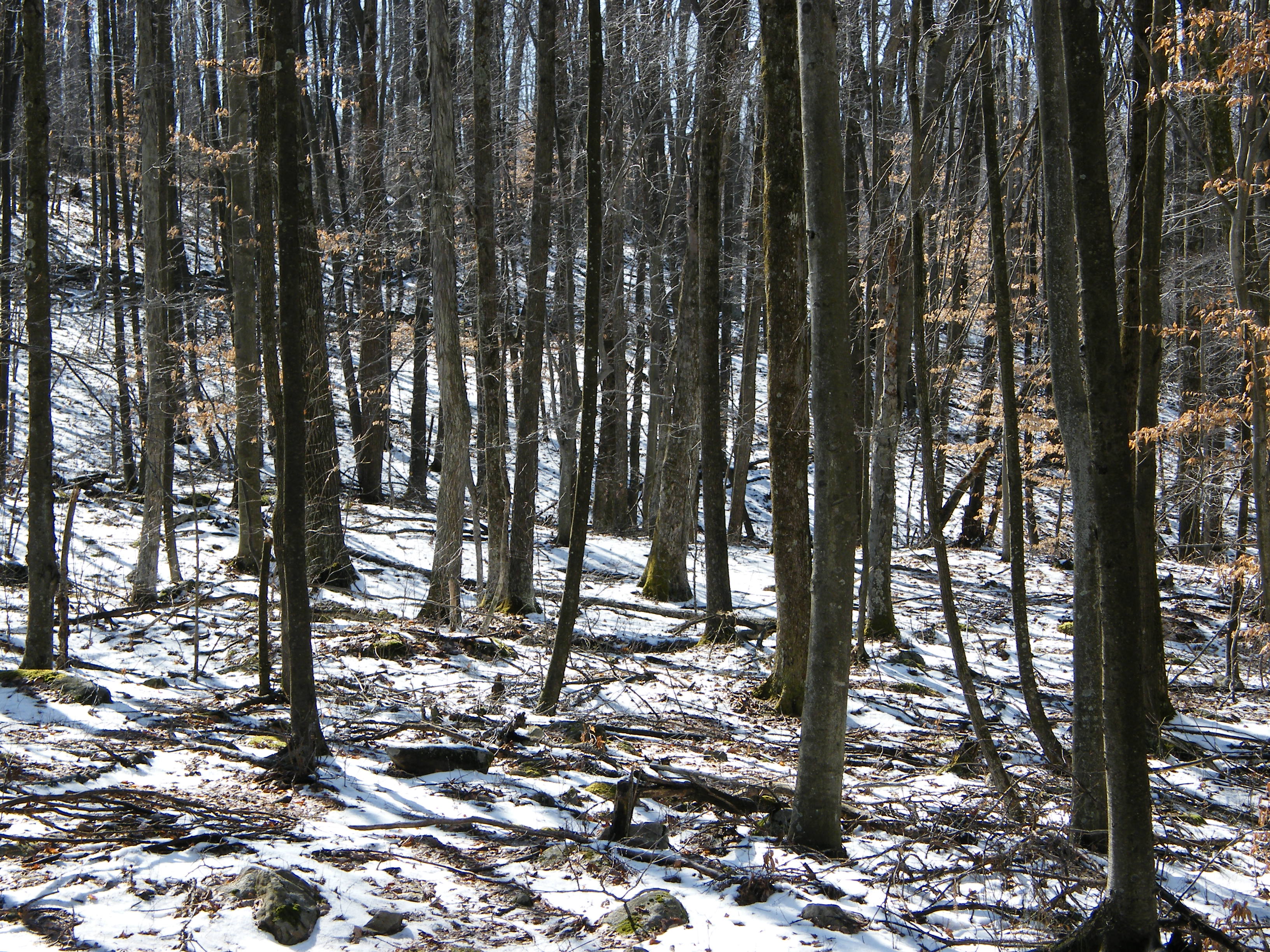
Woods behind my parents' house

Pine needles
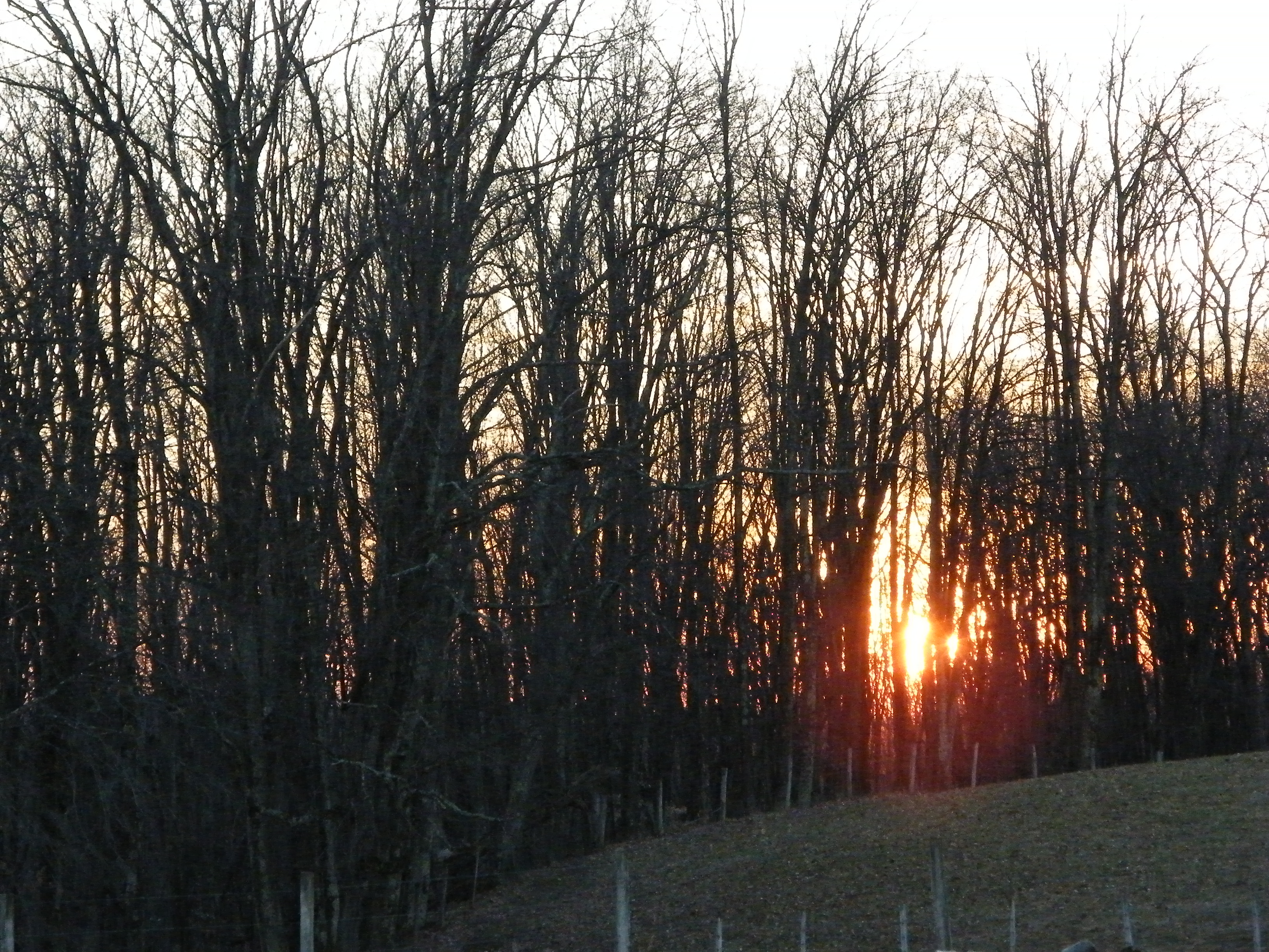
Sunset Through Trees
Audra State Park
Img1984 06-Dec-08

Bridge 972-20
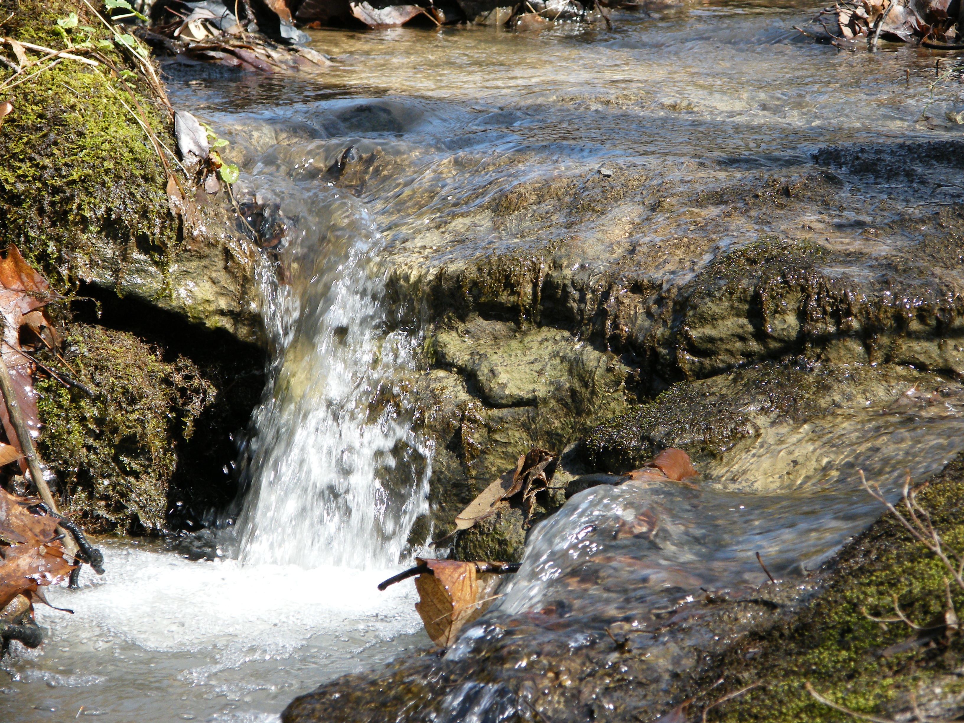
Falling Water 4
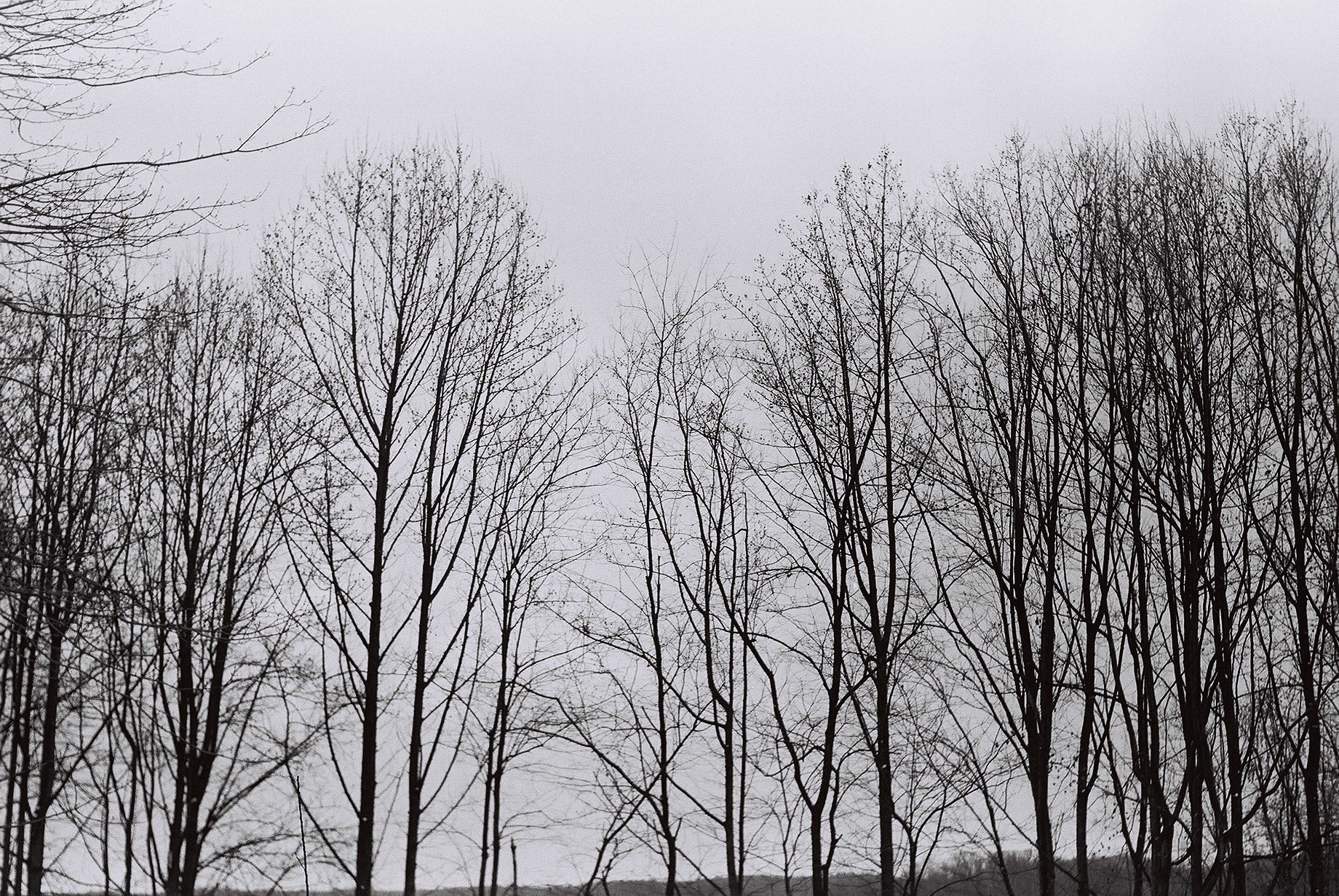
Tree branches
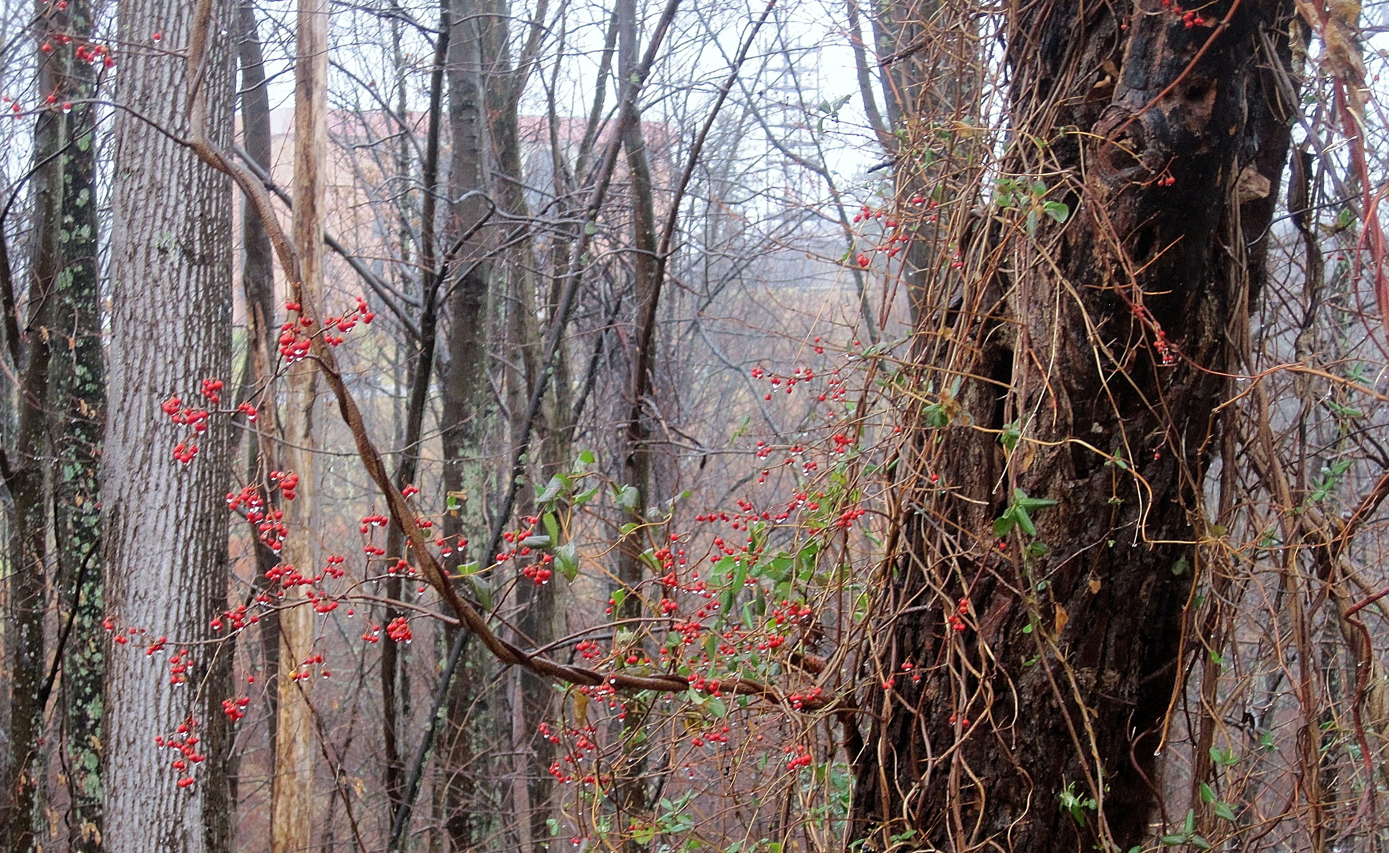
Berries in the woods

Philippi Covered Bridge
Landscape Enlargements

Philippi in autumn
Topographic Map of 7 Strader Lane, Buckhannon, WV, USA
Find elevation by address:

Places near 7 Strader Lane, Buckhannon, WV, USA:
2058 Trainer Rd
Volga
Audra Park Rd, Philippi, WV, USA
Volga, WV, USA
West
113 Lilac Ln
26 High Ridge Ln, Philippi, WV, USA
Jonestown-Mt Liberty, Philippi, WV, USA
Philippi
231 N Walnut St
2nd Street
Silent Grove Rd, Philippi, WV, USA
Philippi, WV, USA
42 Archer Dr
13 Archer Dr
Barbour County
573 4h Camp Rd
Vanoys Mill, Philippi, WV, USA
South
Coyote Run Road
Recent Searches:
- Elevation of Bydgoszcz, Poland
- Elevation of Bydgoszcz, Poland
- Elevation of Calais Dr, Del Mar, CA, USA
- Elevation of Placer Mine Ln, West Jordan, UT, USA
- Elevation of E 63rd St, New York, NY, USA
- Elevation of Elk City, OK, USA
- Elevation of Erika Dr, Windsor, CA, USA
- Elevation of Village Ln, Finleyville, PA, USA
- Elevation of 24 Oakland Rd #, Scotland, ON N0E 1R0, Canada
- Elevation of Deep Gap Farm Rd E, Mill Spring, NC, USA