Elevation of Coyote Run Road, Coyote Run Rd, Belington, WV, USA
Location: United States > West Virginia > Barbour County > South > Belington >
Longitude: -79.935567
Latitude: 39.0489503
Elevation: 538m / 1765feet
Barometric Pressure: 95KPa
Elevation Map:
Satellite Map:
Related Photos:
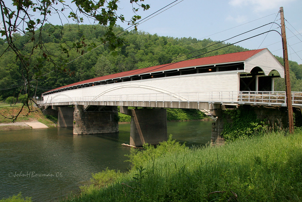
Philippi Covered Bridge - West Virginia

Roadside view

Roadside View 2

Storm grate - 200 block of Randolph Street - Elkins, West Virginia
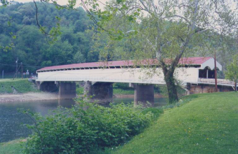
Philippi Covered Bridge

Moth - Detail
A View from Graceland
Graceland Inn - Side View

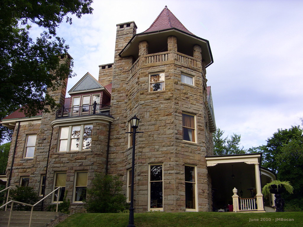
Halliehurst Hall - Back View
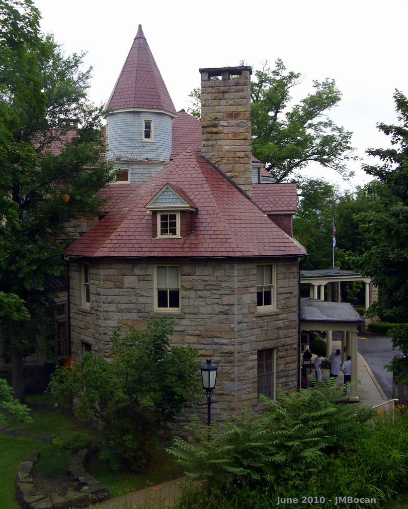
Graceland - Side View

DSCS702346.JPG
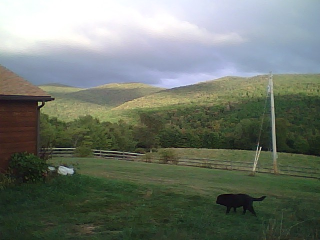
On the hill

Greens of Autumn
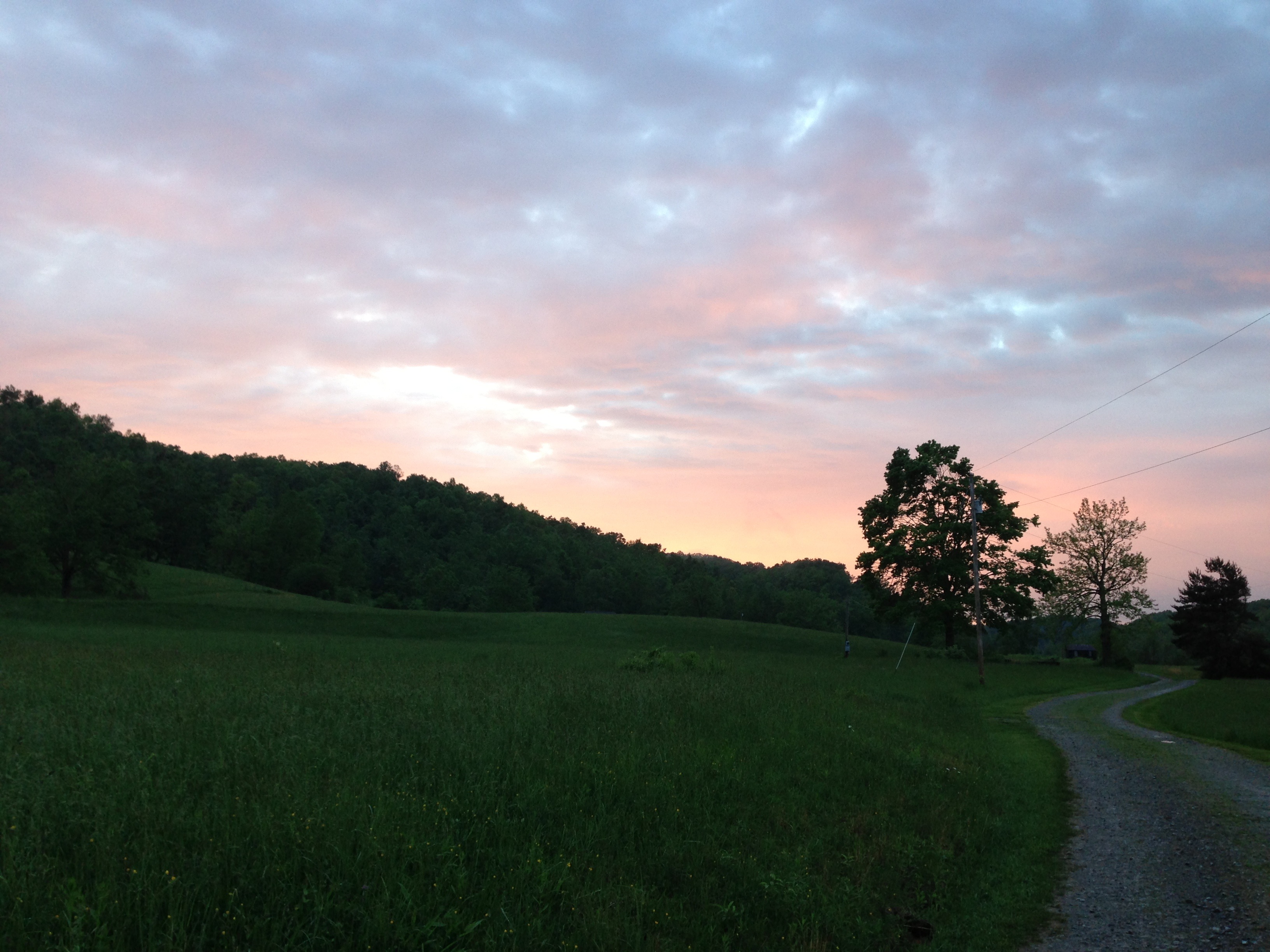
Evening light
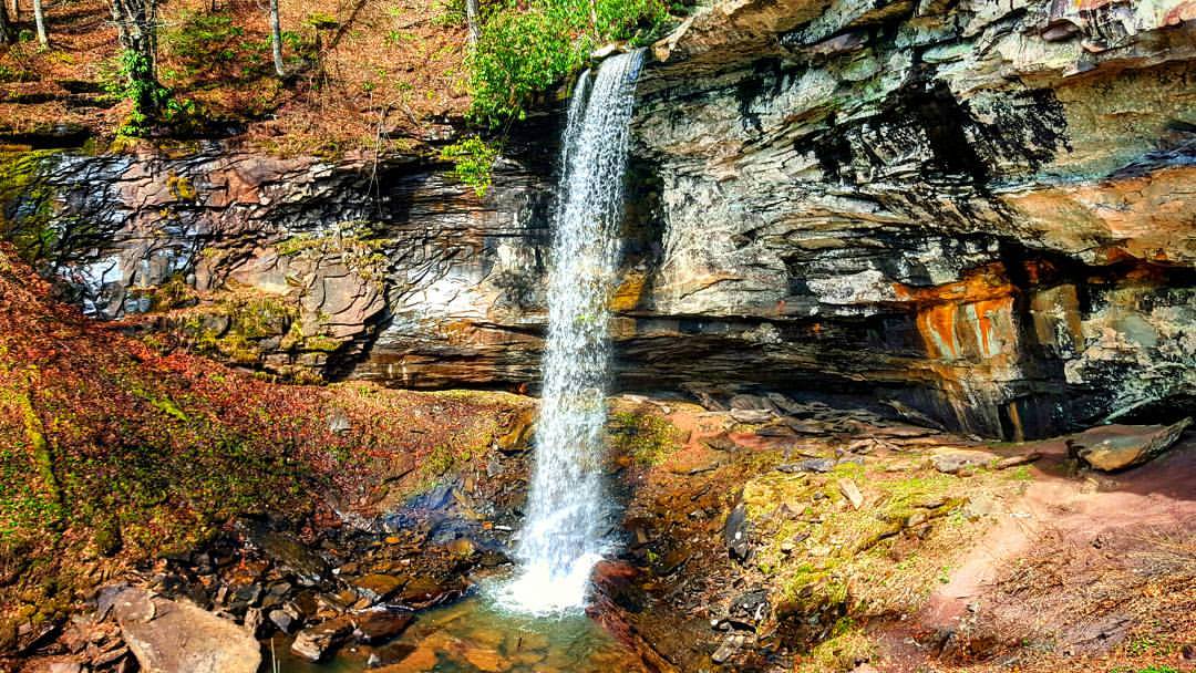
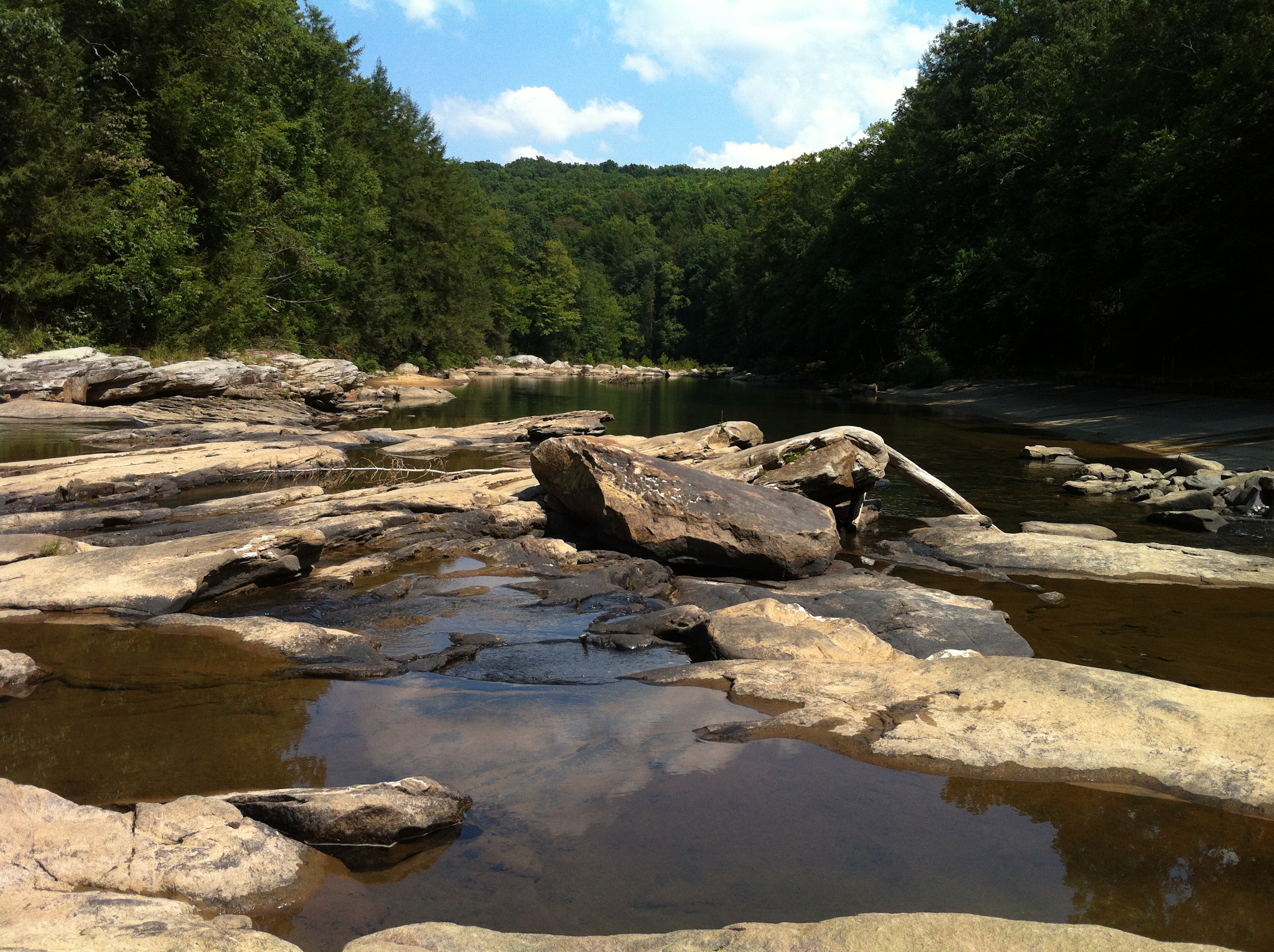
The 63 foot lower falls at Falls of Hills Creek ???? #waterfall #gotowv #wv #nature #everytrailconnects
Falling Water 2
Falling Water 3
#dartmeet #devon #dartmoor #dslr #d80 #nikon #water #waterfall #stream #longexposure
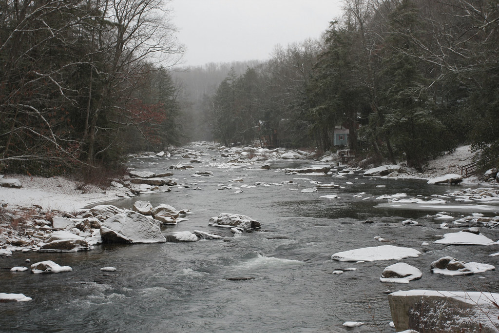
Melting Snow
Woods behind my parents' house
Pine needles
Sunset Through Trees
Audra State Park
Img1984 06-Dec-08
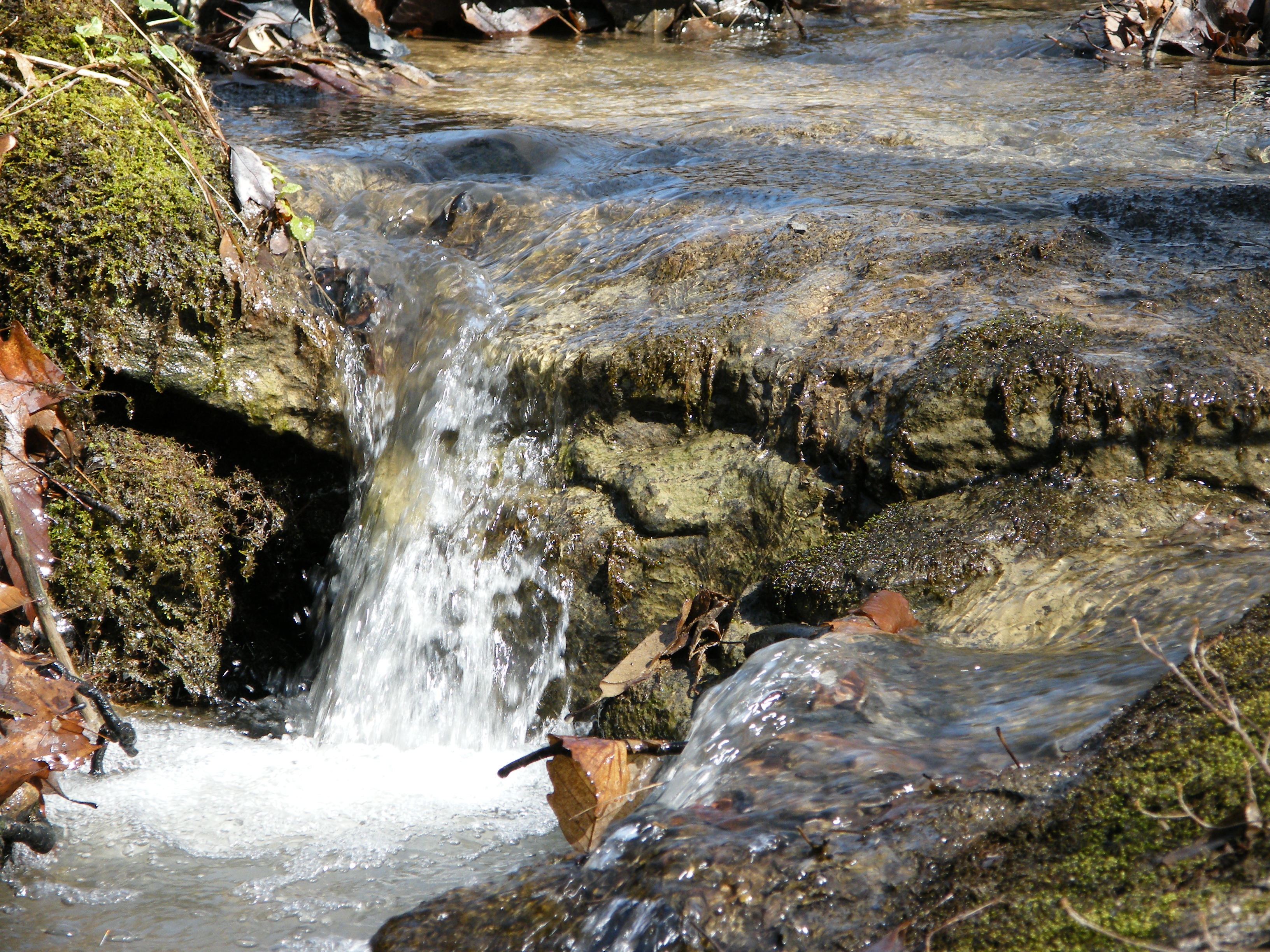
Falling Water 4

14/365
Tree branches

Philippi Covered Bridge
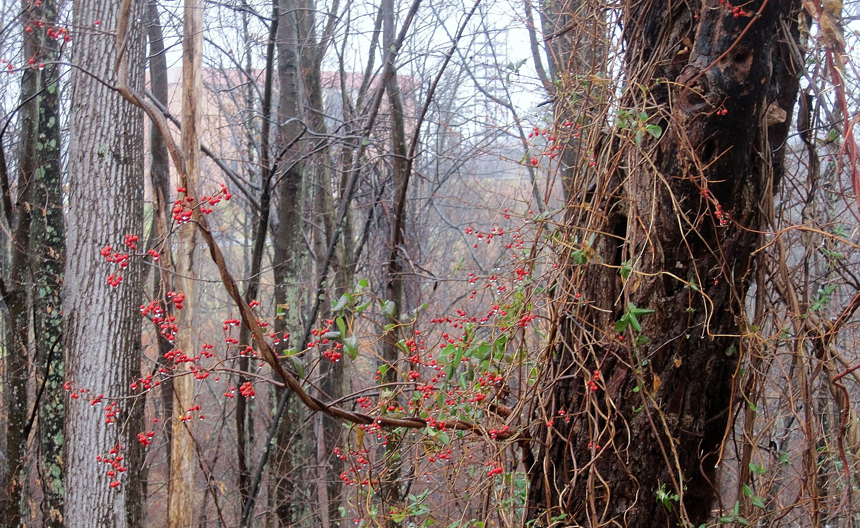
Berries in the woods
Landscape Enlargements

Audra State Park
Topographic Map of Coyote Run Road, Coyote Run Rd, Belington, WV, USA
Find elevation by address:

Places near Coyote Run Road, Coyote Run Rd, Belington, WV, USA:
South
Belington
573 4h Camp Rd
Vanoys Mill, Philippi, WV, USA
Jonestown-Mt Liberty, Philippi, WV, USA
42 Archer Dr
13 Archer Dr
Silent Grove Rd, Philippi, WV, USA
Pleasure Valley Rd, Belington, WV, USA
3917 Nestorville Rd
Co Rte 5/7, Philippi, WV, USA
26 High Ridge Ln, Philippi, WV, USA
Barbour County
New Interest
Salt Lick Road
5074 Nestorville Rd
883 Teter Creek
Montrose
663 Teter Creek
6576 Parsons Rd
Recent Searches:
- Elevation of 6 Rue Jules Ferry, Beausoleil, France
- Elevation of Sattva Horizon, 4JC6+G9P, Vinayak Nagar, Kattigenahalli, Bengaluru, Karnataka, India
- Elevation of Great Brook Sports, Gold Star Hwy, Groton, CT, USA
- Elevation of 10 Mountain Laurels Dr, Nashua, NH, USA
- Elevation of 16 Gilboa Ln, Nashua, NH, USA
- Elevation of Laurel Rd, Townsend, TN, USA
- Elevation of 3 Nestling Wood Dr, Long Valley, NJ, USA
- Elevation of Ilungu, Tanzania
- Elevation of Yellow Springs Road, Yellow Springs Rd, Chester Springs, PA, USA
- Elevation of Rēzekne Municipality, Latvia