Elevation of N Walnut St, Philippi, WV, USA
Location: United States > West Virginia > Barbour County > North > Philippi >
Longitude: -80.041946
Latitude: 39.1547046
Elevation: 396m / 1299feet
Barometric Pressure: 97KPa
Elevation Map:
Satellite Map:
Related Photos:

Side View of Philippi Covered Bridge

Barbour County (WV) Courthouse

Clock, Philippi, WV

Philippi, West Virginia

Philippi WV ~ Alderson Broaddus University

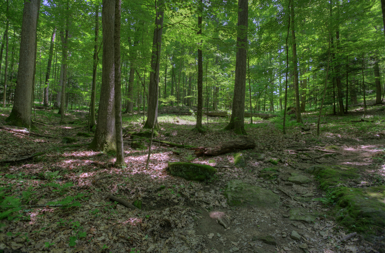
Farm Pathway

Old House

Rusted and Forgotten

Philippi Covered Bridge - West Virginia

Still a Diamond

Old House - WA from Hilltop

Bidding Me Farewell

One Good Wind Came

Plainly visible "SKY CROSSINGS" above the river.

On the hill

Pleasant Creek

Empties high over Pleasant Creek

Spring in Philippi

Moats Falls on the Tygart River, just below Arden. (Panorama)

WV Wetlands

Tygart Valley River Boulders

Tygart Valley River Boulders B&W

Greens of Autumn

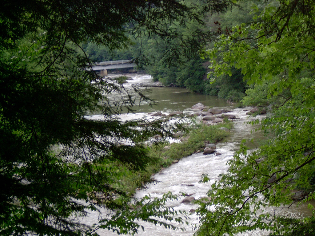
The Bridge at Philippi

WV sunset
Audra State Park
Middle Fork River Image 3 7-14-2004 Photo

Middle Fork River Image 7 7-14-2004 Photo

Pleasant Creek Wildlife Management Area

Teter Creek Lake

Audra State Park

Audra State Park

Teter Creek Lake
Topographic Map of N Walnut St, Philippi, WV, USA
Find elevation by address:

Places near N Walnut St, Philippi, WV, USA:
Philippi
2nd Street
Philippi, WV, USA
Barbour County
Silent Grove Rd, Philippi, WV, USA
13 Archer Dr
42 Archer Dr
113 Lilac Ln
26 High Ridge Ln, Philippi, WV, USA
573 4h Camp Rd
Jonestown-Mt Liberty, Philippi, WV, USA
West
Vanoys Mill, Philippi, WV, USA
3917 Nestorville Rd
Co Rte 5/7, Philippi, WV, USA
Volga, WV, USA
North
5074 Nestorville Rd
Audra Park Rd, Philippi, WV, USA
Volga
Recent Searches:
- Elevation of Groblershoop, South Africa
- Elevation of Power Generation Enterprises | Industrial Diesel Generators, Oak Ave, Canyon Country, CA, USA
- Elevation of Chesaw Rd, Oroville, WA, USA
- Elevation of N, Mt Pleasant, UT, USA
- Elevation of 6 Rue Jules Ferry, Beausoleil, France
- Elevation of Sattva Horizon, 4JC6+G9P, Vinayak Nagar, Kattigenahalli, Bengaluru, Karnataka, India
- Elevation of Great Brook Sports, Gold Star Hwy, Groton, CT, USA
- Elevation of 10 Mountain Laurels Dr, Nashua, NH, USA
- Elevation of 16 Gilboa Ln, Nashua, NH, USA
- Elevation of Laurel Rd, Townsend, TN, USA