Elevation of Audra Park Rd, Philippi, WV, USA
Location: United States > West Virginia > Barbour County > North > Philippi >
Longitude: -80.135399
Latitude: 39.078567
Elevation: 435m / 1427feet
Barometric Pressure: 96KPa
Elevation Map:
Satellite Map:
Related Photos:
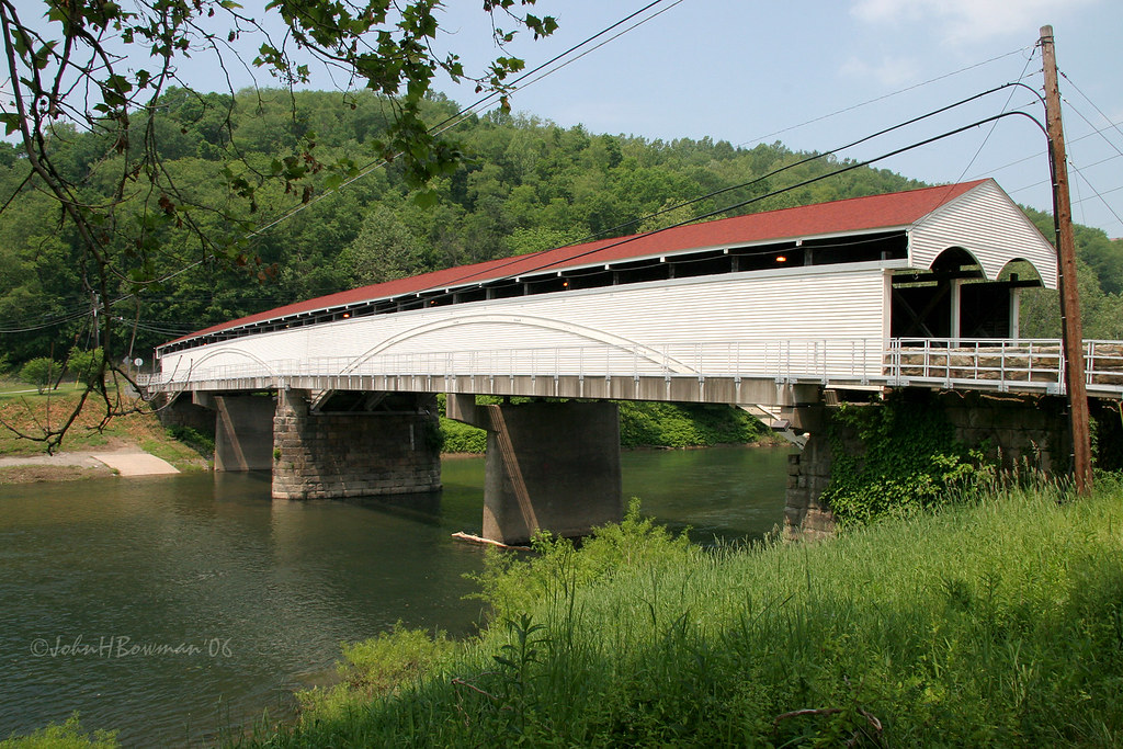
Philippi Covered Bridge - West Virginia

Red barn -- Upsher County, West Virginia (#2)

Red barn -- Upsher County, West Virginia (#1)
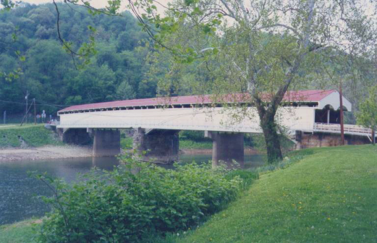
Philippi Covered Bridge

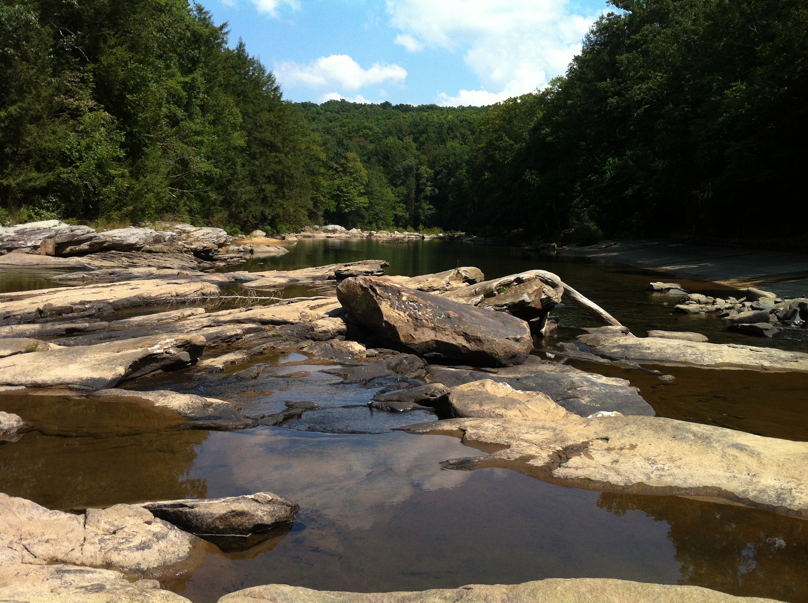
Audra State Park
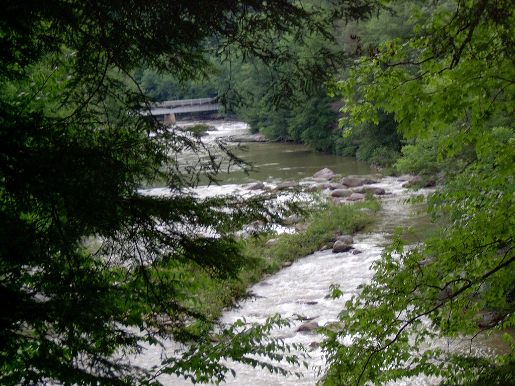
Middle Fork River Image 3 7-14-2004 Photo
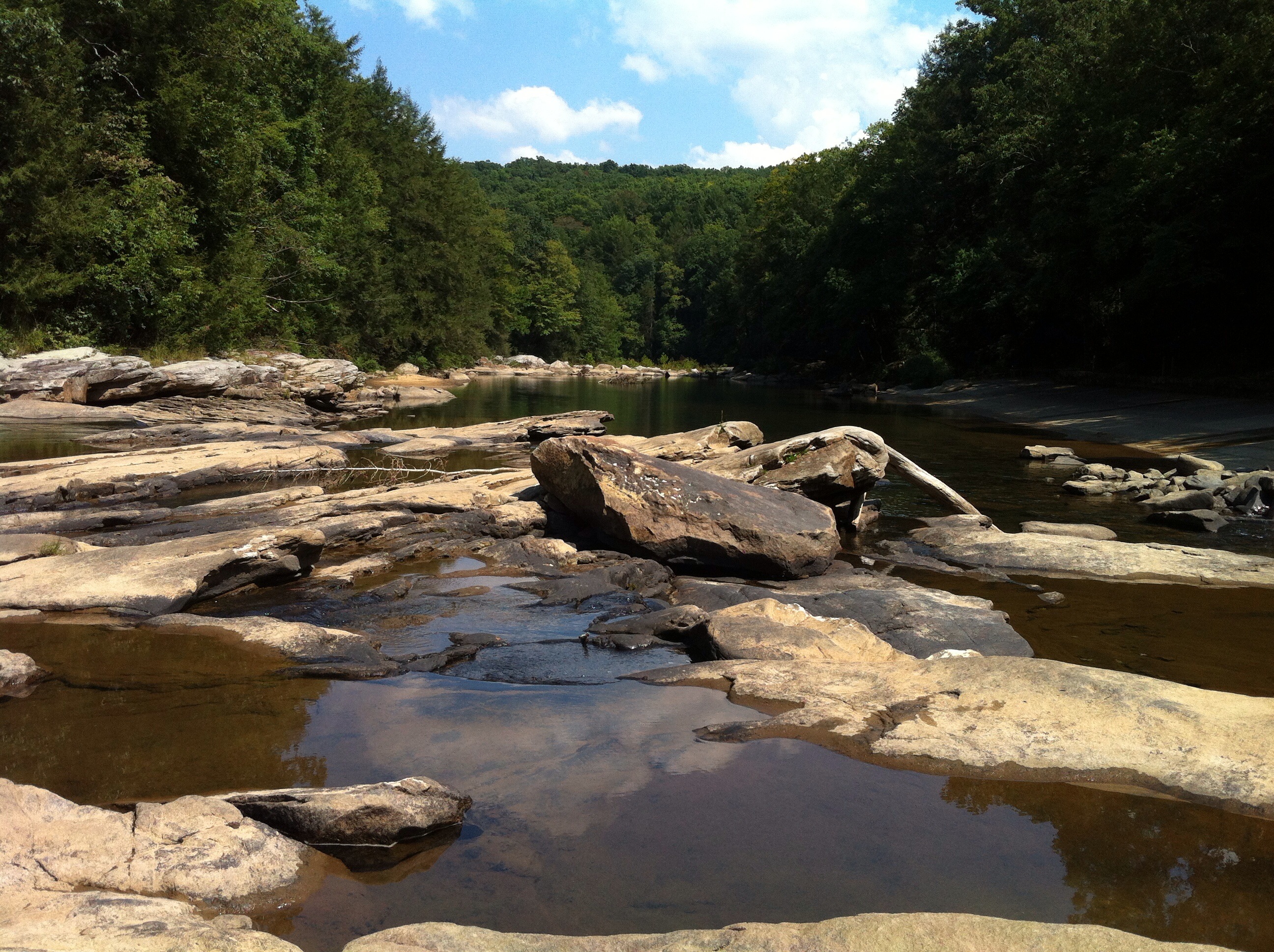
Audra State Park
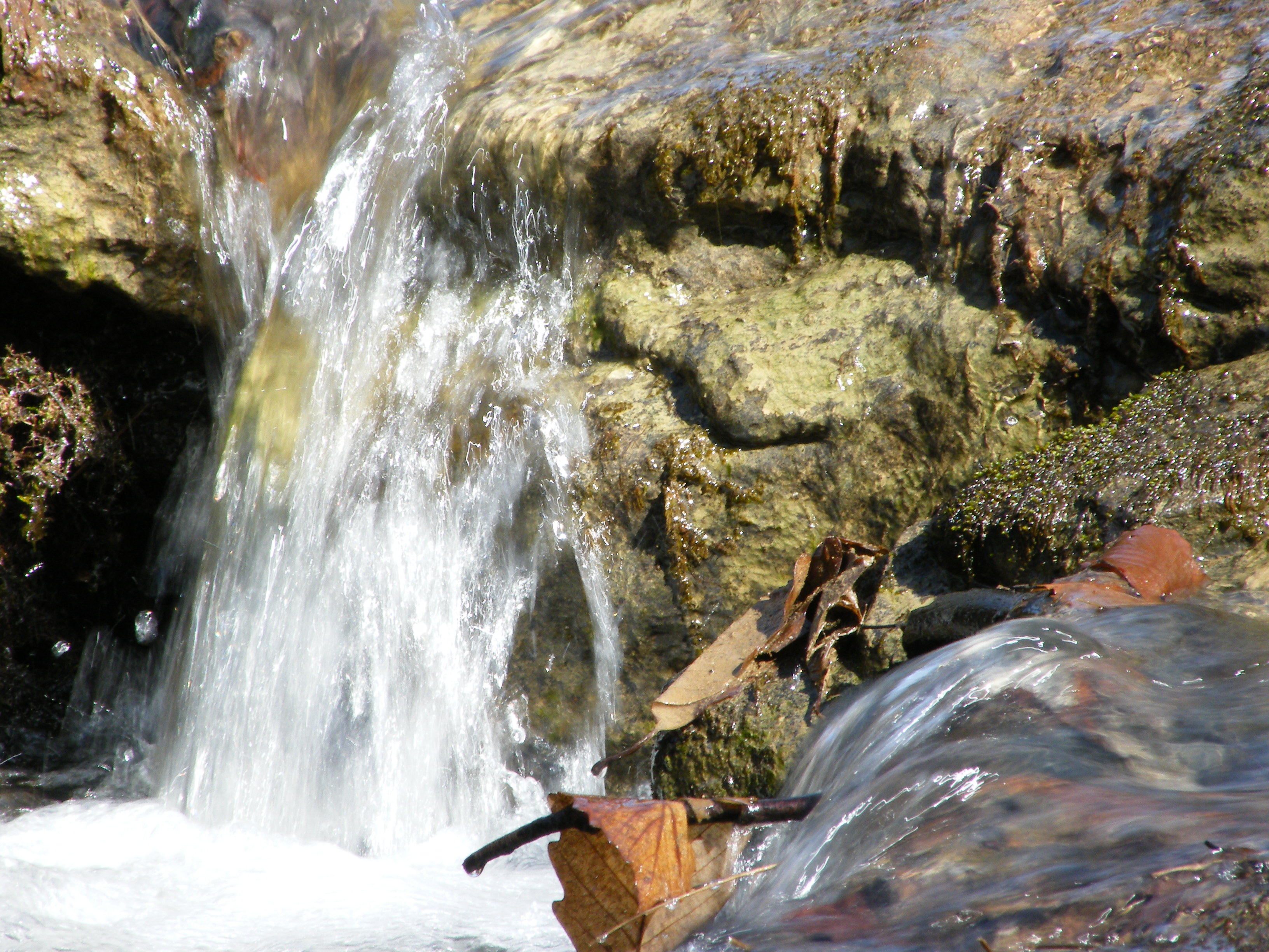
Falling Water 2
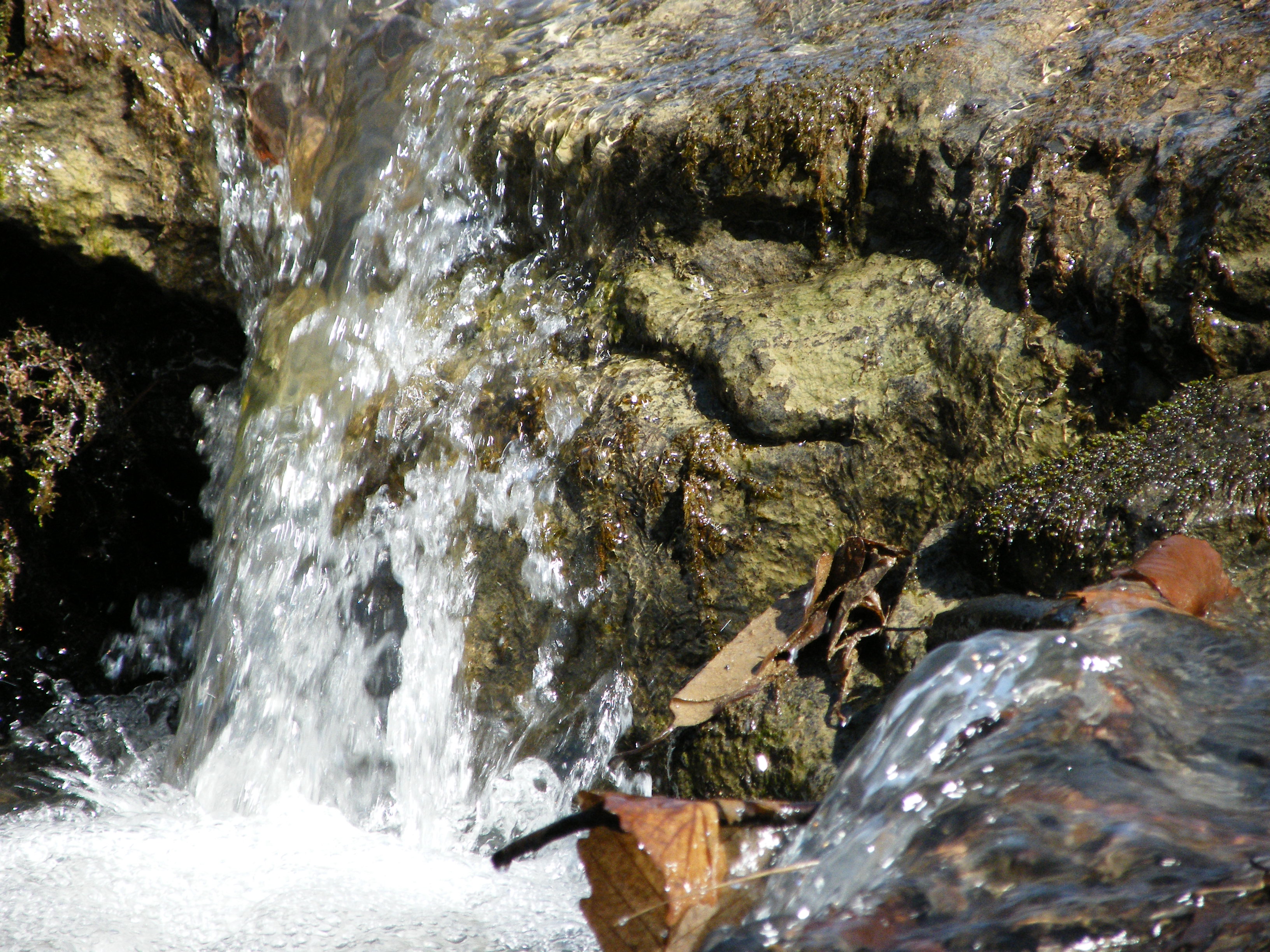
Falling Water 3

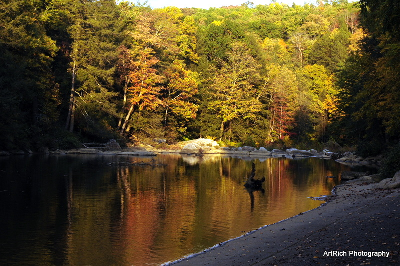
Greens of Autumn
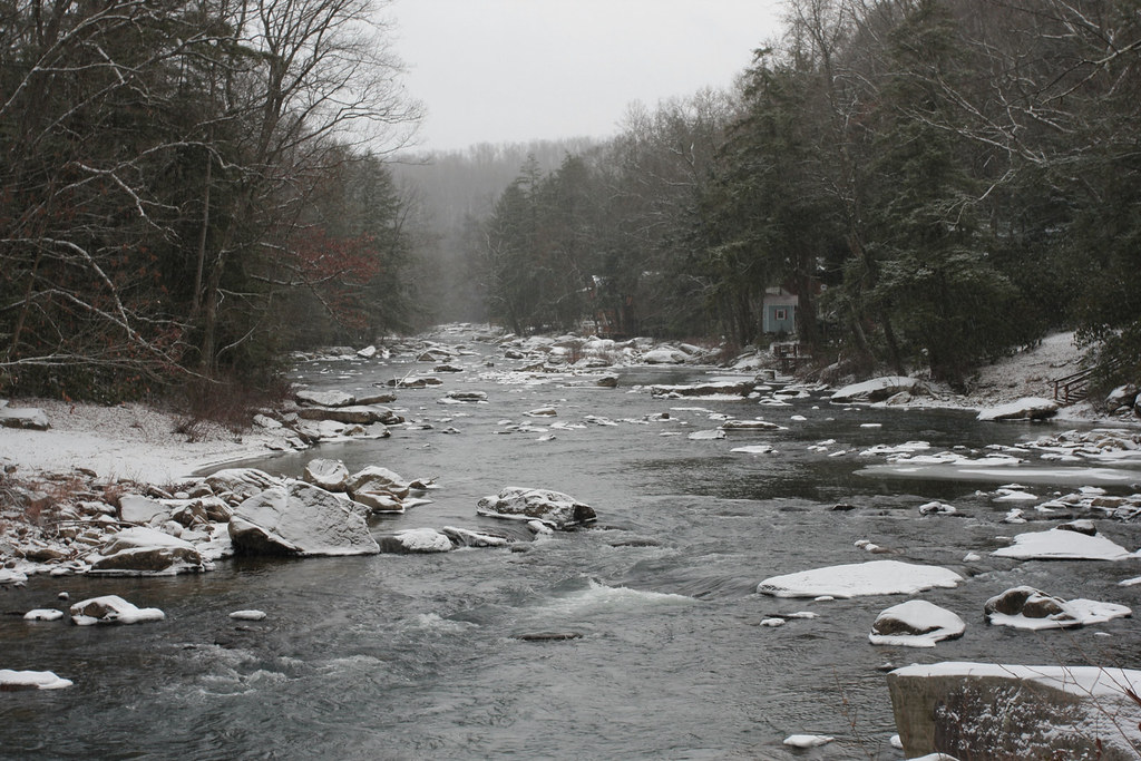
Melting Snow
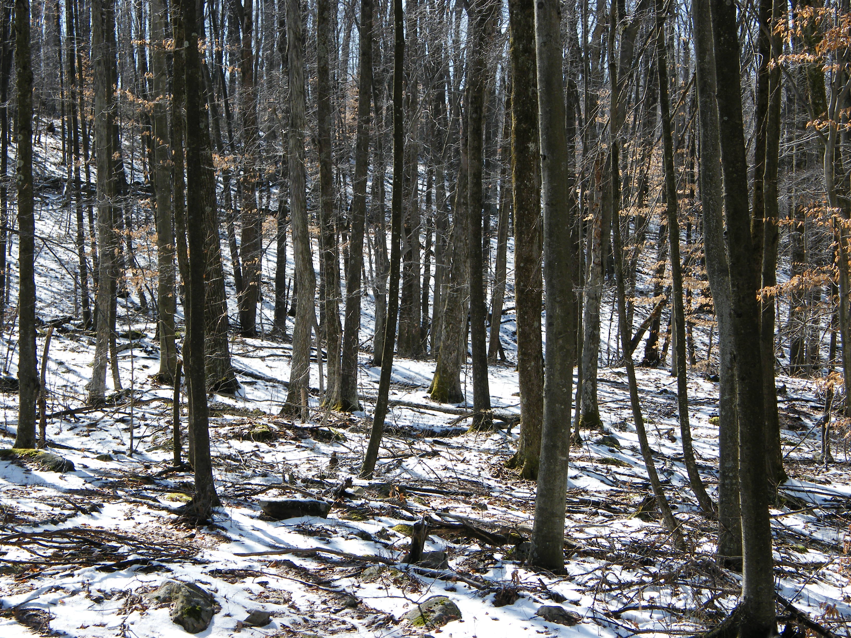
Woods behind my parents' house

Pine needles

Sunset Through Trees
Audra State Park

Bridge 972-20
Img1984 06-Dec-08
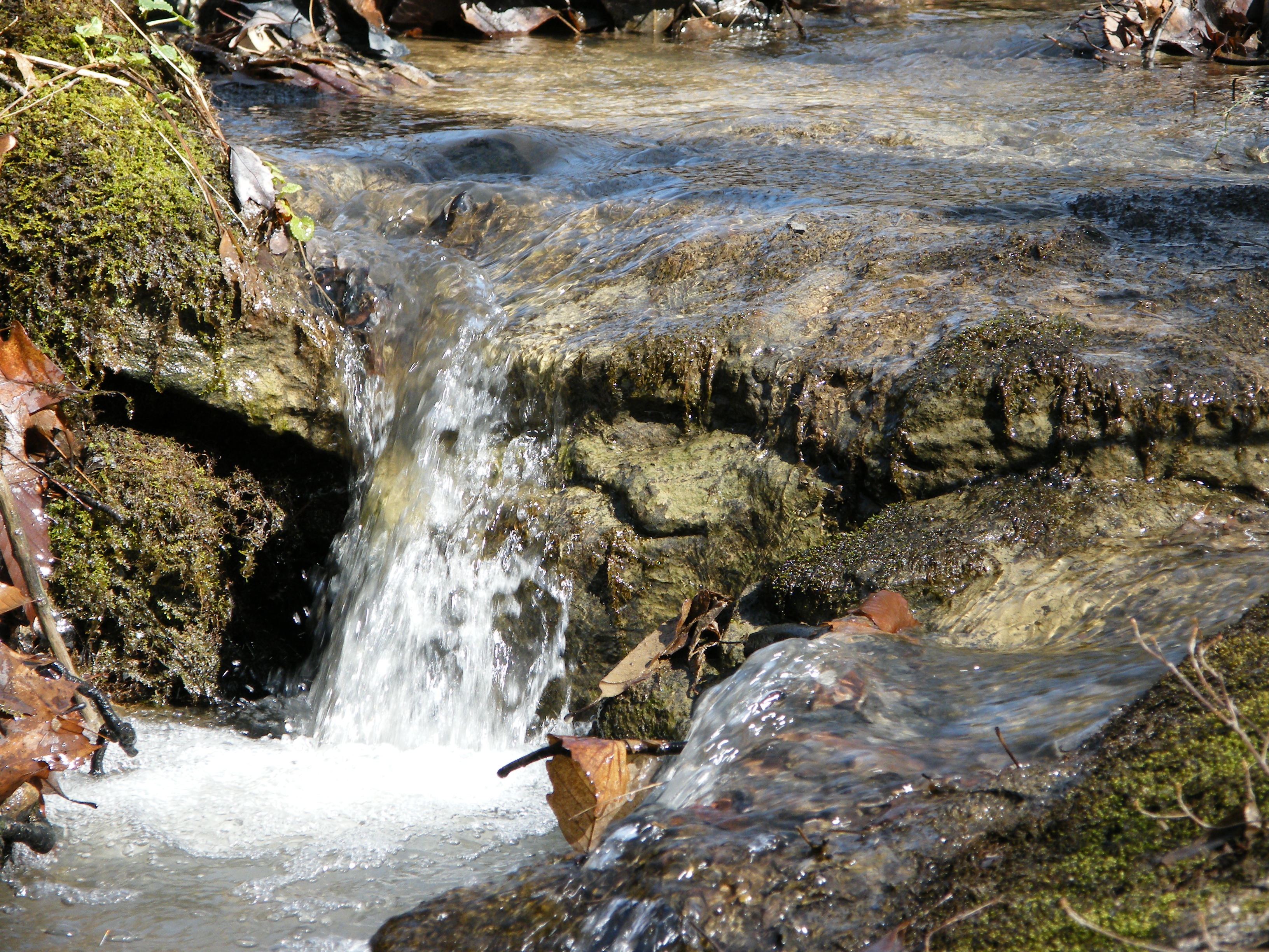
Falling Water 4
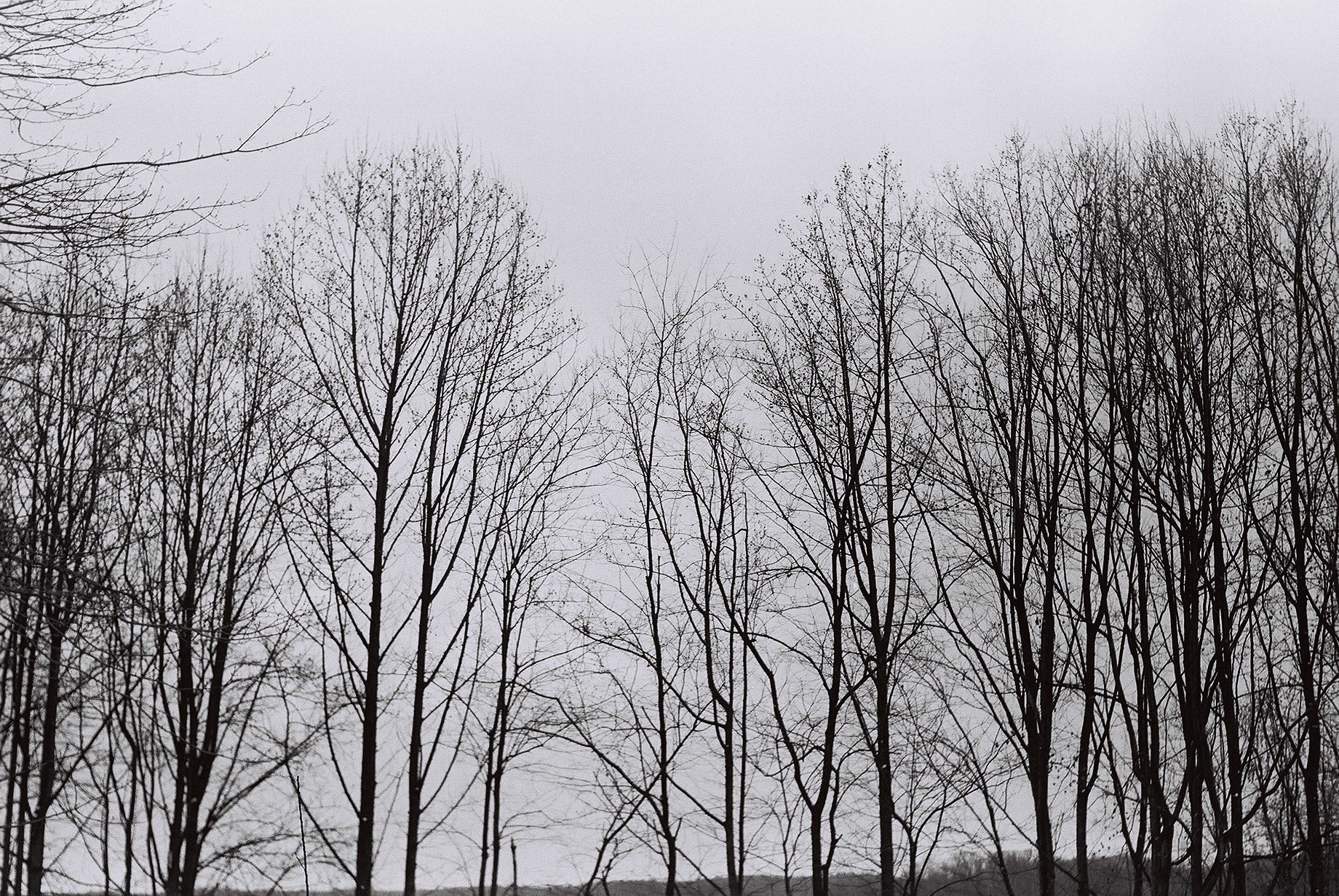
Tree branches

Berries in the woods

Philippi Covered Bridge
Landscape Enlargements

Philippi in autumn
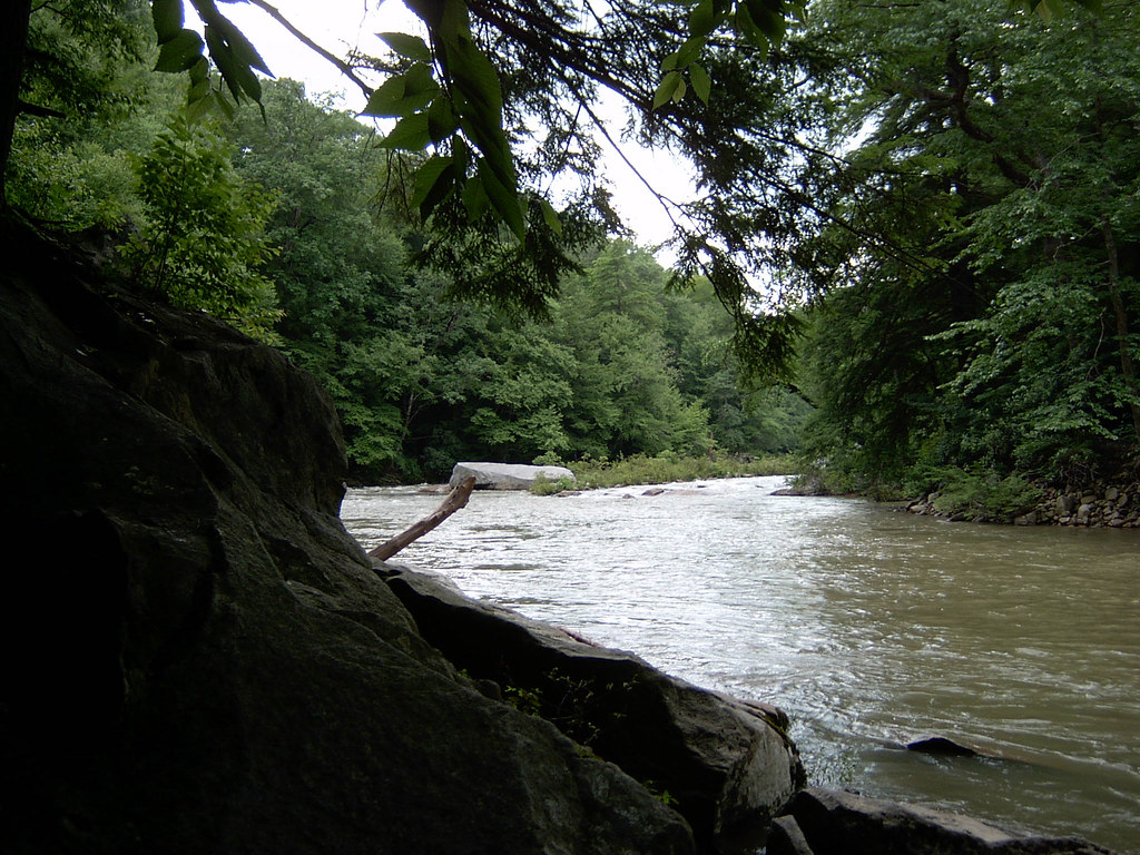
Middle Fork River Image 4 7-14-2004 Photo
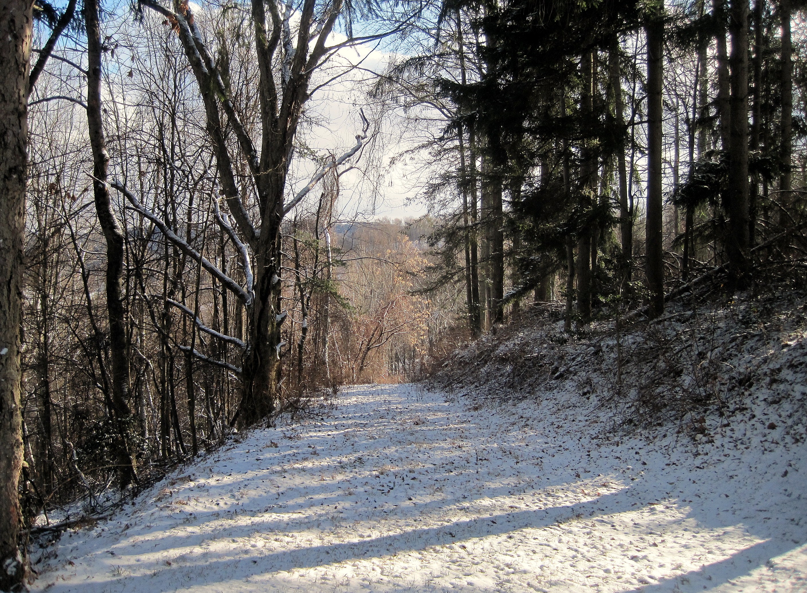
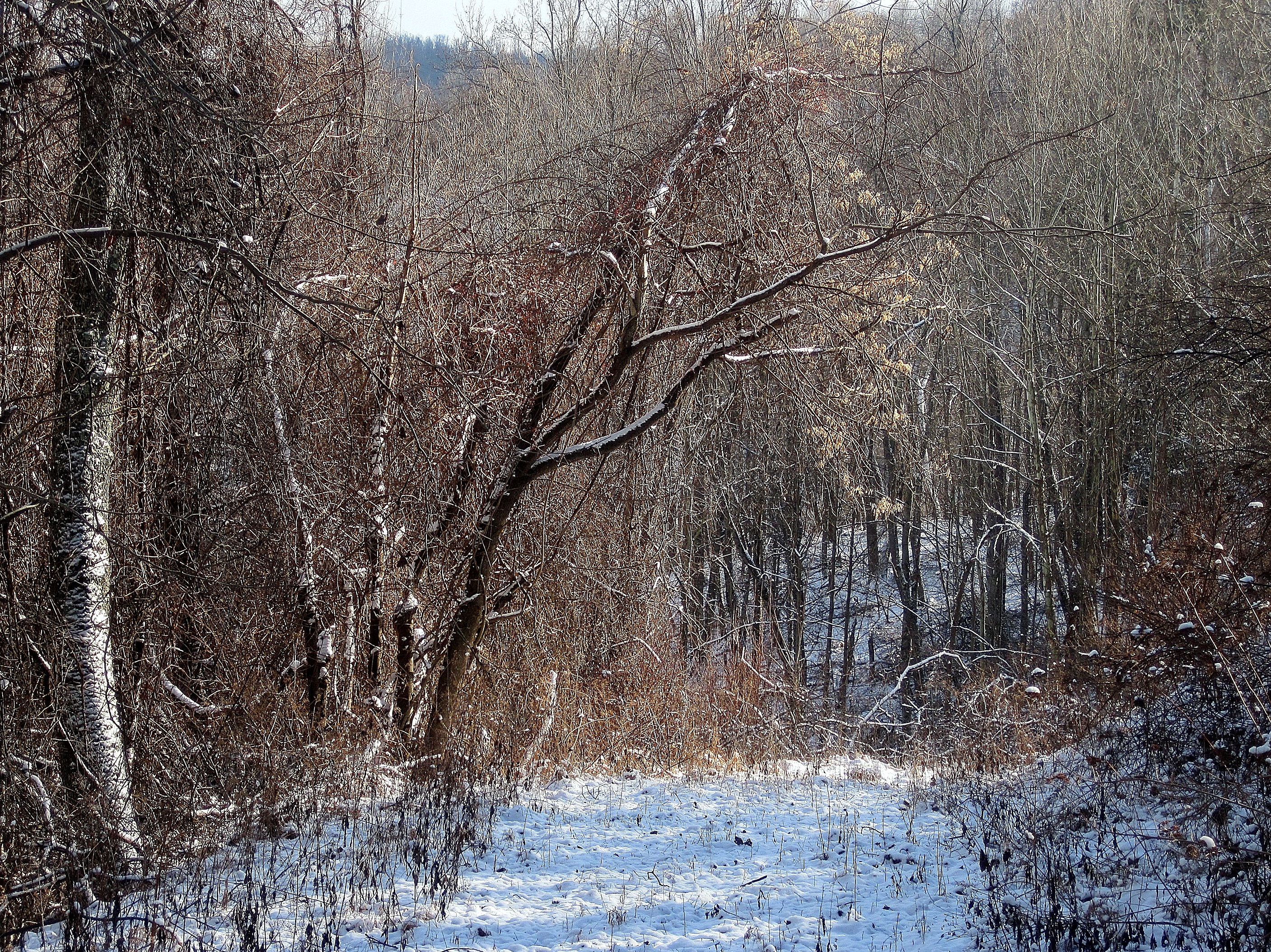
Path through woods
Topographic Map of Audra Park Rd, Philippi, WV, USA
Find elevation by address:

Places near Audra Park Rd, Philippi, WV, USA:
Volga
Volga, WV, USA
7 Strader Lane, Buckhannon, WV, USA
2058 Trainer Rd
West
113 Lilac Ln
26 High Ridge Ln, Philippi, WV, USA
Jonestown-Mt Liberty, Philippi, WV, USA
Philippi
231 N Walnut St
2nd Street
Silent Grove Rd, Philippi, WV, USA
Philippi, WV, USA
Barbour County
42 Archer Dr
13 Archer Dr
573 4h Camp Rd
Vanoys Mill, Philippi, WV, USA
South
Coyote Run Road
Recent Searches:
- Elevation of Corso Fratelli Cairoli, 35, Macerata MC, Italy
- Elevation of Tallevast Rd, Sarasota, FL, USA
- Elevation of 4th St E, Sonoma, CA, USA
- Elevation of Black Hollow Rd, Pennsdale, PA, USA
- Elevation of Oakland Ave, Williamsport, PA, USA
- Elevation of Pedrógão Grande, Portugal
- Elevation of Klee Dr, Martinsburg, WV, USA
- Elevation of Via Roma, Pieranica CR, Italy
- Elevation of Tavkvetili Mountain, Georgia
- Elevation of Hartfords Bluff Cir, Mt Pleasant, SC, USA