Elevation of 32 R B Dr, Prestonsburg, KY, USA
Location: United States > Kentucky > Floyd County > Prestonsburg >
Longitude: -82.606307
Latitude: 37.6336204
Elevation: 219m / 719feet
Barometric Pressure: 99KPa
Elevation Map:
Satellite Map:
Related Photos:

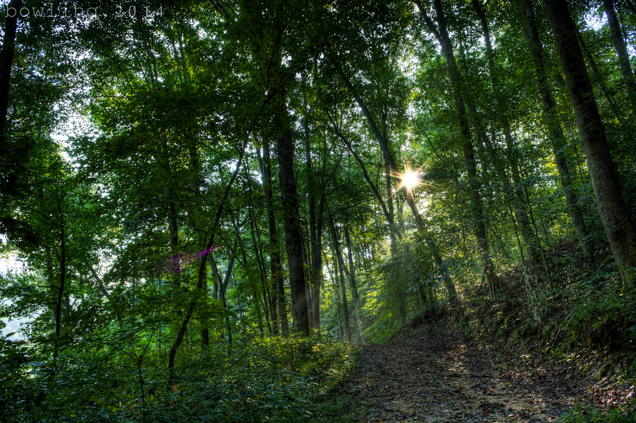
Butterfly Dreams

Fall at Dewey Lake
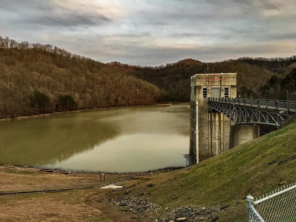
Dewey Dam

Bald Cypresses

_DSC4276.jpg
an inside job

_DSC4010.jpg

_DSC3862.jpg

_DSC3337.jpg
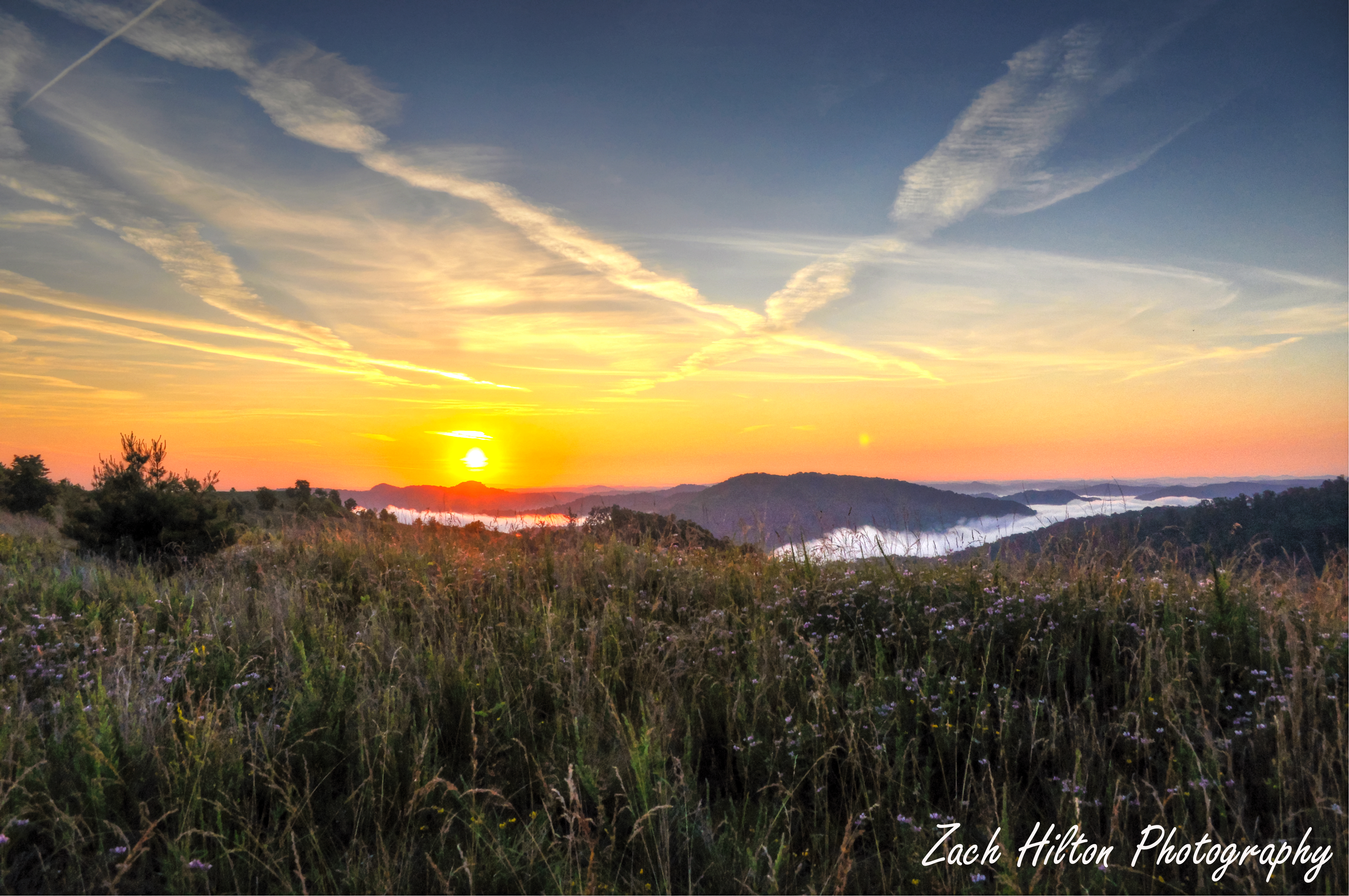
Mountain Sunrise
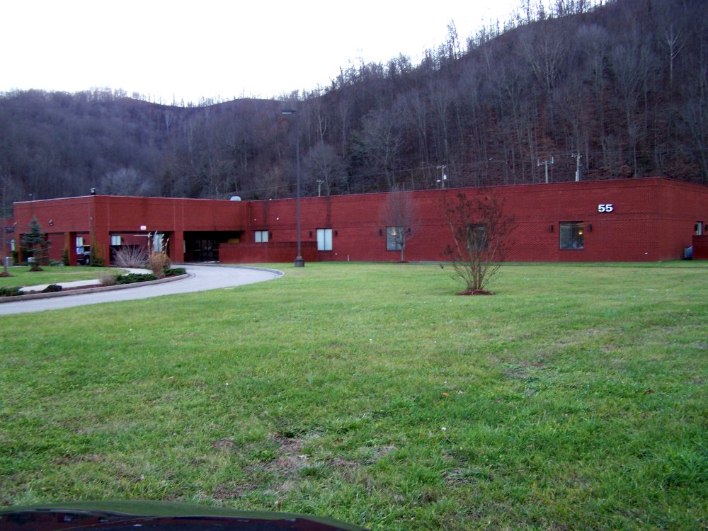
ACS Building Pikeville KY 1

Marina 2
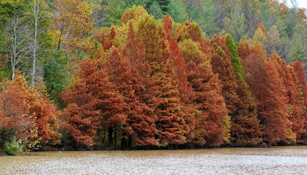
Cypress in Fall

Kentucky Sunrise

Dewey Lake Reflection
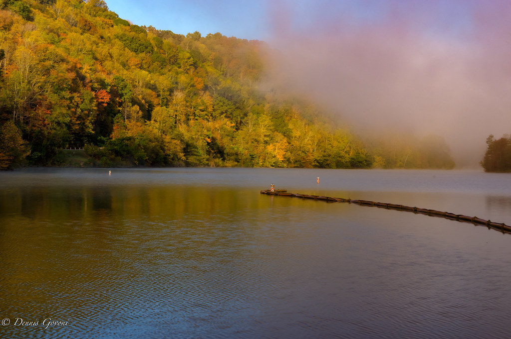
Marina Colors and Fog
Youthworks 2005 065
Youthworks 2005 066
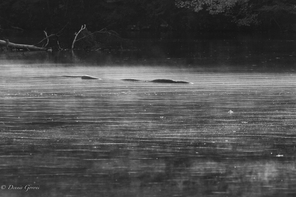
Loch Dewey Monster

Sunday Morning Coal Train
Topographic Map of 32 R B Dr, Prestonsburg, KY, USA
Find elevation by address:

Places near 32 R B Dr, Prestonsburg, KY, USA:
235 Sycamore Rd
German Bridge Campground
Ivel
US-23, Ivel, KY, USA
N Mayo Trail, Pikeville, KY, USA
N Mayo Trail, Pikeville, KY, USA
7143 Joes Creek
Allen-banner Road
Allen-banner Road
Allen City
2655 N Mayo Trail
S Lake Dr, Prestonsburg, KY, USA
KY-, Allen City, KY, USA
River Bottom Rd, Martin, KY, USA
Airport Road
Debord, KY, USA
Kizer Rd, Prestonsburg, KY, USA
Usp Big Sandy
Grethel
Jenny Wiley State Park Road
Recent Searches:
- Elevation of Lampiasi St, Sarasota, FL, USA
- Elevation of Elwyn Dr, Roanoke Rapids, NC, USA
- Elevation of Congressional Dr, Stevensville, MD, USA
- Elevation of Bellview Rd, McLean, VA, USA
- Elevation of Stage Island Rd, Chatham, MA, USA
- Elevation of Shibuya Scramble Crossing, 21 Udagawacho, Shibuya City, Tokyo -, Japan
- Elevation of Jadagoniai, Kaunas District Municipality, Lithuania
- Elevation of Pagonija rock, Kranto 7-oji g. 8"N, Kaunas, Lithuania
- Elevation of Co Rd 87, Jamestown, CO, USA
- Elevation of Tenjo, Cundinamarca, Colombia