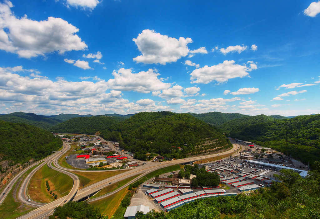
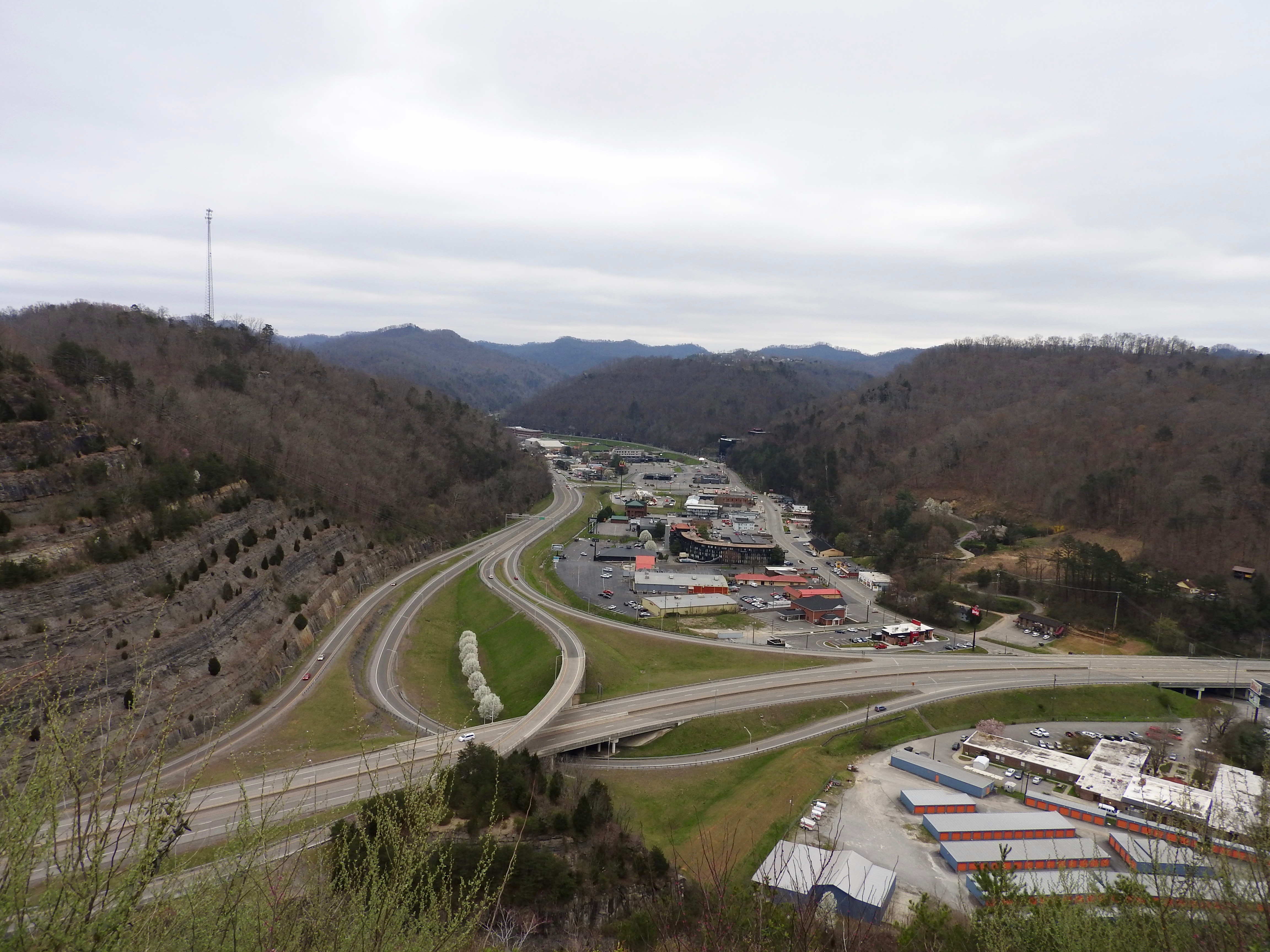
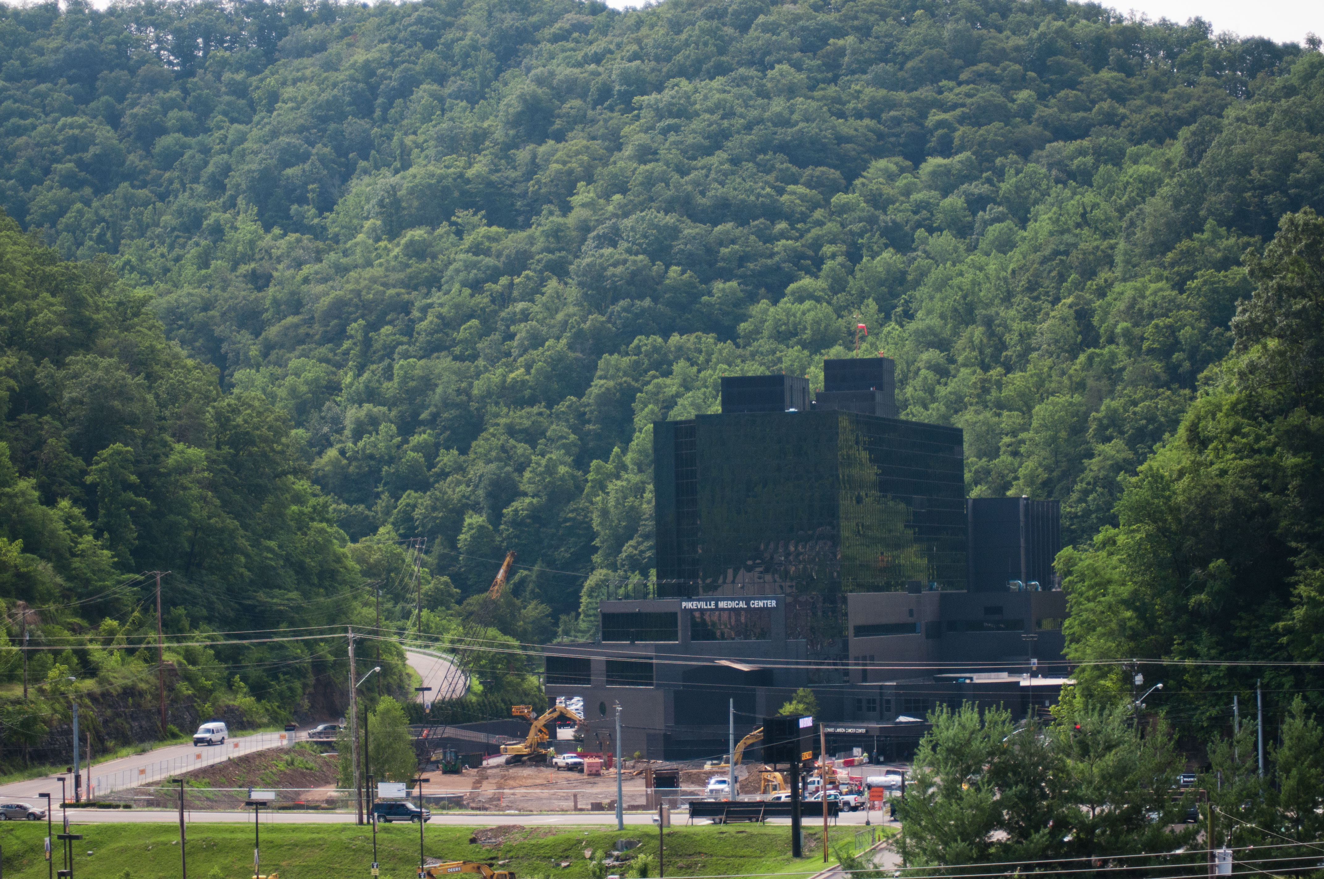
Elevation of N Mayo Trail, Pikeville, KY, USA
Location: United States > Kentucky > Pike County > Pikeville >
Longitude: -82.581702
Latitude: 37.5388892
Elevation: 202m / 663feet
Barometric Pressure: 99KPa
Elevation Map:
Satellite Map:
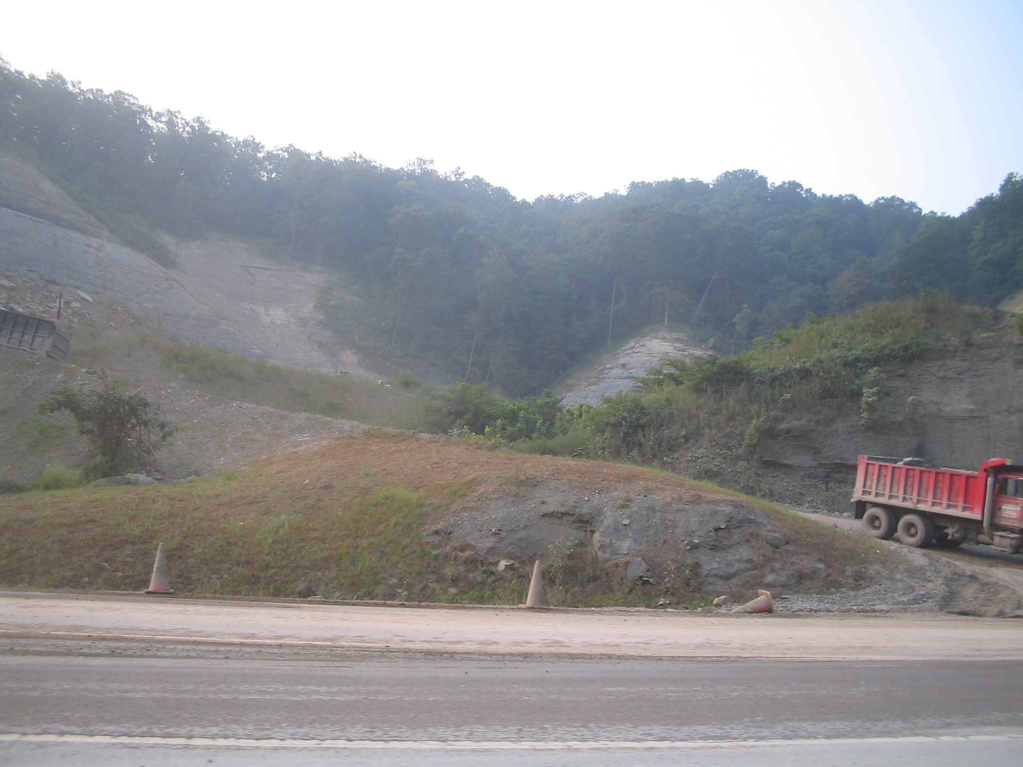
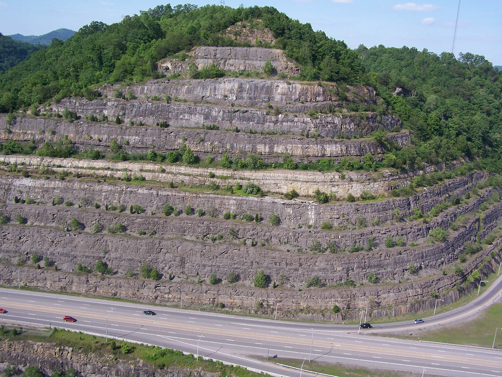
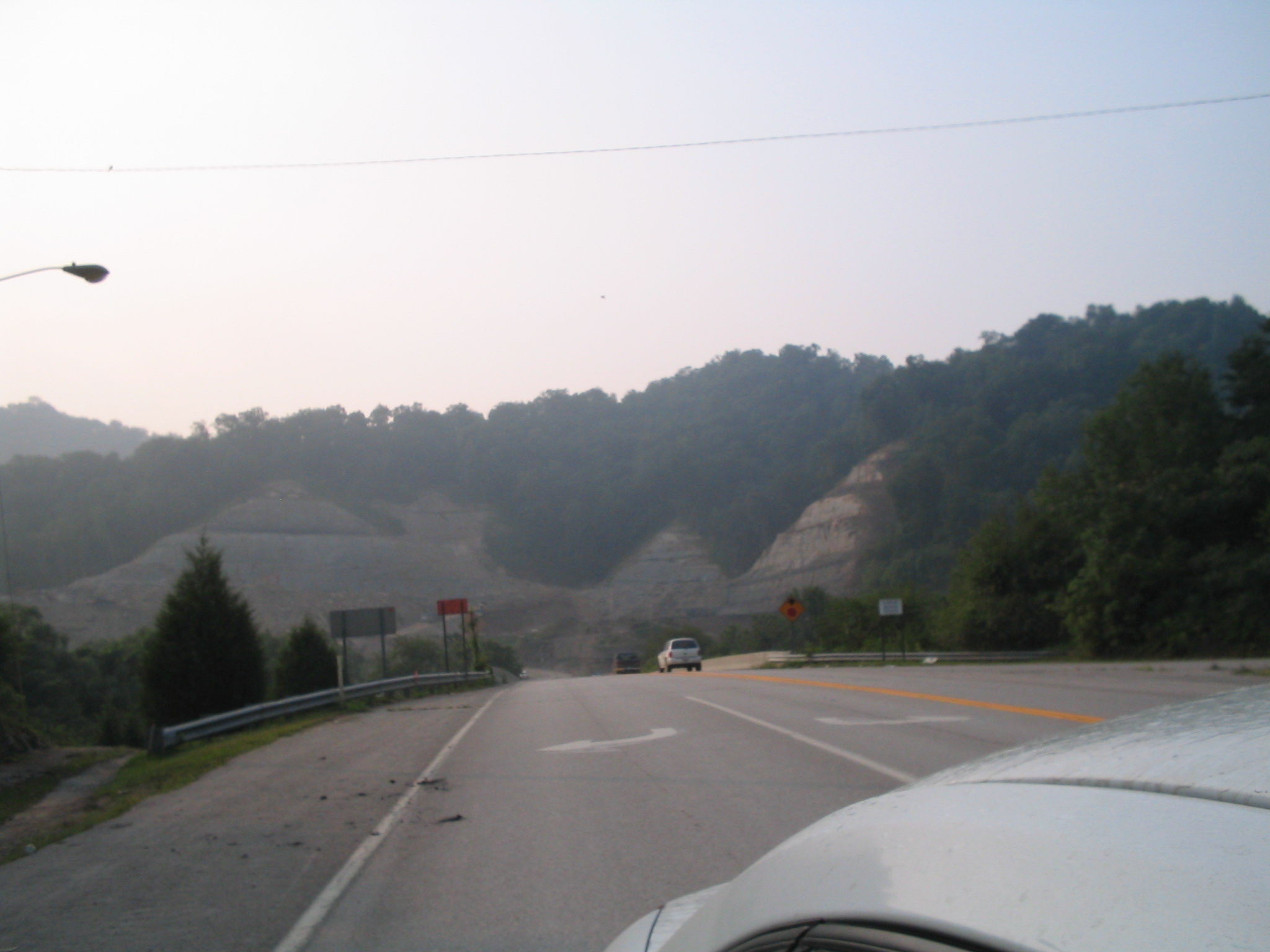
Related Photos:

Butterfly Dreams

Pauley Bridge
Pikeville, KY

20110712-RD-LSC-0224

DND365 19
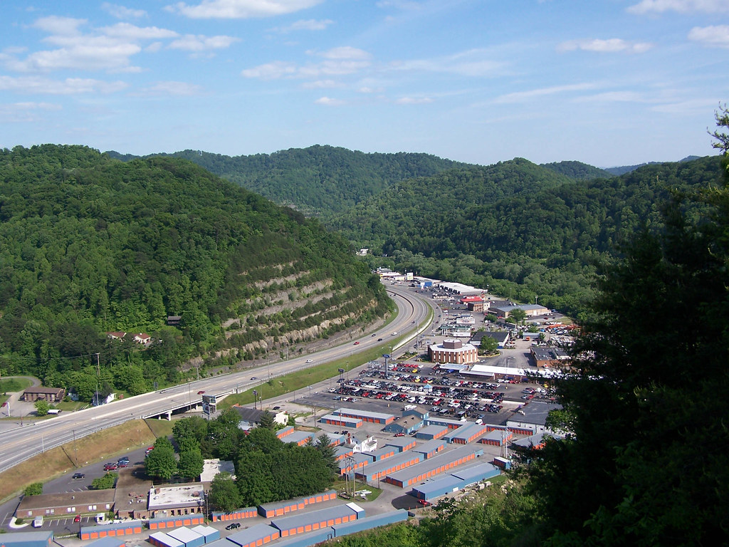
Pikeville Overlook

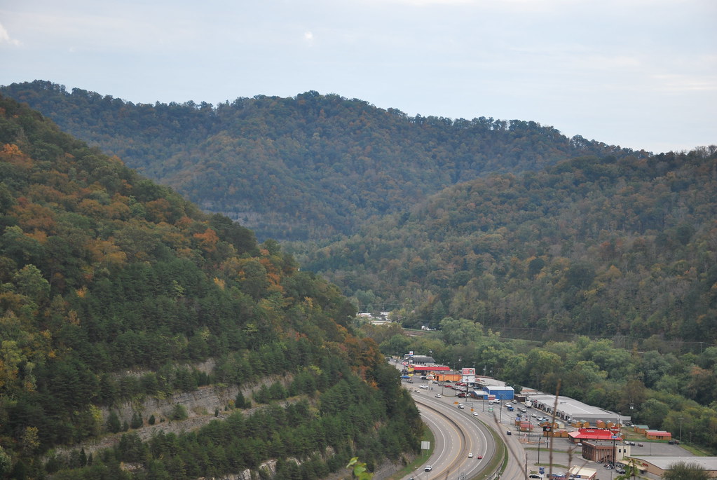
Pikeville Overlook

Levisa Fork: Big Sandy River

Day 239: Pikeville Cut-Through

Sunday Morning Coal Train
20110712-RD-LSC-0214

20110712RD-LSC-0231
kentucky.

God's Country
Pikeville Cut-Through
Pikeville Cut-Thru
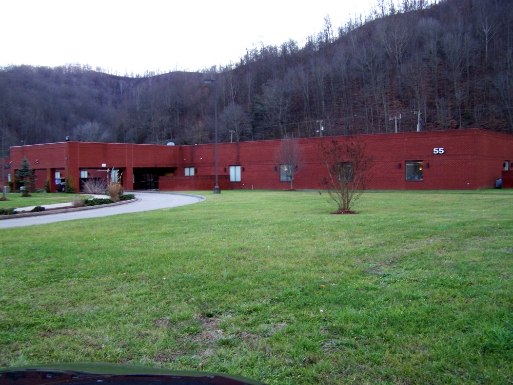
ACS Building Pikeville KY 1

Pikeville Cut-Thru
Pikeville Cut-Through

Pikeville Cut-Through

20060523 Pikeville 032

20060523 Pikeville 029
Youthworks 2005 065
Pikeville Cut-Through

US 119 Construction near Pikeville
Youthworks 2005 066
Topographic Map of N Mayo Trail, Pikeville, KY, USA
Find elevation by address:

Places near N Mayo Trail, Pikeville, KY, USA:
N Mayo Trail, Pikeville, KY, USA
2655 N Mayo Trail
9 Bob Amos Dr
Grethel
Pikeville
7143 Joes Creek
Island Creek Rd, Pikeville, KY, USA
KY-, Grethel, KY, USA
235 Sycamore Rd
32 R B Dr, Prestonsburg, KY, USA
400 Harolds Branch
Ivel
S Mayo Trail, Pikeville, KY, USA
US-23, Ivel, KY, USA
Pike County
Walker Tackett Dr, Teaberry, KY, USA
Teaberry
KY-, Teaberry, KY, USA
3008 Chloe Rd
9 Campbell Ln
Recent Searches:
- Elevation of Tenjo, Cundinamarca, Colombia
- Elevation of Côte-des-Neiges, Montreal, QC H4A 3J6, Canada
- Elevation of Bobcat Dr, Helena, MT, USA
- Elevation of Zu den Ihlowbergen, Althüttendorf, Germany
- Elevation of Badaber, Peshawar, Khyber Pakhtunkhwa, Pakistan
- Elevation of SE Heron Loop, Lincoln City, OR, USA
- Elevation of Slanický ostrov, 01 Námestovo, Slovakia
- Elevation of Spaceport America, Co Rd A, Truth or Consequences, NM, USA
- Elevation of Warwick, RI, USA
- Elevation of Fern Rd, Whitmore, CA, USA