Elevation of Grethel, KY, USA
Location: United States > Kentucky > Floyd County >
Longitude: -82.647655
Latitude: 37.491211
Elevation: 220m / 722feet
Barometric Pressure: 99KPa
Elevation Map:
Satellite Map:
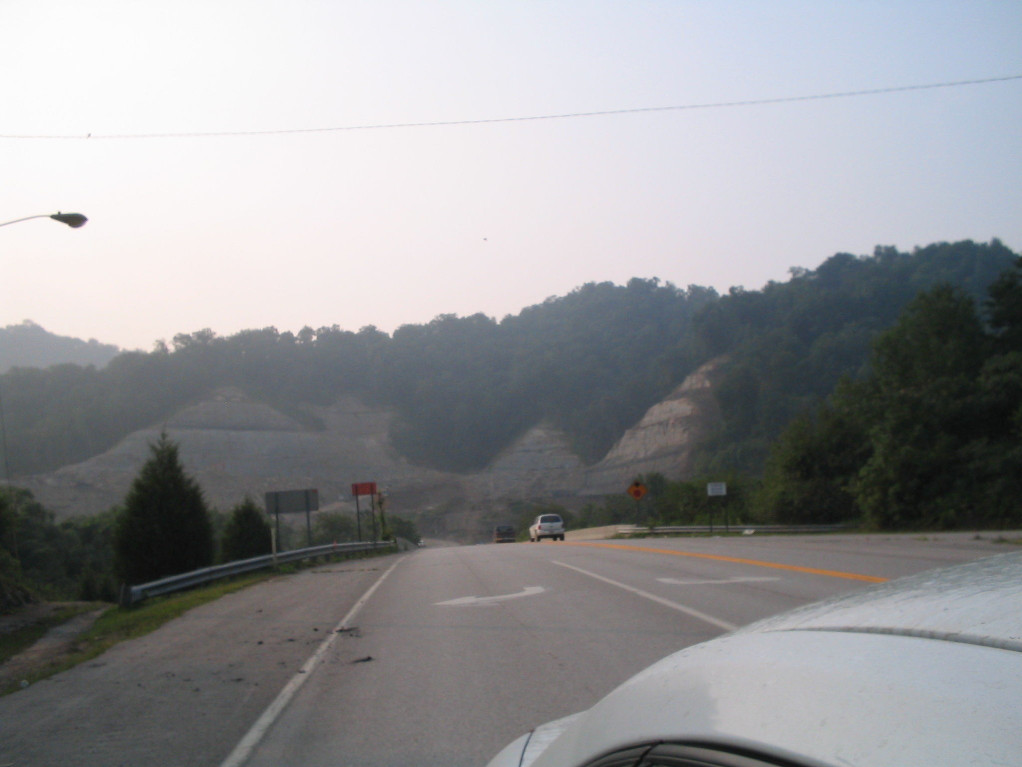
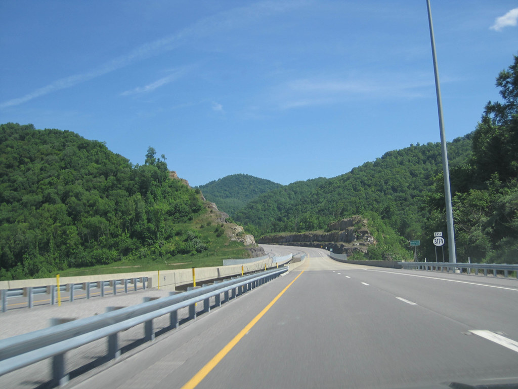
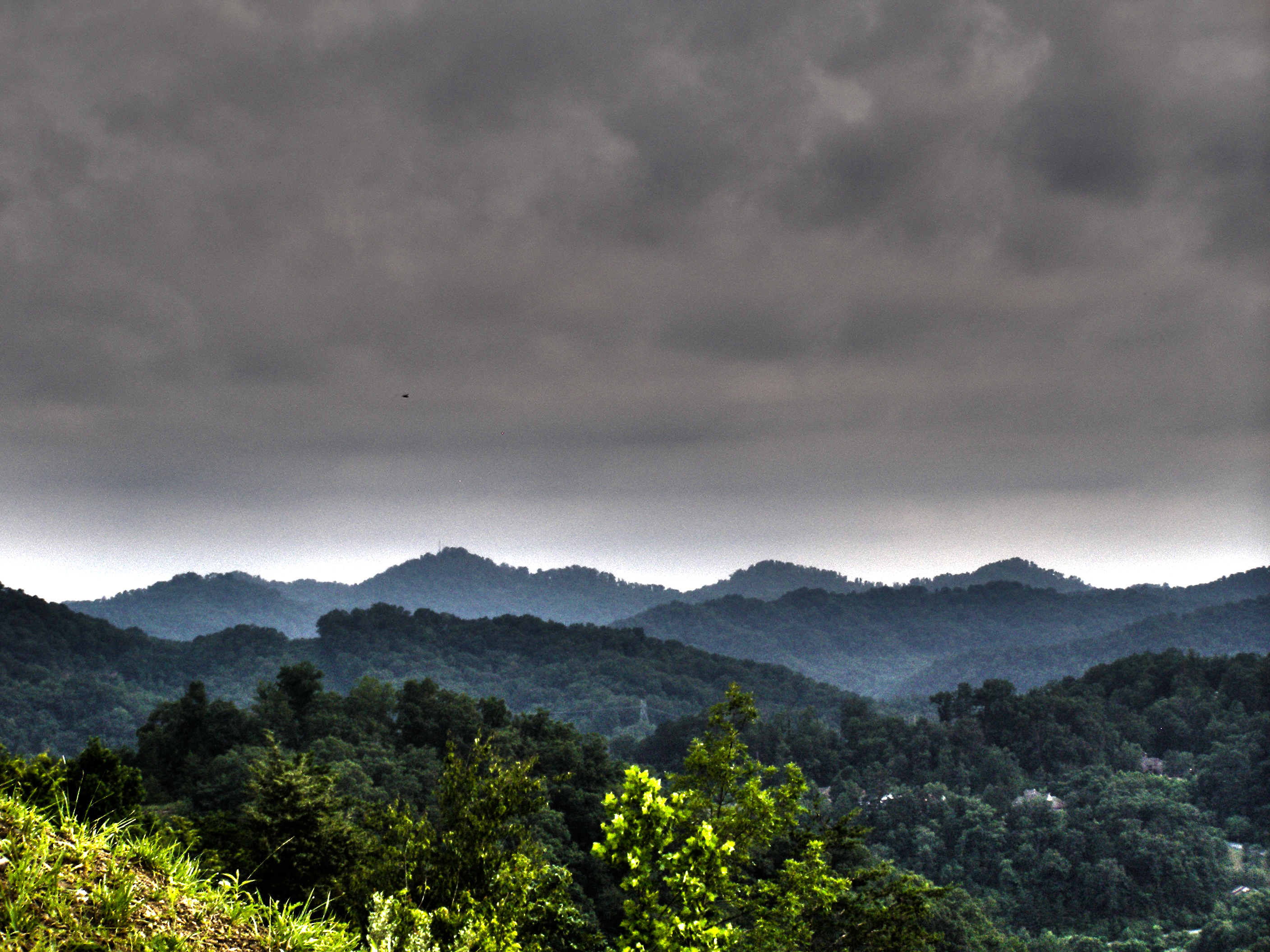
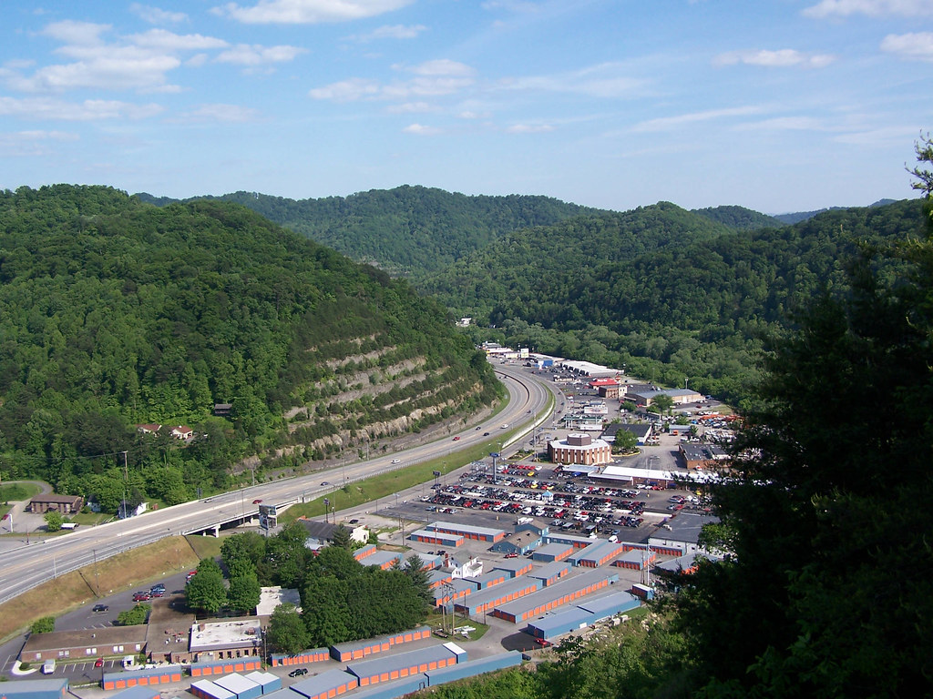
Related Photos:
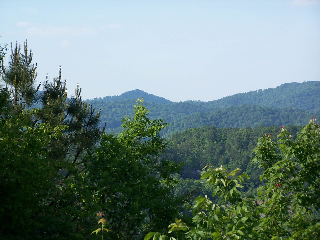
Pikeville, KY

20110712-RD-LSC-0224

DND365 19

Butterfly Dreams

Pauley Bridge

Kentucky 2009 - 40

Sunday Morning Coal Train
20110712-RD-LSC-0214

20110712RD-LSC-0231
kentucky.
Cemetery Road
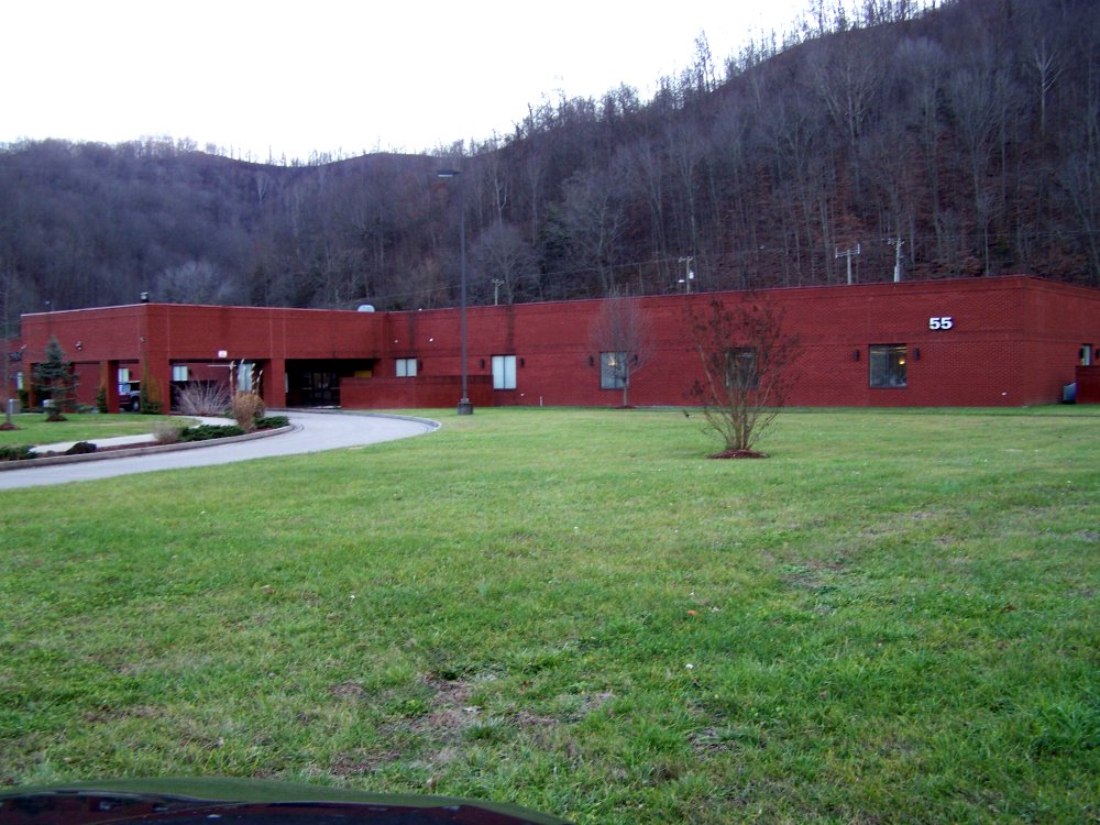
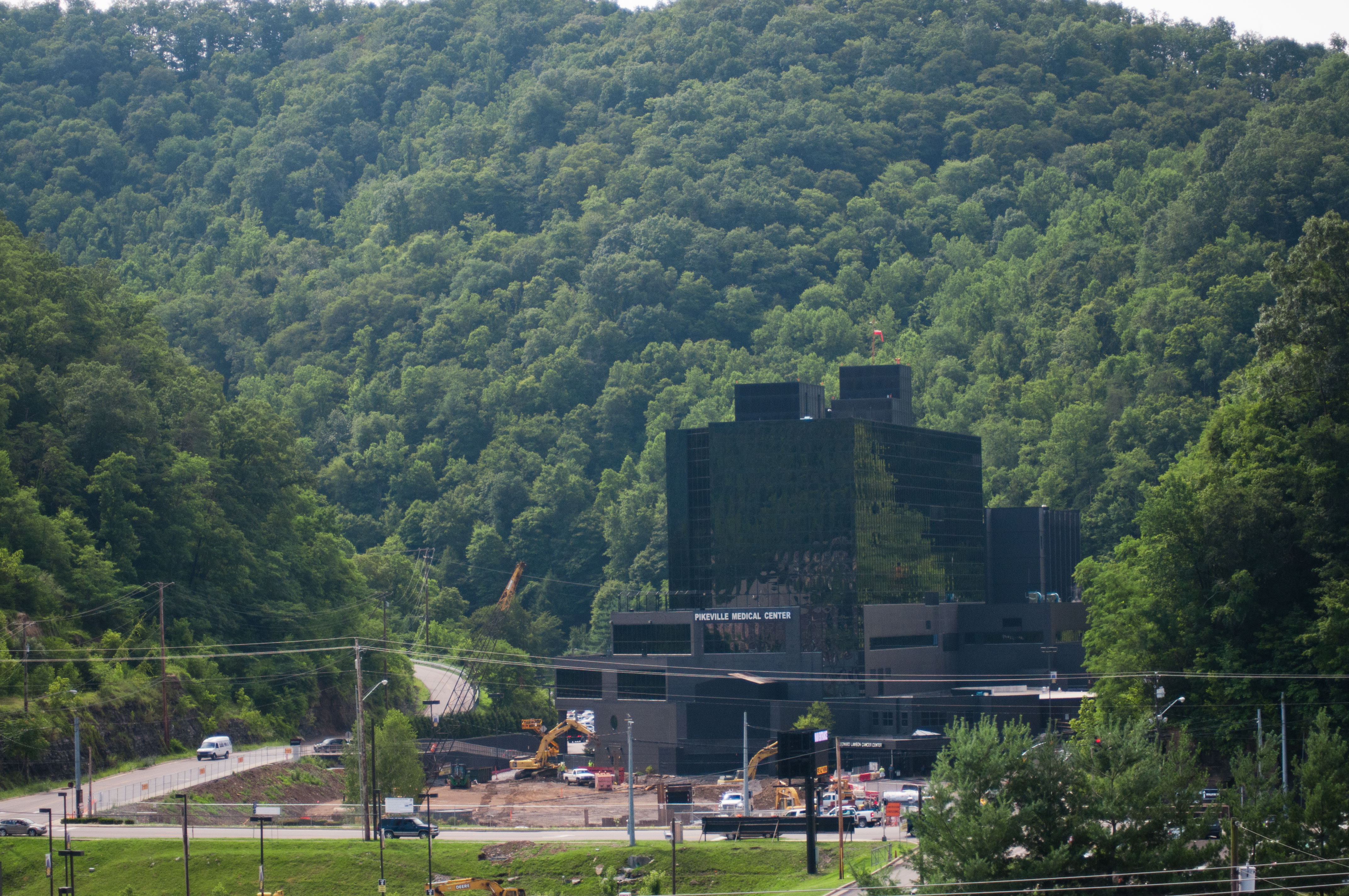
ACS Building Pikeville KY 1
US 23/US 460 Future Interchange
Youthworks 2005 065
US 23/US 460 Future Interchange
Youthworks 2005 066
US 460 in Pike County, KY

US 460 in Pike County, KY

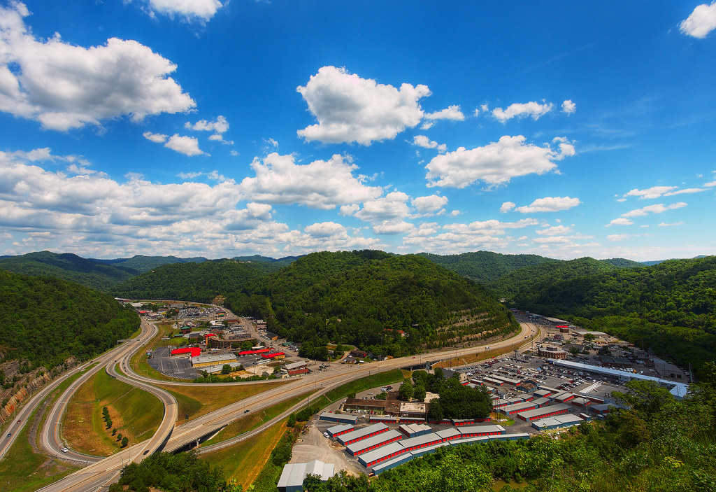
Day 239: Pikeville Cut-Through

Levisa Fork: Big Sandy River
God's Country
Pikeville Cut-Through
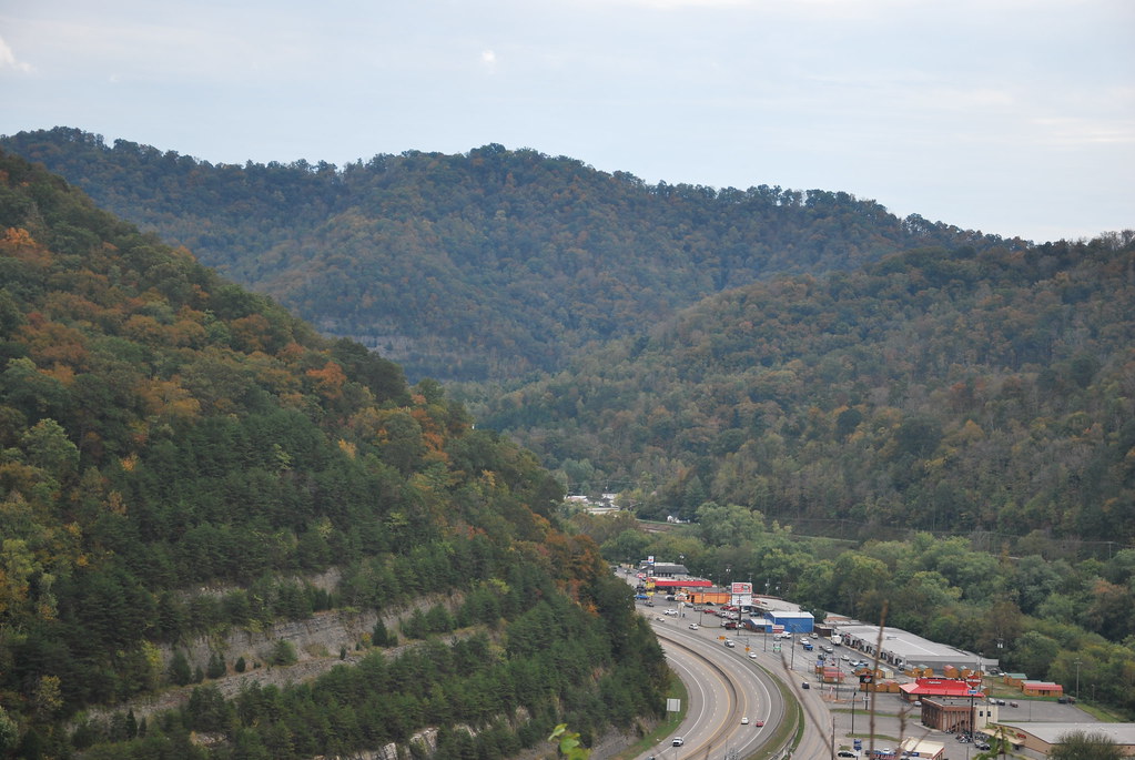
Pikeville Cut-Thru

Pikeville Cut-Thru
Pikeville Cut-Through

Pikeville Cut-Through
Topographic Map of Grethel, KY, USA
Find elevation by address:

Places in Grethel, KY, USA:
Places near Grethel, KY, USA:
KY-, Grethel, KY, USA
KY-, McDowell, KY, USA
Mcdowell
Ivel
US-23, Ivel, KY, USA
Printer
KY-, Printer, KY, USA
River Bottom Rd, Martin, KY, USA
KY-, Martin, KY, USA
Martin
Dinwood Rd, Martin, KY, USA
KY-, Allen City, KY, USA
Floyd County
Allen City
Allen-banner Road
Allen-banner Road
Eastern
KY-, Eastern, KY, USA
Wayland
KY-7, Wayland, KY, USA
Recent Searches:
- Elevation of Steadfast Ct, Daphne, AL, USA
- Elevation of Lagasgasan, X+CQH, Tiaong, Quezon, Philippines
- Elevation of Rojo Ct, Atascadero, CA, USA
- Elevation of Flagstaff Drive, Flagstaff Dr, North Carolina, USA
- Elevation of Avery Ln, Lakeland, FL, USA
- Elevation of Woolwine, VA, USA
- Elevation of Lumagwas Diversified Farmers Multi-Purpose Cooperative, Lumagwas, Adtuyon, RV32+MH7, Pangantucan, Bukidnon, Philippines
- Elevation of Homestead Ridge, New Braunfels, TX, USA
- Elevation of Orchard Road, Orchard Rd, Marlborough, NY, USA
- Elevation of 12 Hutchinson Woods Dr, Fletcher, NC, USA