Elevation of Airport Road, Airport Rd, Debord, KY, USA
Location: United States > Kentucky > Debord >
Longitude: -82.654068
Latitude: 37.761748
Elevation: 371m / 1217feet
Barometric Pressure: 97KPa
Elevation Map:
Satellite Map:
Related Photos:

IMG_9591_2_3_tonemapped_2-Edit.jpg

IMG_1477_8_9_tonemapped-Edit.jpg
get lazy

Swainson's Warbler (Limnothlypis swainsonii)

Fall at Dewey Lake

Cypress in Fall
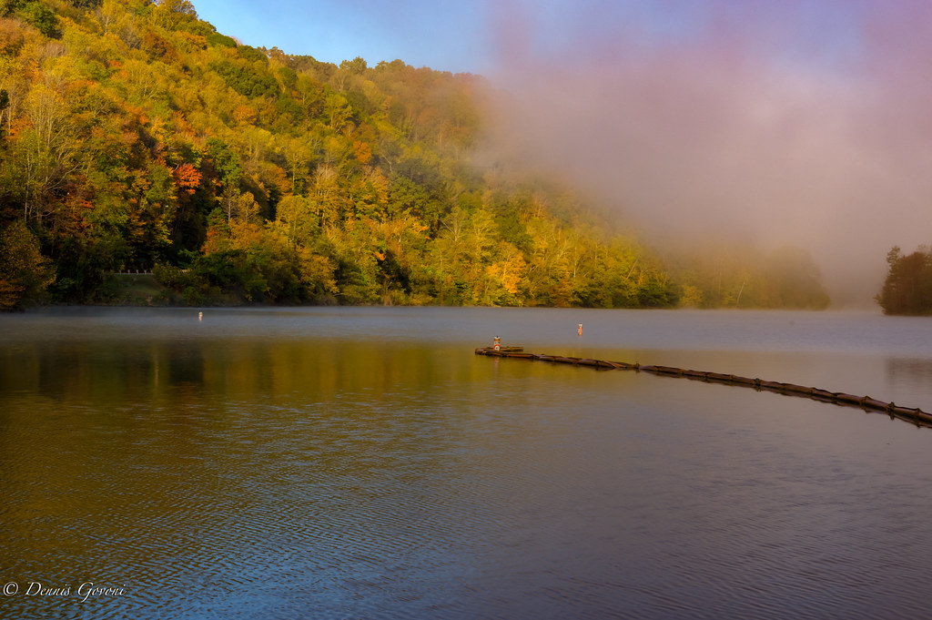
Marina Colors and Fog
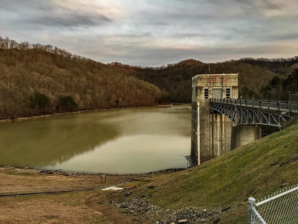
Dewey Dam

Bald Cypresses

_DSC4276.jpg

an inside job

_DSC4010.jpg

_DSC3862.jpg

_DSC1220.jpg

_DSC1298.jpg

_DSC3337.jpg

_DSC1223.jpg
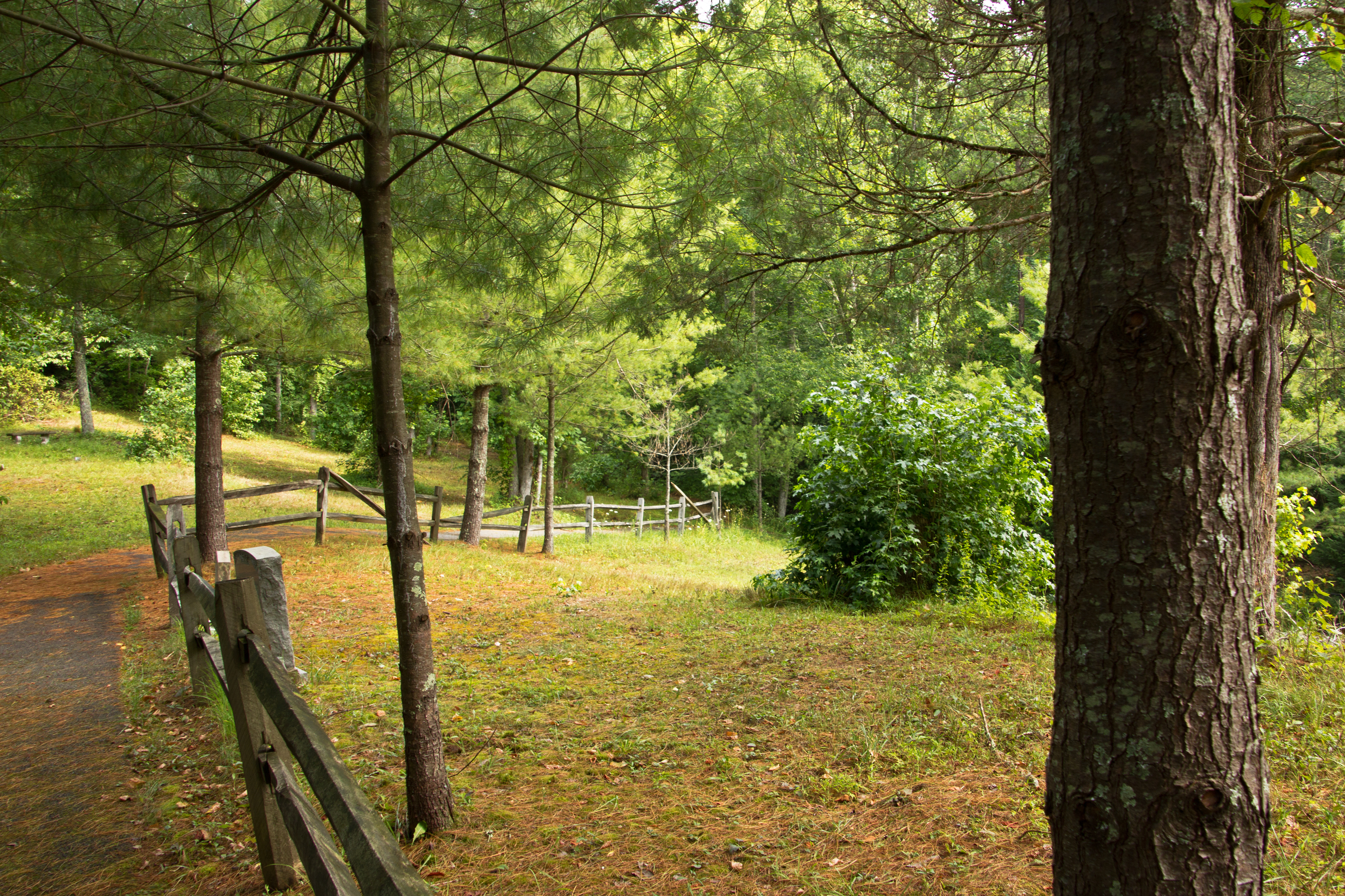
Path to Jenny Wiley's Grave Site

Remnants: Path to Jenny Wiley's Grave Site

Mountain Sunrise

Butcher Hollow

Marina 2
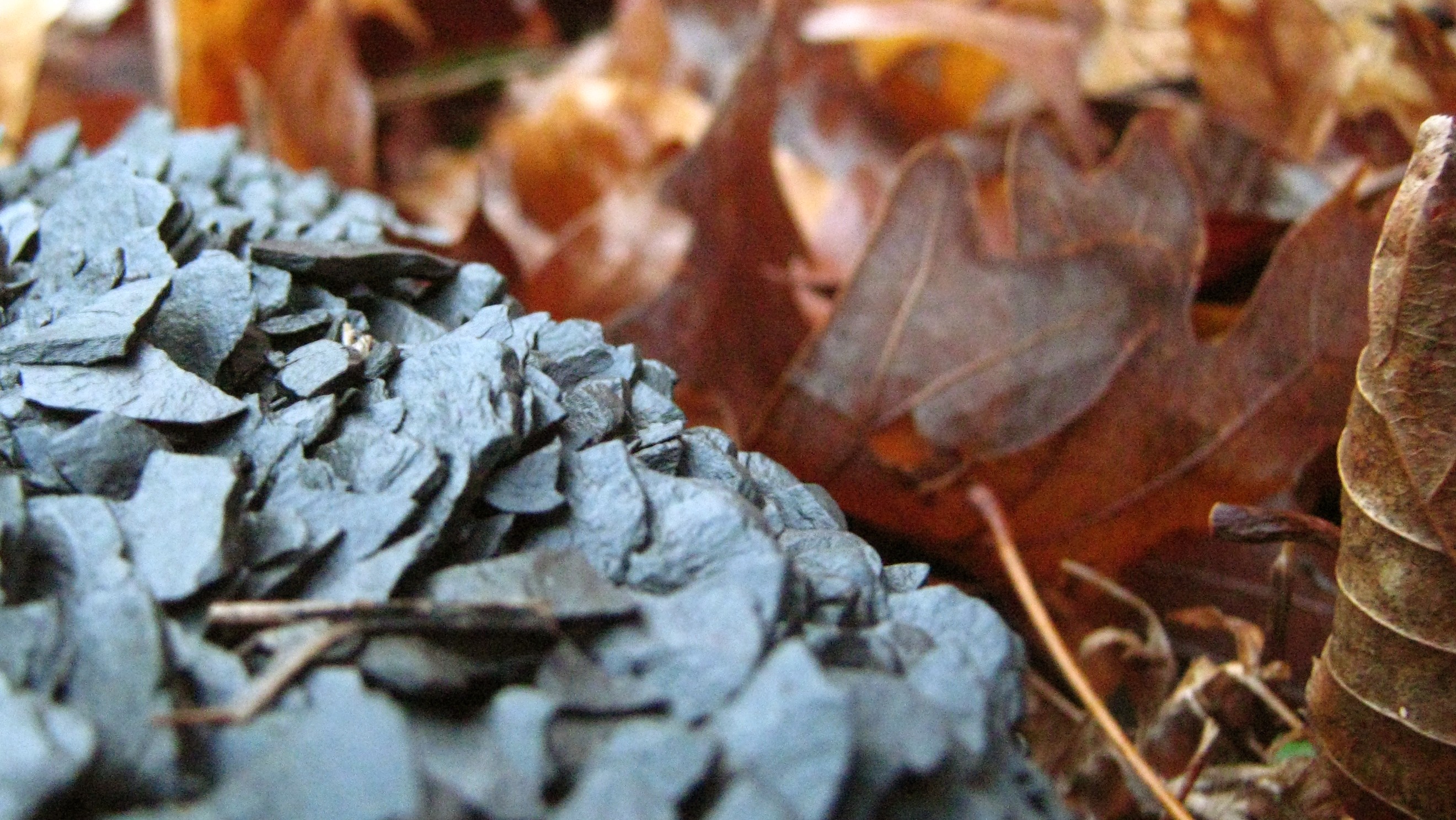
coal leaves
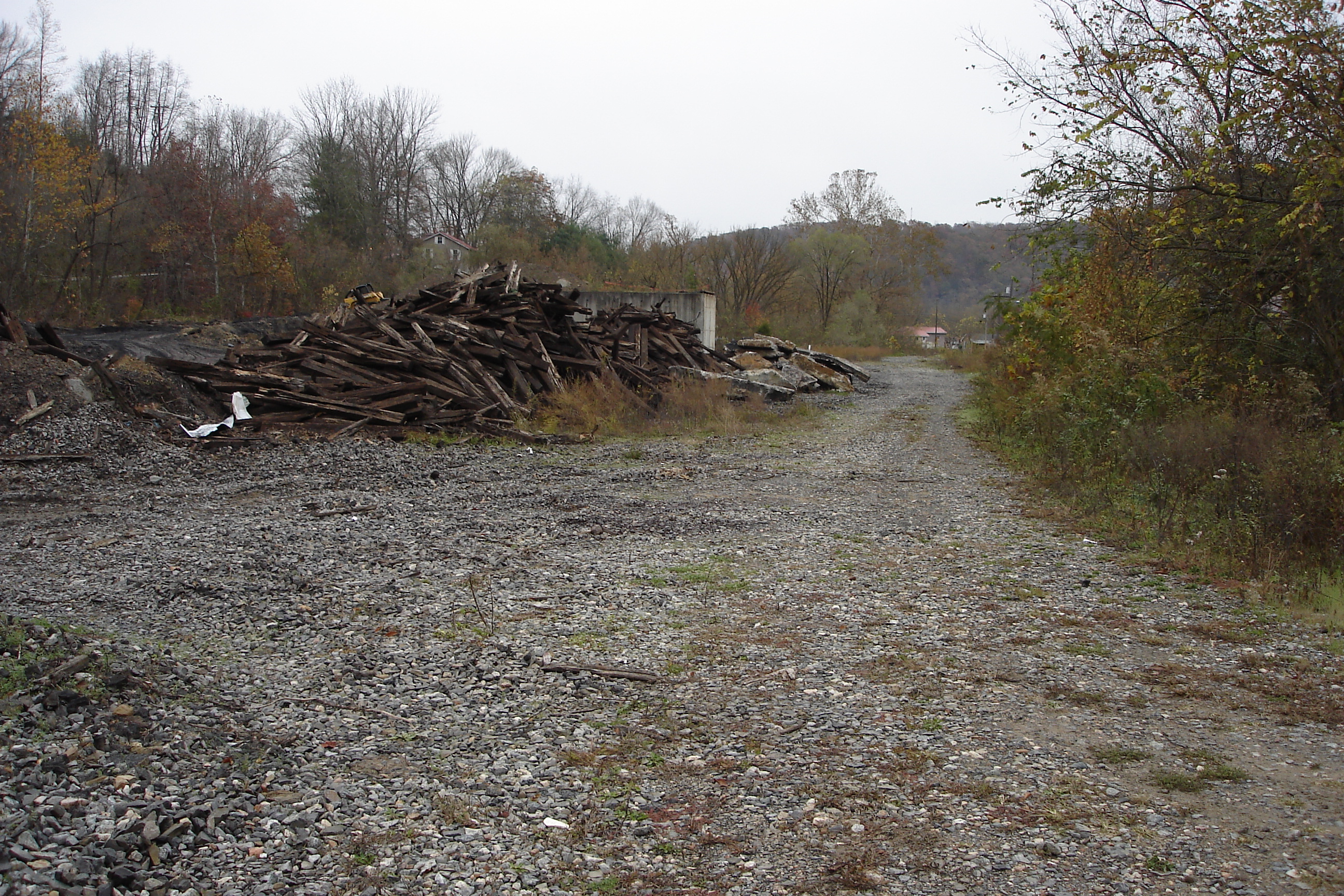
Dawkins Line MP 0.4 - Hagerhill - DSC00942
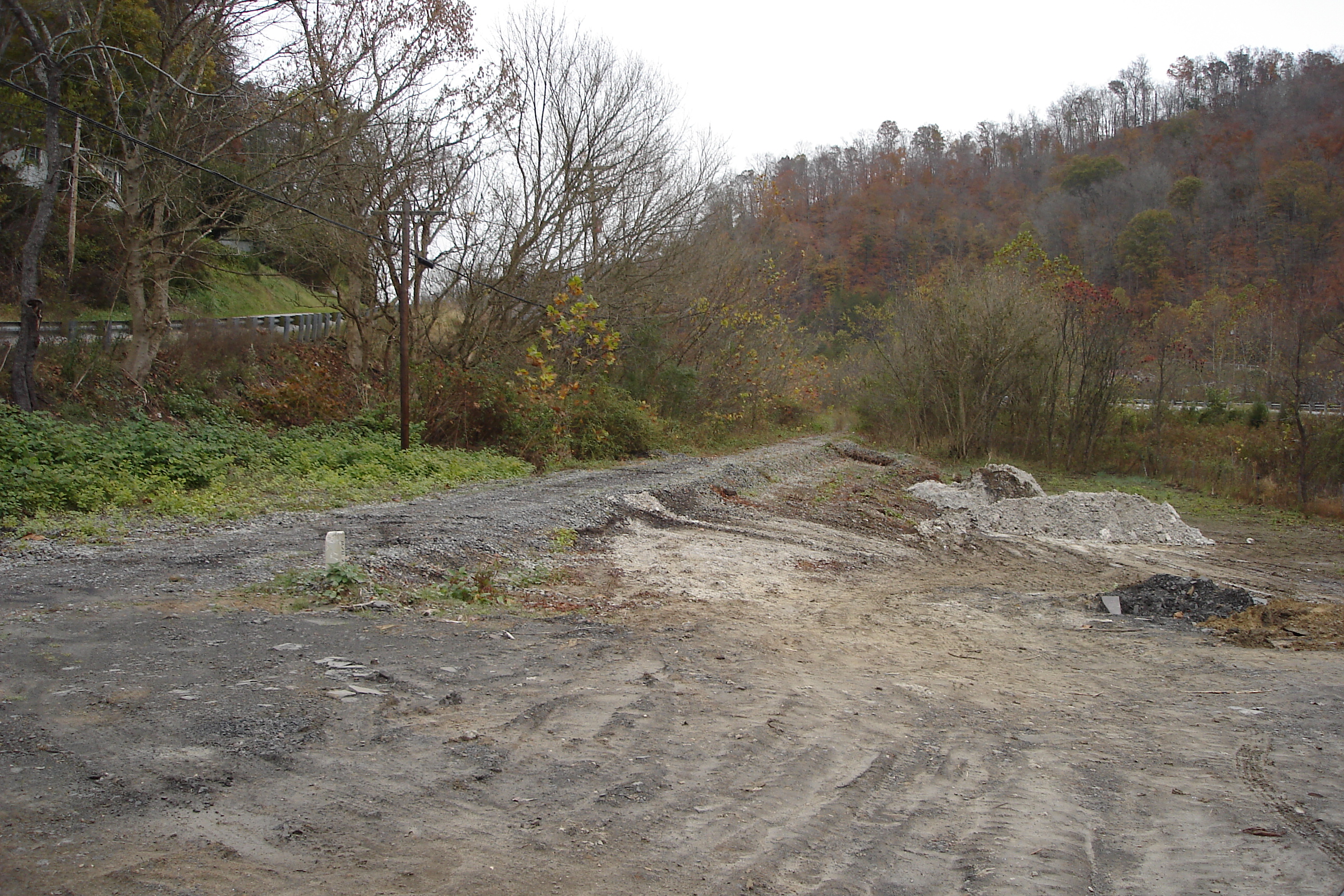
Dawkins Line MP 2.4 - Collista - DSC00944
Topographic Map of Airport Road, Airport Rd, Debord, KY, USA
Find elevation by address:

Places near Airport Road, Airport Rd, Debord, KY, USA:
Usp Big Sandy
Debord, KY, USA
Loretta Lynn Homeplace
German Bridge Campground
Jenny Wiley State Park Road
Webb Hollow Rd, Van Lear, KY, USA
Debord
S Lake Dr, Prestonsburg, KY, USA
Thelma
80 Riverdale Dr, Thelma, KY, USA
N Dawkins Ave, Hagerhill, KY, USA
32 R B Dr, Prestonsburg, KY, USA
Martin County
696 Mays Branch Rd
Tutor Key
Hagerhill
Tutor Key Rd, Tutor Key, KY, USA
Lyons Ave, Paintsville, KY, USA
222 Lost Creek Rd
Prestonsburg
Recent Searches:
- Elevation of Elwyn Dr, Roanoke Rapids, NC, USA
- Elevation of Congressional Dr, Stevensville, MD, USA
- Elevation of Bellview Rd, McLean, VA, USA
- Elevation of Stage Island Rd, Chatham, MA, USA
- Elevation of Shibuya Scramble Crossing, 21 Udagawacho, Shibuya City, Tokyo -, Japan
- Elevation of Jadagoniai, Kaunas District Municipality, Lithuania
- Elevation of Pagonija rock, Kranto 7-oji g. 8"N, Kaunas, Lithuania
- Elevation of Co Rd 87, Jamestown, CO, USA
- Elevation of Tenjo, Cundinamarca, Colombia
- Elevation of Côte-des-Neiges, Montreal, QC H4A 3J6, Canada