Elevation of Debord, KY, USA
Location: United States > Kentucky >
Longitude: -82.551263
Latitude: 37.8264842
Elevation: 207m / 679feet
Barometric Pressure: 99KPa
Elevation Map:
Satellite Map:
Related Photos:
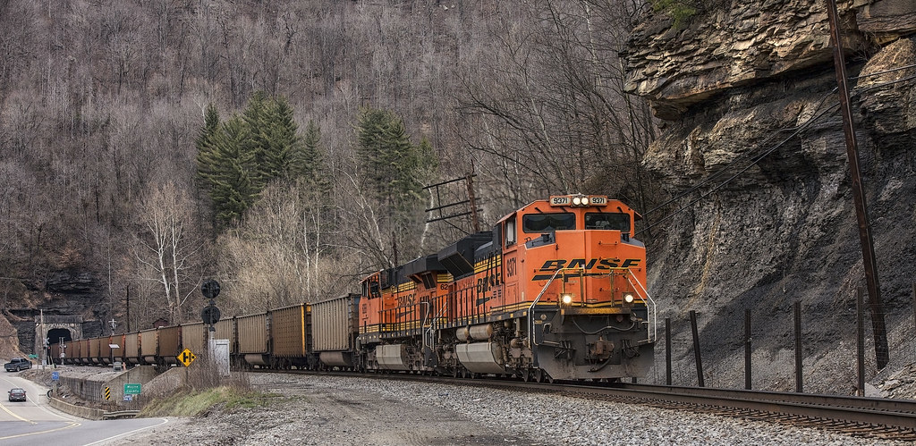
BNSF in catfish country
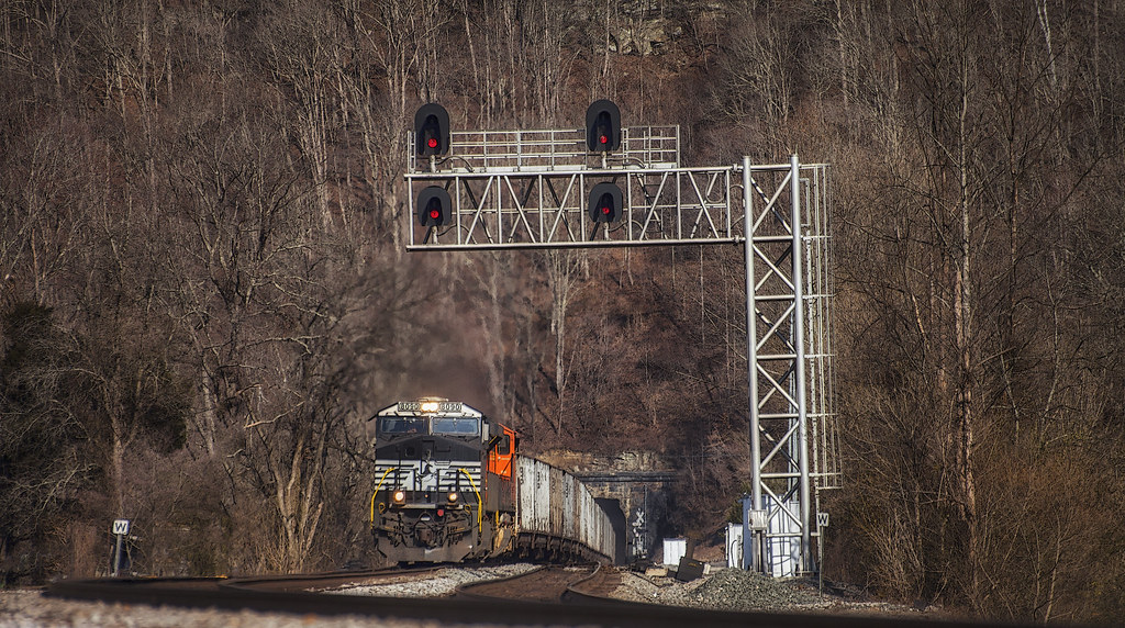
Long view to a short tunnel

_DSC4276.jpg

_DSC4010.jpg

_DSC3862.jpg

_DSC1220.jpg

_DSC1298.jpg

_DSC3337.jpg

_DSC1223.jpg
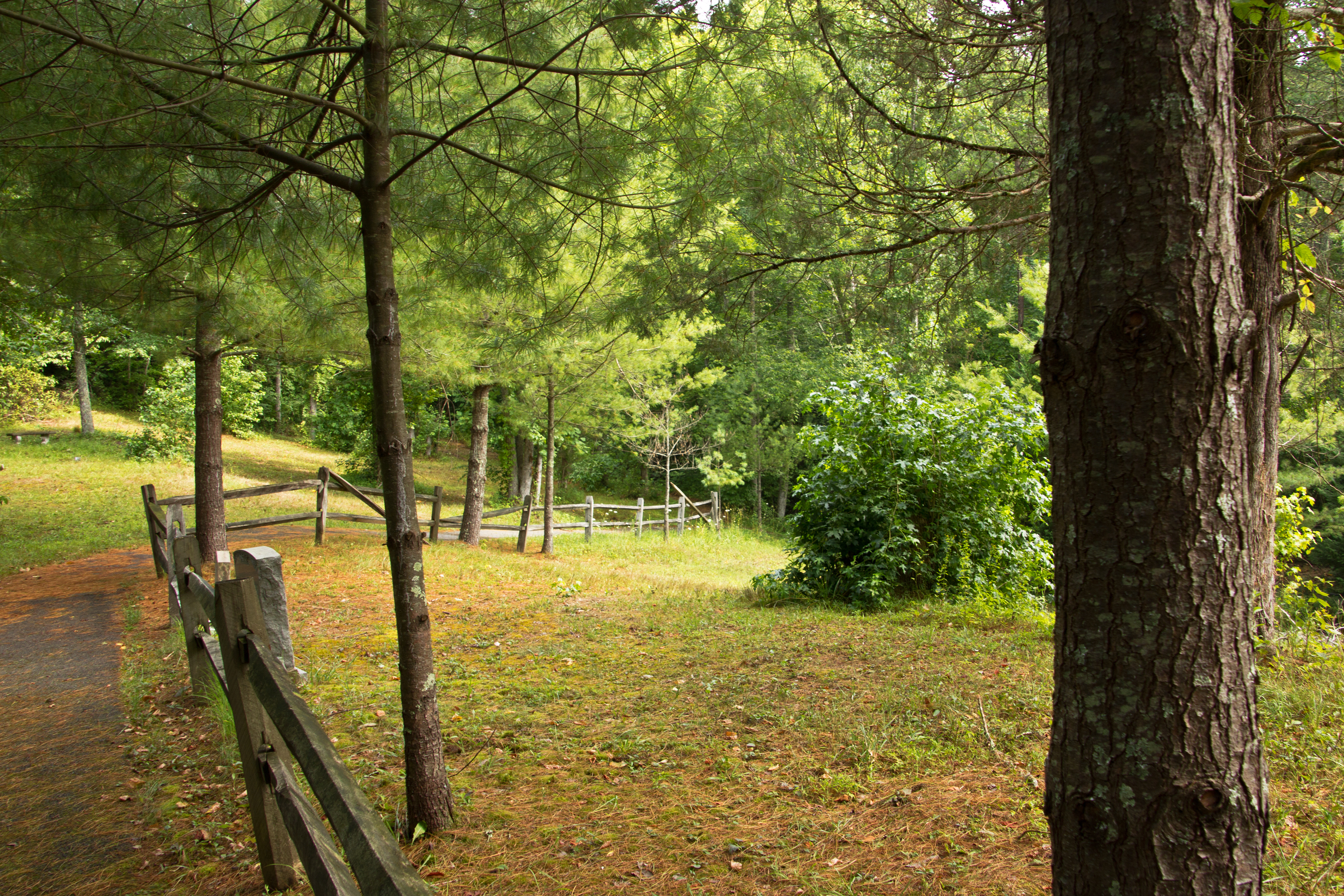
Path to Jenny Wiley's Grave Site

Remnants: Path to Jenny Wiley's Grave Site

Butcher Hollow

Reunion_2007 158
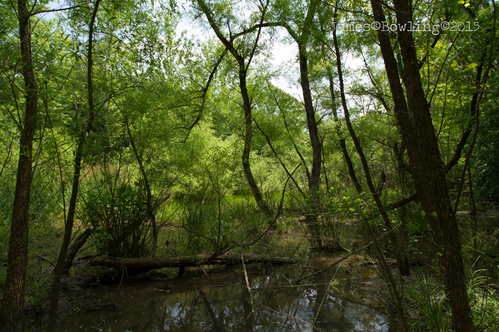
Shade Ward Hollow Wetland

Kentucky Sunrise

Wild and Wonderful; WV
Loretta's Birthplace
Topographic Map of Debord, KY, USA
Find elevation by address:

Places in Debord, KY, USA:
Places near Debord, KY, USA:
32 Main St, Inez, KY, USA
Inez
Martin County
899 Lick Branch Of Rockcastle Crek Rd
Debord, KY, USA
Usp Big Sandy
Tug River Road
Airport Road
Pilgrim
State Hwy, Pilgrim, KY, USA
Highway 1690
Kermit
Webb Street
Stonecoal
Lovely
222 Lost Creek Rd
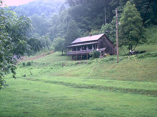
Loretta Lynn Homeplace
Lost Creek Road
680 Lost Creek Rd
673 Lost Creek Rd
Recent Searches:
- Elevation of Woolwine, VA, USA
- Elevation of Lumagwas Diversified Farmers Multi-Purpose Cooperative, Lumagwas, Adtuyon, RV32+MH7, Pangantucan, Bukidnon, Philippines
- Elevation of Homestead Ridge, New Braunfels, TX, USA
- Elevation of Orchard Road, Orchard Rd, Marlborough, NY, USA
- Elevation of 12 Hutchinson Woods Dr, Fletcher, NC, USA
- Elevation of Holloway Ave, San Francisco, CA, USA
- Elevation of Norfolk, NY, USA
- Elevation of - San Marcos Pass Rd, Santa Barbara, CA, USA
- Elevation of th Pl SE, Issaquah, WA, USA
- Elevation of 82- D Rd, Captain Cook, HI, USA