Elevation of Allen-Banner Road, Allen-Banner Rd, Allen City, KY, USA
Location: United States > Kentucky > Floyd County > Allen City >
Longitude: -82.727188
Latitude: 37.6110146
Elevation: 209m / 686feet
Barometric Pressure: 99KPa
Elevation Map:
Satellite Map:
Related Photos:

IMG_1477_8_9_tonemapped-Edit.jpg

Fall at Dewey Lake

CSX @ Allen, KY.

Marina Colors and Fog

Dewey Lake Reflection

Bald Cypresses

an inside job

Cypress in Fall
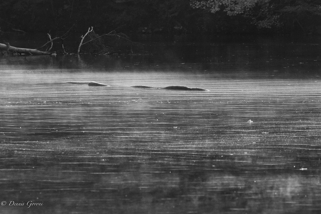
Loch Dewey Monster

ACS Building Pikeville KY 1

010-b

Mountain Sunrise

Marina 2
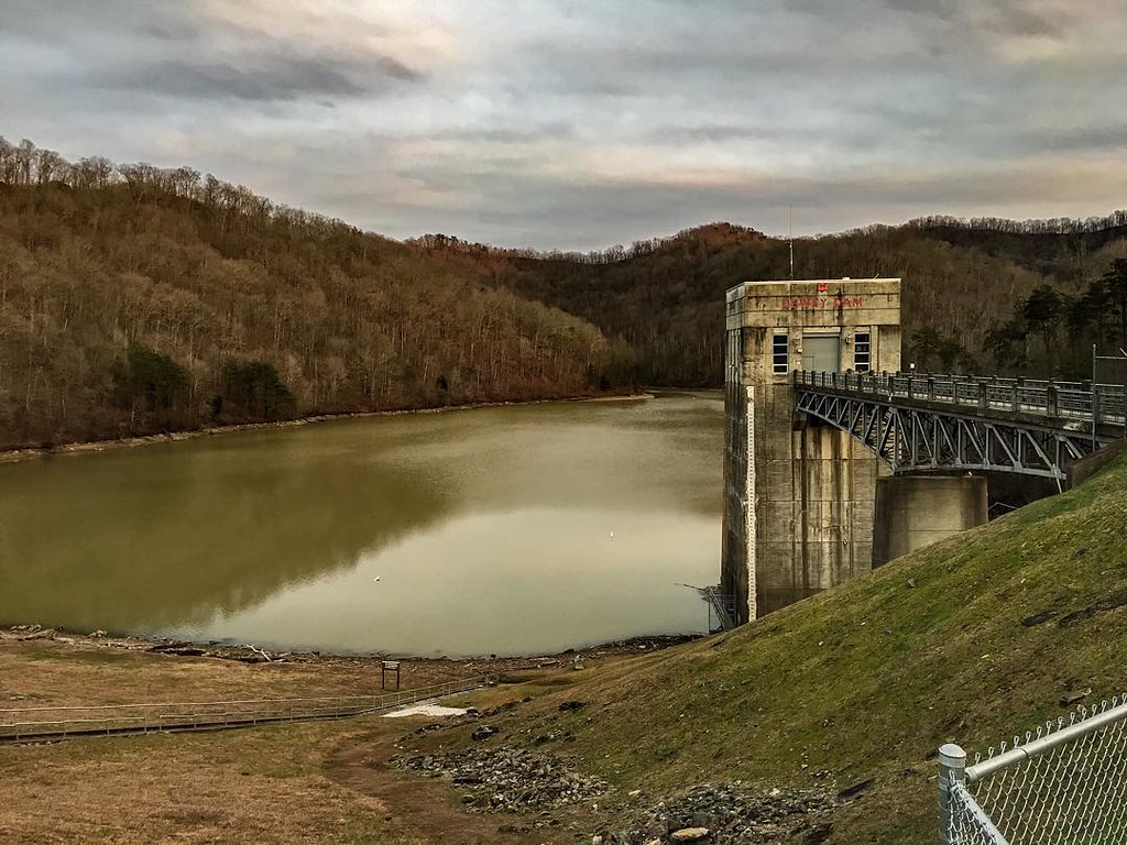
Dewey Dam

Youthworks 2005 066

Youthworks 2005 065

Battle of Middle Creek

kentucky.
Topographic Map of Allen-Banner Road, Allen-Banner Rd, Allen City, KY, USA
Find elevation by address:

Places near Allen-Banner Road, Allen-Banner Rd, Allen City, KY, USA:
Allen-banner Road
Allen City
KY-, Allen City, KY, USA
River Bottom Rd, Martin, KY, USA
Martin
US-23, Ivel, KY, USA
KY-, Martin, KY, USA
Dinwood Rd, Martin, KY, USA
Ivel
Floyd County
Printer
KY-, Printer, KY, USA
Caney Fork Rd, Martin, KY, USA
164 Cloverfield Branch
Eastern
KY-, Eastern, KY, USA
State Hwy, David, KY, USA
Grethel
KY-, David, KY, USA
KY-, Grethel, KY, USA
Recent Searches:
- Elevation of Lampiasi St, Sarasota, FL, USA
- Elevation of Elwyn Dr, Roanoke Rapids, NC, USA
- Elevation of Congressional Dr, Stevensville, MD, USA
- Elevation of Bellview Rd, McLean, VA, USA
- Elevation of Stage Island Rd, Chatham, MA, USA
- Elevation of Shibuya Scramble Crossing, 21 Udagawacho, Shibuya City, Tokyo -, Japan
- Elevation of Jadagoniai, Kaunas District Municipality, Lithuania
- Elevation of Pagonija rock, Kranto 7-oji g. 8"N, Kaunas, Lithuania
- Elevation of Co Rd 87, Jamestown, CO, USA
- Elevation of Tenjo, Cundinamarca, Colombia