Elevation of 20 Rainbow Rd, Hanover, NM, USA
Location: United States > New Mexico > Grant County > San Lorenzo >
Longitude: -107.92558
Latitude: 32.8166981
Elevation: -10000m / -32808feet
Barometric Pressure: 295KPa
Elevation Map:
Satellite Map:
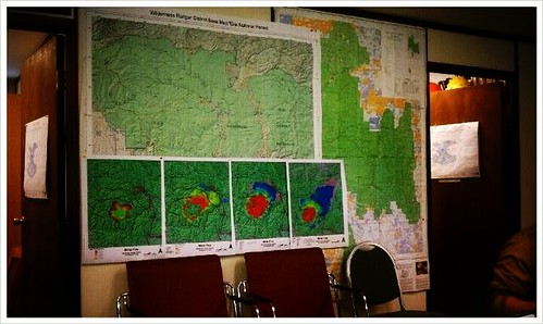
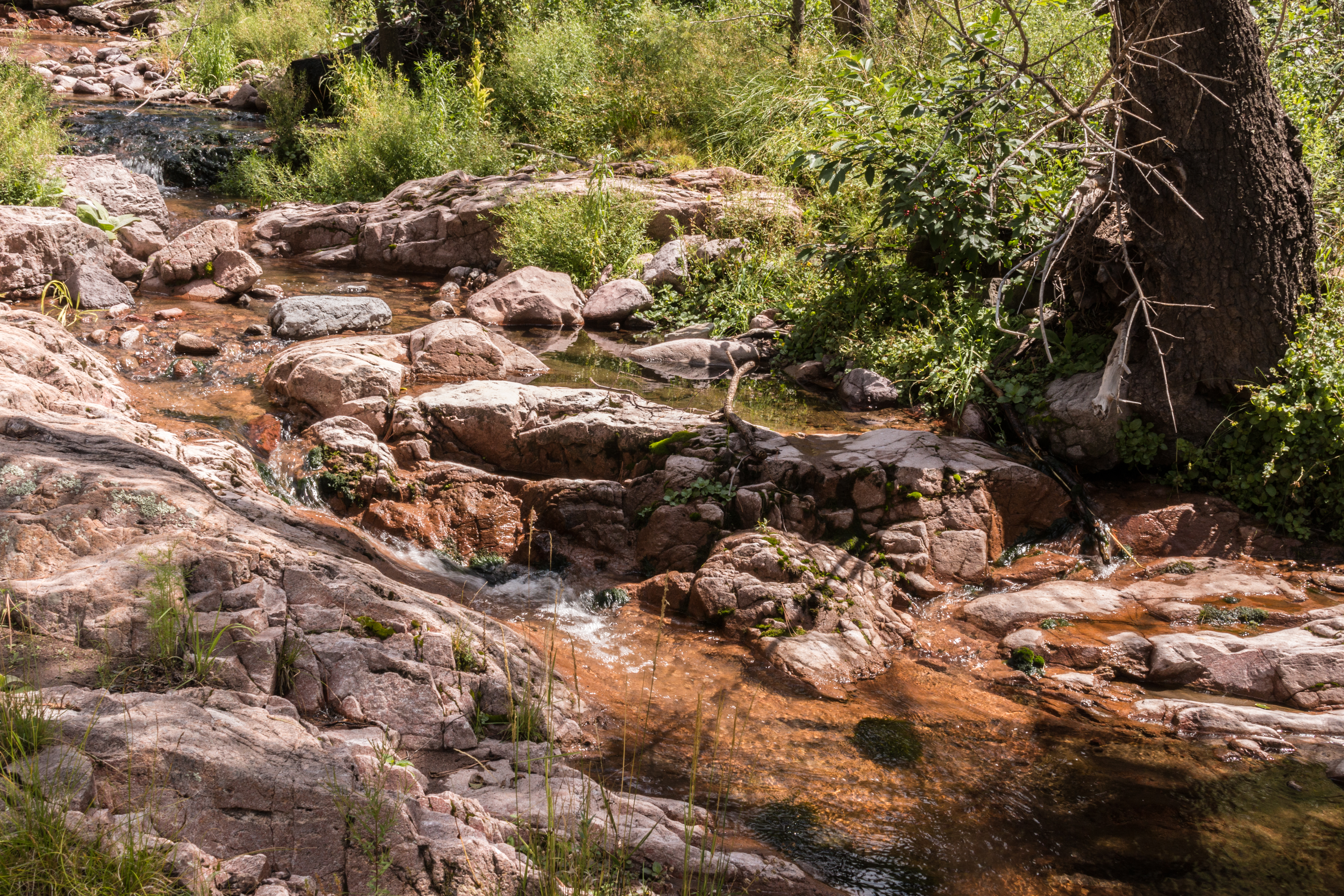
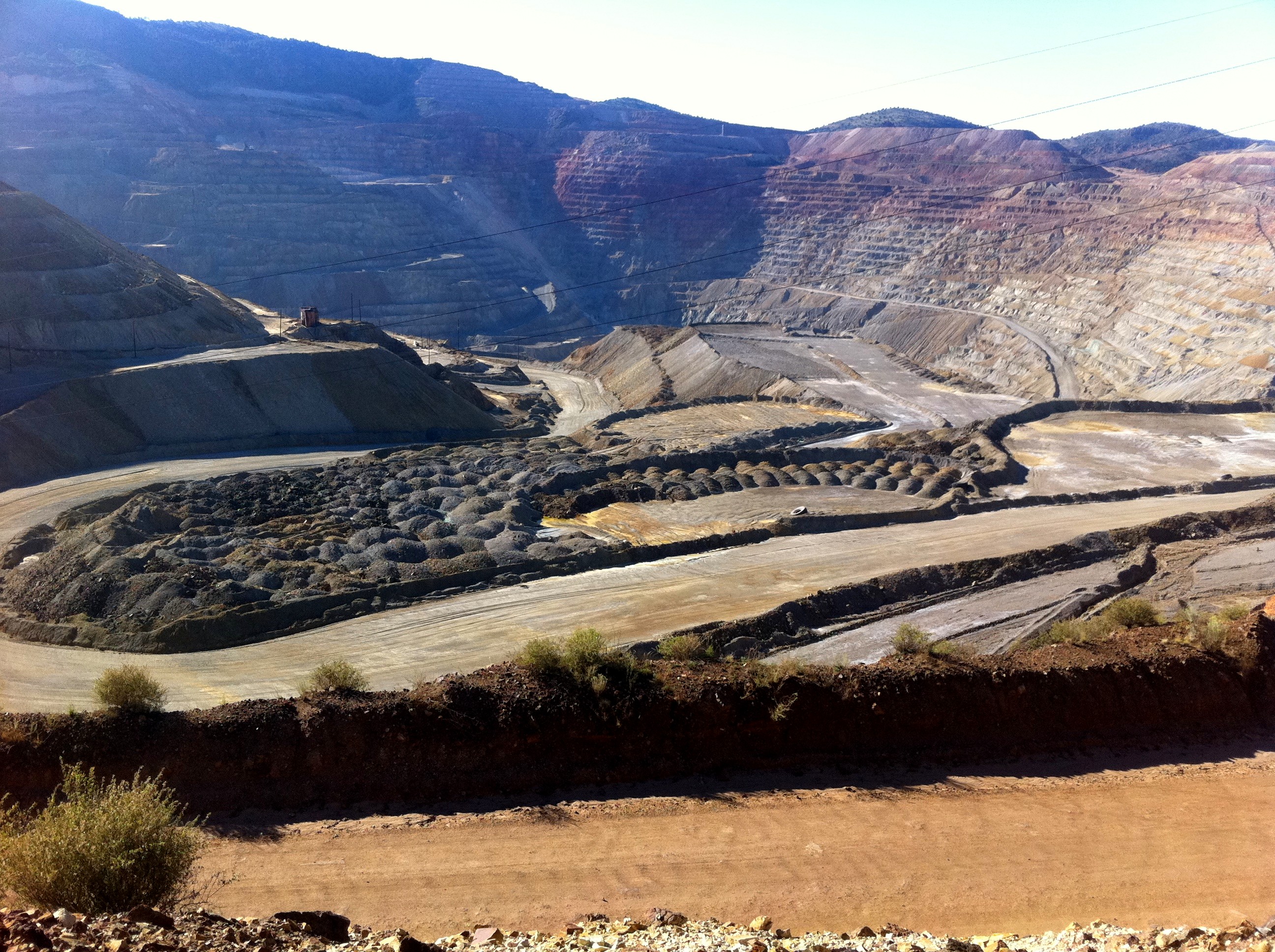
Related Photos:

Santa Rita, NM Chino Mine (# 0809)

San Andres National Wildlife

Silver City, NM 3178a

170721 Santa Rita Mine

Gila National Forest, New Mexico

Chino Copper Mine_MG_1365 Panorama

View from the top of the driveway to Funky Butte Ranch

View from the Funky Butte driveway
My current point of view. #nmfire

A Mimbres Afternoon

Offroad Gate

Chino Mine

15yo Dead Wife in Georgetown Cemetery, New Mexico

Santa Rita Mine (Grant County, New Mexico)

Santa Rita Mine (Grant County, New Mexico)

Kingston-Gila trip Labor Day 2015-1436-HDR

For Mother

DSC_1544a.jpg
Railroad Canyon Gila hike-0906

Kingston-Gila trip Labor Day 2015-1459-HDR

Railroad Canyon Gila hike-0861
Santa Rita copper mine

49 Santa Rita mine

Santa Rita Copper Mine

Willy on a steep climb coming out of Silver City

NM-152 East at NM-35 Jct.

Railroad Canyon Gila hike-0860

Jesus nook
Topographic Map of 20 Rainbow Rd, Hanover, NM, USA
Find elevation by address:

Places near 20 Rainbow Rd, Hanover, NM, USA:
20 Rainbow Rd
San Lorenzo
13 Lost Spring Rd
90 El Otro Lado Rd
90 El Otro Lado Rd
Mimbres
NM-61, Hanover, NM, USA
165 Royal John Mine Rd
Mimbres Peak
Sawyers Peak
Fierro Rd, Hanover, NM, USA
2177 Nm-61
2177 Nm-61
Hanover
Cross-o Mountain
Hillsboro Peak
New Mexico 152
Bayard
Davis St, Bayard, NM, USA
8 Mum St, Hurley, NM, USA
Recent Searches:
- Elevation of SW 57th Ave, Portland, OR, USA
- Elevation of Crocker Dr, Vacaville, CA, USA
- Elevation of Pu Ngaol Community Meeting Hall, HWHM+3X7, Krong Saen Monourom, Cambodia
- Elevation of Royal Ontario Museum, Queens Park, Toronto, ON M5S 2C6, Canada
- Elevation of Groblershoop, South Africa
- Elevation of Power Generation Enterprises | Industrial Diesel Generators, Oak Ave, Canyon Country, CA, USA
- Elevation of Chesaw Rd, Oroville, WA, USA
- Elevation of N, Mt Pleasant, UT, USA
- Elevation of 6 Rue Jules Ferry, Beausoleil, France
- Elevation of Sattva Horizon, 4JC6+G9P, Vinayak Nagar, Kattigenahalli, Bengaluru, Karnataka, India