Elevation of Mimbres Peak, New Mexico, USA
Location: United States > New Mexico > Hanover >
Longitude: -107.93836
Latitude: 32.7048006
Elevation: 2246m / 7369feet
Barometric Pressure: 77KPa
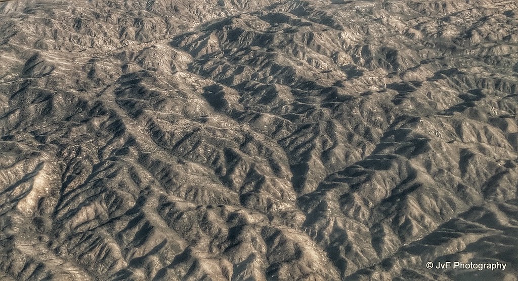
Elevation Map:
Satellite Map:
Related Photos:

Tent camping @ city of rocks state park
San Andres National Wildlife
The Top of City of Rocks

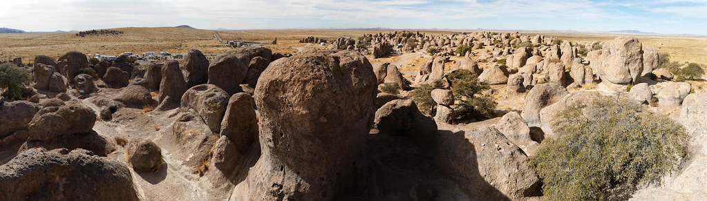
City Of Rocks State Park Panorama
Topographic Map of Mimbres Peak, New Mexico, USA
Find elevation by address:

Places near Mimbres Peak, New Mexico, USA:
13 Lost Spring Rd
90 El Otro Lado Rd
90 El Otro Lado Rd
Mimbres
Hanover
Fierro Rd, Hanover, NM, USA
Hurley
Hurley
Hurley
8 Mum St, Hurley, NM, USA
Bayard
Davis St, Bayard, NM, USA
Santa Clara
Arenas Valley Rd, Arenas Valley, NM, USA
13 Elias Rd
29 Logan St
Rosedale Road
Pinos Altos
2040 Memory Ln
1810 Ridge Rd
Recent Searches:
- Elevation of Corso Fratelli Cairoli, 35, Macerata MC, Italy
- Elevation of Tallevast Rd, Sarasota, FL, USA
- Elevation of 4th St E, Sonoma, CA, USA
- Elevation of Black Hollow Rd, Pennsdale, PA, USA
- Elevation of Oakland Ave, Williamsport, PA, USA
- Elevation of Pedrógão Grande, Portugal
- Elevation of Klee Dr, Martinsburg, WV, USA
- Elevation of Via Roma, Pieranica CR, Italy
- Elevation of Tavkvetili Mountain, Georgia
- Elevation of Hartfords Bluff Cir, Mt Pleasant, SC, USA