Elevation of Hanover, NM, USA

Location: United States > New Mexico >

Longitude: -108.09115

Latitude: 32.8134085

Elevation: 1939m / 6362feet

Barometric Pressure: 80KPa

Elevation Map:

elevation map of Hanover, NM, USA

Satellite Map:

Satellite map of Hanover, NM, USA

Related Photos:

above travel blue sky terrain cloud holiday mountains building green window nature field weather plane airplane landscape fly nokia losangeles high airport day ray looking view desert bright earth wildlife aircraft aviation flight wing lakes houston atmosphere sunny aerial hills national airline rivers land layer nm phonecamera airliner stratosphere refuge sanandres birdeye chihuahuandesert lumia1020 nokialumia1020 sanandresnationalwildlife
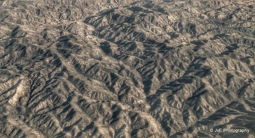
San Andres National Wildlife
canada telescope alberta comet tmb january6 canon6d cometlovejoy c2014q2
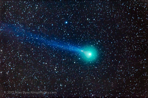
Comet Lovejoy Through a Telescope
shadow newmexico southwest tree history window silhouette architecture fort military historic mining adobe nm sunlit defense pinosaltos adobebricks santaritadelcobrefort
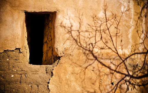
Shadows on the Fort Wall
family vacation 2006 northamericanrailpass
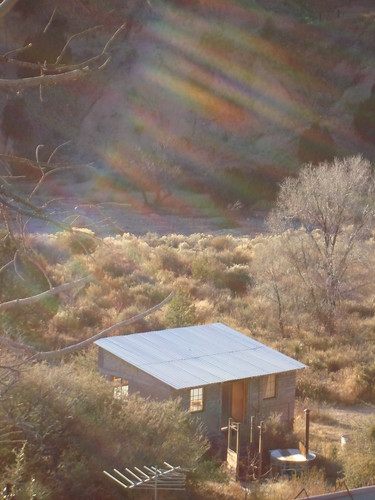
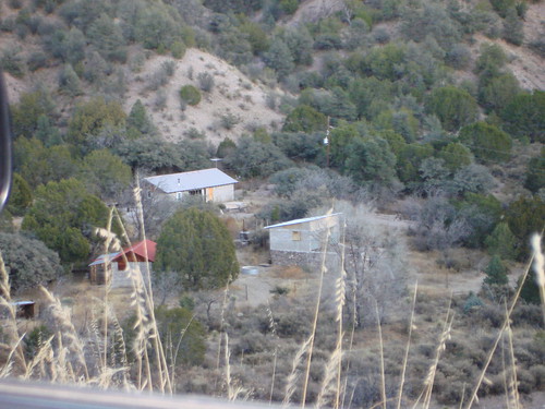
View from the Funky Butte driveway
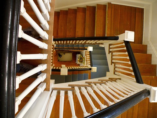
stairwell fortbayard commandantshouse
View from the top
family vacation 2006 northamericanrailpass
View from the top of the driveway to Funky Butte Ranch
newmexico silver mining silvercity gilanationalforest chinomine nmtemp
Silver City, NM 3178a
picplz foursquare:venue=4dbefefafa8cee72738d640e
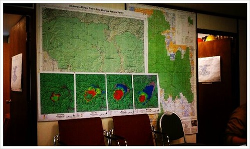
My current point of view. #nmfire
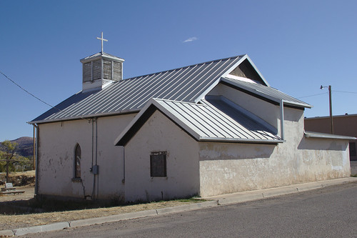
Old Santa Clara Church
newmexico mammal wildlife deer
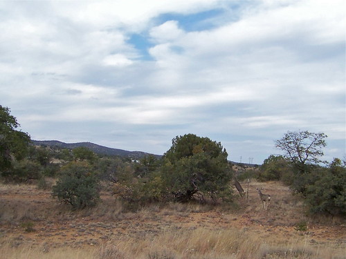
Mule Deer
vacation newmexico flight aerialview aerial airline copper hurley coppermine unitedairlines windowseat opencastmine zeesstof phoenixtohouston
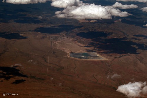
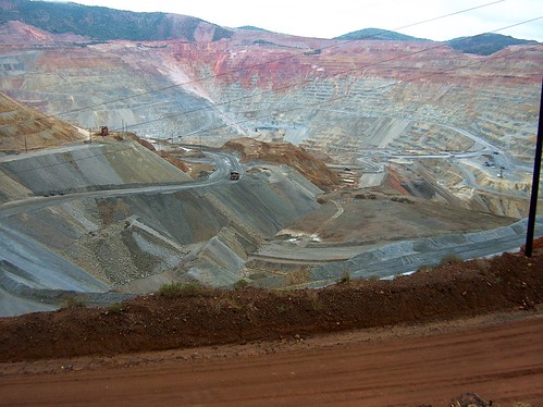
Copper Mine, Hurley, NM
feastofsantaclarafiesta santaclaranm
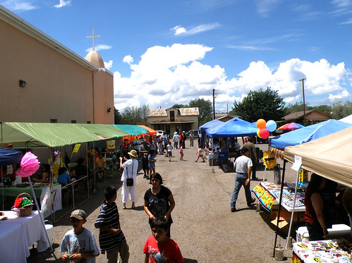
Feast of Saint Clare Fiesta
square squareformat earlybird iphoneography instagramapp uploaded:by=instagram foursquare:venue=4bfaf8d6f214a5935395ae0e
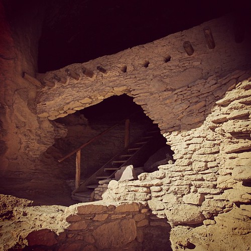
Oldstagram of the entrance to Gila Cliff Dwelling National Monument
nm silvercity gilaregionalmedicalcenter
Gila Regional Medical Center
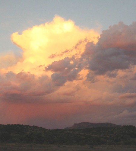
Clouds above the Kneeling Nun as seen from Fort Bayard
new old mexico desert fort bayard
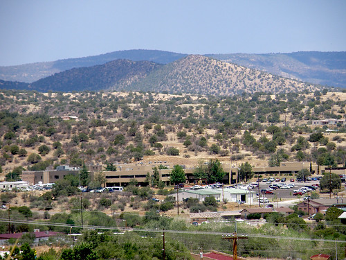
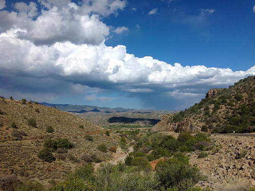
High Desert Vista
nm mimbresvalleymimbres
A Mimbres Afternoon
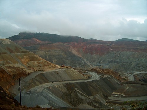
newmexico santaritamine
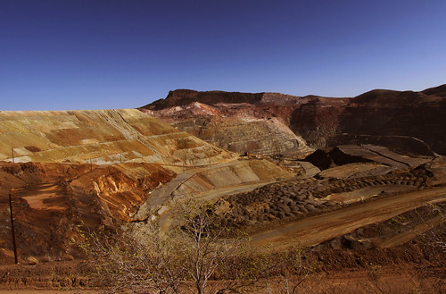
Santa Rita Mine, New Mexico
nm grantcounty
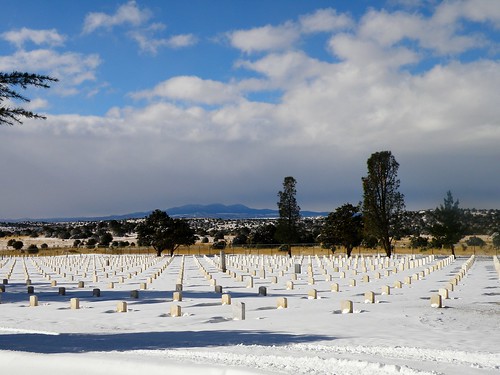
Fort Bayard National Cemetery
newmexico landscapes nm santarita grantcounty santaritamine
Santa Rita Mine (Grant County, New Mexico)
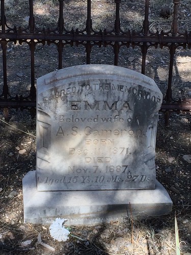
newmexico cemetery gravestone 2014 uploaded:by=flickrmobile flickriosapp:filter=nofilter
15yo Dead Wife in Georgetown Cemetery, New Mexico
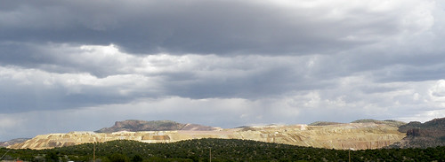
coppermine chinomine grantcountynm
Chino Mine
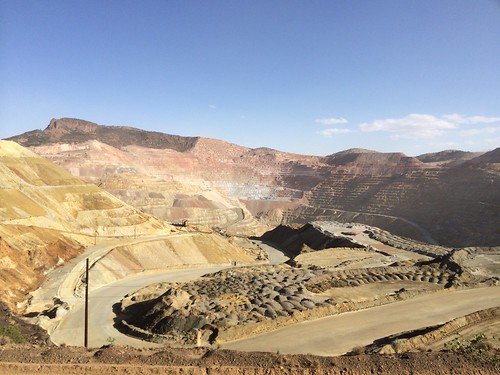
santarita openpitcoppermine santaritanm
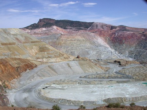
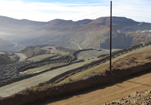
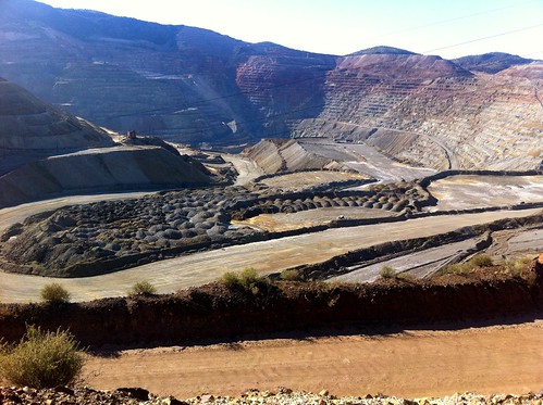
Santa Rita Copper Mine
newmexico mine silvercity 2014 uploaded:by=flickrmobile flickriosapp:filter=nofilter
2014 Phlox Trip to Arizona and New Mexico
Santa Rita copper mine
santarita openpitcoppermine santaritanm
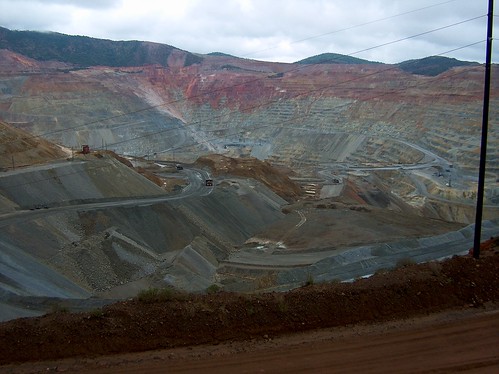
Santa Rita Copper Mine
santarita openpitcoppermine santaritanm
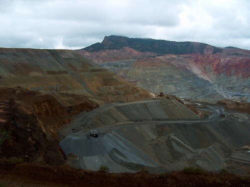
Santa Rita Copper Mine
santarita openpitcoppermine santaritanm
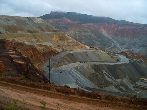
Santa Rita Copper Mine
mountains landscape landschaft 2012 tdr tourdividerace
CDT section 01
santarita openpitcoppermine santaritanm
Santa Rita Copper Mine