Elevation of Sawyers Peak, New Mexico, USA
Location: United States > New Mexico > Hanover >
Longitude: -107.77947
Latitude: 32.8759079
Elevation: 2938m / 9639feet
Barometric Pressure: 71KPa
Elevation Map:
Satellite Map:
Related Photos:
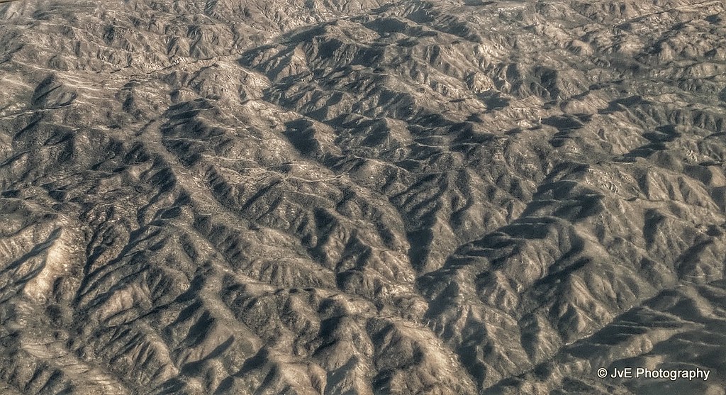
San Andres National Wildlife
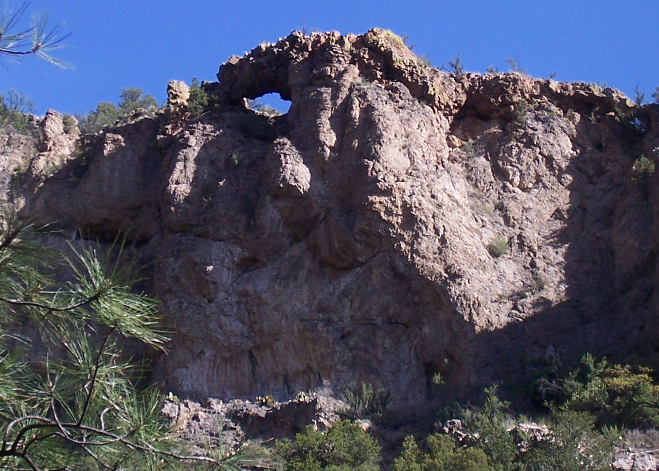
New Mexico Natural Arch NM-352 Mineral Canyon Arch
Walkabout | Intermission
High Again
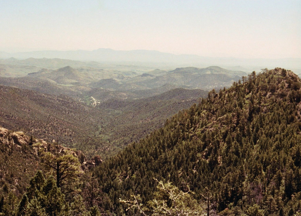
Gila east view
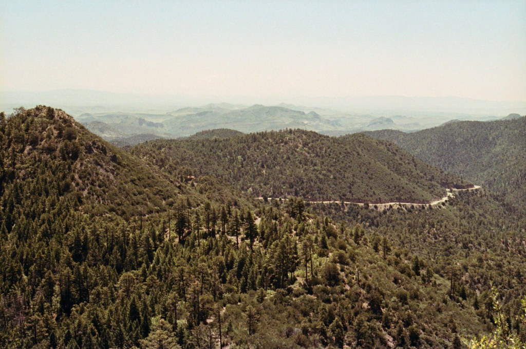
Gila highway
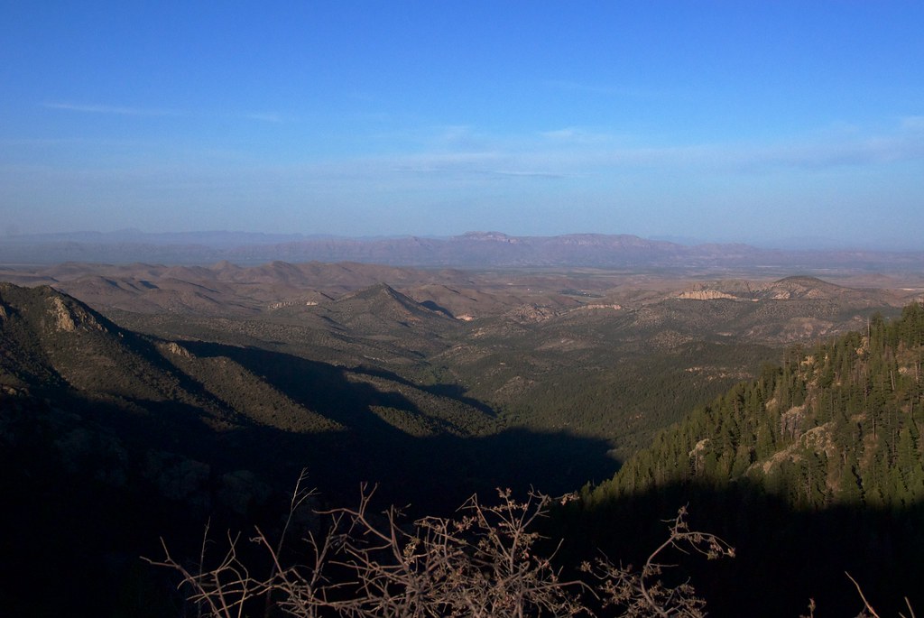
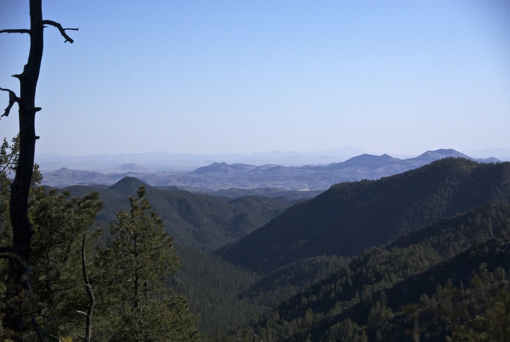
East, from Emory Pass
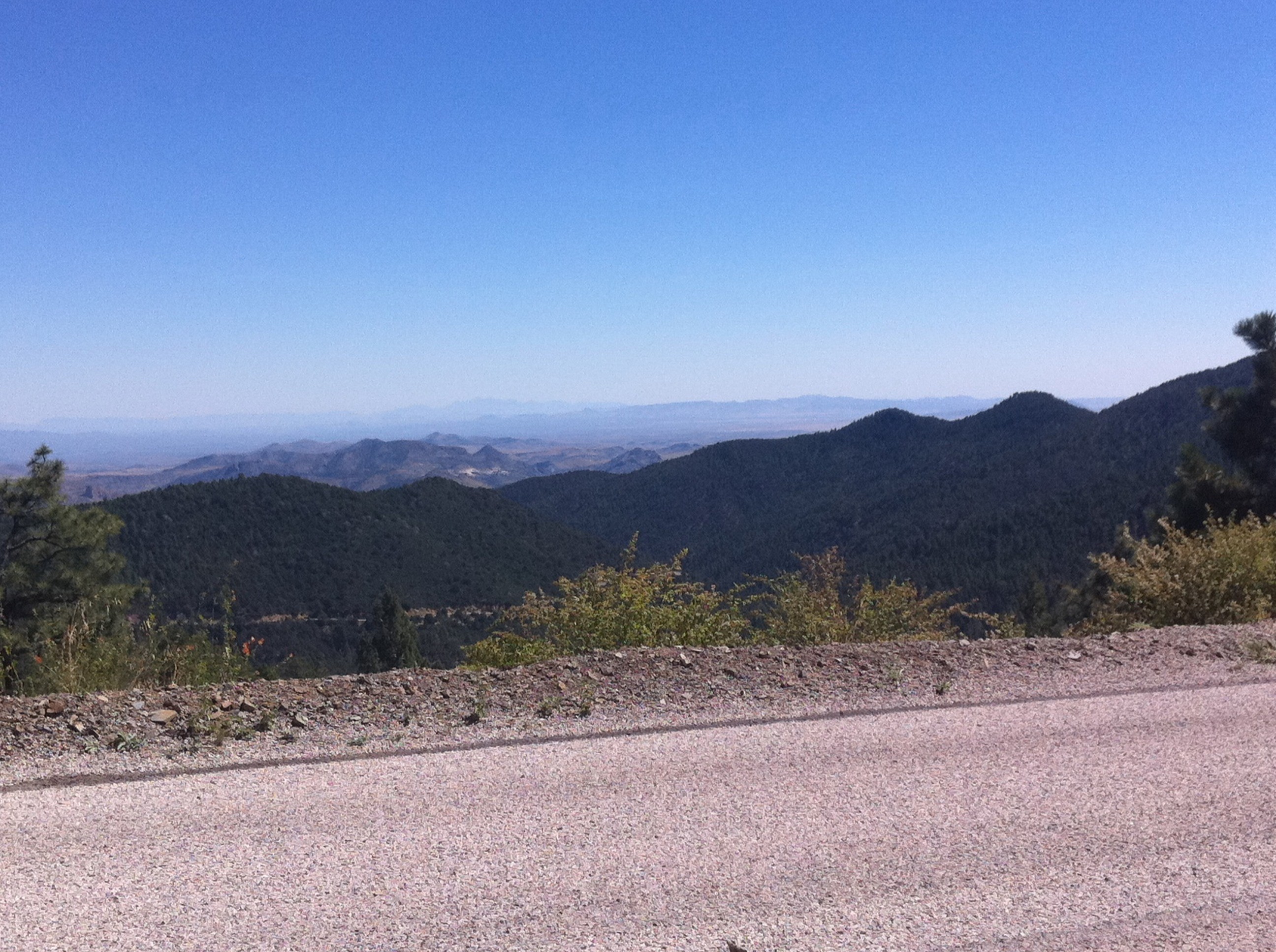
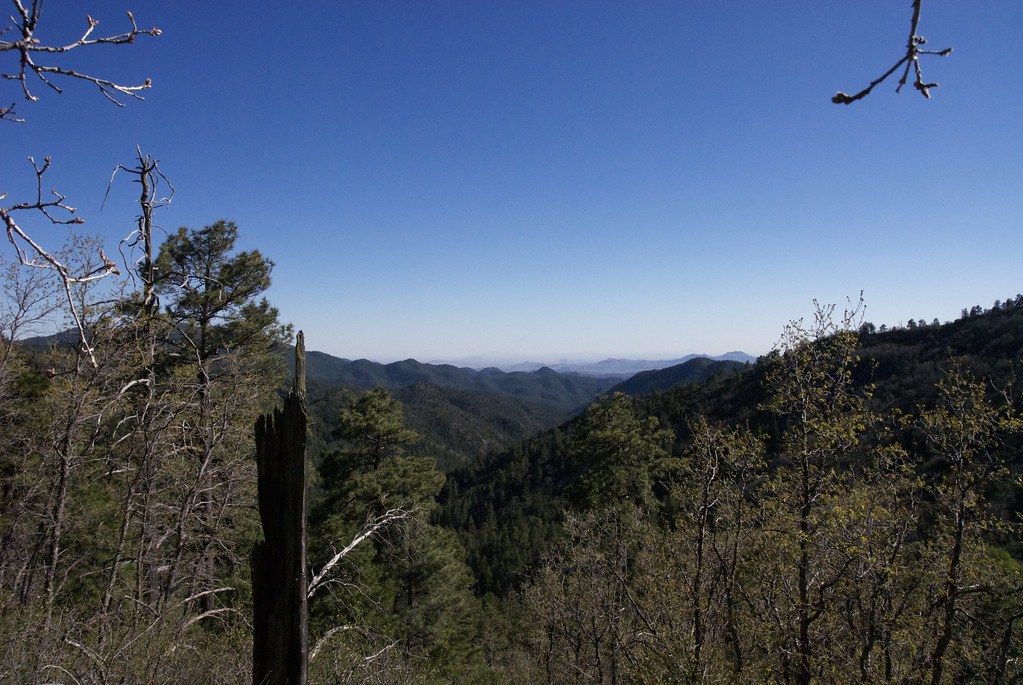
The view from the top of Emory Pass
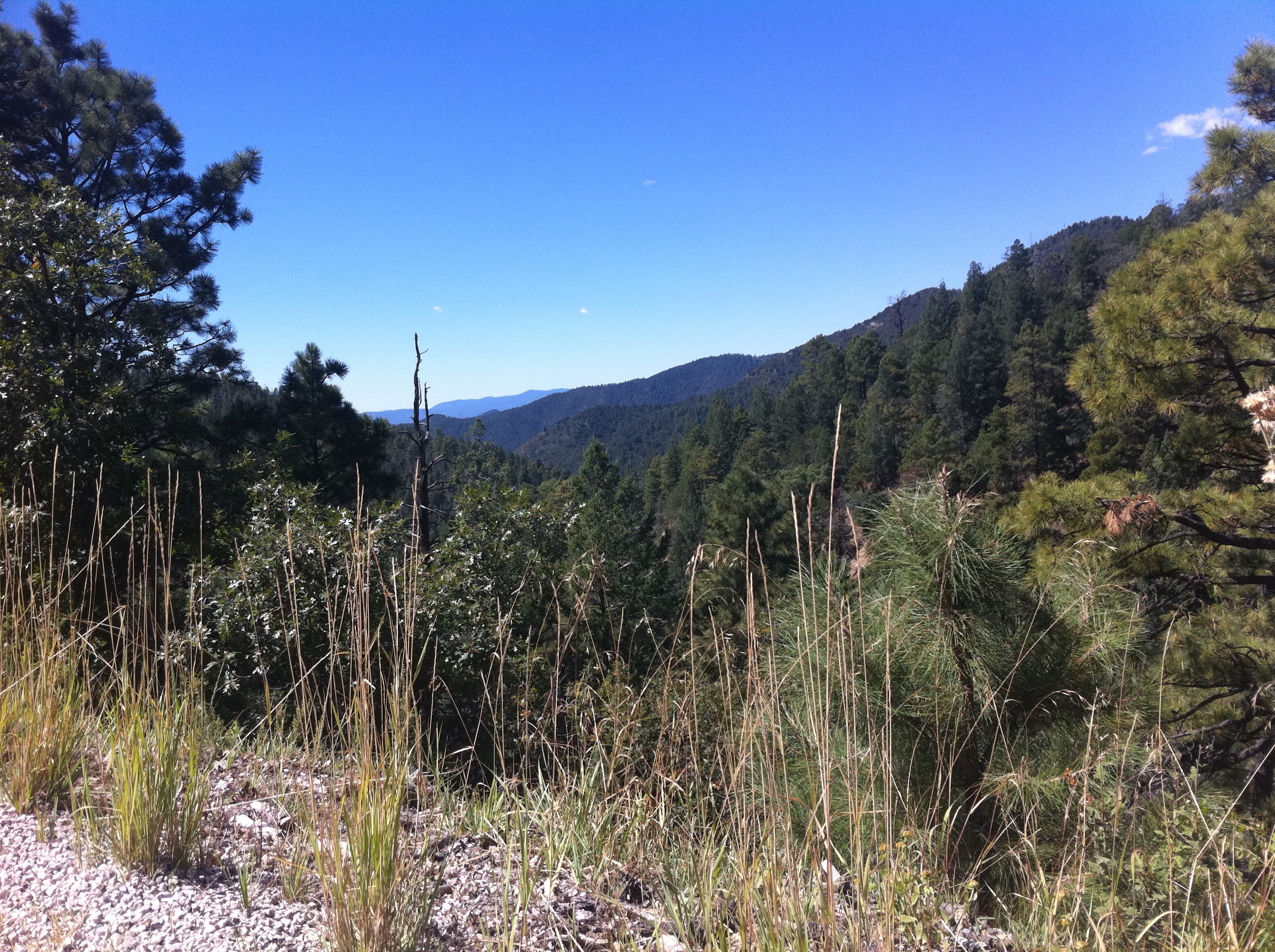
The view at the top of Emory Pass
Topographic Map of Sawyers Peak, New Mexico, USA
Find elevation by address:

Places near Sawyers Peak, New Mexico, USA:
New Mexico 152
Cross-o Mountain
Hillsboro Peak
Kingston
Granite Peak
165 Royal John Mine Rd
San Lorenzo
20 Rainbow Rd
20 Rainbow Rd
13 Lost Spring Rd
Milkhouse Mesa
90 El Otro Lado Rd
90 El Otro Lado Rd
NM-61, Hanover, NM, USA
Mcclede Mountain
Apache Peak
Mimbres
Berrenda Mountain North
Berrenda Mountain South
2177 Nm-61
Recent Searches:
- Elevation of Corso Fratelli Cairoli, 35, Macerata MC, Italy
- Elevation of Tallevast Rd, Sarasota, FL, USA
- Elevation of 4th St E, Sonoma, CA, USA
- Elevation of Black Hollow Rd, Pennsdale, PA, USA
- Elevation of Oakland Ave, Williamsport, PA, USA
- Elevation of Pedrógão Grande, Portugal
- Elevation of Klee Dr, Martinsburg, WV, USA
- Elevation of Via Roma, Pieranica CR, Italy
- Elevation of Tavkvetili Mountain, Georgia
- Elevation of Hartfords Bluff Cir, Mt Pleasant, SC, USA