Elevation of Royal John Mine Rd, San Lorenzo, NM, USA
Location: United States > New Mexico > Grant County > San Lorenzo >
Longitude: -107.86341
Latitude: 32.7507114
Elevation: 1720m / 5643feet
Barometric Pressure: 82KPa
Elevation Map:
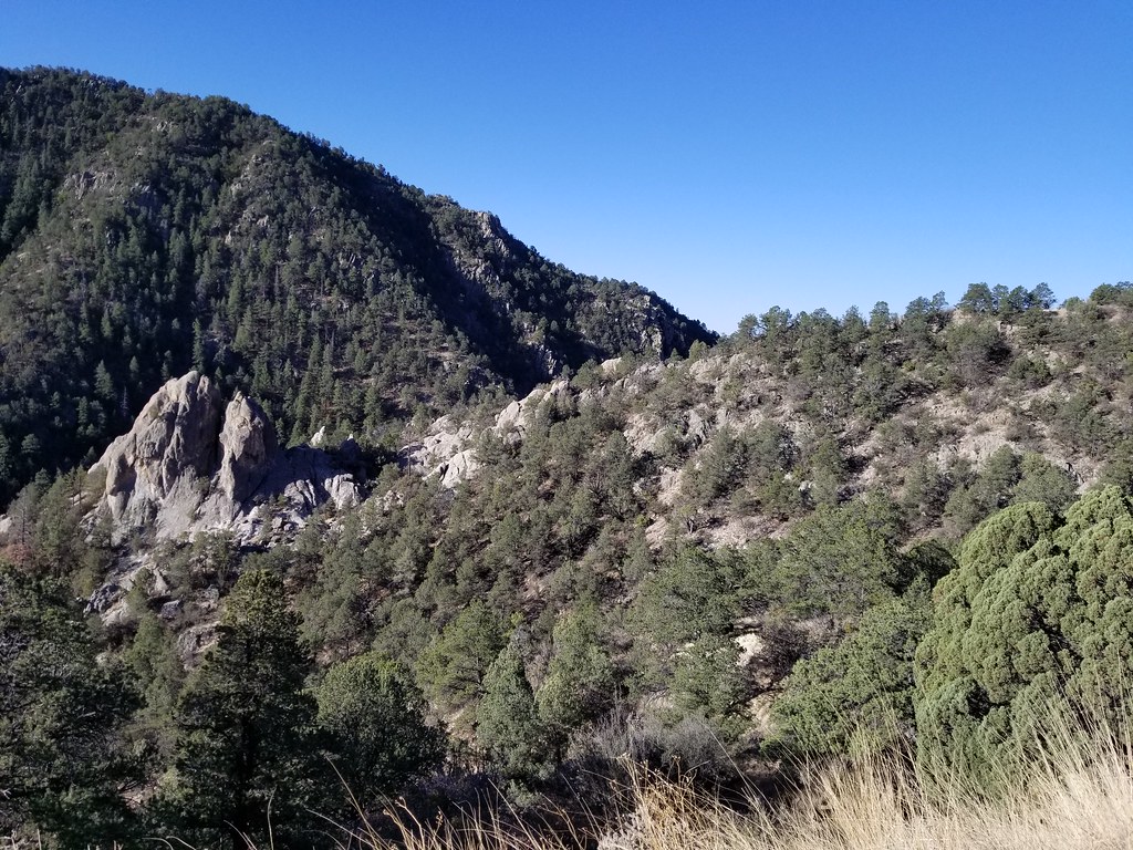
Satellite Map:
Related Photos:

San Andres National Wildlife

View from the top of the driveway to Funky Butte Ranch

A Mimbres Afternoon

Jesus nook

Cliffs seen while climbing Emory Pass

NM-152 East Approaching NM-35

10-2015 Fall in New Mexico

New Mexico. April 2018.

New Mexico. April 2018.

Looking at Funky Butte Ranch
New Mexico. April 2018.

New Mexico. April 2018.

New Mexico. April 2018.

New Mexico. April 2018.

10-2015 Fall in New Mexico

New Mexico. April 2018.

10-2015 Fall in New Mexico
Topographic Map of Royal John Mine Rd, San Lorenzo, NM, USA
Find elevation by address:

Places near Royal John Mine Rd, San Lorenzo, NM, USA:
NM-61, Hanover, NM, USA
2177 Nm-61
2177 Nm-61
San Lorenzo
Mimbres Peak
20 Rainbow Rd
20 Rainbow Rd
13 Lost Spring Rd
90 El Otro Lado Rd
90 El Otro Lado Rd
Sawyers Peak
Mimbres
Whiterock Mountain
New Mexico 152
Mule Springs Peak
Cross-o Mountain
Hillsboro Peak
Kingston
Fierro Rd, Hanover, NM, USA
Lee Mountain
Recent Searches:
- Elevation of Groblershoop, South Africa
- Elevation of Power Generation Enterprises | Industrial Diesel Generators, Oak Ave, Canyon Country, CA, USA
- Elevation of Chesaw Rd, Oroville, WA, USA
- Elevation of N, Mt Pleasant, UT, USA
- Elevation of 6 Rue Jules Ferry, Beausoleil, France
- Elevation of Sattva Horizon, 4JC6+G9P, Vinayak Nagar, Kattigenahalli, Bengaluru, Karnataka, India
- Elevation of Great Brook Sports, Gold Star Hwy, Groton, CT, USA
- Elevation of 10 Mountain Laurels Dr, Nashua, NH, USA
- Elevation of 16 Gilboa Ln, Nashua, NH, USA
- Elevation of Laurel Rd, Townsend, TN, USA