Elevation of 20 Dogwood Rd, Burnside, KY, USA
Location: United States > Kentucky > Pulaski County > Burnside >
Longitude: -84.583028
Latitude: 36.9026699
Elevation: 369m / 1211feet
Barometric Pressure: 97KPa
Elevation Map:
Satellite Map:
Related Photos:
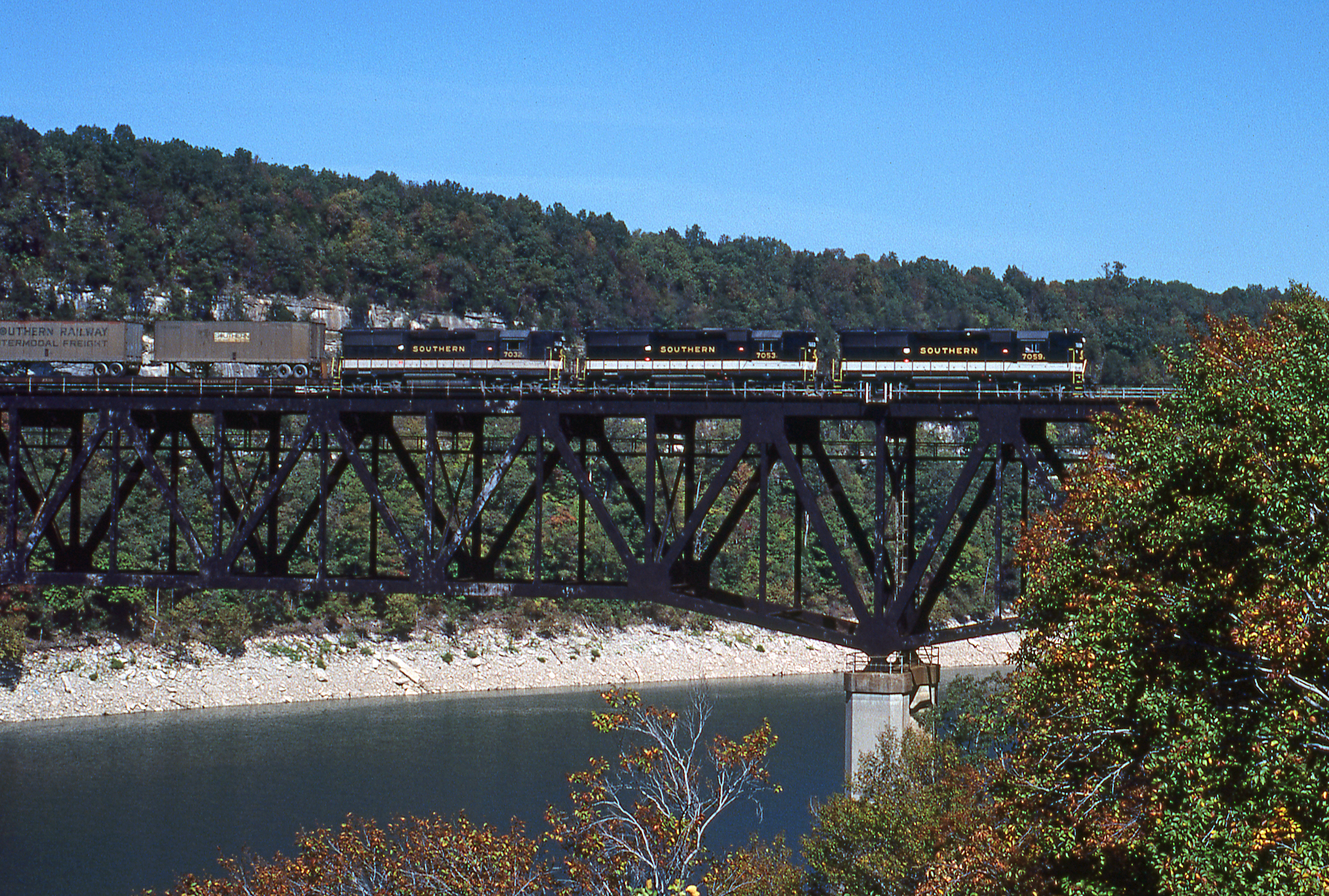
1981 09-30 1410 SR GP50-7059 S/B Burnside, KY

Clear North View
Clear South View

Beautiful View of Lake Cumberland

Campground #5 - AFTER

Exterior view
NS 132 at Keno Cut
NS 957, Burnside,KY 6/1/2014

NS 940 Shelton Cut

NS Local T43

NS Train 295

NS Train 295
Yahoooooooo!

NS Train 54G
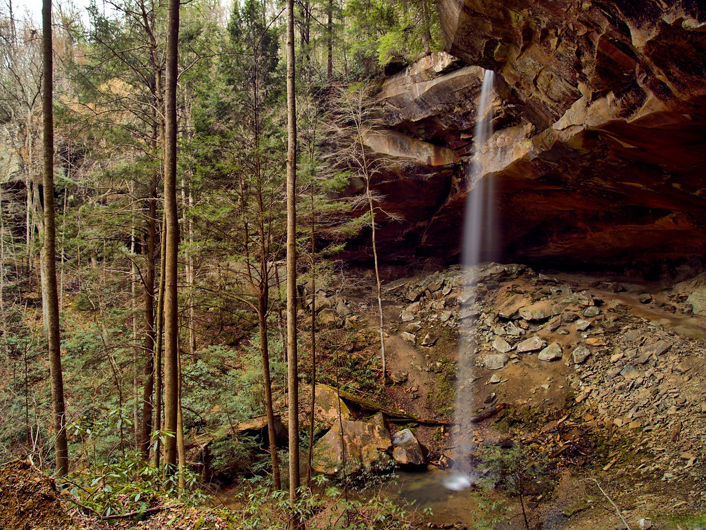
Yahoo Falls

018_15.JPG

10 stop marina

NS Train's 132, 52R, 143 & 890

NS Train 56E

NS Train 147

NS Train 215

NS Train 179
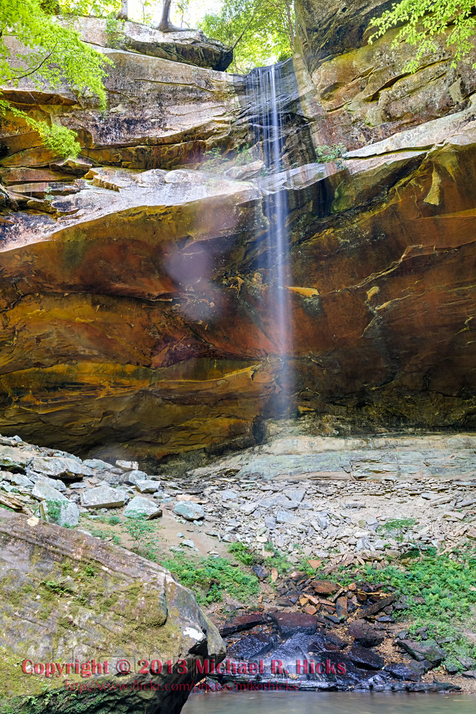
Yahoo Falls
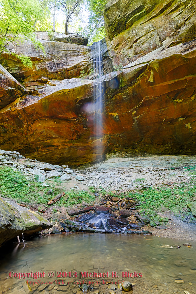
Yahoo Falls, Kentucky
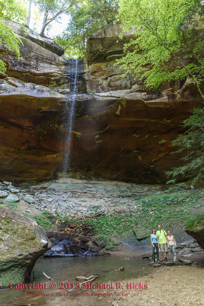
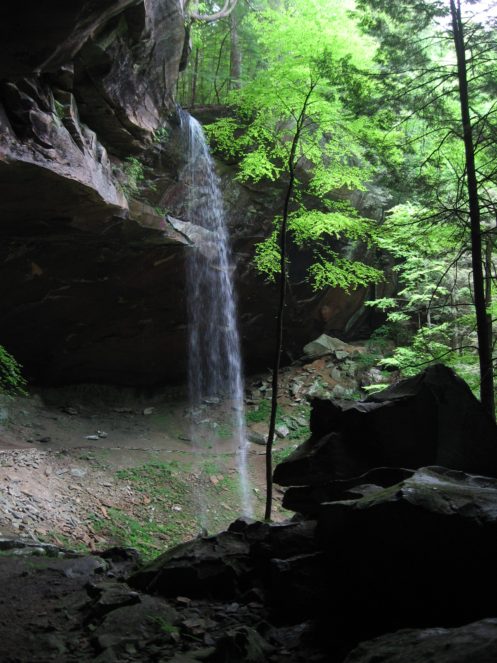
Yahoo Falls
Topographic Map of 20 Dogwood Rd, Burnside, KY, USA
Find elevation by address:

Places near 20 Dogwood Rd, Burnside, KY, USA:
20 Dogwood Rd
56 Cr-1311
405 Alton Rd
Burnside, KY, USA
General Burnside State Park
130 W Lakeshore Dr
Burnside
US-27, Burnside, KY, USA
Bronston
Cooper Power Plant Road
Cooper Power Plant Road
45 Dogwood Trail
235 Taylor Cir
180 Waitsboro Cir
51 Valley Dale Dr
Tuscany Drive
125 Slate Branch Rd
1270 Ky-3057
Ridge Road
44 Morning Crossing Dr
Recent Searches:
- Elevation of Beall Road, Beall Rd, Florida, USA
- Elevation of Leguwa, Nepal
- Elevation of County Rd, Enterprise, AL, USA
- Elevation of Kolchuginsky District, Vladimir Oblast, Russia
- Elevation of Shustino, Vladimir Oblast, Russia
- Elevation of Lampiasi St, Sarasota, FL, USA
- Elevation of Elwyn Dr, Roanoke Rapids, NC, USA
- Elevation of Congressional Dr, Stevensville, MD, USA
- Elevation of Bellview Rd, McLean, VA, USA
- Elevation of Stage Island Rd, Chatham, MA, USA