Elevation of 20 Dogwood Rd, Burnside, KY, USA

Location: United States > Kentucky > Pulaski County > Burnside >

Longitude: -84.583028

Latitude: 36.9026699

Elevation: 369m / 1211feet

Barometric Pressure: 97KPa

Elevation Map:

elevation map of 20 Dogwood Rd, Burnside, KY, USA

Satellite Map:

Satellite map of 20 Dogwood Rd, Burnside, KY, USA

Related Photos:

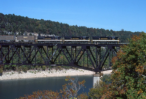
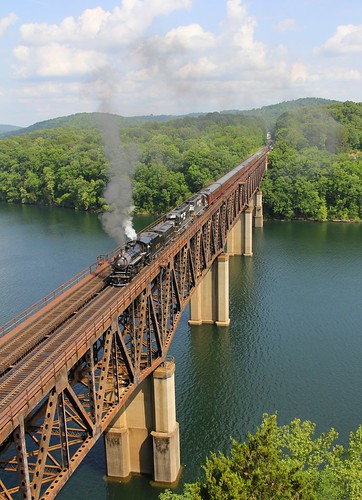
1981 09-30 1410 SR GP50-7059 S/B Burnside, KY
kentucky olympus keno zd 1454mm e420
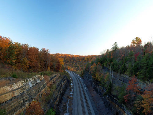
Clear North View
kentucky olympus keno zd 1454mm e420
Clear South View
camping kentucky mmf lakecumberland mastermusiciansfestival somersetky waitsborocampground beautifulkentucky waitsbororecreation
Beautiful View of Lake Cumberland
camping kentucky mmf lakecumberland mastermusiciansfestival somersetky waitsborocampground beautifulkentucky waitsbororecreation
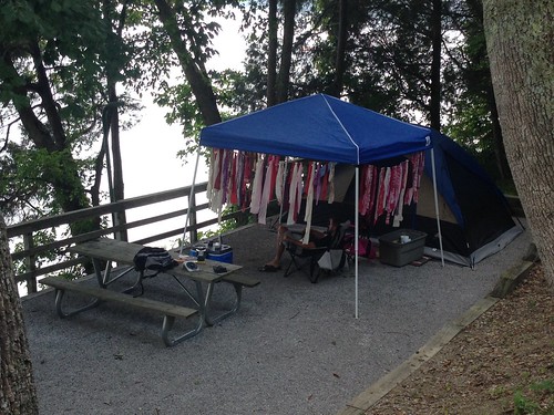
Campground #5 - AFTER
usa unitedstates kentucky bridges somerset crowns dentures teethwhitening cosmeticdentist rootcanaldentist cereccrowns 42501dentist cosmeticdentistsomerset somersetdentist
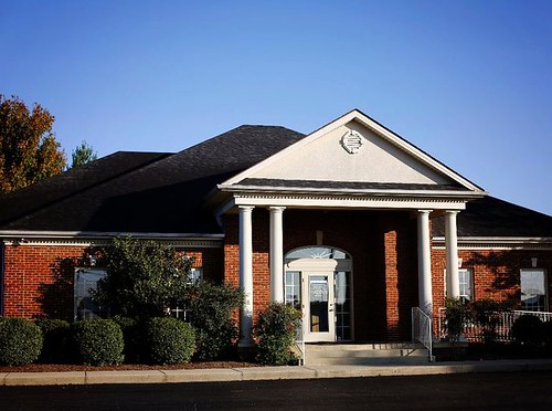
Exterior view
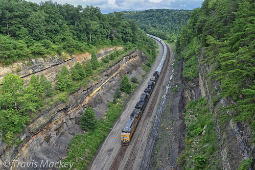
NS 132 at Keno Cut
ns 940 rathole cnotp 2nd district keno ky shelton cut dash9 standard cab
NS 940 Shelton Cut
trees reflection nature water creek canon river landscape stream outdoor kentucky country backroad 50d eos50d southeastkentucky
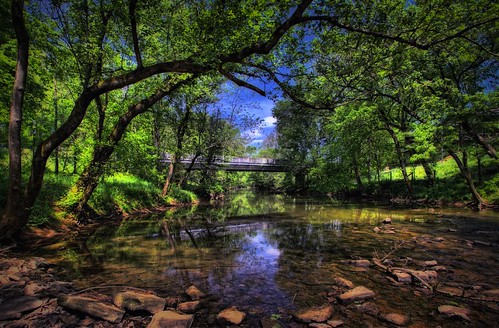
Pitman Creek
unitedstates kentucky whitleycity camera:make=canon exif:make=canon exif:iso_speed=100 geo:state=kentucky exif:focal_length=10mm geo:countrys=unitedstates camera:model=canoneos7d exif:model=canoneos7d exif:lens=1020mm exif:aperture=ƒ10 geo:city=whitleycity geo:lat=36772343333333 geo:lon=84519293333333
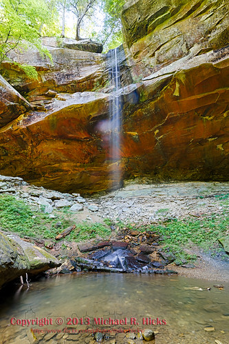
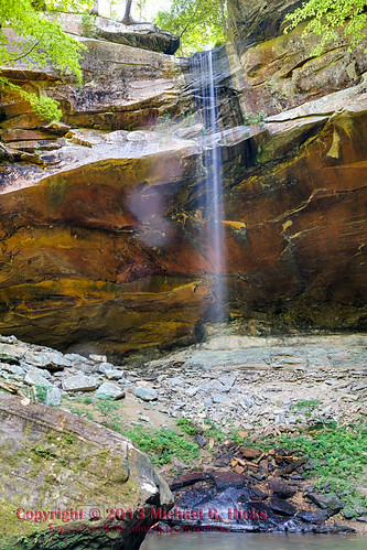
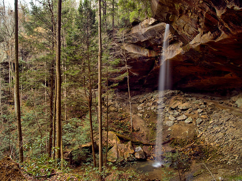
Yahoo Falls
landscape geotagged unitedstates hiking kentucky waterfalls flatrock bigsouthfork whitleycity camera:make=canon exif:make=canon exif:iso_speed=100 canon7d nashvillehikingmeetup geo:state=kentucky bigsouthforknationalriverrecreationarea exif:focal_length=15mm geo:countrys=unitedstates camera:model=canoneos7d exif:model=canoneos7d exif:lens=1020mm exif:aperture=ƒ13 geo:city=whitleycity geo:lat=3677223865 geo:lon=8451947777 geo:lon=84519445 geo:lat=36772221666667
Yahoo Falls
ns9136 droneshot nscentraldivisionseconddistrictcnotp burnside kentucky unitedstates us
NS Train 295
trains612014
NS 957, Burnside,KY 6/1/2014
waterfall kentucky yahoofalls bigsouthforknationalrecreationarea
Yahoooooooo!
droneshot nscentraldivisionseconddistrictcnotp burnside kentucky unitedstates us
NS Train 54G
big south fork
018_15.JPG
day cloudy sunny partlycloudy
10 stop marina
ns9136 droneshot nscentraldivisionseconddistrictcnotp burnside kentucky unitedstates us
NS Train 295
usa tree forest photoshop us woods flora nikon kentucky unitedstatesofamerica bosque árbol nikkor hdr hdri burnside bracketing ldr 3xp tonemapping danielboonenationalforest tonemap highdynamicrangeimaging ldri 3ev d3s 2470mmf28g
Daniel Boone National Forest [1502]
ns8923 droneshot nscentraldivisionseconddistrictcnotp burnside kentucky unitedstates us
NS Train 56E
droneshot ns9558 nscentraldivisionseconddistrictcnotp parkerslake kentucky unitedstates us
NS Train 147
ns8354 droneshot nscentraldivisionseconddistrictcnotp burnside kentucky unitedstates us
NS Train 215
ns8378 droneshot nscentraldivisionseconddistrictcnotp parkerslake kentucky unitedstates us
NS Train 179
ns3236 droneshot nscentraldivisionseconddistrictcnotp burnside kentucky unitedstates us
NS Local T43
ns9818 nscentraldivisionseconddistrictcnotp ns4012 ns9147 droneshot up6375 burnside kentucky unitedstates us
NS Train's 132, 52R, 143 & 890
NS Train 295